Hill Top Plantation
Wood, Forest in Yorkshire Scarborough
England
Hill Top Plantation
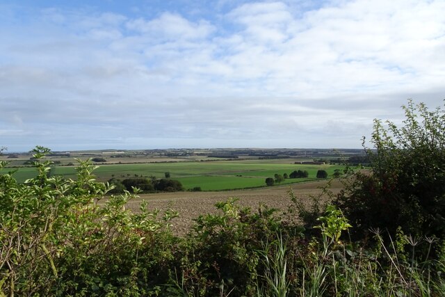
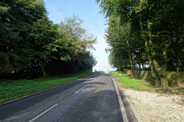
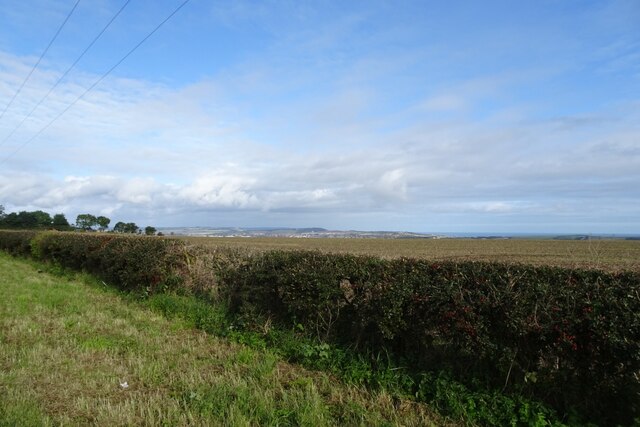
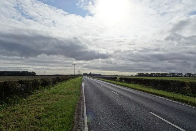
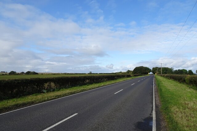
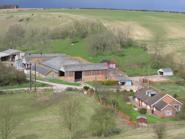
Hill Top Plantation is a picturesque woodland area located in the heart of Yorkshire, England. Spanning over a vast area of land, this plantation is renowned for its lush greenery, towering trees, and serene atmosphere. Situated on a hilltop, the plantation offers breathtaking panoramic views of the surrounding countryside.
Covering a variety of tree species, Hill Top Plantation is primarily composed of oak, beech, and birch trees. The diversity of flora creates a rich and vibrant ecosystem, attracting a wide array of wildlife. Visitors can expect to encounter numerous bird species, such as woodpeckers and owls, as well as small mammals like squirrels and rabbits.
The plantation is a haven for nature enthusiasts and outdoor adventurers alike. With its extensive network of walking trails, visitors can explore the woodland at their own pace, immersing themselves in the natural beauty of the area. The trails are well-maintained, ensuring a safe and enjoyable experience for all visitors.
In addition to its natural wonders, Hill Top Plantation also boasts several amenities for visitors. There are picnic areas scattered throughout the woodland, providing the perfect spot to relax and enjoy a meal amidst the serene surroundings. The plantation also offers guided tours and educational programs, allowing visitors to learn about the rich history and ecological importance of the area.
Overall, Hill Top Plantation is a hidden gem in Yorkshire, offering a sanctuary for nature lovers and a peaceful retreat for those seeking solace in the beauty of the outdoors. Its breathtaking scenery and diverse wildlife make it a must-visit destination for anyone exploring the region.
If you have any feedback on the listing, please let us know in the comments section below.
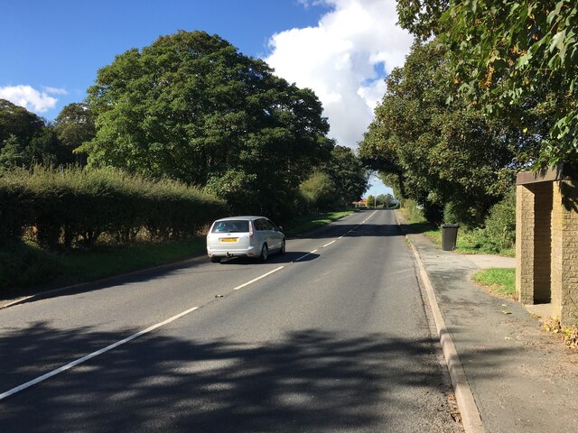
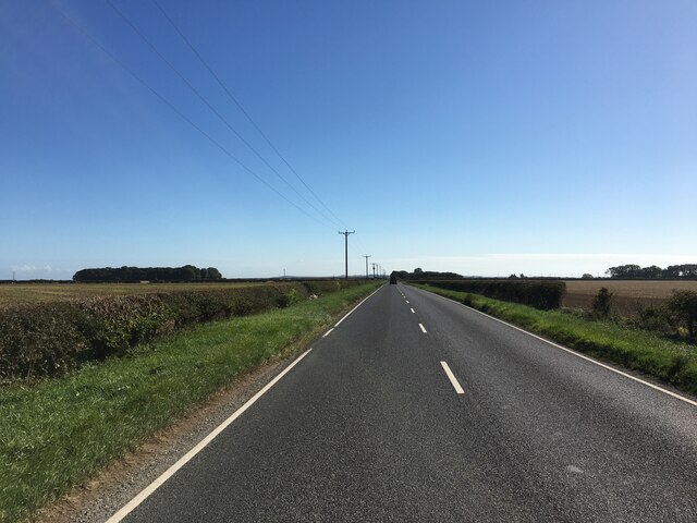
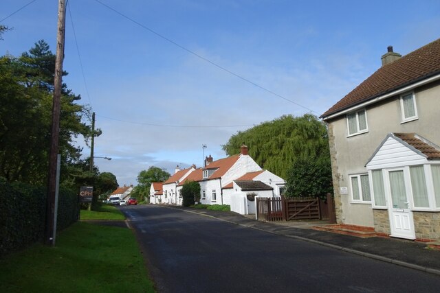
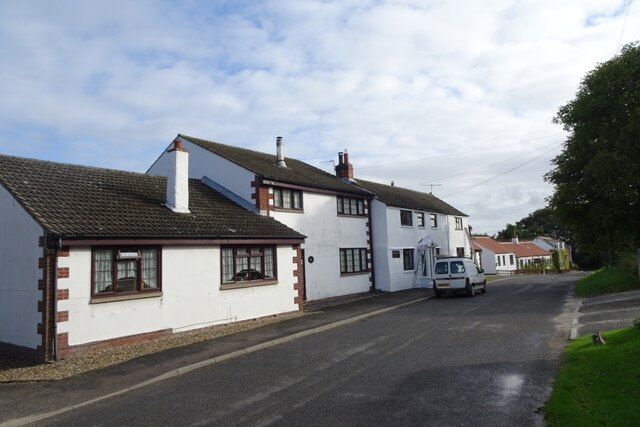
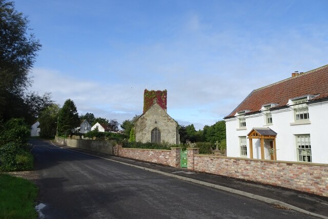
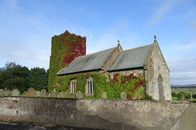
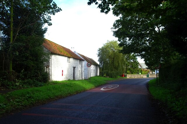
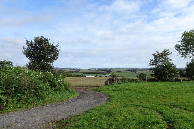
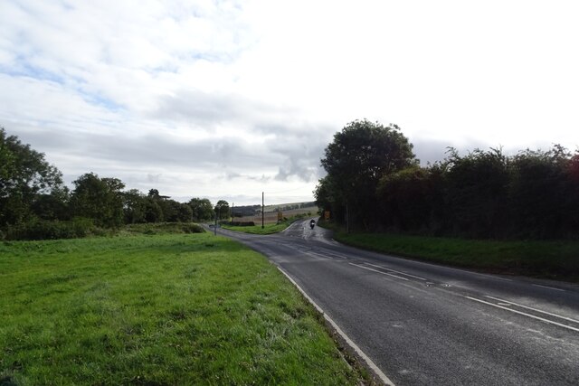
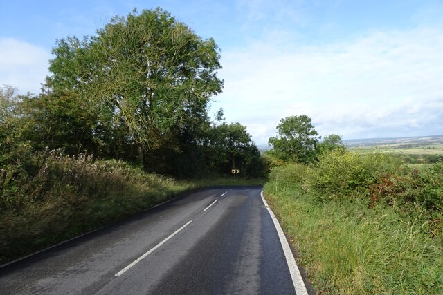
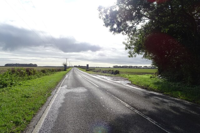
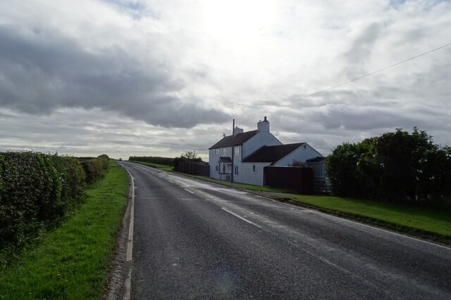
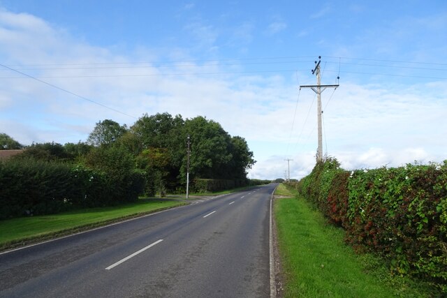
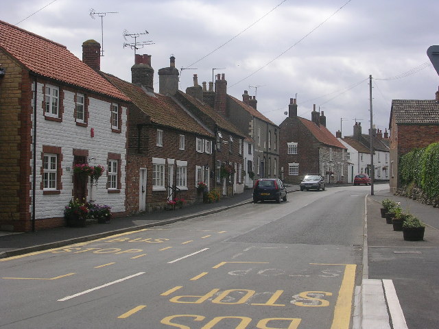
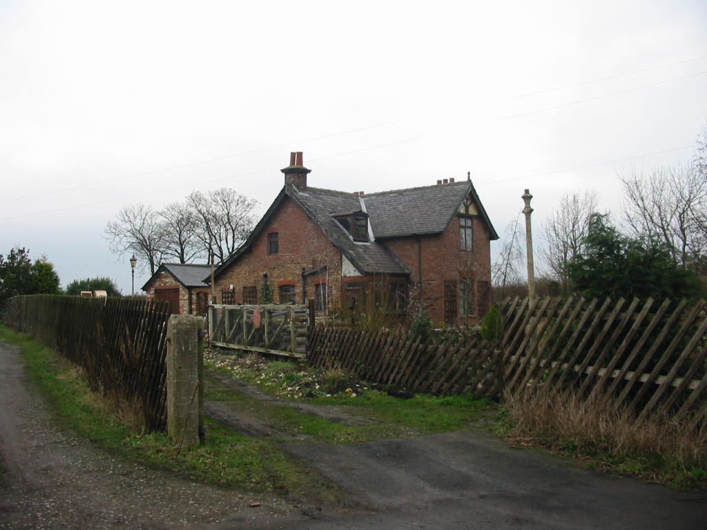
Hill Top Plantation Images
Images are sourced within 2km of 54.193742/-0.37192203 or Grid Reference TA0678. Thanks to Geograph Open Source API. All images are credited.
Hill Top Plantation is located at Grid Ref: TA0678 (Lat: 54.193742, Lng: -0.37192203)
Division: East Riding
Administrative County: North Yorkshire
District: Scarborough
Police Authority: North Yorkshire
What 3 Words
///twee.zoned.trusts. Near Hunmanby, North Yorkshire
Nearby Locations
Related Wikis

Folkton
Folkton is a small village and civil parish at the foot of the Yorkshire Wolds and on the edge of the Vale of Pickering on an area known as Folkton Carr...

Flixton, North Yorkshire
Flixton is a village in North Yorkshire, England. Until 1974 the village lay in the historic county boundaries of the East Riding of Yorkshire and from...
Muston, North Yorkshire
Muston is a village and civil parish, in North Yorkshire, England. It was historically in the East Riding of Yorkshire. The village is situated 1.5 miles...
Gristhorpe railway station
Gristhorpe railway station was a minor railway station on the Yorkshire Coast Line from Scarborough to Hull, serving the villages of Gristhorpe and Lebberston...

Sherburn Rural District
Sherburn was a rural district in the East Riding of Yorkshire from 1894 to 1935. It was formed under the Local Government Act 1894 from that part of the...

Cayton railway station
Cayton railway station was a minor railway station serving the village of Cayton on the Yorkshire Coast Line from Scarborough to Hull and was opened on...

Hunmanby
Hunmanby is a large village and civil parish in North Yorkshire, England. It was part of the East Riding of Yorkshire until 1974. From 1974 to 2023 it...
Fordon, East Riding of Yorkshire
Fordon is a village and former civil parish, now in the parish of Wold Newton, in the East Riding of Yorkshire, England, near the border with North Yorkshire...
Nearby Amenities
Located within 500m of 54.193742,-0.37192203Have you been to Hill Top Plantation?
Leave your review of Hill Top Plantation below (or comments, questions and feedback).