Spell Howe
Heritage Site in Yorkshire Scarborough
England
Spell Howe
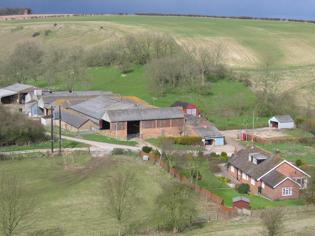
Spell Howe is a prominent heritage site located in Yorkshire, England. Situated in the North York Moors National Park, it is an ancient burial mound that dates back to the Bronze Age, making it around 4,000 years old. The site can be found near the village of Rosedale Abbey, offering a picturesque and tranquil setting for visitors.
The burial mound at Spell Howe is a circular earthwork structure, measuring approximately 30 meters in diameter and 3 meters in height. It is surrounded by a shallow ditch, which was likely used as a boundary marker during its construction. The mound was built using local materials, such as stone and earth, creating a distinctive and imposing feature in the landscape.
Archaeological excavations have revealed that the mound was used as a burial site, containing human remains and grave goods from the Bronze Age period. These discoveries provide valuable insights into the burial practices and beliefs of the ancient inhabitants of this area.
Spell Howe is not only historically significant but also offers stunning views of the surrounding countryside. Visitors can explore the site and take in the beauty of the North York Moors, with its rolling hills and lush vegetation. The area is also rich in wildlife, making it an ideal spot for nature enthusiasts and photographers.
As a protected heritage site, Spell Howe is carefully managed and maintained to ensure its preservation. Interpretive boards and information panels provide visitors with historical context and details about the site's significance. The site can be accessed via footpaths, and guided tours are available to provide a more in-depth understanding of its history and cultural importance.
If you have any feedback on the listing, please let us know in the comments section below.
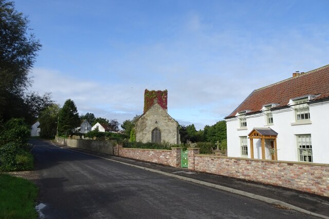
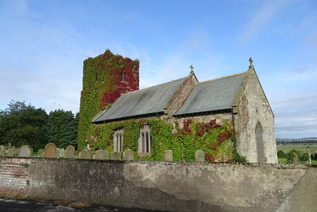
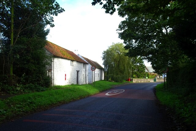
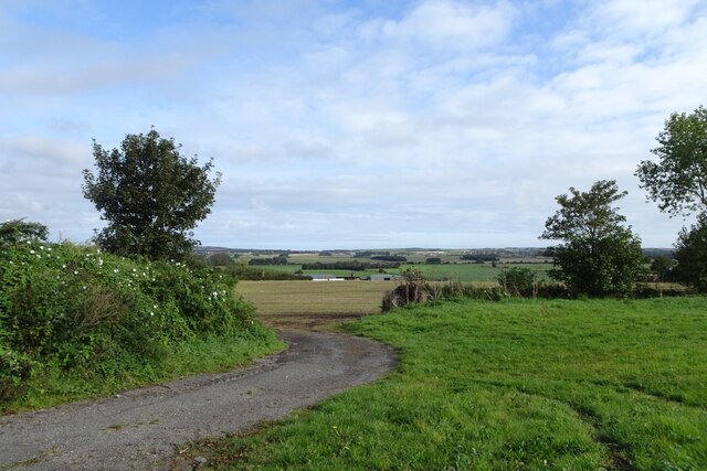
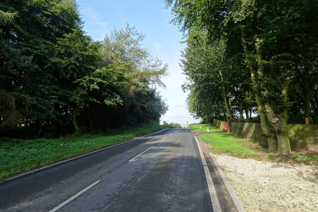
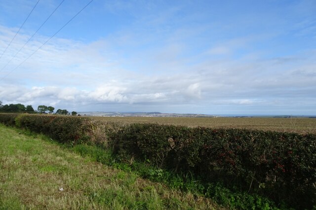
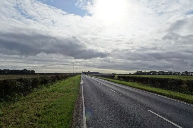
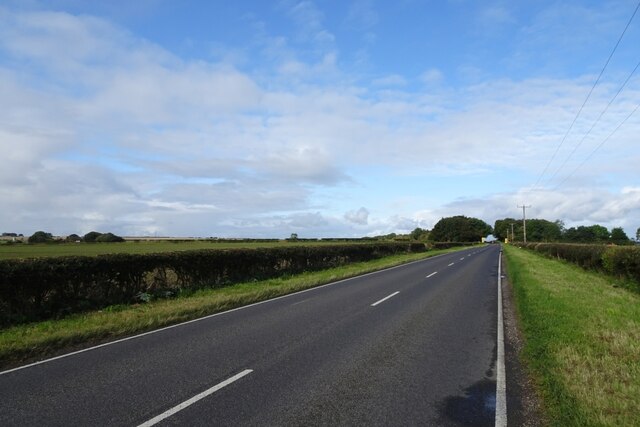
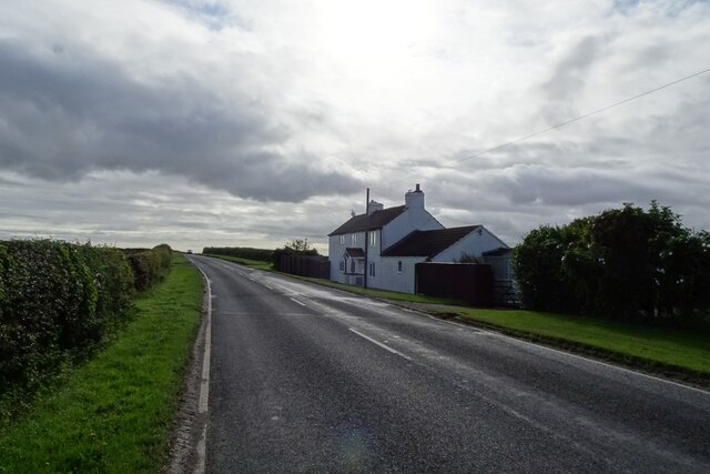
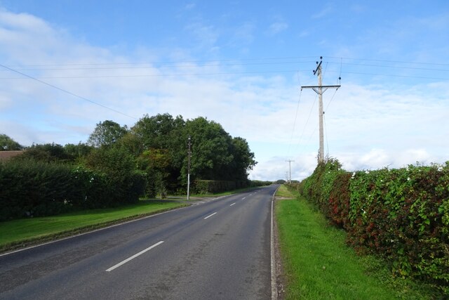
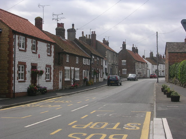
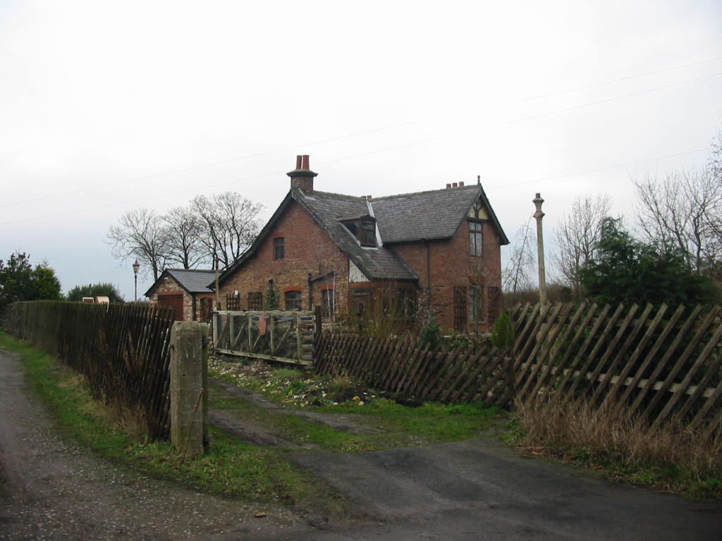
Spell Howe Images
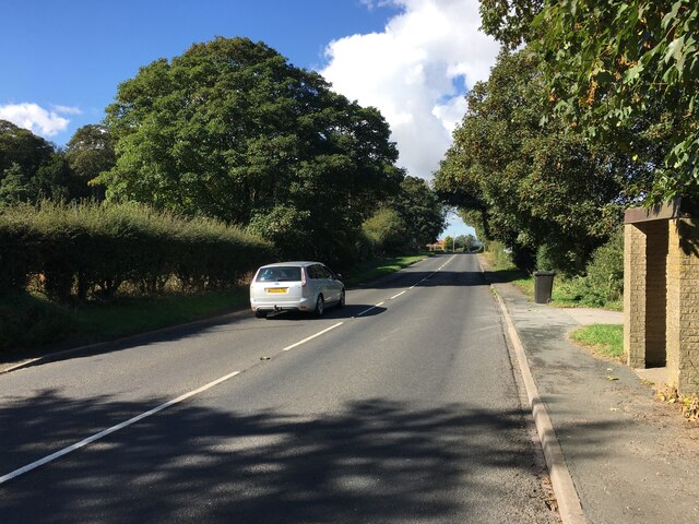
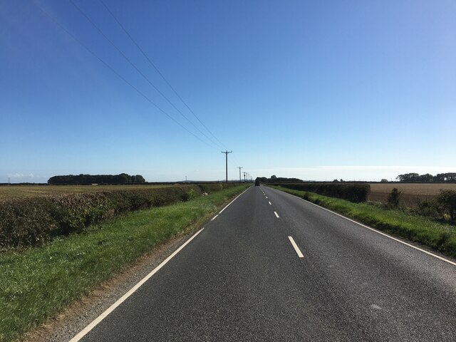
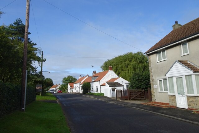
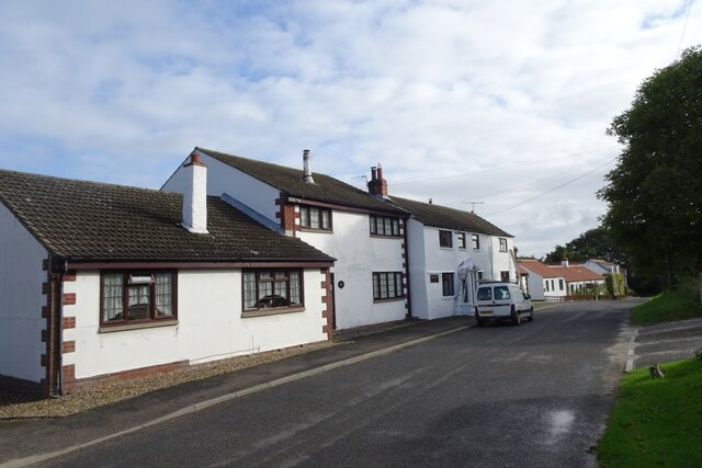
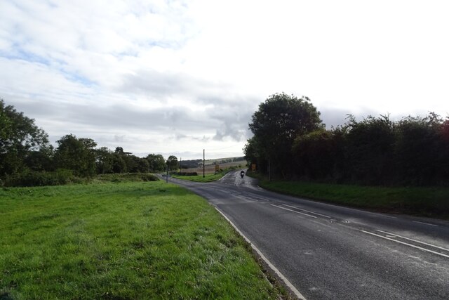
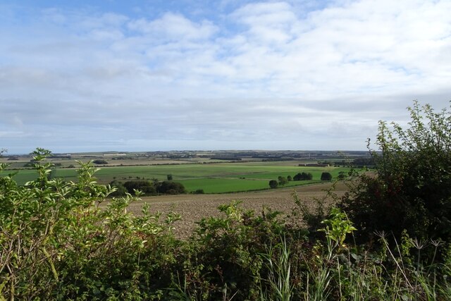
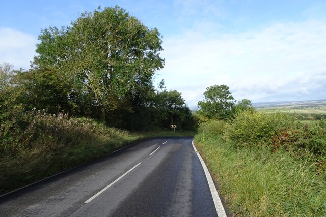
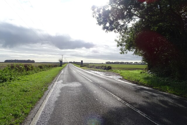
Images are sourced within 2km of 54.19/-0.367 or Grid Reference TA0678. Thanks to Geograph Open Source API. All images are credited.
Spell Howe is located at Grid Ref: TA0678 (Lat: 54.19, Lng: -0.367)
Division: East Riding
Administrative County: North Yorkshire
District: Scarborough
Police Authority: North Yorkshire
What 3 Words
///rumbles.rivers.reset. Near Hunmanby, North Yorkshire
Nearby Locations
Related Wikis

Folkton
Folkton is a small village and civil parish at the foot of the Yorkshire Wolds and on the edge of the Vale of Pickering on an area known as Folkton Carr...

Flixton, North Yorkshire
Flixton is a village in North Yorkshire, England. Until 1974 the village lay in the historic county boundaries of the East Riding of Yorkshire and from...
Muston, North Yorkshire
Muston is a village and civil parish, in North Yorkshire, England. It was historically in the East Riding of Yorkshire. The village is situated 1.5 miles...

Hunmanby
Hunmanby is a large village and civil parish in North Yorkshire, England. It was part of the East Riding of Yorkshire until 1974. From 1974 to 2023 it...
Gristhorpe railway station
Gristhorpe railway station was a minor railway station on the Yorkshire Coast Line from Scarborough to Hull, serving the villages of Gristhorpe and Lebberston...
Fordon, East Riding of Yorkshire
Fordon is a village and former civil parish, now in the parish of Wold Newton, in the East Riding of Yorkshire, England, near the border with North Yorkshire...

Hunmanby railway station
Hunmanby railway station serves the large village of Hunmanby in North Yorkshire, England. It is located on the Yorkshire Coast Line and is operated by...

Sherburn Rural District
Sherburn was a rural district in the East Riding of Yorkshire from 1894 to 1935. It was formed under the Local Government Act 1894 from that part of the...
Related Videos
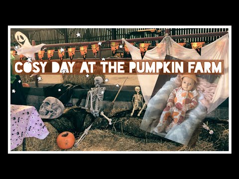
Cosy Autumn day at the pumpkin farm 🎃
Enjoying the little things.. Lovely relaxing day at humble bee farm picking pumpkins and having spooky treats! Delicious veggie ...
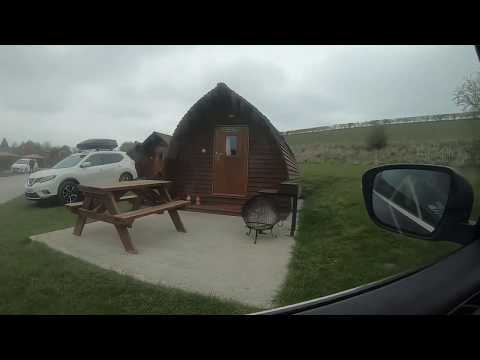
GoPro: Humble Bee Farm Family Glamping 2019
GoPro Hero 6, edited with Splice.
Nearby Amenities
Located within 500m of 54.19,-0.367Have you been to Spell Howe?
Leave your review of Spell Howe below (or comments, questions and feedback).