Aldfield Common

Downs, Moorland in Berkshire Vale of White Horse

England

Aldfield Common

Stileway Road Stileway Road (track) bridleway heading up towards Oldfield Farm
Stileway Road Credit: Shaun Ferguson

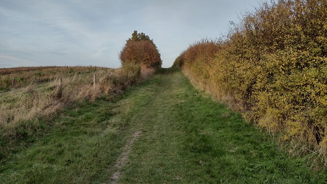
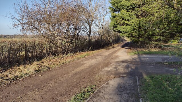
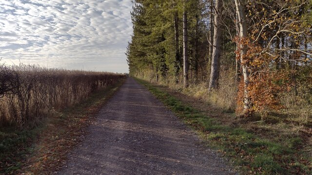
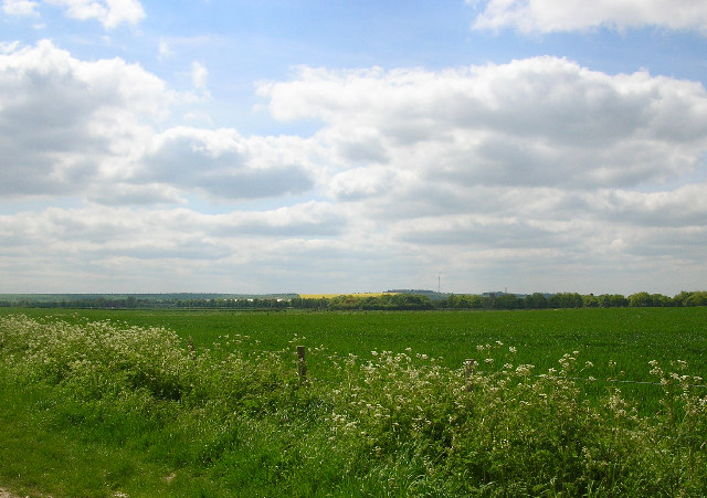
Aldfield Common, located in Berkshire, is a picturesque area known for its stunning natural beauty. Situated on the Downs and Moorland, the common spans over a vast expanse of land, offering visitors a tranquil and serene environment to explore.

Covered in lush greenery, Aldfield Common is home to a diverse range of flora and fauna. Visitors can expect to come across a variety of wildflowers, including heather, gorse, and bluebells, which add vibrant colors to the landscape. The common also provides a habitat for various bird species, such as skylarks and stonechats, making it a popular spot for birdwatching enthusiasts.

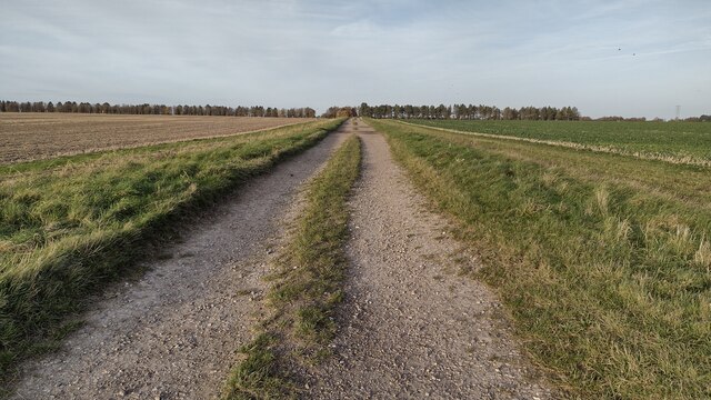
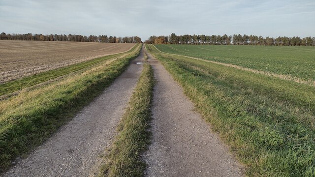
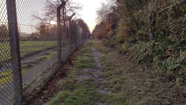
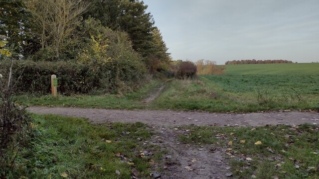
The terrain at Aldfield Common is varied, with rolling hills and open spaces, offering breathtaking panoramic views of the surrounding countryside. The area is crisscrossed by numerous walking trails and footpaths, making it an excellent destination for hikers and nature lovers. These trails lead visitors through patches of woodland, across meadows, and along the edges of babbling brooks, providing a sense of tranquility and escape from the hustle and bustle of everyday life.

Aldfield Common is also rich in historical significance. It has been a site of human activity for centuries, with evidence of ancient settlements and burial grounds. Archaeological finds, including pottery fragments and tools, have been discovered in the area, shedding light on its past inhabitants.

Overall, Aldfield Common offers a peaceful retreat for those seeking to immerse themselves in nature and explore the beauty of the Berkshire countryside.

If you have any feedback on the listing, please let us know in the comments section below.

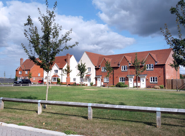
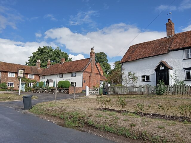
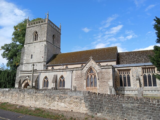
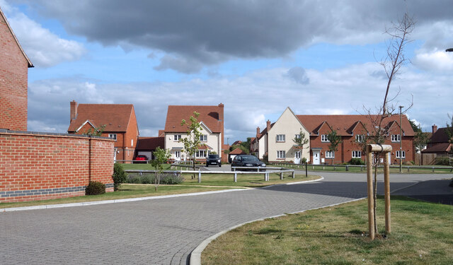
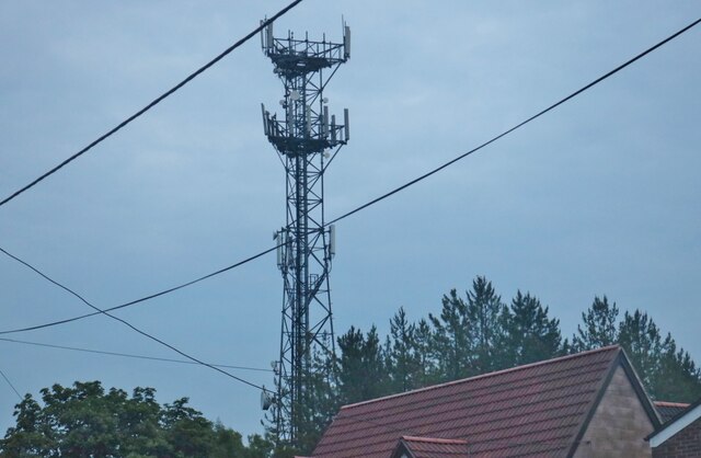
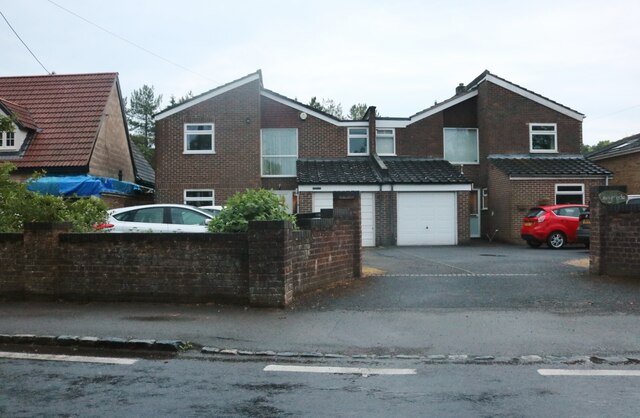
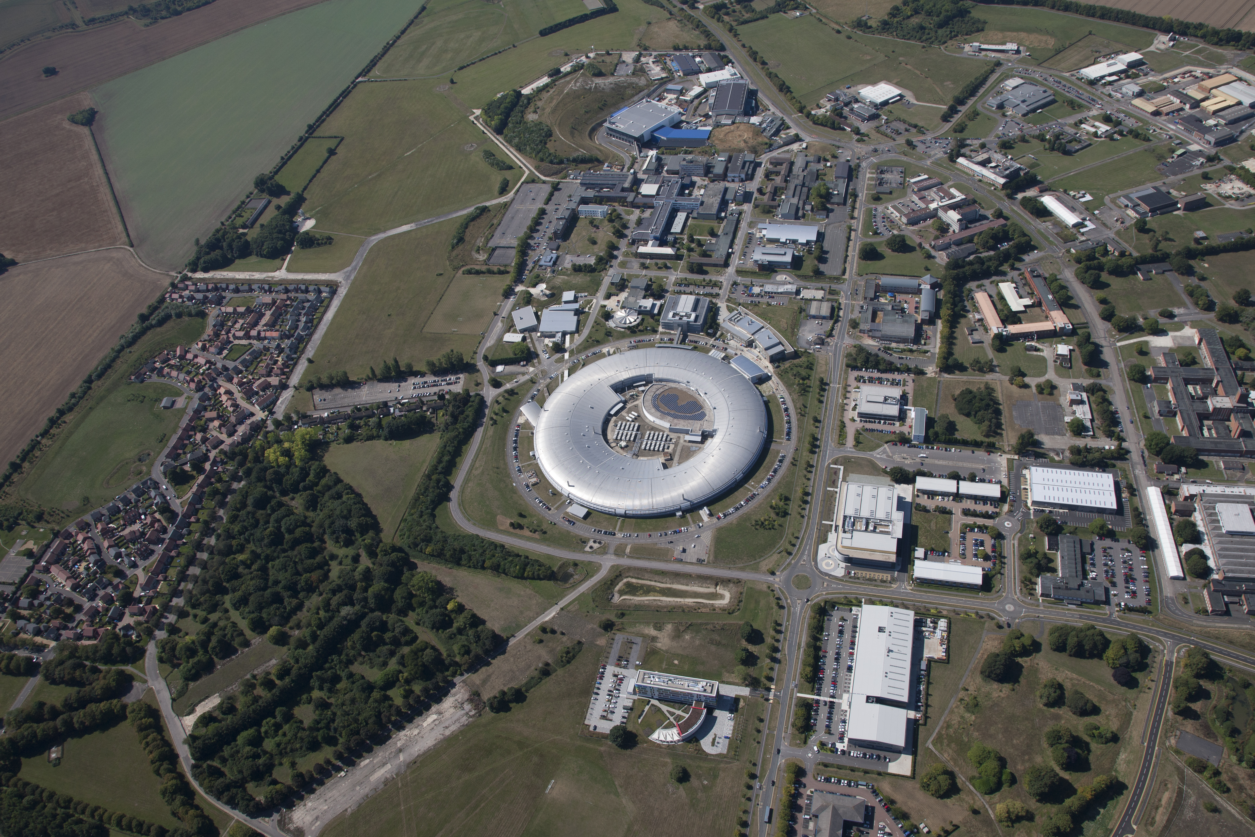
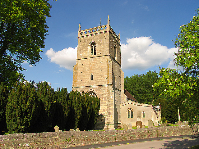
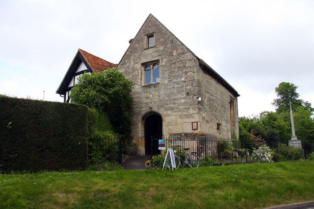
Aldfield Common Images

Images are sourced within 2km of 51.585827/-1.3264049 or Grid Reference SU4687. Thanks to Geograph Open Source API. All images are credited.

Stileway Road Stileway Road (track) bridleway heading up towards Oldfield Farm
Stileway Road
Stileway Road (track) bridleway heading up towards Oldfield Farm
Stileway Road Stileway Road (track) bridleway heading up towards Oldfield Farm
Stileway Road
Stileway Road (track) bridleway heading up towards Oldfield Farm
Perimeter Bridleway Perimeter bridleway heading to Stileway Road
Perimeter Bridleway
Perimeter bridleway heading to Stileway Road
Restricted byway crossing the Icknield Way Restricted byway crossing the Icknield Way heading onto Hungerford Road (track)
Restricted byway crossing the Icknield Way
Restricted byway crossing the Icknield Way heading onto Hungerford Road (track)
Hungerford Road (track) Hungerford Road (track) restricted byway heading up to Horn Down
Hungerford Road (track)
Hungerford Road (track) restricted byway heading up to Horn Down
Icknield Way Icknield Way Restricted Byway heading towards the A34
Icknield Way
Icknield Way Restricted Byway heading towards the A34
The Winaway heading down to the Reading Road The Winaway passing the drive to Winnoway Farm heading down to the Reading Road where the spelling is Winnaway
The Winaway heading down to the Reading Road
The Winaway passing the drive to Winnoway Farm heading down to the Reading Road where the spelling is Winnaway
Icknield Greenway Icknield Greenway Restricted Byway heading to Ginge Brook
Icknield Greenway
Icknield Greenway Restricted Byway heading to Ginge Brook
Tree Lined Way Tree lined way (Designated traffic free cycle route) to East Ginge
Tree Lined Way
Tree lined way (Designated traffic free cycle route) to East Ginge
New Houses round a Pumping Station New houses looking out over a small green, with an ugly Thames Water compound in a prominent position.
New Houses round a Pumping Station
New houses looking out over a small green, with an ugly Thames Water compound in a prominent position.
New Houses in East Hendred New housing developments on greenfield sites are springing up on the edge of nearly every community round here.
New Houses in East Hendred
New housing developments on greenfield sites are springing up on the edge of nearly every community round here.
An endangered species? This week, we've heard of the £20 pint <span class="nowrap"><a title="https://www.itv.com/news/2022-09-05/are-we-about-to-see-the-price-of-a-pint-hit-20" rel="nofollow ugc noopener" href="https://www.itv.com/news/2022-09-05/are-we-about-to-see-the-price-of-a-pint-hit-20">Link</a><img style="margin-left:2px;" alt="External link" title="External link - shift click to open in new window" src="https://s1.geograph.org.uk/img/external.png" width="10" height="10"/></span> Surely that will mean the end for the noble British pub, like this one at East Hendred
An endangered species?
This week, we've heard of the £20 pint LinkExternal link Surely that will mean the end for the noble British pub, like this one at East Hendred
St Augustine's of Canterbury, East Hendred: early September 2022
Ludbridge Close, East Hendred More or less every town and village around here has expanded considerably in recent years.
A new road in East Hendred named after Lud Bridge which is not far away where the main road goes over the East Hendred Brook.
Ludbridge Close, East Hendred
More or less every town and village around here has expanded considerably in recent years. A new road in East Hendred named after Lud Bridge which is not far away where the main road goes over the East Hendred Brook.
Communications antenna by Reading Road, Rowstock Here is my previous visit. <a title="https://www.geograph.org.uk/photo/6309457" href="https://www.geograph.org.uk/photo/6309457">Link</a>
Communications antenna by Reading Road, Rowstock
Here is my previous visit. Link
Houses on Reading Road, Rowstock
Nissan Rowstock on Abingdon Road
Harwell Field SW Taken from the extreme NE corner of the square on the 'byway' looking towards Harwell Atomic research Establishment and the Ridgeway beyond.
Harwell Field SW
Taken from the extreme NE corner of the square on the 'byway' looking towards Harwell Atomic research Establishment and the Ridgeway beyond.
Show me another place!

Aldfield Common is located at Grid Ref: SU4687 (Lat: 51.585827, Lng: -1.3264049)

Administrative County: Oxfordshire

District: Vale of White Horse

Police Authority: Thames Valley

What 3 Words

///revamped.faster.former. Near Harwell, Oxfordshire

Related Wikis

Mammalian Genetics Unit

The Mammalian Genetics Unit was a genetics and genomics research institute in Oxfordshire. == History == Earlier research on the same site at the Radiobiology...

Holy Trinity Monastery, East Hendred

Holy Trinity Monastery, East Hendred was briefly a convent of contemplative Benedictine nuns situated in the Vale of White Horse, Oxfordshire, from 2004...

Harwell Science and Innovation Campus

The Harwell Science and Innovation Campus is a 700-acre science and technology campus in Oxfordshire, England. Over 6,000 people work there in over 240...

East Hendred

East Hendred is a village and civil parish about 4 miles (6.4 km) east of Wantage in the Vale of White Horse and a similar distance west of Didcot. The...

Harwell Synchrocyclotron

The Harwell Synchrocyclotron was a particle accelerator based at the Atomic Energy Research Establishment campus near Harwell, Oxfordshire. Construction...

ZETA (fusion reactor)

ZETA, short for Zero Energy Thermonuclear Assembly, was a major experiment in the early history of fusion power research. Based on the pinch plasma confinement...

Atlas Computer Laboratory

The Atlas Computer Laboratory on the Harwell, Oxfordshire campus shared by the Harwell Laboratory was one of the major computer laboratories in the world...

Champs Chapel Museum of East Hendred

The Champs Chapel Museum of East Hendred is a local village museum housed in the former Chapel of Jesus of Bethlehem, built in 1453 by Carthusian monks...

Nearby Amenities

Located within 500m of 51.585827,-1.3264049
Power: tower
Lat/Long: 51.5869466/-1.319578
Power: pole
Source: Bing
Lat/Long: 51.58627/-1.3292595
Power: pole
Source: Bing
Lat/Long: 51.5857357/-1.3270532
Power: pole
Source: Bing
Lat/Long: 51.5866915/-1.322289
Power: pole
Source: Bing
Lat/Long: 51.5862965/-1.3223775
Power: pole
Source: Bing
Lat/Long: 51.584746/-1.3229661
Power: pole
Source: Bing
Lat/Long: 51.5851914/-1.3248052
Power: pole
Source: Bing
Lat/Long: 51.5850606/-1.322745
Power: pole
Source: Bing
Lat/Long: 51.585885/-1.3224795
Power: pole
Source: Bing
Lat/Long: 51.5854635/-1.3259289
Power: pole
Source: Bing
Lat/Long: 51.5849233/-1.3236983
Power: pole
Source: Bing
Lat/Long: 51.5860031/-1.3281574
The data included in this document is from www.openstreetmap.org. The data is made available under ODbL.

Have you been to Aldfield Common?

Leave your review of Aldfield Common below (or comments, questions and feedback).