Icknield Plantation
Wood, Forest in Berkshire Vale of White Horse
England
Icknield Plantation
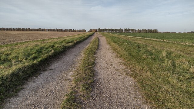
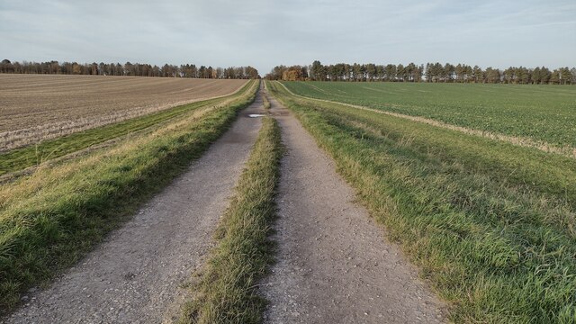
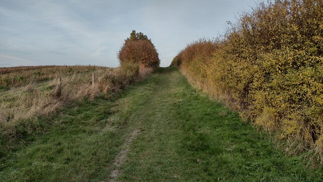
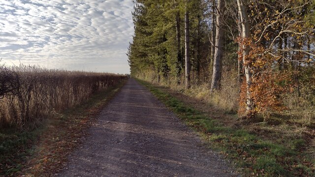
Icknield Plantation is a picturesque woodland located in Berkshire, England. Situated in the southern part of the county, it covers an area of approximately 300 acres. The plantation is part of the larger Icknield Forest, which spans across parts of Berkshire, Buckinghamshire, and Oxfordshire.
The woodland is characterized by a diverse range of tree species, including oak, beech, birch, and pine. The dense canopy provides shelter and habitat for a variety of wildlife, making it a popular spot for nature enthusiasts and birdwatchers. The forest floor is covered in a carpet of bluebells during the spring months, adding to its natural beauty.
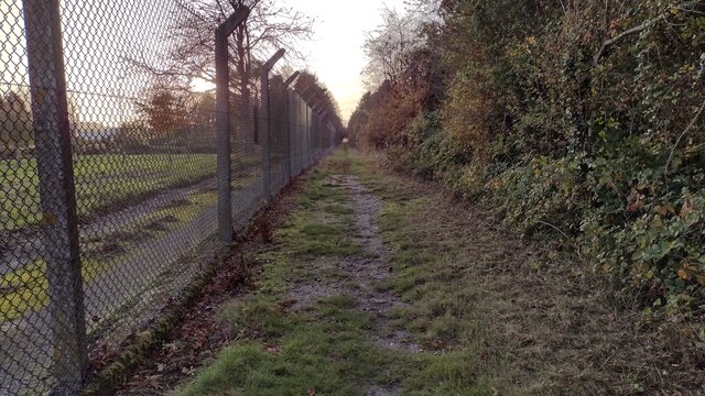
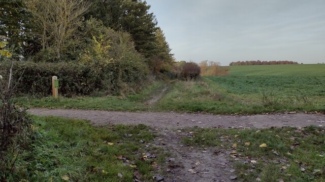
Icknield Plantation offers several walking trails and paths, allowing visitors to explore the area at their own pace. The well-maintained paths meander through the woodland, providing opportunities to spot wildlife and enjoy the peaceful surroundings. There are also designated picnic areas, which offer a perfect spot to relax and take in the tranquil atmosphere.
The plantation is managed by the local forestry commission, ensuring the preservation of its natural environment. The commission also carries out regular maintenance work, such as tree thinning and path clearance, to enhance the visitor experience and promote biodiversity.
Overall, Icknield Plantation in Berkshire is a stunning woodland that offers a tranquil escape from the hustle and bustle of everyday life. With its diverse flora and fauna, well-maintained paths, and beautiful scenery, it is an ideal destination for nature lovers and those seeking a peaceful retreat.
If you have any feedback on the listing, please let us know in the comments section below.
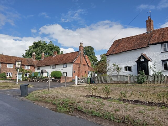
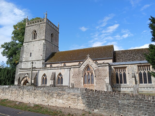
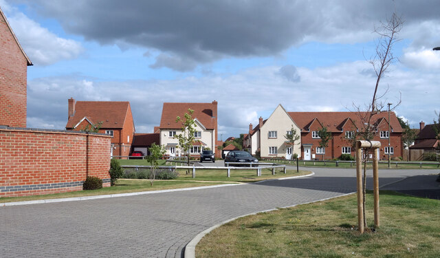
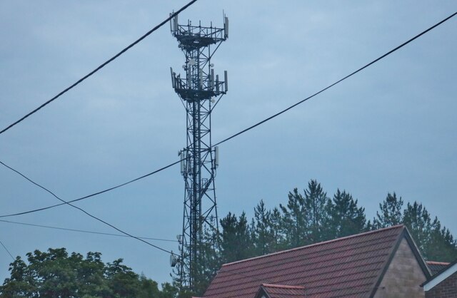
Icknield Plantation Images
Images are sourced within 2km of 51.58661/-1.3313729 or Grid Reference SU4687. Thanks to Geograph Open Source API. All images are credited.


Icknield Plantation is located at Grid Ref: SU4687 (Lat: 51.58661, Lng: -1.3313729)
Administrative County: Oxfordshire
District: Vale of White Horse
Police Authority: Thames Valley
What 3 Words
///messing.shielding.orbit. Near Harwell, Oxfordshire
Nearby Locations
Related Wikis

Holy Trinity Monastery, East Hendred
Holy Trinity Monastery, East Hendred was briefly a convent of contemplative Benedictine nuns situated in the Vale of White Horse, Oxfordshire, from 2004...
Mammalian Genetics Unit
The Mammalian Genetics Unit was a genetics and genomics research institute in Oxfordshire. == History == Earlier research on the same site at the Radiobiology...
East Hendred
East Hendred is a village and civil parish about 4 miles (6.4 km) east of Wantage in the Vale of White Horse and a similar distance west of Didcot. The...
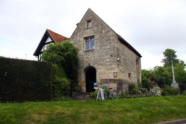
Champs Chapel Museum of East Hendred
The Champs Chapel Museum of East Hendred is a local village museum housed in the former Chapel of Jesus of Bethlehem, built in 1453 by Carthusian monks...
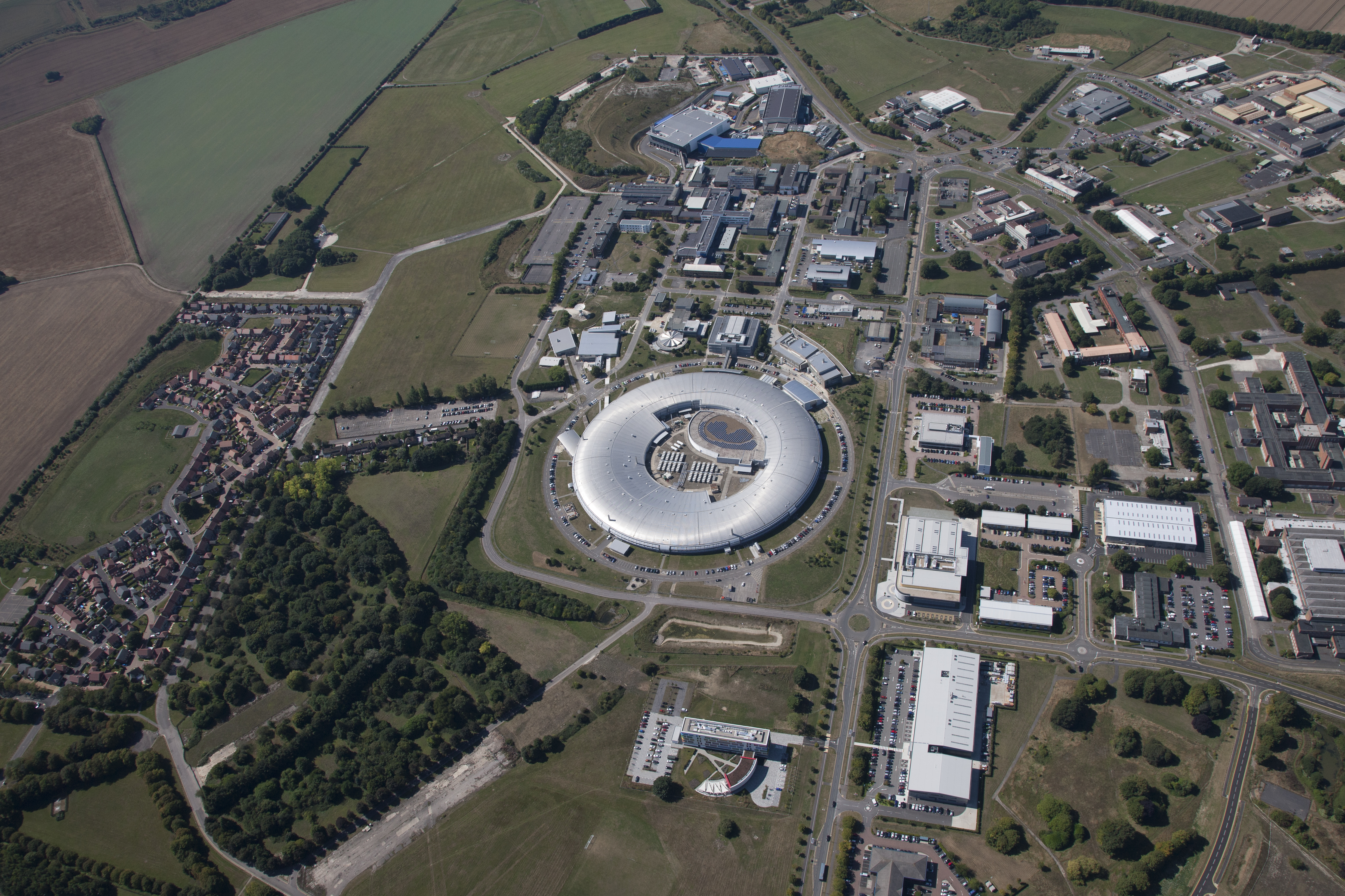
Harwell Science and Innovation Campus
The Harwell Science and Innovation Campus is a 700-acre science and technology campus in Oxfordshire, England. Over 6,000 people work there in over 240...

Atlas Computer Laboratory
The Atlas Computer Laboratory on the Harwell, Oxfordshire campus shared by the Harwell Laboratory was one of the major computer laboratories in the world...
Harwell Synchrocyclotron
The Harwell Synchrocyclotron was a particle accelerator based at the Atomic Energy Research Establishment campus near Harwell, Oxfordshire. Construction...

ZETA (fusion reactor)
ZETA, short for Zero Energy Thermonuclear Assembly, was a major experiment in the early history of fusion power research. Based on the pinch plasma confinement...
Related Videos

#SHTF Dry Run Prepping S15E03 Lighting a Fire in a Wet Forest
Lighting a fire with available materials in a wet forest may seem hard enough, but we decided to try a method other than butane ...

Vanlife Prepping for #SHTF Bug Out S15E01 Buck Rogers Intro
The last three years have been a great awakening to those who have never thought about prepping before, and there is a ...
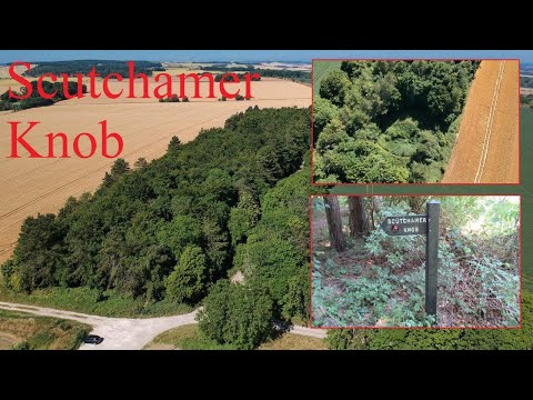
Scutchamer Knob and the Ridgeway
Sunday 10th July 2022. Scutchamer Knob, also known as Cuckhamsley Hill and occasionally as Scotsman's Knob or Beacon Hill, ...
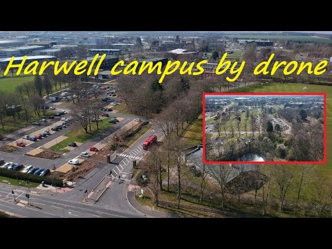
Harwell campus by drone . From the fields and not over.
Thursday 24th March 2022. Photos at 2:15 until the end. Originally founded in 1946 to tackle the energy crisis and advance ...
Nearby Amenities
Located within 500m of 51.58661,-1.3313729Have you been to Icknield Plantation?
Leave your review of Icknield Plantation below (or comments, questions and feedback).