Picked Common Row
Wood, Forest in Berkshire Vale of White Horse
England
Picked Common Row
Picked Common Row is a small village located in Berkshire, England. It is situated within a picturesque woodland area known for its natural beauty and serene atmosphere. The village is surrounded by dense forests, making it an ideal destination for nature enthusiasts and those seeking a peaceful retreat.
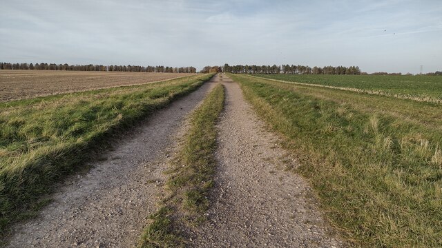
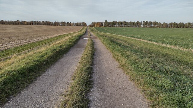
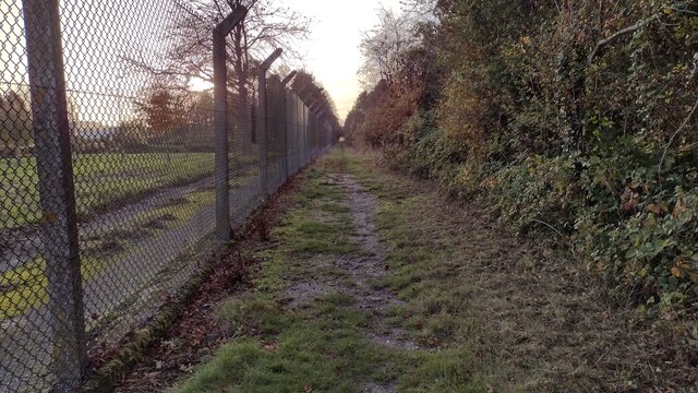
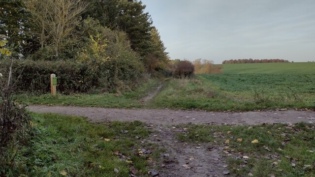
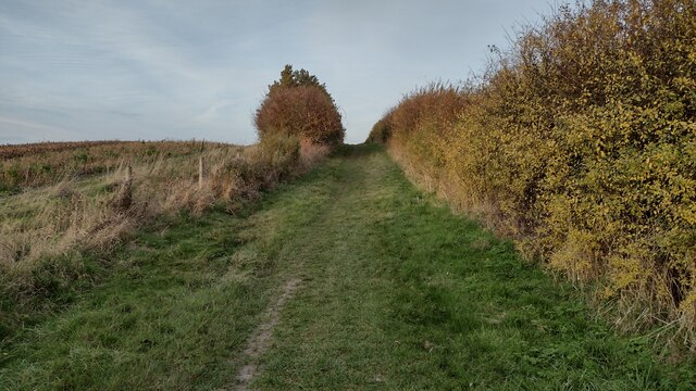
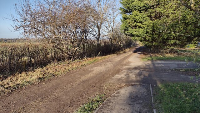
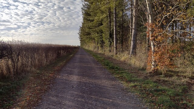
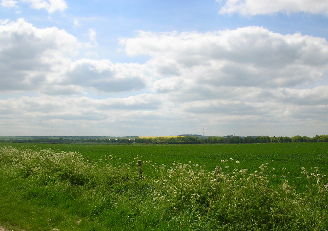
The woodlands of Picked Common Row are abundant with various species of trees, including oak, beech, and pine. These towering trees provide a lush canopy, creating a shady and tranquil environment. The forest floor is covered with a carpet of moss and wildflowers, adding to the area's charm.
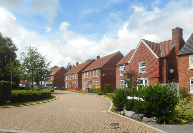
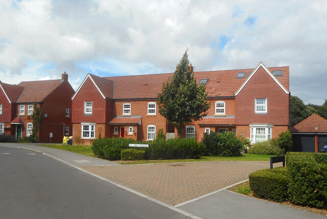
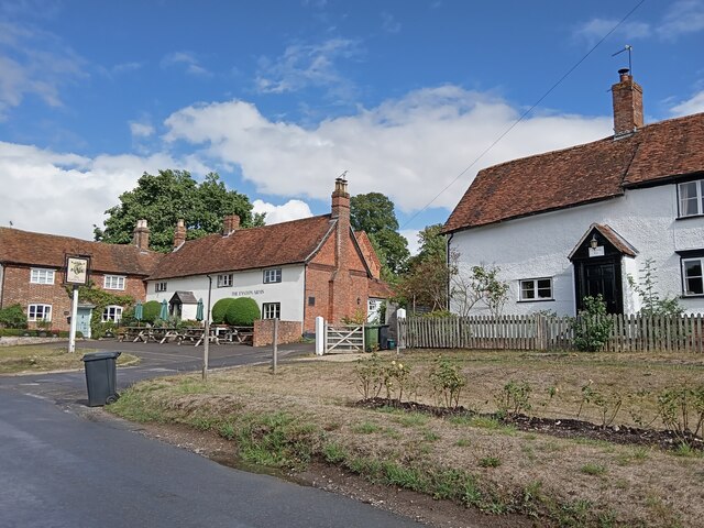
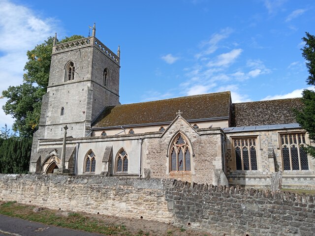
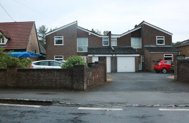
The village itself is small and charming, with a handful of traditional cottages and houses. Picked Common Row is known for its tight-knit community, where residents often come together for local events and gatherings. The village also has a small church, adding to its historical and cultural significance.
In terms of activities, Picked Common Row offers a range of opportunities for outdoor exploration. The surrounding forest provides ample space for hiking, walking, and cycling. There are also several trails that wind through the woodlands, offering stunning views of the surrounding countryside.
Overall, Picked Common Row in Berkshire is a hidden gem for nature lovers and those seeking a peaceful escape. With its beautiful woodlands, charming village, and range of outdoor activities, it is a destination that offers both tranquility and natural beauty.
If you have any feedback on the listing, please let us know in the comments section below.
Picked Common Row Images
Images are sourced within 2km of 51.58402/-1.3249306 or Grid Reference SU4687. Thanks to Geograph Open Source API. All images are credited.


Picked Common Row is located at Grid Ref: SU4687 (Lat: 51.58402, Lng: -1.3249306)
Administrative County: Oxfordshire
District: Vale of White Horse
Police Authority: Thames Valley
What 3 Words
///engraving.eaten.universe. Near Harwell, Oxfordshire
Nearby Locations
Related Wikis

Mammalian Genetics Unit
The Mammalian Genetics Unit was a genetics and genomics research institute in Oxfordshire. == History == Earlier research on the same site at the Radiobiology...
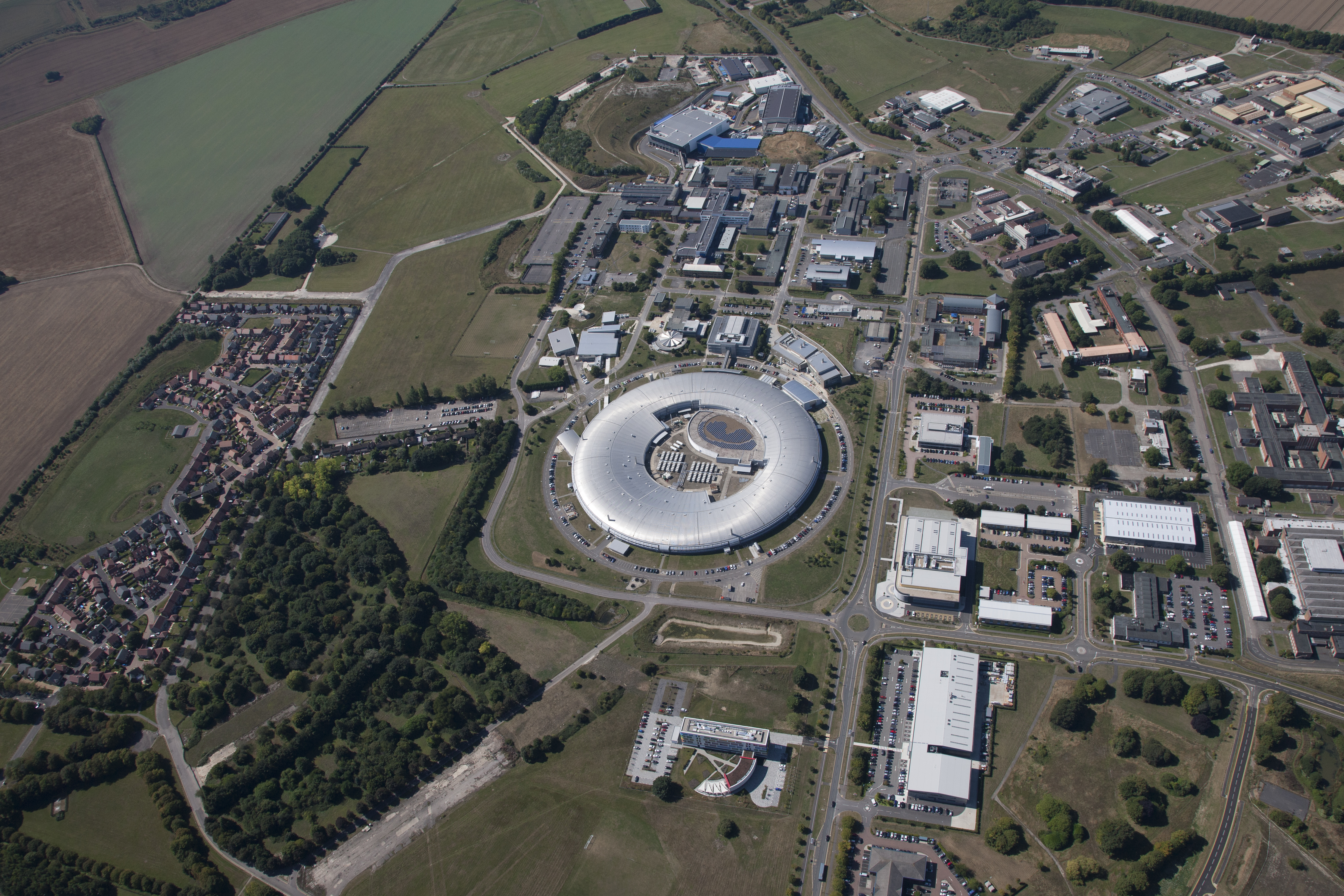
Harwell Science and Innovation Campus
The Harwell Science and Innovation Campus is a 700-acre science and technology campus in Oxfordshire, England. Over 6,000 people work there in over 240...

Atlas Computer Laboratory
The Atlas Computer Laboratory on the Harwell, Oxfordshire campus shared by the Harwell Laboratory was one of the major computer laboratories in the world...
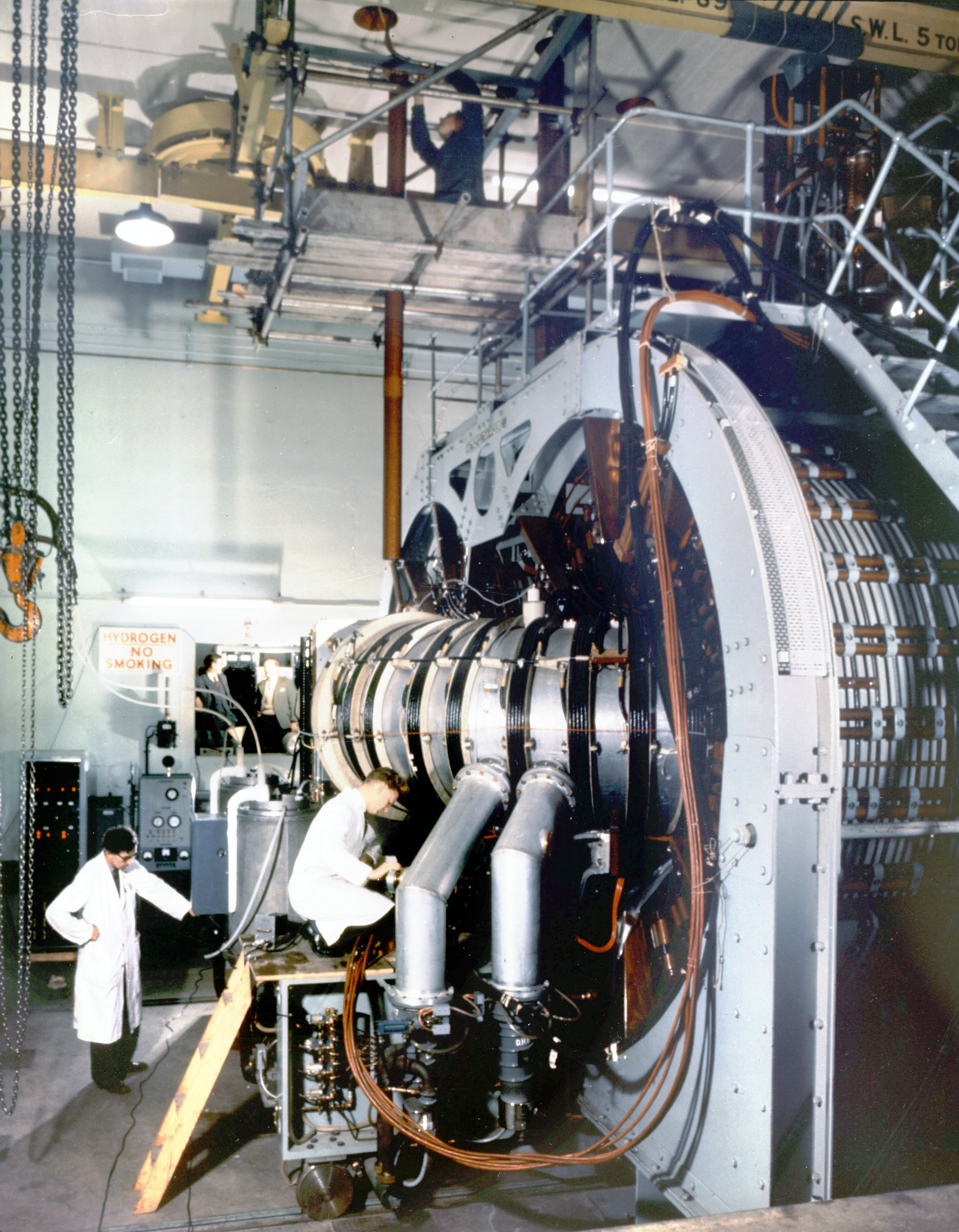
Harwell Synchrocyclotron
The Harwell Synchrocyclotron was a particle accelerator based at the Atomic Energy Research Establishment campus near Harwell, Oxfordshire. Construction...
ZETA (fusion reactor)
ZETA, short for Zero Energy Thermonuclear Assembly, was a major experiment in the early history of fusion power research. Based on the pinch plasma confinement...
Holy Trinity Monastery, East Hendred
Holy Trinity Monastery, East Hendred was briefly a convent of contemplative Benedictine nuns situated in the Vale of White Horse, Oxfordshire, from 2004...
The Faraday Institution
The Faraday Institution is a British research institute aiming to advance battery science and technology. It was established in 2017 as part of the UK...

RAF Harwell
Royal Air Force Harwell or more simply RAF Harwell is a former Royal Air Force station, near the village of Harwell, located 4.8 miles (7.7 km) south east...
Nearby Amenities
Located within 500m of 51.58402,-1.3249306Have you been to Picked Common Row?
Leave your review of Picked Common Row below (or comments, questions and feedback).