East Hendred
Civil Parish in Berkshire Vale of White Horse
England
East Hendred
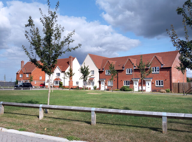
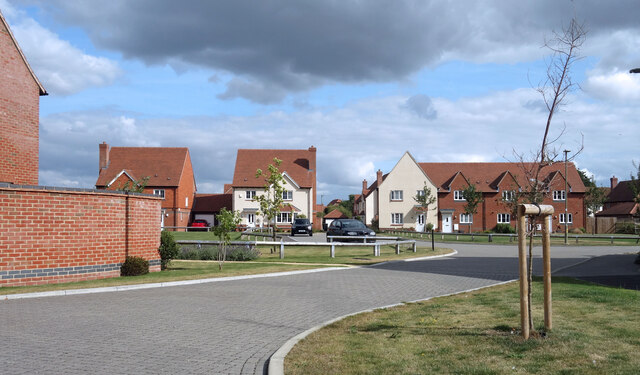
East Hendred is a civil parish located in the county of Berkshire, England. Situated approximately four miles east of Wantage and nine miles south of Oxford, it is nestled in the picturesque countryside of the Berkshire Downs. The parish covers an area of around 1,200 acres and is home to a population of approximately 1,500 residents.
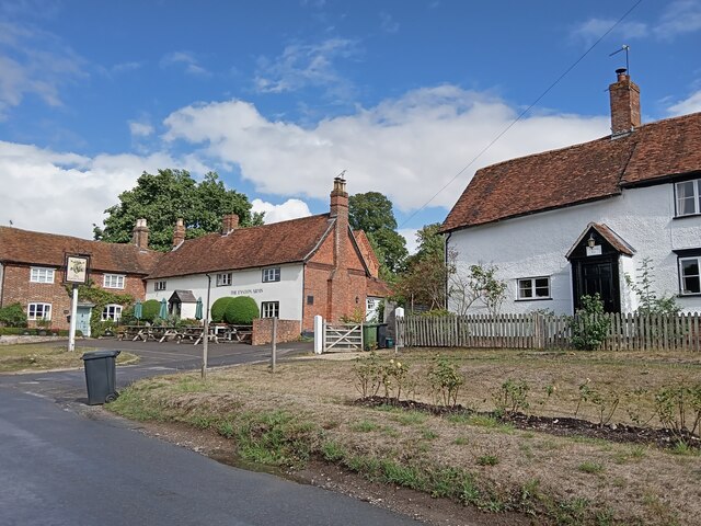
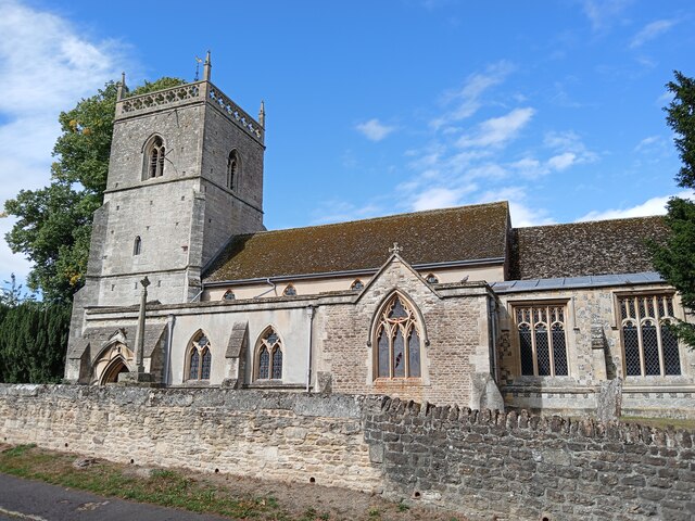
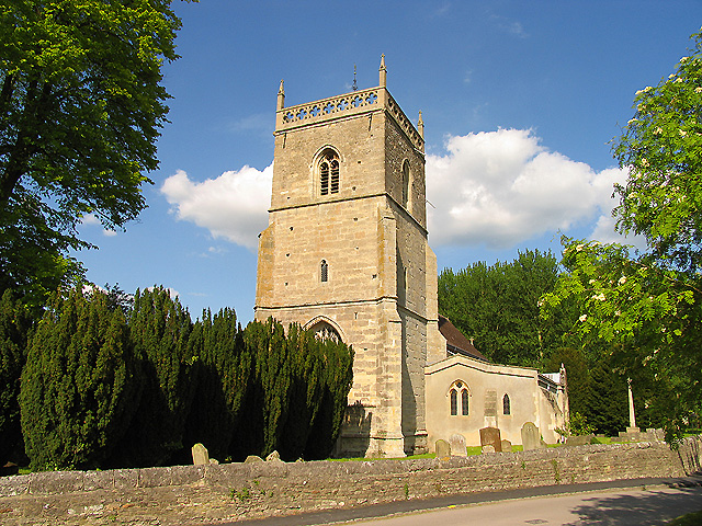
With its origins dating back to Saxon times, East Hendred has a rich history that is evident in its architecture and landmarks. The village is known for its charming thatched cottages, historic buildings, and a beautiful 13th-century church, St. Augustine's, which dominates the village center.
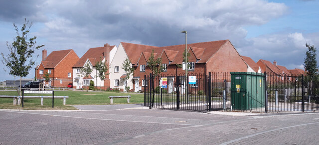
The community of East Hendred is closely-knit, with a strong sense of community spirit. It boasts a range of amenities and facilities to cater to the needs of its residents. These include a primary school, a village hall, a post office, a convenience store, and a pub. The village also has a cricket club and a football club, providing recreational opportunities for sports enthusiasts.
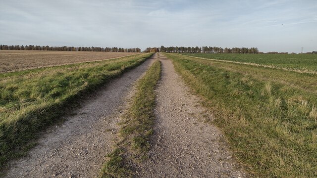
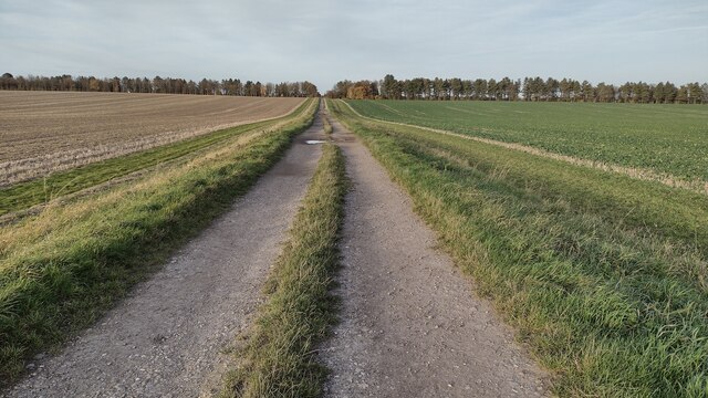
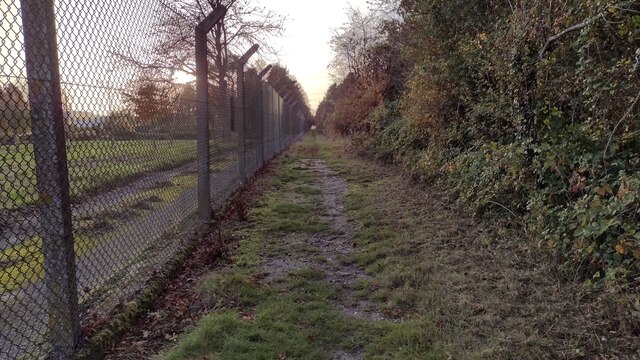
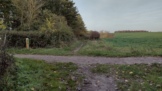
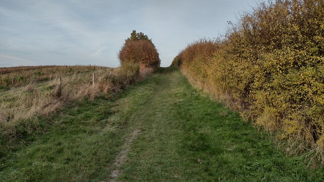
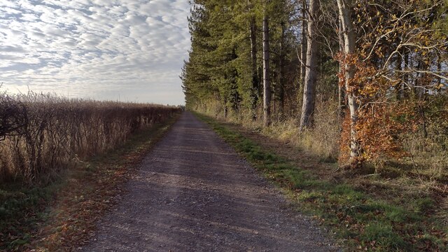
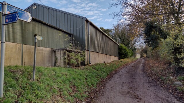
Surrounded by rolling hills, East Hendred offers ample opportunities for outdoor activities and exploration. The area is crisscrossed with footpaths and bridleways, making it popular among walkers, cyclists, and horse riders. The nearby Berkshire Downs and the Ridgeway National Trail provide stunning vistas and a chance to immerse oneself in nature.
In summary, East Hendred is a charming and historic civil parish in Berkshire, known for its beautiful countryside, historic buildings, and strong community spirit.
If you have any feedback on the listing, please let us know in the comments section below.
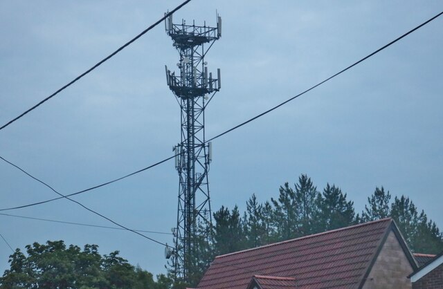
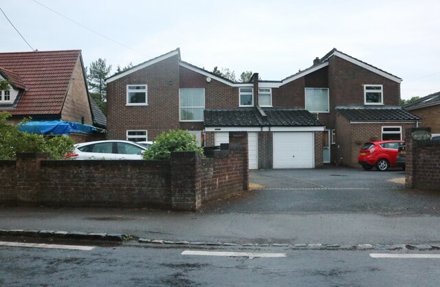
East Hendred Images
Images are sourced within 2km of 51.585645/-1.333223 or Grid Reference SU4687. Thanks to Geograph Open Source API. All images are credited.


East Hendred is located at Grid Ref: SU4687 (Lat: 51.585645, Lng: -1.333223)
Administrative County: Oxfordshire
District: Vale of White Horse
Police Authority: Thames Valley
What 3 Words
///steers.truffles.hinted. Near Harwell, Oxfordshire
Nearby Locations
Related Wikis

Holy Trinity Monastery, East Hendred
Holy Trinity Monastery, East Hendred was briefly a convent of contemplative Benedictine nuns situated in the Vale of White Horse, Oxfordshire, from 2004...
Mammalian Genetics Unit
The Mammalian Genetics Unit was a genetics and genomics research institute in Oxfordshire. == History == Earlier research on the same site at the Radiobiology...
East Hendred
East Hendred is a village and civil parish about 4 miles (6.4 km) east of Wantage in the Vale of White Horse and a similar distance west of Didcot. The...
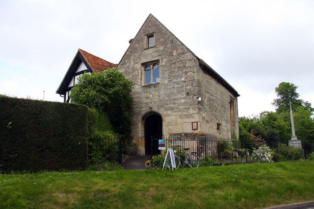
Champs Chapel Museum of East Hendred
The Champs Chapel Museum of East Hendred is a local village museum housed in the former Chapel of Jesus of Bethlehem, built in 1453 by Carthusian monks...

Atlas Computer Laboratory
The Atlas Computer Laboratory on the Harwell, Oxfordshire campus shared by the Harwell Laboratory was one of the major computer laboratories in the world...
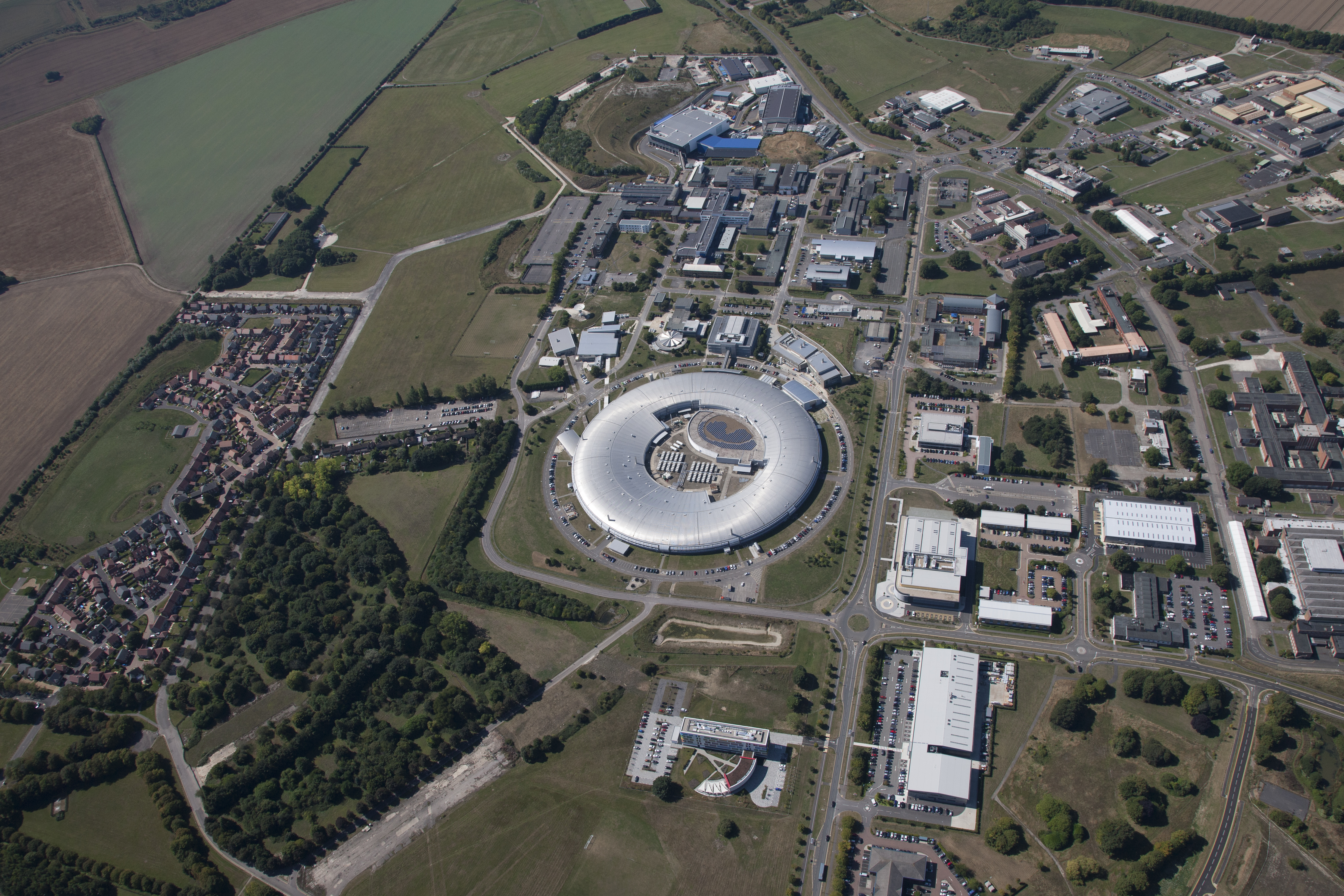
Harwell Science and Innovation Campus
The Harwell Science and Innovation Campus is a 700-acre science and technology campus in Oxfordshire, England. Over 6,000 people work there in over 240...
KARMEN
KARMEN (KArlsruhe Rutherford Medium Energy Neutrino experiment), a detector associated with the ISIS synchrotron at the Rutherford Appleton Laboratory...
ENGIN-X
ENGIN-X is the dedicated materials engineering beamline at the ISIS Neutron and Muon Source in the UK. The beamline uses neutron diffraction to determine...
Related Videos

#SHTF Dry Run Prepping S15E03 Lighting a Fire in a Wet Forest
Lighting a fire with available materials in a wet forest may seem hard enough, but we decided to try a method other than butane ...

Vanlife Prepping for #SHTF Bug Out S15E01 Buck Rogers Intro
The last three years have been a great awakening to those who have never thought about prepping before, and there is a ...
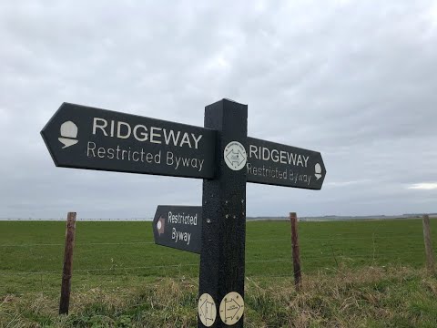
Trail running on the Ridgeway National Trail - Doorstep Adventure Episode 3 "An Unplanned Adventure"
Trail running on the Ridgeway National Trail Doorstep Adventure Episode 3 "An Unplanned Adventure" In Episode 3 of Doorstep ...
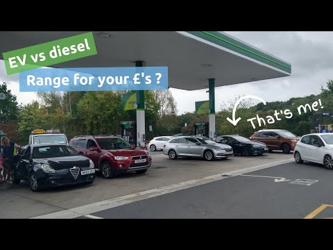
UK energy prices - diesel vs electric - What's the range for your money?
After buying some diesel today (on 5th September 2022), I did some maths to compare how far the £28 of diesel gets you in a ...
Nearby Amenities
Located within 500m of 51.585645,-1.333223Have you been to East Hendred?
Leave your review of East Hendred below (or comments, questions and feedback).