East Hoathly with Halland

Civil Parish in Sussex Wealden

England

East Hoathly with Halland

The church without dedication, East Hoathly
The church without dedication, East Hoathly Credit: Stephen Dawson

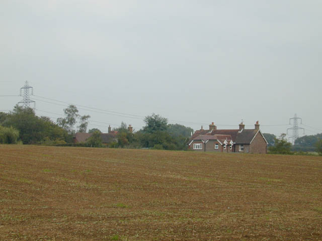
East Hoathly with Halland is a civil parish located in the county of Sussex, England. It is situated approximately 40 miles south of London and covers an area of around 1,500 hectares. The civil parish consists of two main villages, East Hoathly and Halland, along with several smaller hamlets and rural areas.

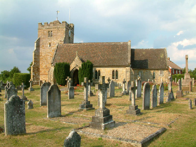
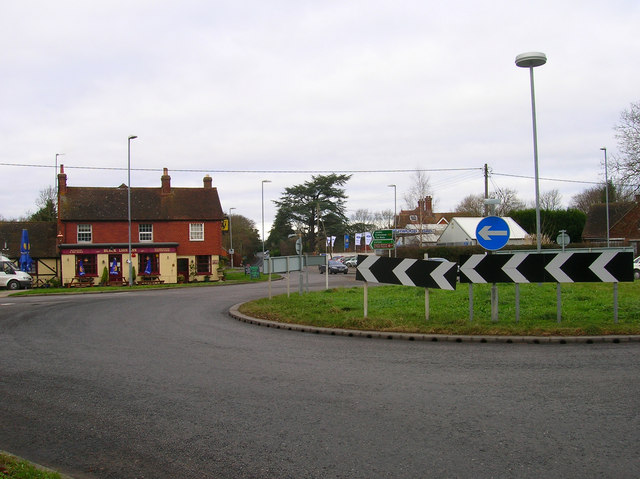
East Hoathly is the larger of the two villages and serves as the administrative center for the civil parish. It is a quintessential English village with a picturesque High Street lined with traditional cottages, a village green, and a medieval church. The village has a strong sense of community and is home to a range of amenities, including a primary school, a village hall, a post office, and several pubs and shops.

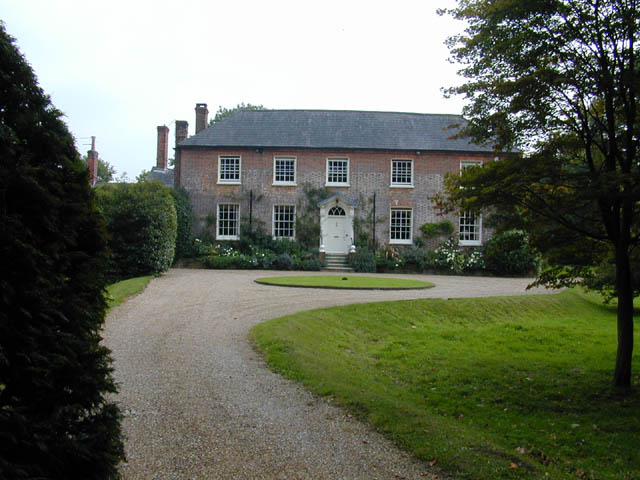
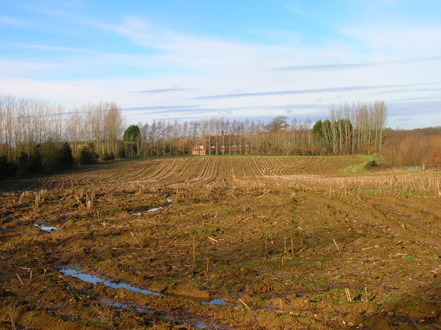
Halland, the smaller village within the civil parish, is located to the south-east of East Hoathly. It is known for its beautiful countryside and is surrounded by rolling hills and farmland. The village is primarily residential, with a mix of traditional and modern houses. There is a small garden center and a pub in Halland, providing some local amenities for residents.

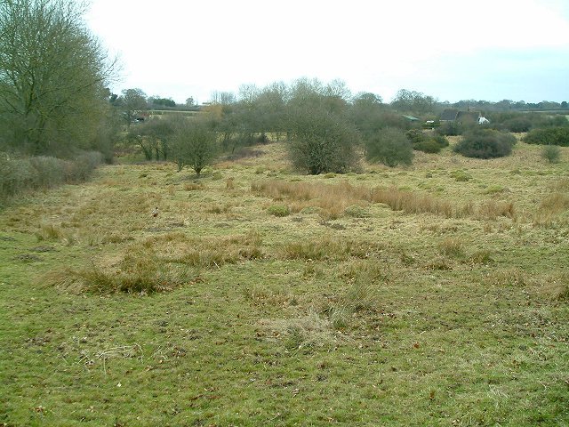
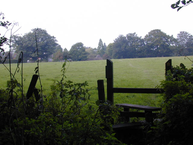
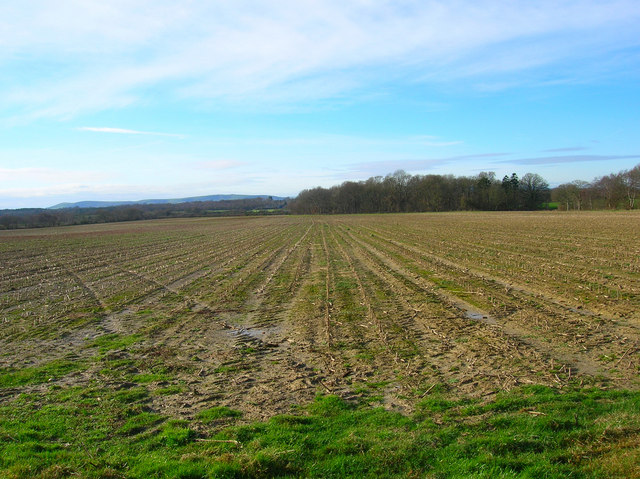
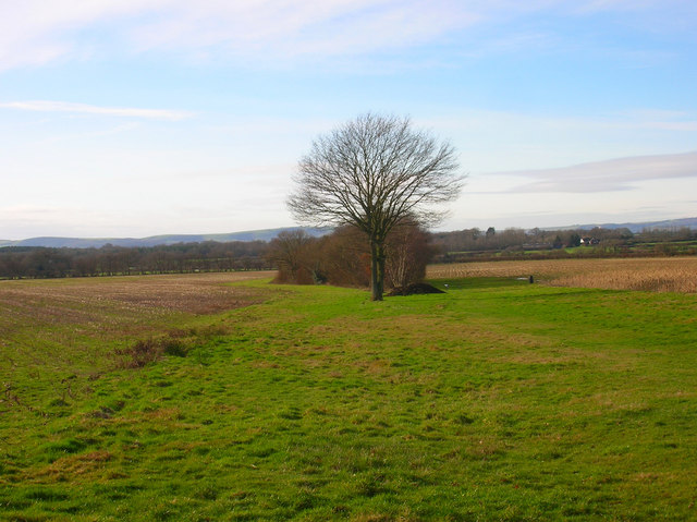
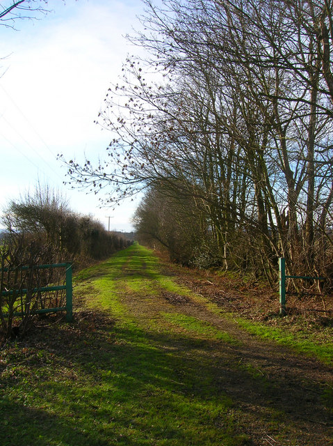
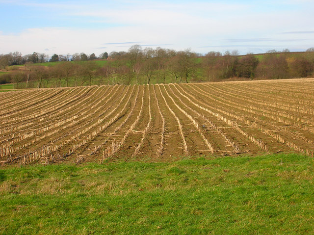
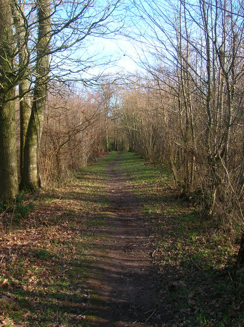
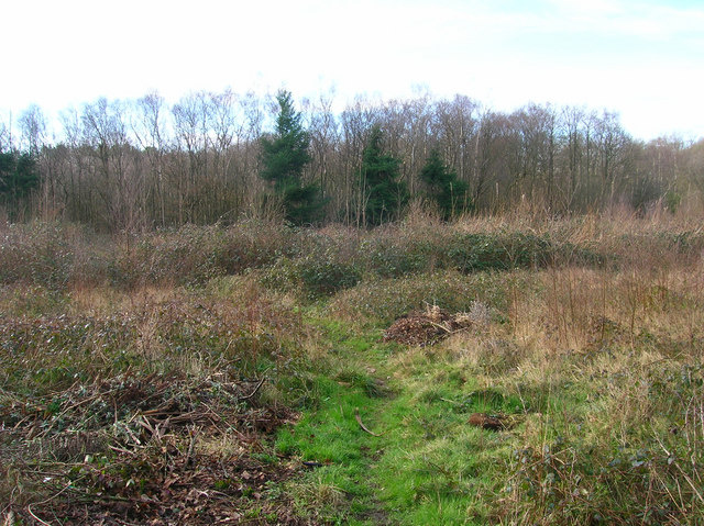
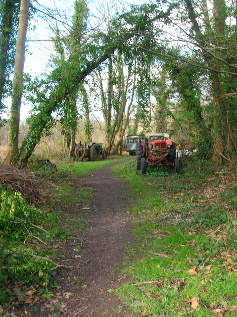
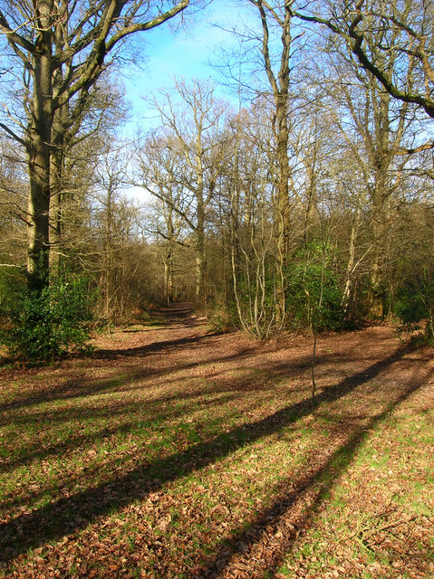
The civil parish of East Hoathly with Halland is known for its rural charm and natural beauty. It offers a peaceful and idyllic setting for residents and visitors alike, with opportunities for countryside walks, outdoor activities, and exploration of the surrounding area. The parish is well-connected to nearby towns and cities, making it an attractive place to live for those seeking a balance between rural living and easy access to urban amenities.

If you have any feedback on the listing, please let us know in the comments section below.

East Hoathly with Halland Images

Images are sourced within 2km of 50.929913/0.154929 or Grid Reference TQ5116. Thanks to Geograph Open Source API. All images are credited.

The church without dedication, East Hoathly
Meadow at Easons Green This regularly grazed ancient meadow is typical of lowland unimproved grassland, with anthills and a diverse flora in the summer.
Meadow at Easons Green
This regularly grazed ancient meadow is typical of lowland unimproved grassland, with anthills and a diverse flora in the summer.
Footpath from East Hoathly to Old Whyly This photo was taken on the Thomas Turner walk, which is a series of footpaths around East Hoathly. The roof of Old Whyly can be seen in the distance.
Footpath from East Hoathly to Old Whyly
This photo was taken on the Thomas Turner walk, which is a series of footpaths around East Hoathly. The roof of Old Whyly can be seen in the distance.
Old Whyly Old Whyly is a 17th Century manor house. It is mentioned numerous times in The Diary of Thomas Turner 1754-1765, in East Hoathly. Thomas Turner frequently visited Jeremiah French, the tenant farmer, at Whyly mostly for evenings playing cards and heavy drinking. He invariably returned home inebriated and on several occasions his wife had to be carried home on a gate!
Old Whyly
Old Whyly is a 17th Century manor house. It is mentioned numerous times in The Diary of Thomas Turner 1754-1765, in East Hoathly. Thomas Turner frequently visited Jeremiah French, the tenant farmer, at Whyly mostly for evenings playing cards and heavy drinking. He invariably returned home inebriated and on several occasions his wife had to be carried home on a gate!
Across the fields to Davis's Town This photograph was taken from the footpath forming part of the Thomas Turner walk near Great Wood, just outside the village of East Hoathly.
Across the fields to Davis's Town
This photograph was taken from the footpath forming part of the Thomas Turner walk near Great Wood, just outside the village of East Hoathly.
Mile marker East Hoathly 48 Miles to Bow Bells
Mile marker East Hoathly
48 Miles to Bow Bells
Black Lion Inn Old coaching inn on the A22/B2192 crossroads. The road to Uckfield is straight ahead that to Lewes is to the left.
Black Lion Inn
Old coaching inn on the A22/B2192 crossroads. The road to Uckfield is straight ahead that to Lewes is to the left.
Looking Towards Bog Shaw Taken from the footpath that links Halland with Rowlands Wood. The South Downs can be seen in the background.
Looking Towards Bog Shaw
Taken from the footpath that links Halland with Rowlands Wood. The South Downs can be seen in the background.
Footpath to Shortgate Taken from its junction with the Halland-Rowlands Wood footpath.
Footpath to Shortgate
Taken from its junction with the Halland-Rowlands Wood footpath.
Footpath to Laughton Park Farm The footpath follows an old lane between two field boundaries on its way to Halland Park Farm.
Footpath to Laughton Park Farm
The footpath follows an old lane between two field boundaries on its way to Halland Park Farm.
Field of Stalks near Halland Park Farm Looking back towards Halland, the trees to the right hide the pond in the next grid square. The building on the hill is Hartfield Farm.
Field of Stalks near Halland Park Farm
Looking back towards Halland, the trees to the right hide the pond in the next grid square. The building on the hill is Hartfield Farm.
Moat, Moat Wood The remnants of an medieval settlement possibly a farmstead or a hunting lodge. The island is to the right of the water. Moat Wood is joint owned by East Hoathly parish council and the Woodland Trust.
Moat, Moat Wood
The remnants of an medieval settlement possibly a farmstead or a hunting lodge. The island is to the right of the water. Moat Wood is joint owned by East Hoathly parish council and the Woodland Trust.
Footpath, Moat Wood Taken from the entrance near the A22. Moat Wood is owned jointly by East Hoathly parish council and the Woodland Trust. Its wildlife includes Black Adders and Nightingales.
Footpath, Moat Wood
Taken from the entrance near the A22. Moat Wood is owned jointly by East Hoathly parish council and the Woodland Trust. Its wildlife includes Black Adders and Nightingales.
Moat Wood This view is from the footpath near to the East Hoathly entrance.
Moat Wood
This view is from the footpath near to the East Hoathly entrance.
Tractor's Graveyard There are a couple more vehicles out of shot lining the footpath from East Hoathly into Moat Wood.
Tractor's Graveyard
There are a couple more vehicles out of shot lining the footpath from East Hoathly into Moat Wood.
Ploughed Field near Godfrey's Cottage The A22 is behind the bushes to the right of the picture.
Ploughed Field near Godfrey's Cottage
The A22 is behind the bushes to the right of the picture.
Moat Wood Jointly owned by East Hoathly parish council and the Woodland Trust and home to such wildlife as Black Adders and Nightingales. This part of the open access wood heads north westwards away from the moat.
Moat Wood
Jointly owned by East Hoathly parish council and the Woodland Trust and home to such wildlife as Black Adders and Nightingales. This part of the open access wood heads north westwards away from the moat.
Field near Tourle's Farm An outbuilding can be seen on the ridge to the right. Somewhere to the right a footpath leads up there but is overgrown and impassable.
Field near Tourle's Farm
An outbuilding can be seen on the ridge to the right. Somewhere to the right a footpath leads up there but is overgrown and impassable.
Show me another place!

East Hoathly with Halland is located at Grid Ref: TQ5116 (Lat: 50.929913, Lng: 0.154929)

Administrative County: East Sussex

District: Wealden

Police Authority: Sussex

What 3 Words

///listening.jaws.obstruct. Near Uckfield, East Sussex

Related Wikis

East Hoathly with Halland

East Hoathly with Halland is a civil parish in the Wealden District of East Sussex, England. The parish contains the two villages of East Hoathly and...

Park Corner Heath

Park Corner Heath is a 2.9-hectare (7.2-acre) biological Site of Special Scientific Interest about 1.2 miles (2 km) south of East Hoathly, adjacent to...

Bentley Wildfowl and Motor Museum

The Bentley Wildfowl and Motor Museum was a visitor attraction near Halland, East Sussex, England. As of October 2018, it is closed to the public. ��2...

Whitesmith maze

A plantation of willows near Whitesmith, East Sussex, in England forms a maze in the shape of a quotation from the Bible. The maze was planted by local...

Chiddingly

Chiddingly ( CHID-ing-lye) is an English village and civil parish in the Wealden District of the administrative county of East Sussex, within historic...

Laughton, East Sussex

Laughton is a village and civil parish in the Wealden district of East Sussex, England. The village is located five miles (8 km) east of Lewes, at a junction...

Framfield

Framfield is a village and civil parish in the Wealden District of East Sussex, England. The village is located two miles (3 km) east of Uckfield; the...

East Sussex National Golf Club

East Sussex National Golf Club is a golf course located near to Uckfield in East Sussex. It is considered one of the finer golf courses in the British...

Nearby Amenities

Located within 500m of 50.929913,0.154929
Post Box
Brand: Royal Mail
Brand Wikidata: Q638098
Brand Wikipedia: en:Royal Mail
Collection Times: Mo-Fr 09:00; Sa 07:00
Operator: Royal Mail
Operator Wikidata: Q638098
Post Box Type: lamp
Ref: BN8 532D
Royal Cypher: EIIR
Royal Cypher Wikidata: Q33102113
Lat/Long: 50.9280117/0.1577267
Annandale Farm
Place: farm
Source Name: OS_OpenData_Streetview
Lat/Long: 50.9318605/0.1561367
The data included in this document is from www.openstreetmap.org. The data is made available under ODbL.

Have you been to East Hoathly with Halland?

Leave your review of East Hoathly with Halland below (or comments, questions and feedback).