Holloway Plantation
Wood, Forest in Berkshire Vale of White Horse
England
Holloway Plantation
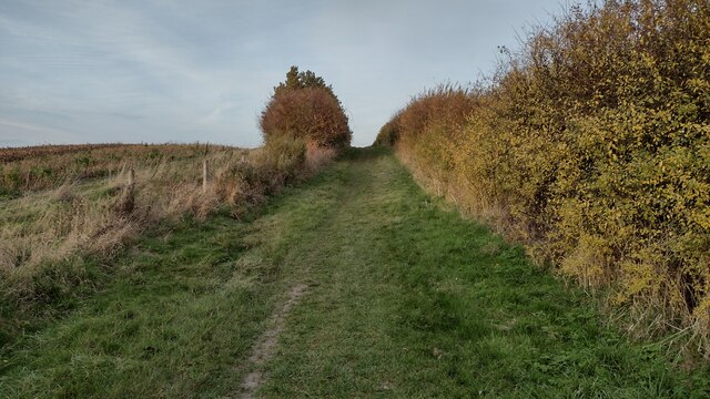
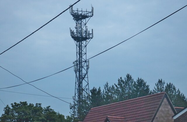
Holloway Plantation, located in Berkshire, England, is a sprawling woodland estate known for its picturesque natural beauty and rich history. Spread across several acres of lush greenery, the plantation is a haven for nature enthusiasts and history buffs alike.
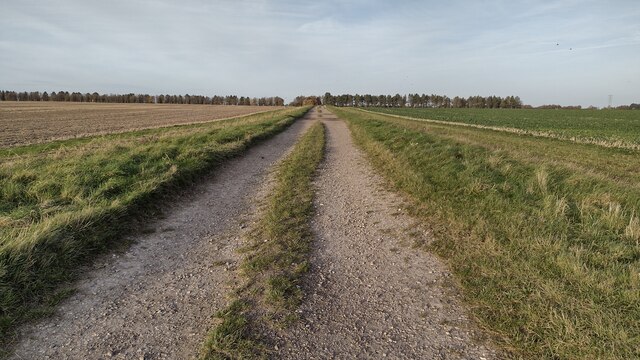
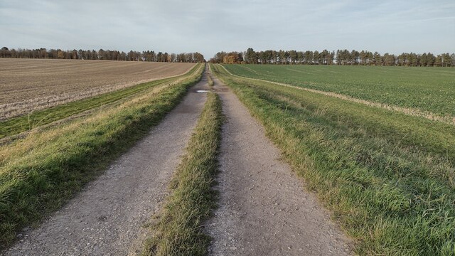
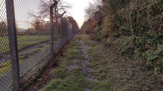
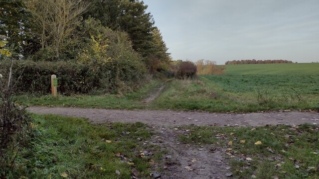
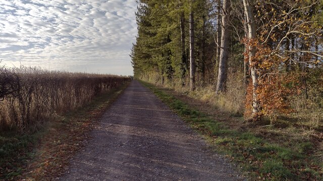
The woodland of Holloway Plantation is characterized by its dense forest cover, consisting primarily of deciduous trees such as oak, beech, and birch. The diverse flora and fauna found within the plantation make it a popular destination for hikers, birdwatchers, and wildlife photographers. Visitors can explore the well-maintained trails that wind through the woods, offering stunning views of the surrounding landscape and an opportunity to spot native wildlife such as deer, foxes, and various bird species.
Steeped in history, Holloway Plantation dates back to the 17th century when it was initially established as a hunting ground for the local nobility. Over the years, the estate has changed hands numerous times and has been shaped by the different owners who left their mark on its landscape. The remains of a historic manor house can still be found within the plantation, serving as a reminder of its grand past.
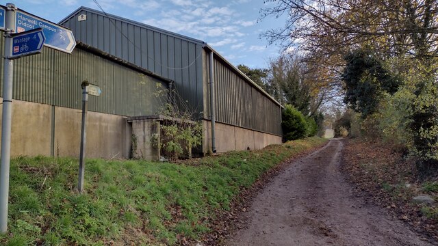
Today, Holloway Plantation offers a range of recreational activities, including guided tours, educational programs, and even occasional outdoor events such as concerts and festivals. The estate's tranquil atmosphere, combined with its natural charm and historical significance, make it a cherished destination for visitors seeking solace in nature and a glimpse into the past.
If you have any feedback on the listing, please let us know in the comments section below.
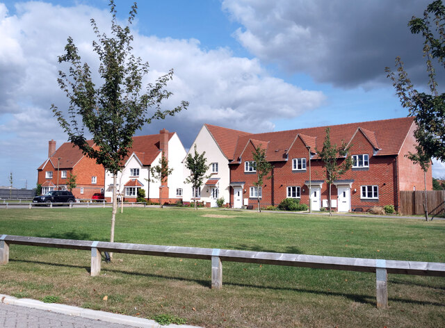
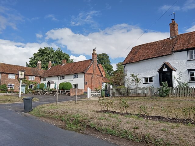
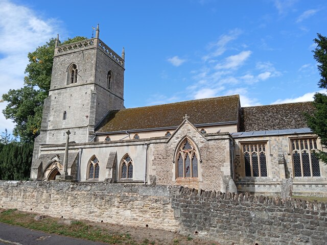
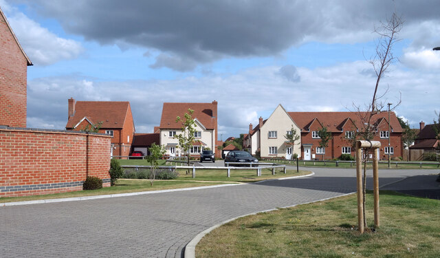
Holloway Plantation Images
Images are sourced within 2km of 51.587818/-1.3366814 or Grid Reference SU4687. Thanks to Geograph Open Source API. All images are credited.


Holloway Plantation is located at Grid Ref: SU4687 (Lat: 51.587818, Lng: -1.3366814)
Administrative County: Oxfordshire
District: Vale of White Horse
Police Authority: Thames Valley
What 3 Words
///fuses.provoking.pram. Near Harwell, Oxfordshire
Nearby Locations
Related Wikis

Holy Trinity Monastery, East Hendred
Holy Trinity Monastery, East Hendred was briefly a convent of contemplative Benedictine nuns situated in the Vale of White Horse, Oxfordshire, from 2004...
East Hendred
East Hendred is a village and civil parish about 4 miles (6.4 km) east of Wantage in the Vale of White Horse and a similar distance west of Didcot. The...
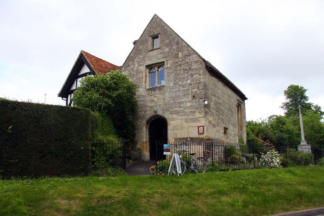
Champs Chapel Museum of East Hendred
The Champs Chapel Museum of East Hendred is a local village museum housed in the former Chapel of Jesus of Bethlehem, built in 1453 by Carthusian monks...
Mammalian Genetics Unit
The Mammalian Genetics Unit was a genetics and genomics research institute in Oxfordshire. == History == Earlier research on the same site at the Radiobiology...

West Ginge
West Ginge is a hamlet within the civil parish of Ardington in the English county of Oxfordshire (formerly Berkshire), 3.9 miles (6.3 km) by road to the...
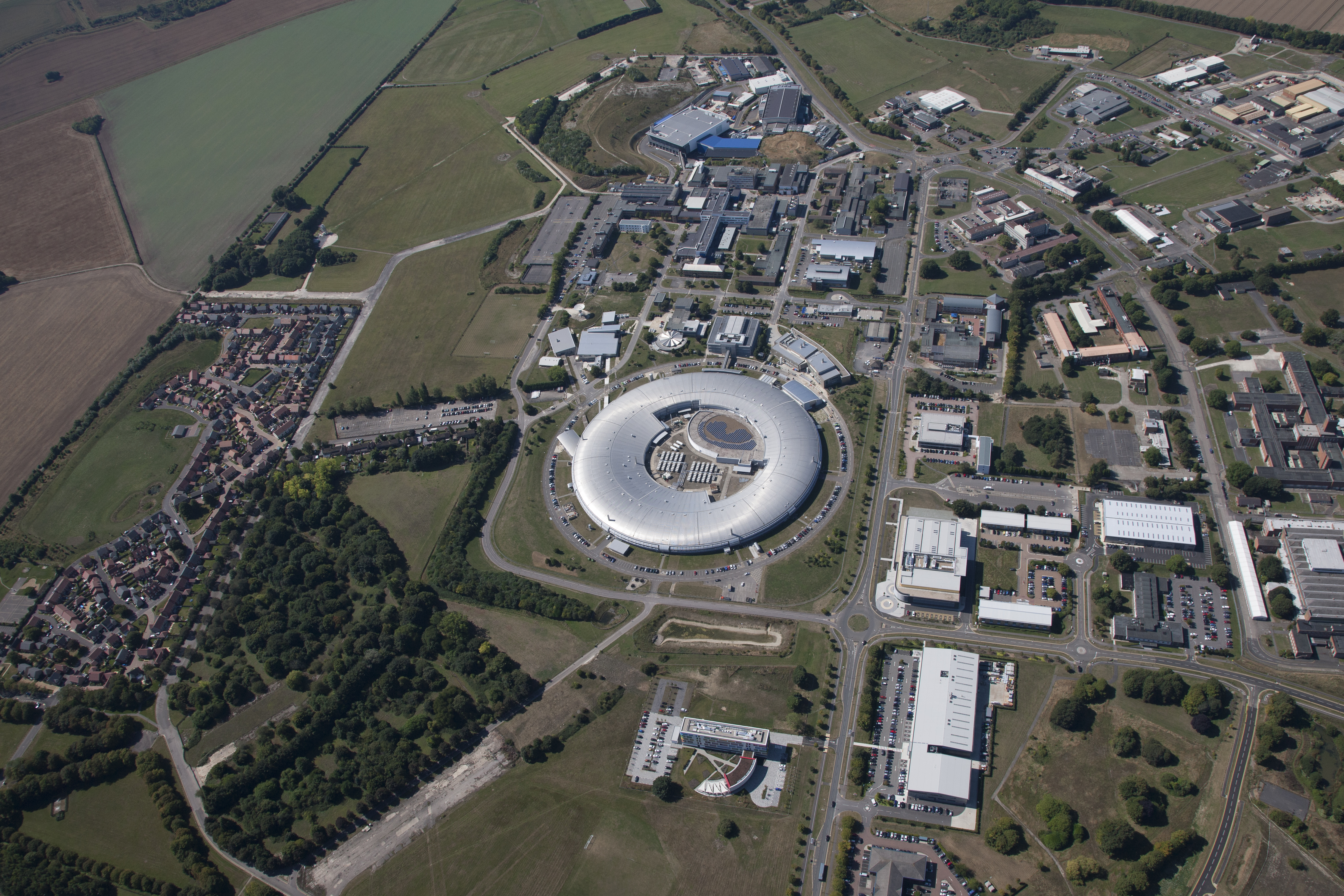
Harwell Science and Innovation Campus
The Harwell Science and Innovation Campus is a 700-acre science and technology campus in Oxfordshire, England. Over 6,000 people work there in over 240...

Atlas Computer Laboratory
The Atlas Computer Laboratory on the Harwell, Oxfordshire campus shared by the Harwell Laboratory was one of the major computer laboratories in the world...
PLUTO reactor
PLUTO was a materials testing nuclear reactor housed at the Atomic Energy Research Establishment, a former Royal Air Force airfield at Harwell, Oxfordshire...
Nearby Amenities
Located within 500m of 51.587818,-1.3366814Have you been to Holloway Plantation?
Leave your review of Holloway Plantation below (or comments, questions and feedback).