Balk Moor

Downs, Moorland in Yorkshire Hambleton

England

Balk Moor

Rivet benchmark on Sutton Bridge Ordnance Survey rivet benchmark on the south parapet of Sutton Bridge, Sutton under Whitestonecliffe. The bridge carries the A170 over Sutton Beck. For a wider view see <a href="https://www.geograph.org.uk/photo/7442785">SE4882 : Sutton Beck from Sutton Bridge</a>

Rivet benchmark levelled at 72.262m above Newlyn Datum, verified 1967
Rivet benchmark on Sutton Bridge Credit: John S Turner

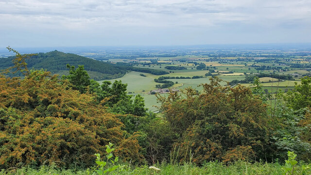
Balk Moor is a picturesque expanse of moorland located in the county of Yorkshire, England. Situated in the heart of the Yorkshire Downs, it covers a vast area with its rolling hills and rugged terrain. This moorland is a part of the North York Moors National Park, which is renowned for its stunning landscapes and rich biodiversity.

The moorland is characterized by its heather-covered hills, interspersed with patches of grassland and scattered trees. The vibrant purple hues of the heather provide a breathtaking sight, especially during the summer months when it is in full bloom. The diverse flora and fauna found in Balk Moor offer a haven for nature enthusiasts and wildlife lovers.

The moorland is also known for its archaeological significance, with numerous prehistoric remains scattered across the area. Ancient burial mounds, stone circles, and remains of settlements dating back thousands of years can be discovered by those who explore the moorland.

Visitors to Balk Moor can enjoy various outdoor activities, such as hiking, cycling, and birdwatching. The area is crisscrossed with a network of well-maintained trails, offering breathtaking views of the surrounding landscape. It is home to a wide range of bird species, including grouse, lapwings, and curlews, making it a popular spot for birdwatching enthusiasts.

Balk Moor is a place of tranquility, where visitors can immerse themselves in the beauty of nature and experience the rich cultural and natural heritage of the Yorkshire Downs.

If you have any feedback on the listing, please let us know in the comments section below.
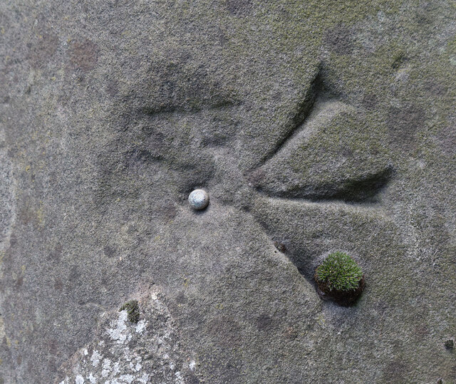
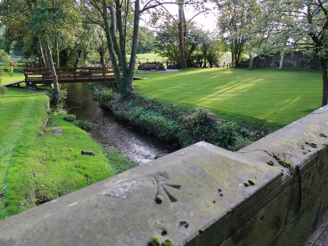
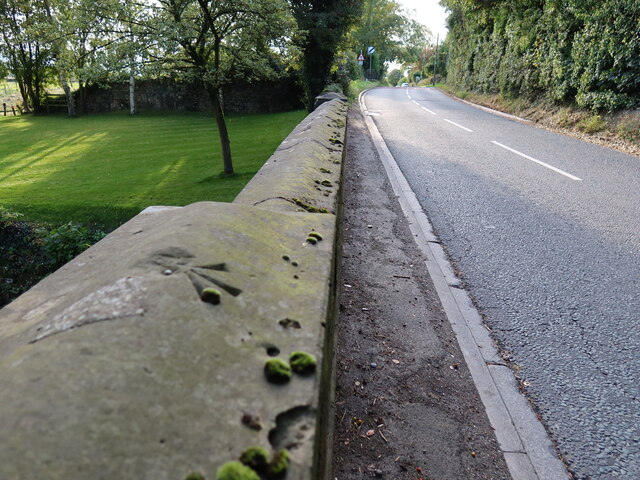
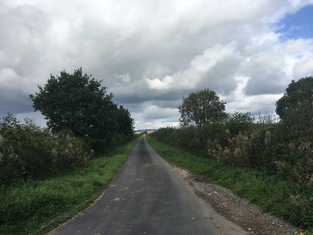
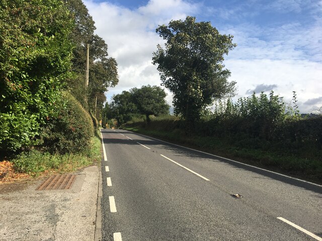
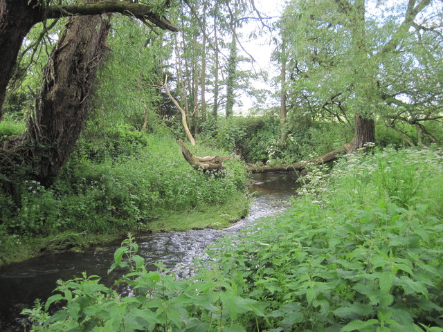
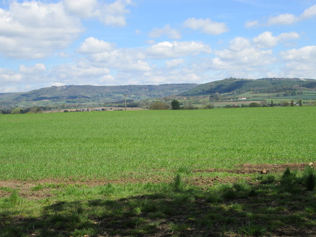
Balk Moor Images

Images are sourced within 2km of 54.226237/-1.2831007 or Grid Reference SE4681. Thanks to Geograph Open Source API. All images are credited.

Rivet benchmark on Sutton Bridge Ordnance Survey rivet benchmark on the south parapet of Sutton Bridge, Sutton under Whitestonecliffe. The bridge carries the A170 over Sutton Beck. For a wider view see <a href="https://www.geograph.org.uk/photo/7442785">SE4882 : Sutton Beck from Sutton Bridge</a>

Rivet benchmark levelled at 72.262m above Newlyn Datum, verified 1967
Rivet benchmark on Sutton Bridge
Ordnance Survey rivet benchmark on the south parapet of Sutton Bridge, Sutton under Whitestonecliffe. The bridge carries the A170 over Sutton Beck. For a wider view see SE4882 : Sutton Beck from Sutton Bridge Rivet benchmark levelled at 72.262m above Newlyn Datum, verified 1967
Sutton Beck from Sutton Bridge Sutton Beck flows under Sutton Bridge in the village of Sutton under Whitestonecliffe. There is an Ordnance Survey rivet benchmark on the south parapet of the bridge. <a href="https://www.geograph.org.uk/photo/7442781">SE4882 : Rivet benchmark on Sutton Bridge</a> The well maintained land and wooden footbridge beyond the road bridge are private.
Sutton Beck from Sutton Bridge
Sutton Beck flows under Sutton Bridge in the village of Sutton under Whitestonecliffe. There is an Ordnance Survey rivet benchmark on the south parapet of the bridge. SE4882 : Rivet benchmark on Sutton Bridge The well maintained land and wooden footbridge beyond the road bridge are private.
Sutton Bridge parapet and the A170 Sutton Bridge carries the usually busy A170 over Sutton Beck at Sutton under Whitestonecliffe. There is an Ordnance Survey rivet benchmark on the south parapet <a href="https://www.geograph.org.uk/photo/7442781">SE4882 : Rivet benchmark on Sutton Bridge</a>
Sutton Bridge parapet and the A170
Sutton Bridge carries the usually busy A170 over Sutton Beck at Sutton under Whitestonecliffe. There is an Ordnance Survey rivet benchmark on the south parapet SE4882 : Rivet benchmark on Sutton Bridge
"Finest View in England" Just a few minutes' walk from the Sutton Bank National Park Centre, there is what is called the "Finest View in England" - an excellent view from Sutton Bank all the way to Yorkshire Dales.
"Finest View in England"
Just a few minutes' walk from the Sutton Bank National Park Centre, there is what is called the "Finest View in England" - an excellent view from Sutton Bank all the way to Yorkshire Dales.
Lane to Abbot’s Close
A170 near Sutton-Under-Whitestonecliffe
Balk  Beck On the footpath to Balk, there is a good footbridge here not shown on O/S map
Balk Beck
On the footpath to Balk, there is a good footbridge here not shown on O/S map
North of Thirkleby Looking towards Sutton Bank & Hood Hill.
North of Thirkleby
Looking towards Sutton Bank & Hood Hill.
Bagby International Airfield See: <span class="nowrap"><a title="http://www.bagby-airfield.co.uk/" rel="nofollow ugc noopener" href="http://www.bagby-airfield.co.uk/">Link</a><img style="margin-left:2px;" alt="External link" title="External link - shift click to open in new window" src="https://s1.geograph.org.uk/img/external.png" width="10" height="10"/></span>
Bagby International Airfield
See: LinkExternal link
Bagby International Airfield View from the clubhouse.
See: <span class="nowrap"><a title="http://www.bagby-airfield.co.uk/" rel="nofollow ugc noopener" href="http://www.bagby-airfield.co.uk/">Link</a><img style="margin-left:2px;" alt="External link" title="External link - shift click to open in new window" src="https://s1.geograph.org.uk/img/external.png" width="10" height="10"/></span>
Bagby International Airfield
View from the clubhouse. See: LinkExternal link
Bagby International Airfield: view up Runway 26 Hambleton Hills in the distance.
Bagby International Airfield: view up Runway 26
Hambleton Hills in the distance.
Roll Your Own Round bales of hay, adjacent to Bagby Airfield.
Roll Your Own
Round bales of hay, adjacent to Bagby Airfield.
Aero Club Bagby Aero Club.
Aero Club
Bagby Aero Club.
St. Mary's Church, Bagby
Bad Bend by Carthorse Furniture.
Pylons looking South at Balk
Pylons looking North at Balk
Show me another place!

Balk Moor is located at Grid Ref: SE4681 (Lat: 54.226237, Lng: -1.2831007)

Division: North Riding

Administrative County: North Yorkshire

District: Hambleton

Police Authority: North Yorkshire

What 3 Words

///sniff.readily.irony. Near Thirsk, North Yorkshire

Nearby Locations

Balk Moor Bagby Moor

Related Wikis

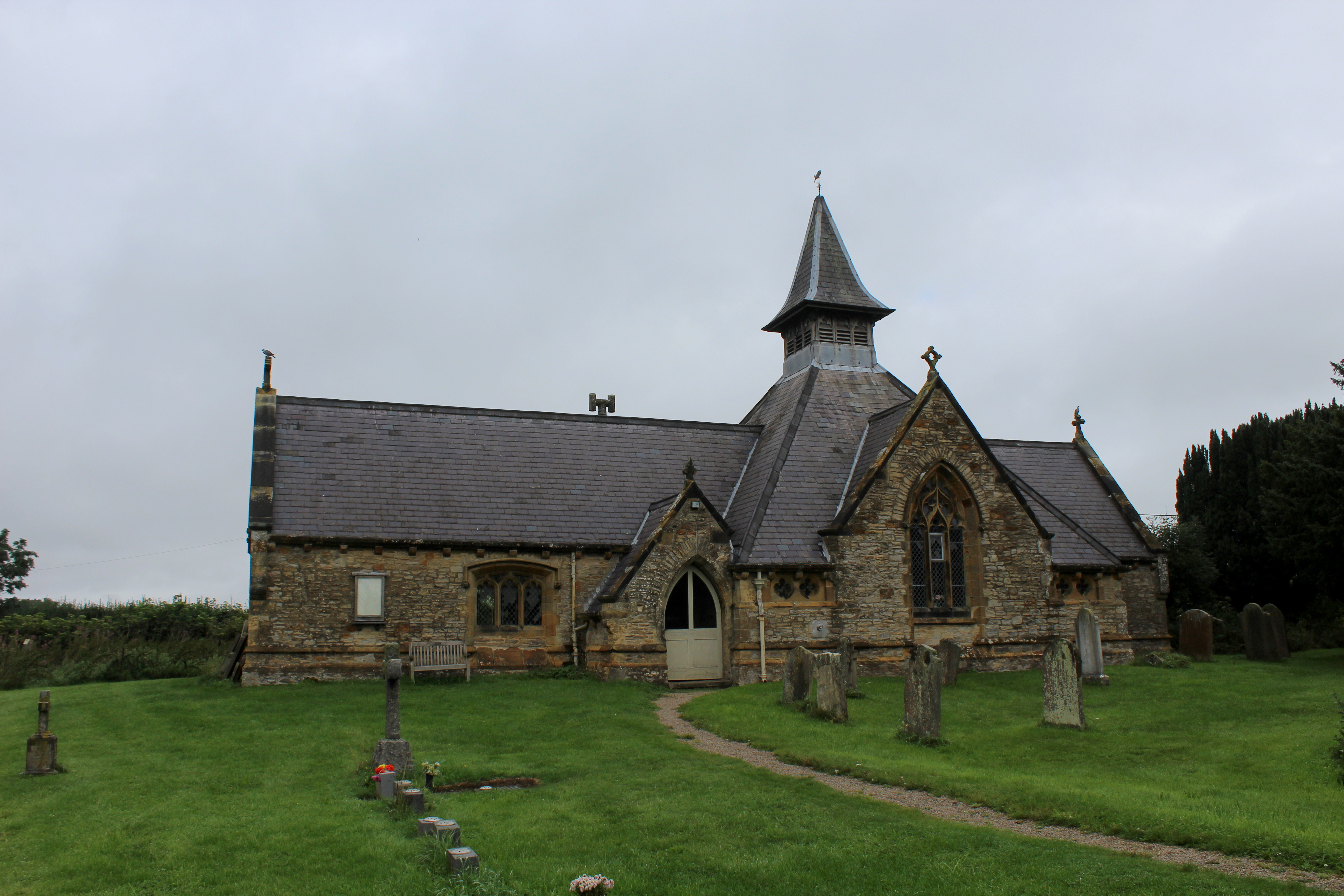
St Mary's Church, Bagby

St Mary's Church is the parish church of Bagby, a village in North Yorkshire, in England. A chapel in Bagby was recorded in the Domesday Book, and again...

Balk, North Yorkshire

Balk is a hamlet and civil parish in the former Hambleton District of North Yorkshire, England, just east of Thirsk. In the 2001 census the parish had...

Sutton-under-Whitestonecliffe

Sutton-under-Whitestonecliffe is a village and civil parish in North Yorkshire, England. Historically part of the North Riding of Yorkshire, it is situated...

Bagby

Bagby is a village and civil parish in the former Hambleton District of North Yorkshire, England, 3 miles (5 km) south-east of Thirsk. The parish had a...

Have you been to Balk Moor?

Leave your review of Balk Moor below (or comments, questions and feedback).