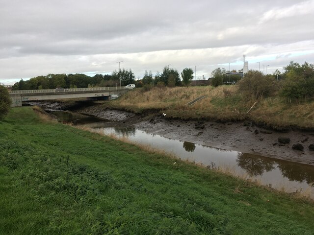
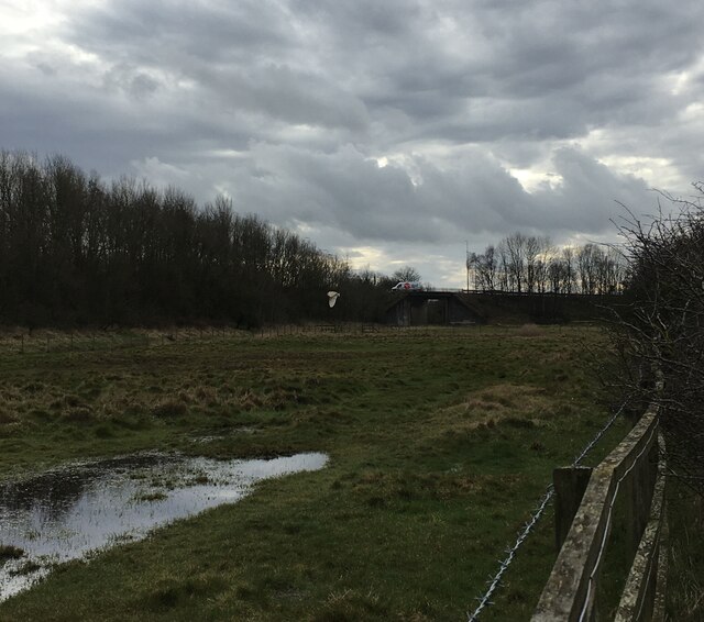
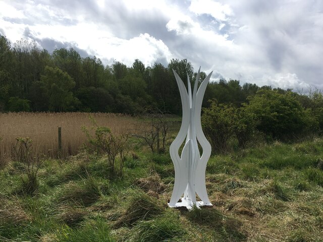
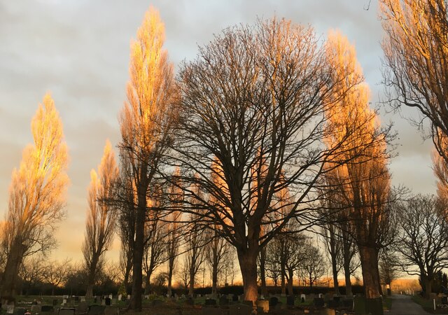
Maze Park
Downs, Moorland in Yorkshire
England
Maze Park
Maze Park is a scenic and picturesque area located in the heart of Yorkshire, England. Nestled amidst the beautiful Yorkshire Downs and Moorland, this enchanting park offers visitors a unique and immersive experience in nature.
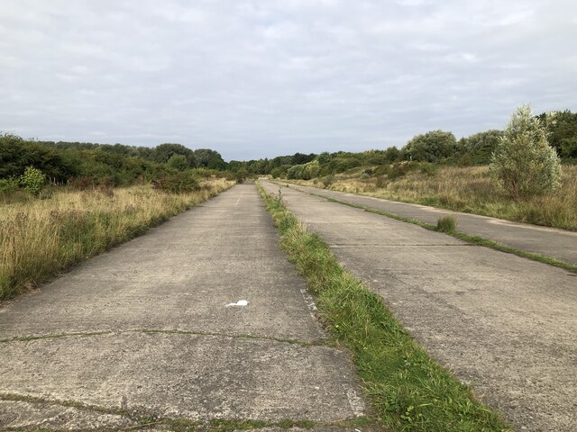
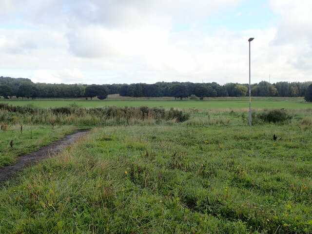
Covering an expansive area, Maze Park is known for its stunning landscapes, rolling hills, and breathtaking views. The park boasts an array of walking trails and paths that cater to all levels of fitness and adventure seekers. From leisurely strolls to challenging hikes, visitors can explore the area at their own pace while taking in the serenity and beauty of the surrounding countryside.
One of the main attractions of Maze Park is its fascinating maze gardens. Perfect for families and individuals, these intricate mazes offer a fun and interactive experience. Visitors can navigate through the winding paths, trying to find the center while enjoying the thrill of getting lost and discovering hidden surprises along the way.
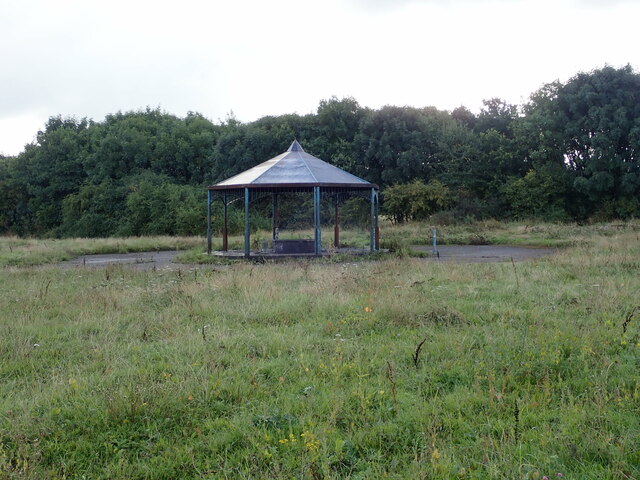
In addition to its natural beauty, Maze Park also offers various recreational activities for outdoor enthusiasts. The park features designated picnic areas, where visitors can relax and enjoy a scenic lunch while taking in the panoramic views. There are also playgrounds for children, providing a safe and enjoyable space for them to play and explore.
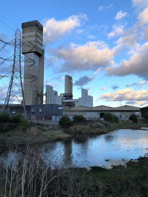
For those interested in wildlife and conservation, Maze Park is home to a diverse range of plant and animal species. The park's rich ecosystem provides a habitat for rare and indigenous wildlife, making it a haven for nature lovers and photographers alike.
Overall, Maze Park in Yorkshire is a must-visit destination for those seeking an escape from the hustle and bustle of everyday life. With its stunning landscapes, captivating mazes, and abundant wildlife, this park offers an unforgettable experience for visitors of all ages.
If you have any feedback on the listing, please let us know in the comments section below.
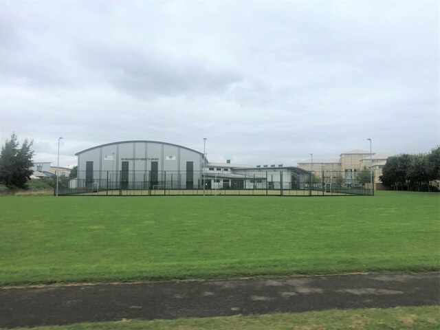
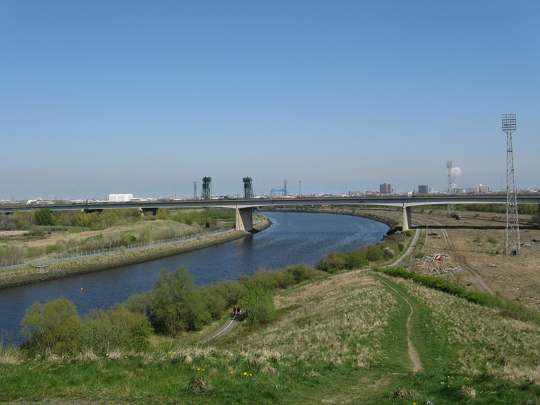
Maze Park Images
Images are sourced within 2km of 54.565265/-1.2771519 or Grid Reference NZ4619. Thanks to Geograph Open Source API. All images are credited.


Maze Park is located at Grid Ref: NZ4619 (Lat: 54.565265, Lng: -1.2771519)
Division: North Riding
Unitary Authority: Middlesbrough
Police Authority: Redcar and Cleveland
What 3 Words
///indeed.disarmed.coaster. Near Billingham, Co. Durham
Nearby Locations
Related Wikis
Maze Park Nature Reserve
Maze Park is a 42-acre (17 ha) urban nature reserve in Middlesbrough, England on the south bank of the Tees on part of the former Tees Marshalling Yard...
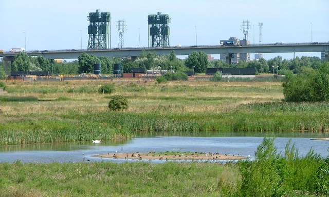
Portrack Marsh Nature Reserve
Portrack Marsh Nature Reserve is a 50 acres (20 ha) reserve by the northern bank of the River Tees between the Tees Barrage and the Tees Viaduct, near...
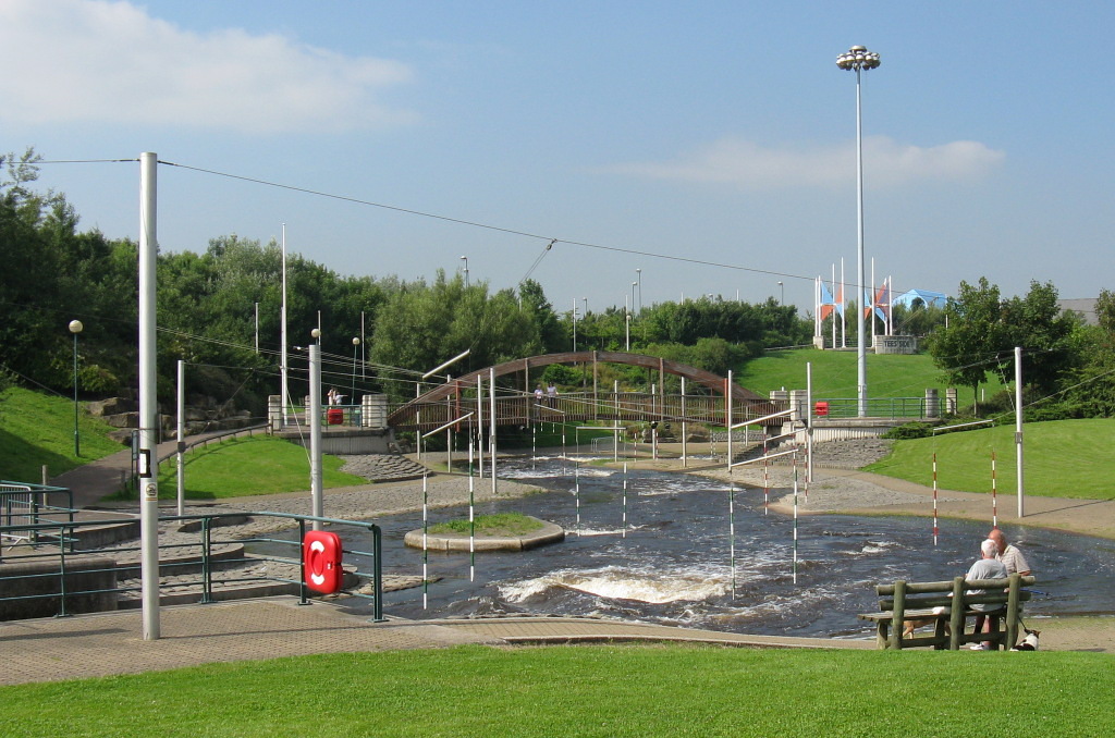
Tees Barrage International White Water Course
The Tees Barrage International White Water Course, originally the Teesside White Water Course, is an artificial whitewater course on the north bank of...

Tees Barrage
The Tees Barrage is a barrage and road bridge across the River Tees, Northern England, just upriver of Blue House Point and is used to control the flow...
Nearby Amenities
Located within 500m of 54.565265,-1.2771519Have you been to Maze Park?
Leave your review of Maze Park below (or comments, questions and feedback).