Bagby Moor
Downs, Moorland in Yorkshire Hambleton
England
Bagby Moor

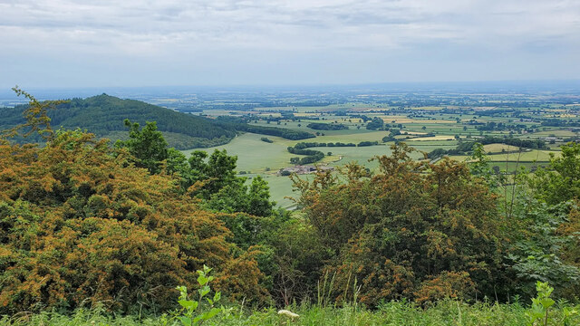
Bagby Moor is a picturesque area located in the county of Yorkshire, England. Situated on the edge of the North York Moors National Park, it is a place of outstanding natural beauty, characterized by rolling hills, vast expanses of heather-covered moorland, and breathtaking views.
Covering an area of approximately 10 square kilometers, Bagby Moor is a haven for nature enthusiasts and outdoor adventurers. The moorland is home to a diverse range of flora and fauna, including heather, bilberry, and cotton grass, as well as birds such as curlews, lapwings, and meadow pipits. The area is also known for its rich archaeological history, with remnants of ancient settlements, burial mounds, and stone circles scattered throughout the landscape.
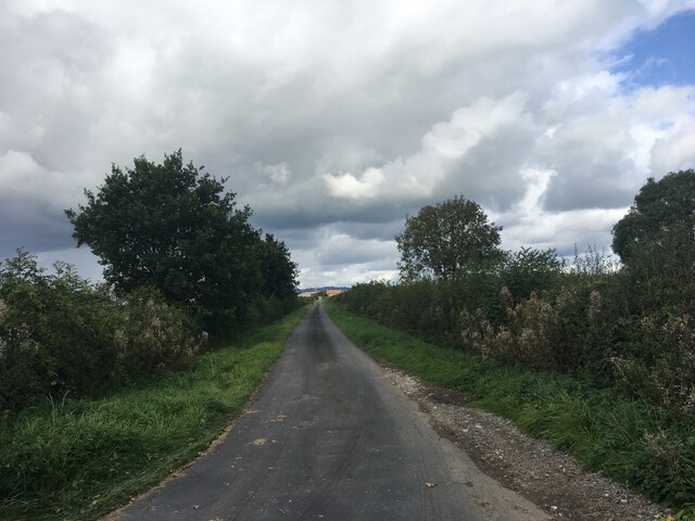
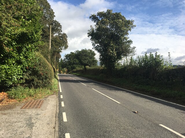
Walking and hiking are popular activities for visitors to Bagby Moor, with numerous trails and footpaths crisscrossing the area. The Cleveland Way, a long-distance footpath, passes through the moor, offering stunning views of the surrounding countryside. Additionally, the nearby Sutton Bank National Park Centre provides information on the local wildlife and geology, as well as opportunities for rock climbing and cycling.
Bagby Moor is also renowned for its tranquility and peacefulness, making it an ideal location for those seeking relaxation and solitude. The open skies and minimal light pollution make it a perfect spot for stargazing, and on clear nights, the Milky Way can be seen stretching across the moor.
In summary, Bagby Moor is a captivating destination that showcases the natural beauty and rich history of Yorkshire. With its sweeping landscapes, diverse wildlife, and opportunities for outdoor activities, it offers a unique and rewarding experience for visitors.
If you have any feedback on the listing, please let us know in the comments section below.
Bagby Moor Images
Images are sourced within 2km of 54.227526/-1.2929569 or Grid Reference SE4681. Thanks to Geograph Open Source API. All images are credited.


Bagby Moor is located at Grid Ref: SE4681 (Lat: 54.227526, Lng: -1.2929569)
Division: North Riding
Administrative County: North Yorkshire
District: Hambleton
Police Authority: North Yorkshire
What 3 Words
///collision.opposite.shears. Near Thirsk, North Yorkshire
Nearby Locations
Related Wikis

Balk, North Yorkshire
Balk is a hamlet and civil parish in the Hambleton district of North Yorkshire, England, just east of Thirsk. In the 2001 census the parish had a population...

Bagby
Bagby is a village and civil parish in the former Hambleton District of North Yorkshire, England, 3 miles (5 km) south-east of Thirsk. The parish had a...

Sutton-under-Whitestonecliffe
Sutton-under-Whitestonecliffe is a village and civil parish in the Hambleton district of North Yorkshire, England. Historically part of the North Riding...

Thirkleby Hall
Thirkleby Hall was a large 18th-century country house in Great Thirkleby in the Hambleton hills of North Yorkshire. It was demolished in 1927. == History... ==

Sowerby, North Yorkshire
Sowerby () is a village, electoral ward and civil parish in the Hambleton District of North Yorkshire, England immediately south of the neighbouring market...

Thirkleby High and Low with Osgodby
Thirkleby High and Low with Osgodby is a civil parish in North Yorkshire, England. The constituents of the parish consist of the villages of Great Thirkleby...

St Oswald's Church, Sowerby
St Oswald's Church is a Church of England parish church in Sowerby, North Yorkshire, England. It is named after Oswald of Northumbria. == History == The...
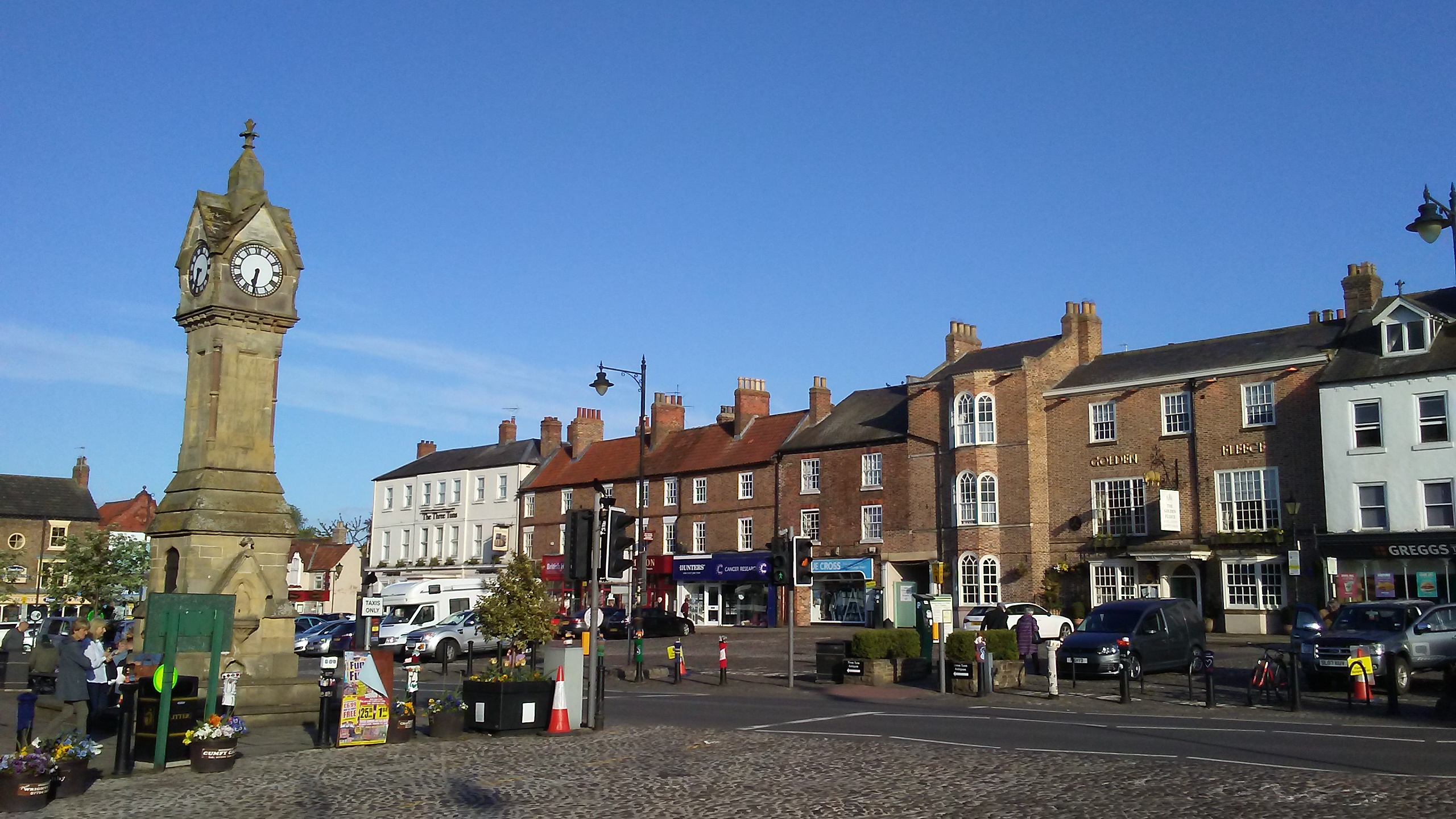
Thirsk
Thirsk is a market town and civil parish in North Yorkshire, England; it is known for its racecourse, quirky yarn bombing displays and depiction as local...
Nearby Amenities
Located within 500m of 54.227526,-1.2929569Have you been to Bagby Moor?
Leave your review of Bagby Moor below (or comments, questions and feedback).