Derrings Plain
Downs, Moorland in Yorkshire Hambleton
England
Derrings Plain

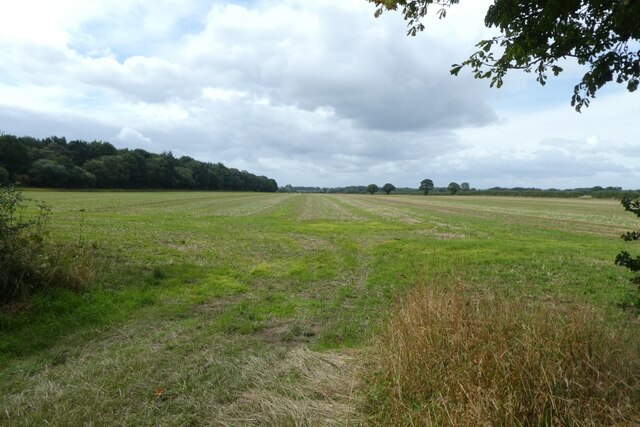
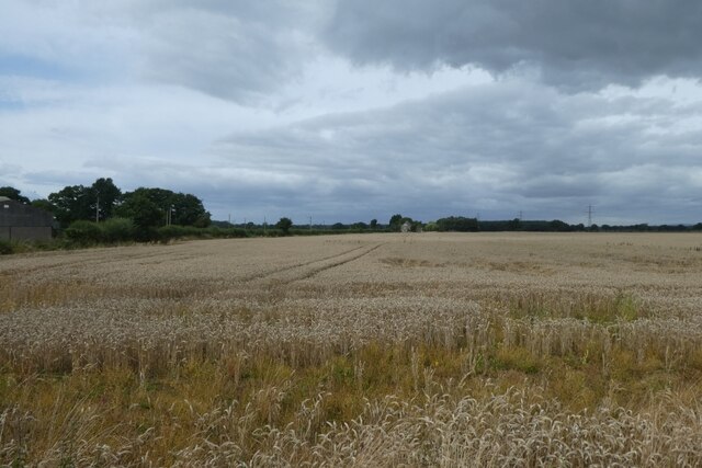
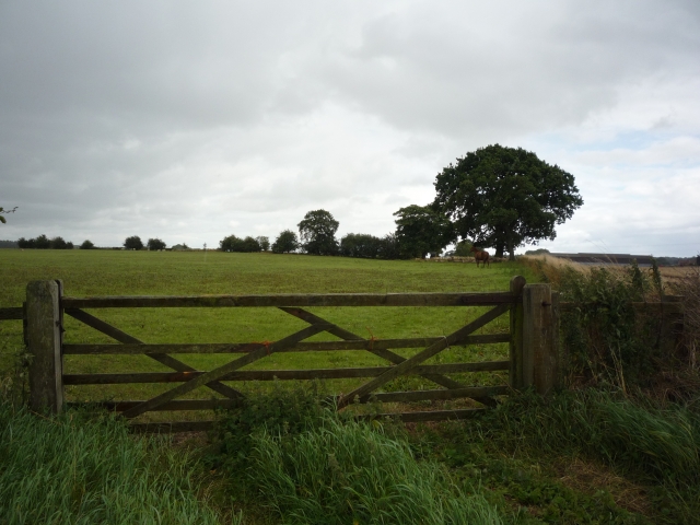
Derrings Plain is a picturesque and expansive area situated in the heart of Yorkshire, encompassing both downs and moorland landscapes. Located in the northern region of England, this natural beauty spans over 500 acres, offering a diverse range of flora, fauna, and geological formations.
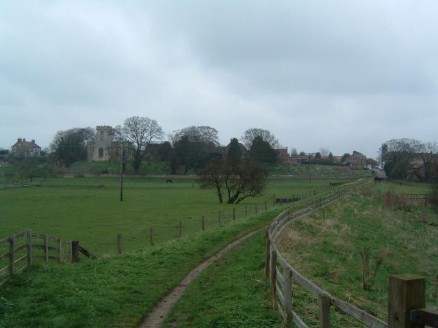
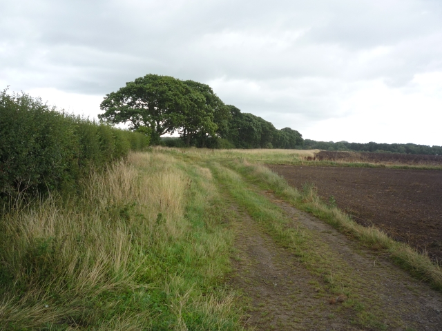
The downs of Derrings Plain provide rolling hills and vast open spaces, covered in lush green grasses and dotted with scattered trees. The undulating terrain presents a serene and tranquil atmosphere, perfect for leisurely walks or horseback riding. The downs also offer breathtaking panoramic views of the surrounding countryside, with the distant peaks of the Yorkshire Dales visible on clear days.
Adjacent to the downs, the moorland of Derrings Plain presents a distinct contrast with its rugged and wild character. The moorland is dominated by heather, creating a stunning carpet of purple hues during the summer months. This unique ecosystem supports a range of wildlife, including birds of prey such as the merlin and peregrine falcon, as well as various species of grouse.
Visitors to Derrings Plain can explore the area through a network of well-maintained trails, allowing them to experience the beauty and tranquility of the countryside. The vast expanse of the plain also makes it an ideal location for outdoor activities such as picnicking, camping, and photography.
Derrings Plain, with its combination of downs and moorland, offers a diverse and captivating natural environment for nature enthusiasts and those seeking a peaceful retreat in the heart of Yorkshire.
If you have any feedback on the listing, please let us know in the comments section below.
Derrings Plain Images
Images are sourced within 2km of 54.112463/-1.2862881 or Grid Reference SE4668. Thanks to Geograph Open Source API. All images are credited.


Derrings Plain is located at Grid Ref: SE4668 (Lat: 54.112463, Lng: -1.2862881)
Division: North Riding
Administrative County: North Yorkshire
District: Hambleton
Police Authority: North Yorkshire
What 3 Words
///reef.exclusive.transmits. Near Easingwold, North Yorkshire
Nearby Locations
Related Wikis

Tholthorpe
Tholthorpe is a village and civil parish in the Hambleton district of North Yorkshire, England. It is situated approximately 4 miles (6 km) south-west...
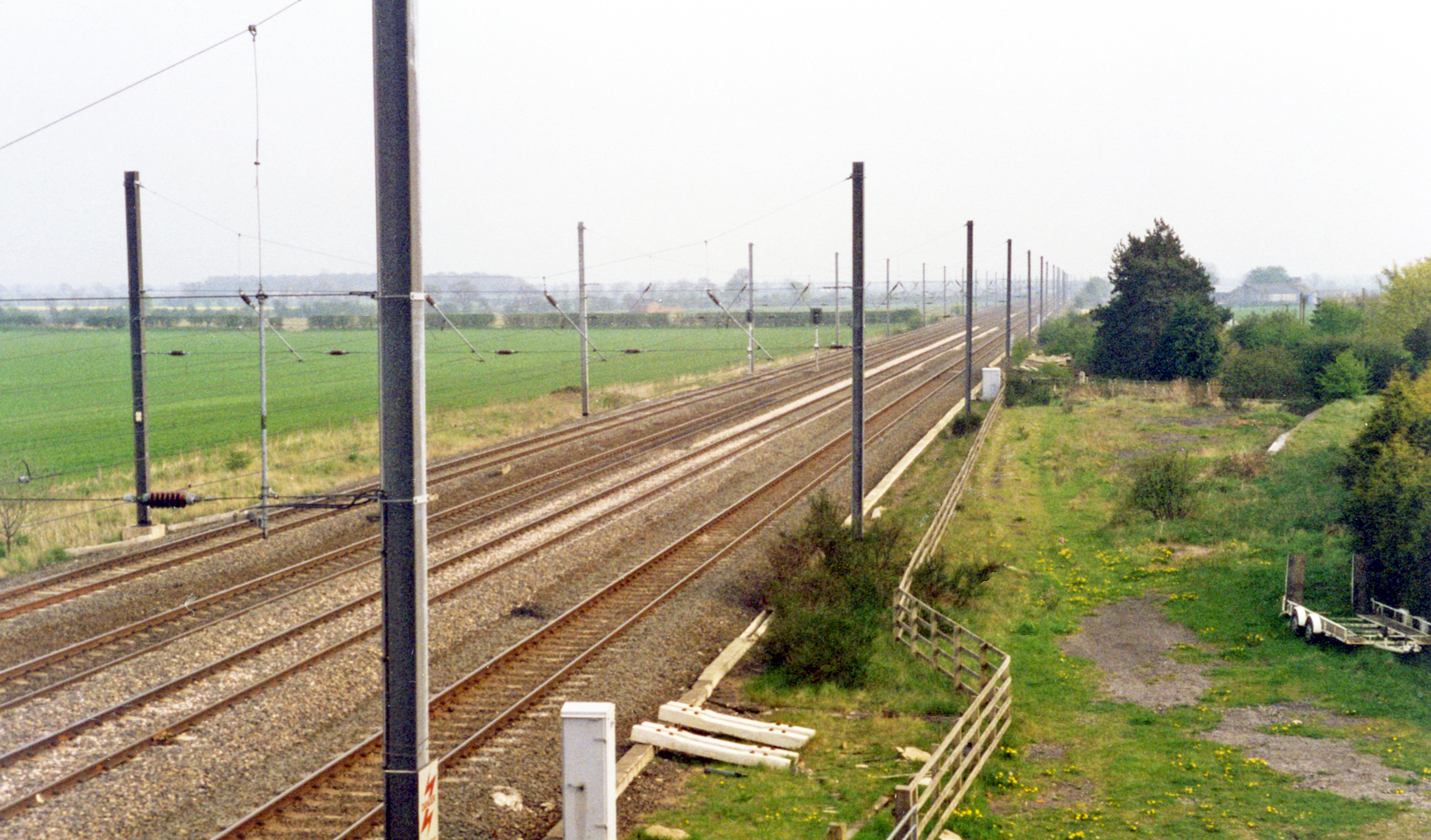
Raskelf railway station
Raskelf railway station served the village of Raskelf, North Yorkshire, England from 1841 to 1964 on the East Coast Main Line. == History == The station...

Helperby
Helperby is a village and former civil parish, now in the parish of Brafferton and Helperby, in the Hambleton District of North Yorkshire, England, about...
Brafferton and Helperby
Brafferton and Helperby is a civil parish in the Hambleton District of North Yorkshire, England. Up until 2019, both Brafferton and Helperby were in their...
Brafferton, North Yorkshire
Brafferton is a village and former civil parish, now in the parish of Brafferton and Helperby, in the Hambleton District of North Yorkshire, England. According...
RAF Helperby
RAF Helperby (also known as RAF Brafferton), was a First World War era airfield near to the villages of Brafferton and Helperby in North Yorkshire, England...

Dishforth
Dishforth is a village and civil parish in the Harrogate district of North Yorkshire, England. Dishforth translates from Old English as dic-ford; a ford...
Myton-on-Swale
Myton-on-Swale is a village and civil parish in North Yorkshire, England. It is about 3 miles (5 kilometres) east of Boroughbridge and on the River Swale...
Have you been to Derrings Plain?
Leave your review of Derrings Plain below (or comments, questions and feedback).