Top o' th' Moss
Downs, Moorland in Lancashire Rossendale
England
Top o' th' Moss
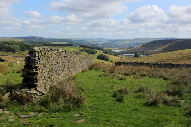
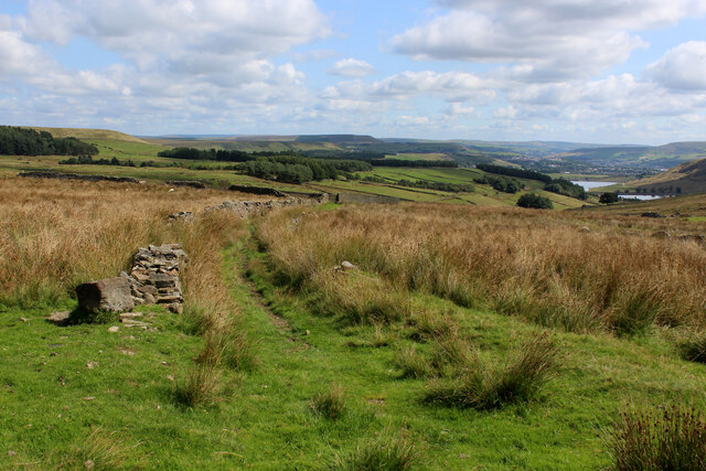
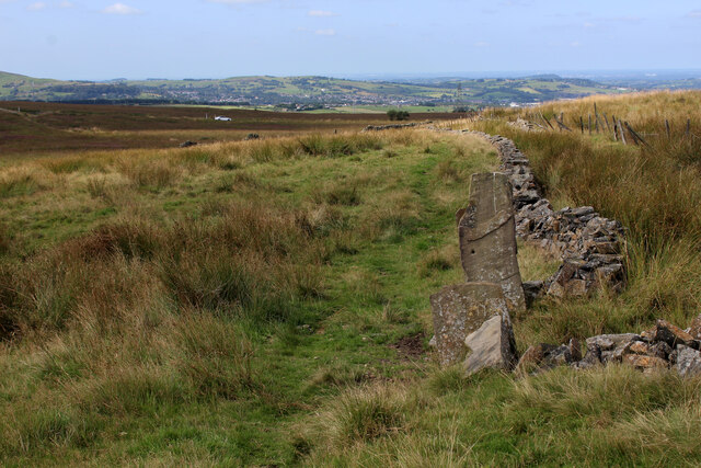
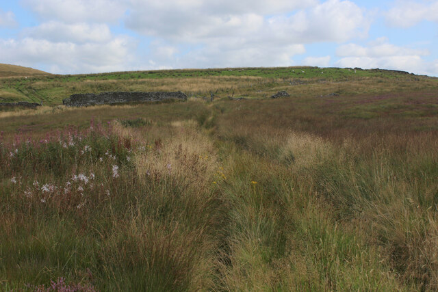
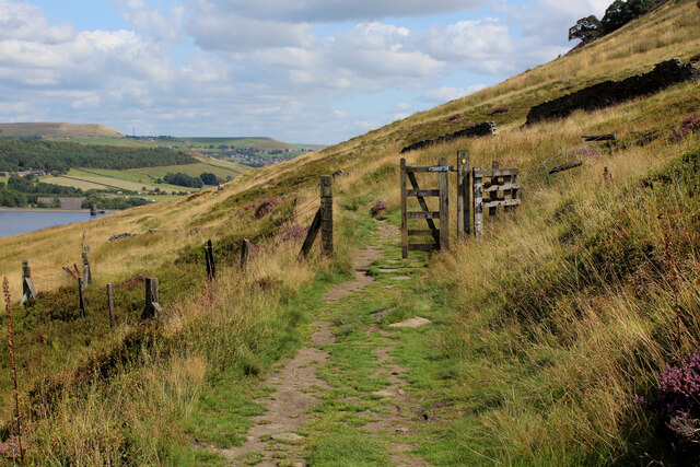
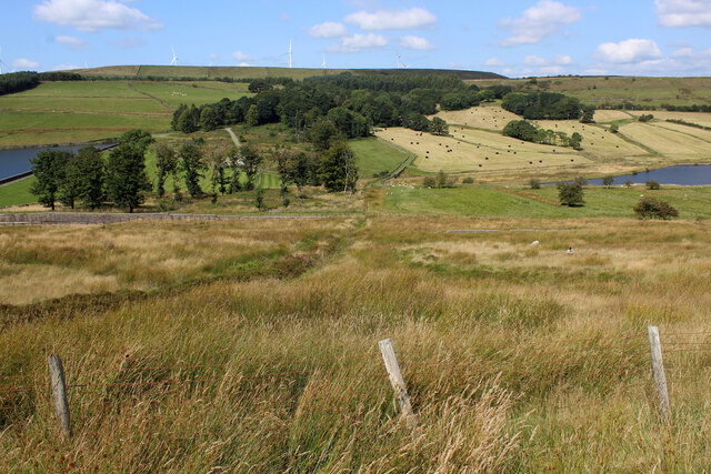
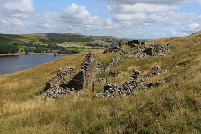
Top o' th' Moss is a picturesque area located in Lancashire, England. Situated amidst the rolling hills and expansive moorlands of the region, this charming locale offers breathtaking natural beauty and a tranquil atmosphere. The name "Top o' th' Moss" refers to the highest point in the area, which provides visitors with panoramic views of the surrounding landscape.
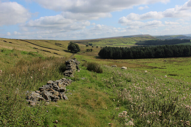
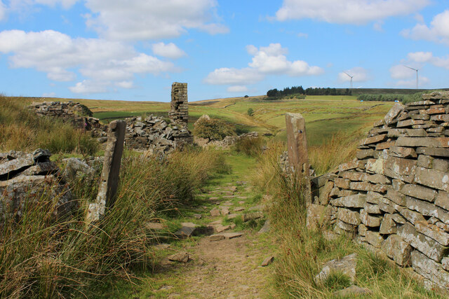
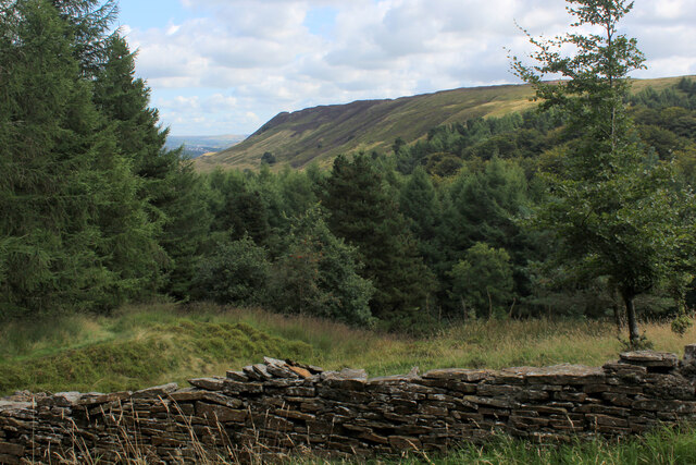
The landscape of Top o' th' Moss is dominated by heather-covered moors, scattered with patches of lush greenery and dotted with rocky outcrops. The area is a haven for wildlife, with a wide variety of bird species, including kestrels and lapwings, making it a popular spot for birdwatching enthusiasts.
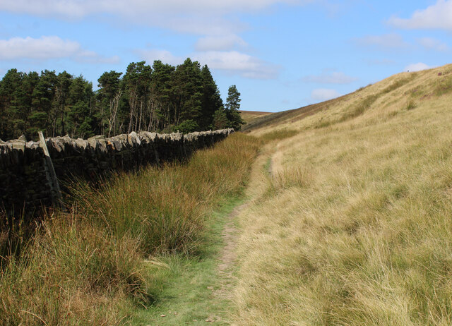
The region is also home to a diverse range of flora and fauna, with wildflowers such as foxgloves and bluebells adding vibrant splashes of color to the landscape. Visitors can explore the area through numerous walking trails, allowing them to immerse themselves in the natural beauty and peaceful surroundings.
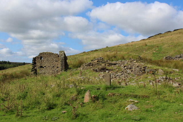
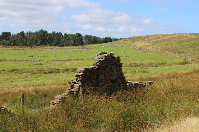
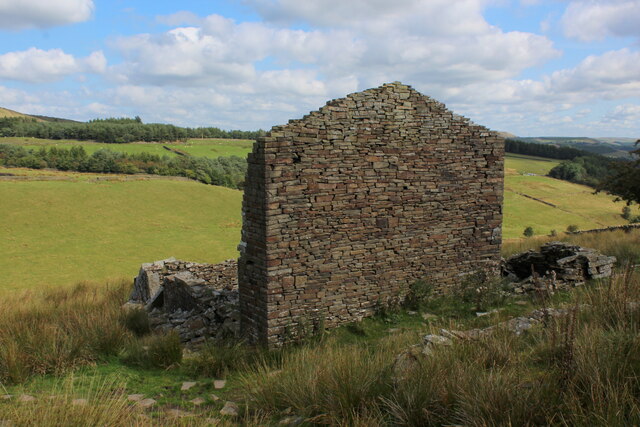
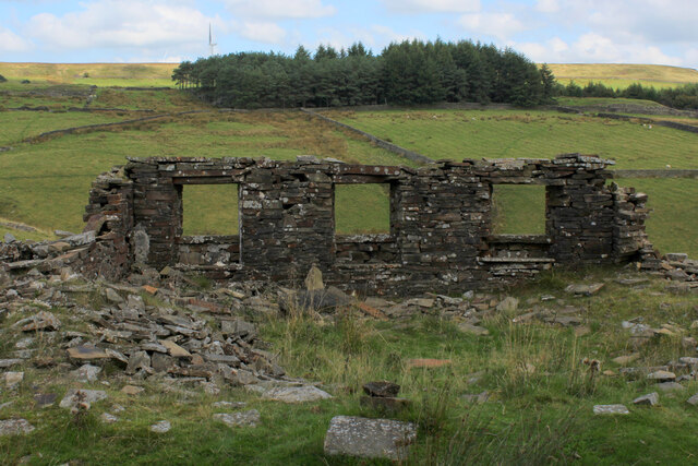
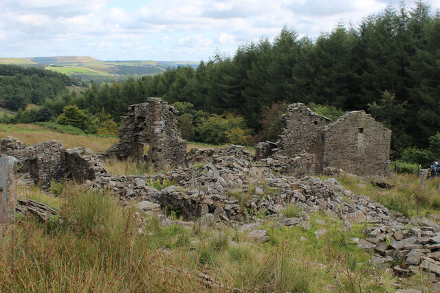
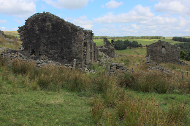
Historically, Top o' th' Moss has been used for sheep farming, with traditional stone-walled farms still dotting the landscape. These farms add a touch of rustic charm to the area and provide a glimpse into the region's agricultural past.
In conclusion, Top o' th' Moss in Lancashire offers a serene and picturesque getaway for nature lovers and those seeking a break from the hustle and bustle of city life. With its stunning moorlands, abundant wildlife, and rich history, this area is a hidden gem waiting to be discovered.
If you have any feedback on the listing, please let us know in the comments section below.
Top o' th' Moss Images
Images are sourced within 2km of 53.690755/-2.3889158 or Grid Reference SD7421. Thanks to Geograph Open Source API. All images are credited.
Top o' th' Moss is located at Grid Ref: SD7421 (Lat: 53.690755, Lng: -2.3889158)
Administrative County: Lancashire
District: Rossendale
Police Authority: Lancashire
What 3 Words
///kidney.visit.kitchen. Near Haslingden, Lancashire
Nearby Locations
Related Wikis

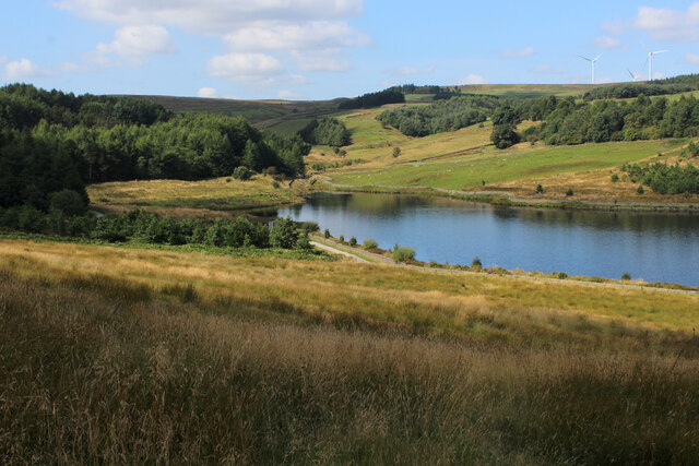
Calf Hey Reservoir
Calf Hey Reservoir is a reservoir in Haslingden Grane, close to the town of Haslingden, in the Borough of Rossendale, England. It was the first of three...

Yate and Pickup Bank
Yate and Pickup Bank is a civil parish in the borough of Blackburn with Darwen, Lancashire, England. The population of the civil parish taken at the census...

Haslingden Grane
Haslingden Grane is the glaciated upper portion of the valley of the River Ogden, which lies west of Haslingden and is in the north east section of the...

Musbury Valley
The Musbury Valley is a small valley in the Helmshore area of Rossendale Valley, Lancashire. Musbury Brook flows through its length, and its south side...
Nearby Amenities
Located within 500m of 53.690755,-2.3889158Have you been to Top o' th' Moss?
Leave your review of Top o' th' Moss below (or comments, questions and feedback).