Bradley Green
Downs, Moorland in Gloucestershire Stroud
England
Bradley Green
Bradley Green is a picturesque area located in Gloucestershire, England. Nestled amidst the stunning Downs and Moorland landscapes, it offers a truly idyllic setting for nature enthusiasts and those seeking tranquility.
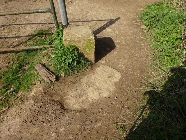
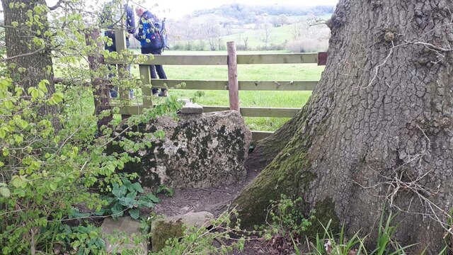
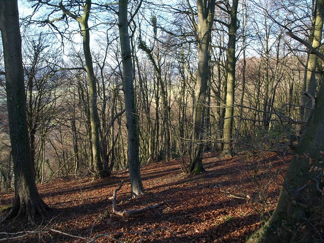
The Downs in Bradley Green are characterized by rolling hills covered in lush greenery, providing breathtaking panoramic views of the surrounding countryside. This area is home to a variety of wildlife, including rabbits, foxes, and numerous bird species. Walking enthusiasts can explore the network of footpaths that wind through the Downs, allowing them to immerse themselves in the beauty of nature.
Meanwhile, the Moorland in Bradley Green showcases a distinct landscape with wide expanses of heather and gorse. This unique habitat supports a diverse range of flora and fauna, including heathland birds, butterflies, and rare plants. Adventurous individuals can take advantage of the moorland's open spaces by engaging in activities such as hiking, cycling, or horseback riding.
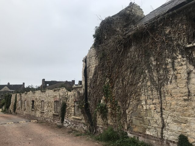
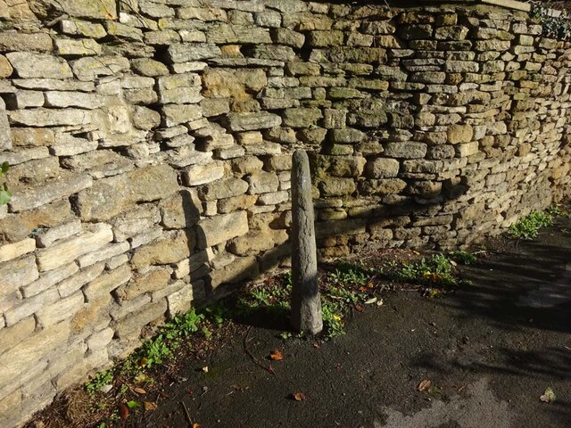
In addition to its natural beauty, Bradley Green offers a close-knit community and a sense of rural charm. The village itself is small but welcoming, with a handful of traditional cottages dotted along its streets. The local pub, The Greenhouse, provides a cozy gathering spot for residents and visitors alike, serving up delicious meals and refreshing drinks.
Overall, Bradley Green, Gloucestershire, is a destination that showcases the best of the English countryside. With its stunning Downs and Moorland landscapes, rich biodiversity, and warm community spirit, it is a place where one can escape the hustle and bustle of modern life and reconnect with nature.
If you have any feedback on the listing, please let us know in the comments section below.
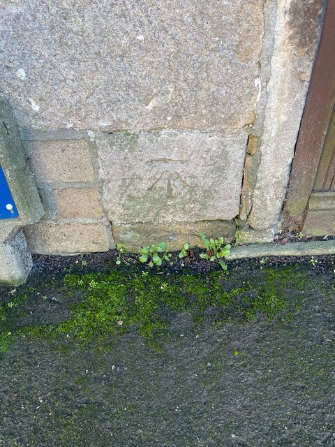
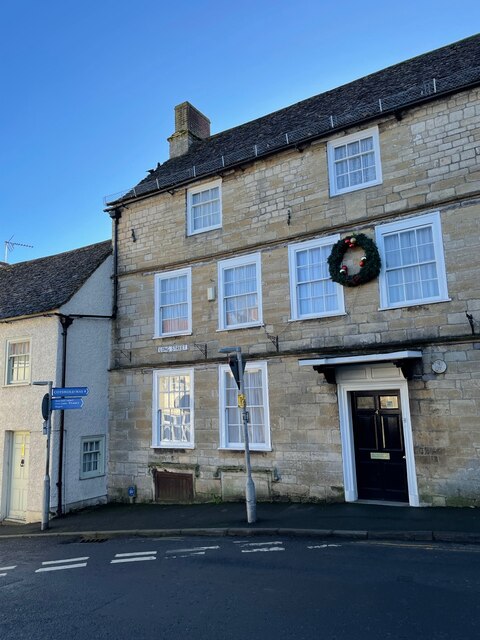
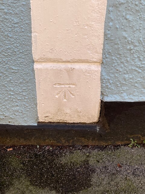
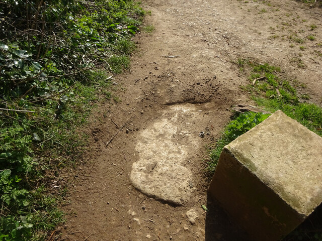
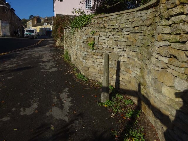
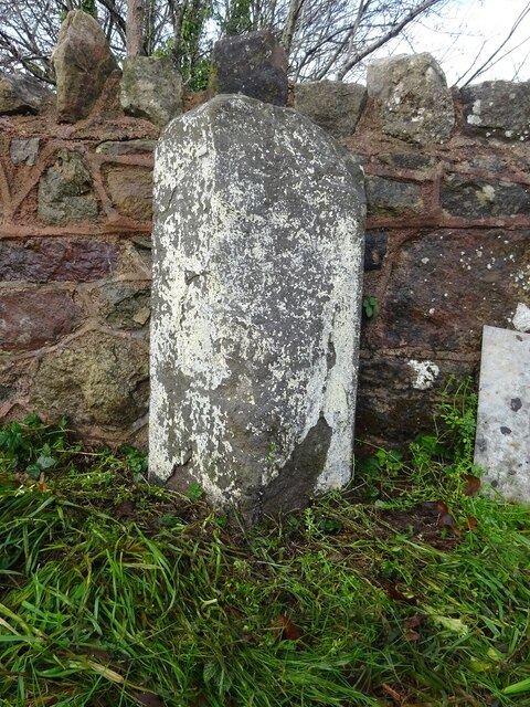
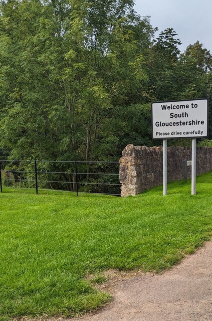
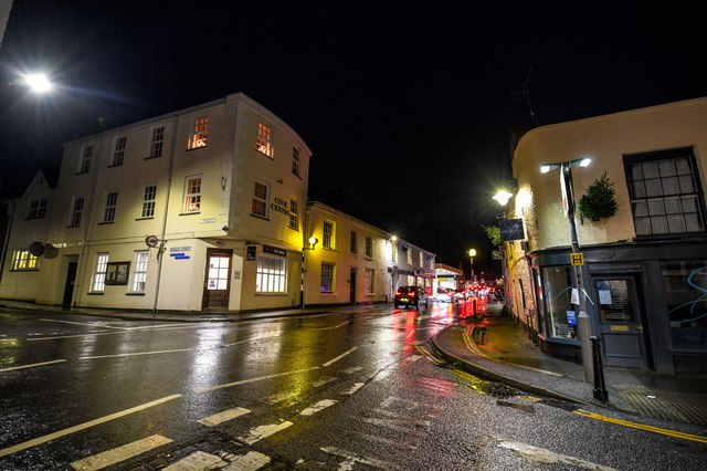
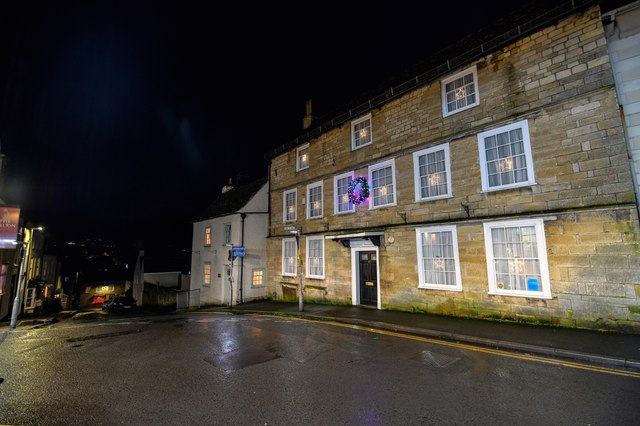
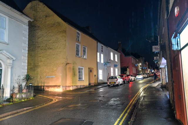
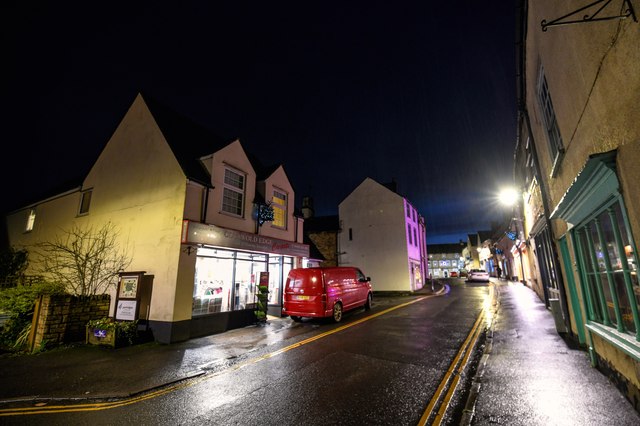
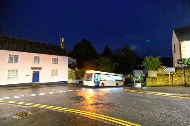
Bradley Green Images
Images are sourced within 2km of 51.641001/-2.3711935 or Grid Reference ST7493. Thanks to Geograph Open Source API. All images are credited.
Bradley Green is located at Grid Ref: ST7493 (Lat: 51.641001, Lng: -2.3711935)
Administrative County: Gloucestershire
District: Stroud
Police Authority: Gloucestershire
What 3 Words
///asset.widen.until. Near Kingswood, Gloucestershire
Nearby Locations
Related Wikis

Bournstream
Bournstream is a village located in Gloucestershire, England.

Bradley, Gloucestershire
Bradley is a small village in the Stroud District, in the county of Gloucestershire, England.Also part of the village is the hamlet of Bradley Green, with...
Wotton Hill
Wotton Hill (grid reference ST753942) is a hill on the edge of the Cotswold Hills in Gloucestershire, England, 0.5 miles (0.80 km) north of Wotton-under...

Katharine Lady Berkeley's School
Katharine Lady Berkeley's School is an academy school near Wotton-under-Edge, Gloucestershire, England, for ages 11 to 18. == History == The school was...
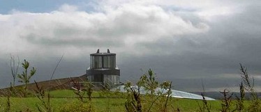
Swinhay House
Swinhay House is a futuristic building built for David McMurtry, an industrialist, in North Nibley near Wotton-under-Edge, Gloucestershire. == History... ==

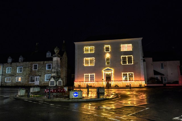
Wotton-under-Edge Town Hall
Wotton-under-Edge Town Hall is a municipal building in Market Street, Wotton-under-Edge, Gloucestershire, England. The structure, which operates as a community...
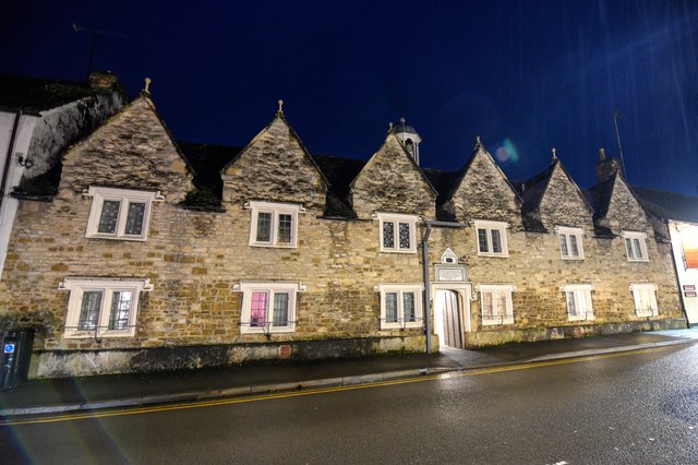
Wotton under Edge Friary
Wotton under Edge Friary was a friary of the Crutched Friars in Wotton-under-Edge, Gloucestershire, England. It was founded in 1347. == References ==

Wotton-under-Edge
Wotton-under-Edge is a market town and civil parish in the Stroud district of Gloucestershire, England. Near the southern fringe of the Cotswolds, the...
Nearby Amenities
Located within 500m of 51.641001,-2.3711935Have you been to Bradley Green?
Leave your review of Bradley Green below (or comments, questions and feedback).