Leschangie Moss

Downs, Moorland in Aberdeenshire

Scotland

Leschangie Moss

Minor road near Cottown
Minor road near Cottown Credit: Steven Brown

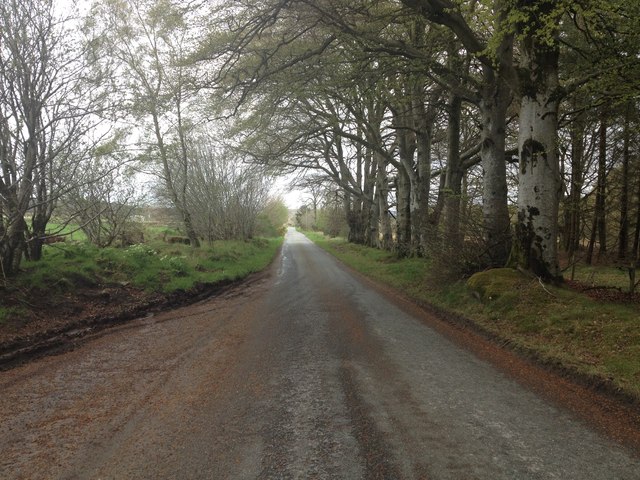
Leschangie Moss is a picturesque area located in Aberdeenshire, Scotland. Situated in the Downs region, it is known for its expansive moorlands and stunning natural beauty. Spanning over a vast area, Leschangie Moss is a haven for nature enthusiasts and those seeking tranquility away from the bustling city life.

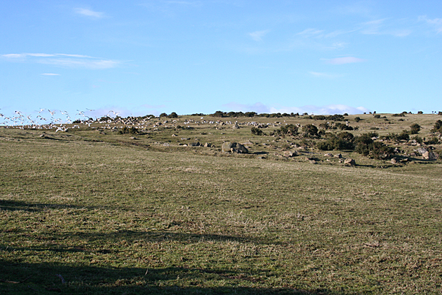
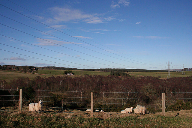
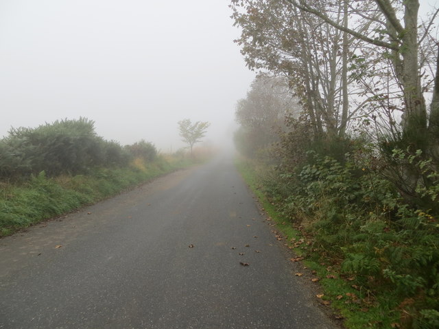
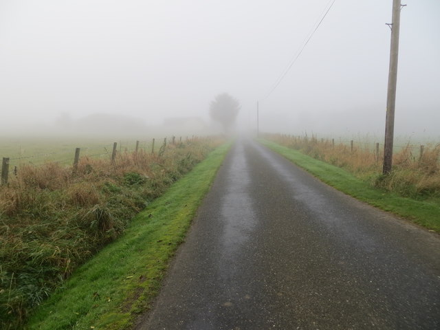
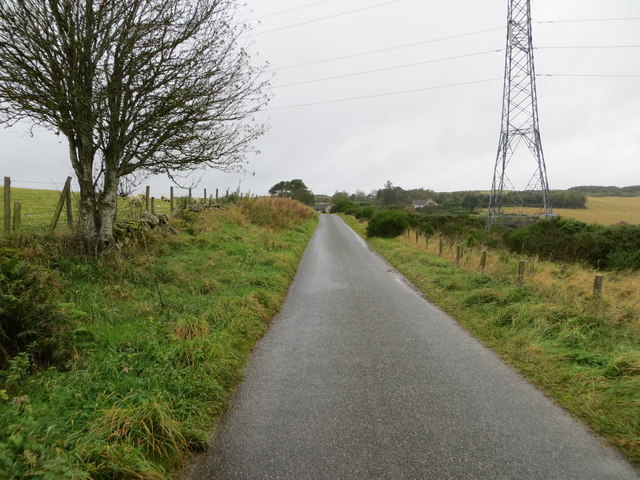
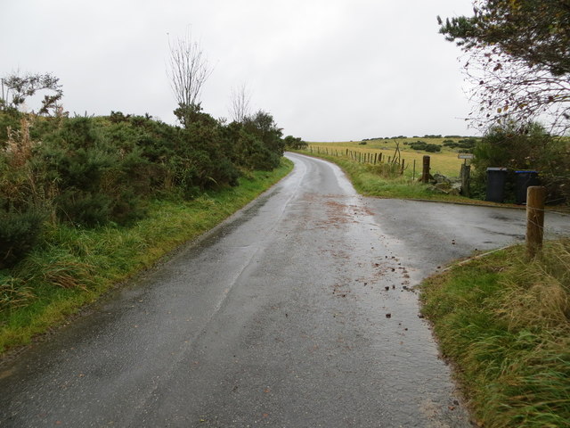
The moorlands of Leschangie Moss are characterized by their rolling hills, heather-covered landscapes, and scattered lochs, creating a diverse and captivating scenery. The area is home to a rich variety of flora and fauna, including heather, cotton grass, and various species of birds, making it a popular destination for birdwatchers and wildlife photographers.

The tranquil atmosphere of Leschangie Moss is perfect for outdoor activities such as hiking and walking. There are several well-marked trails that allow visitors to explore the area and take in the breathtaking views. The expansive open spaces also make it an ideal location for picnics and camping, with designated areas available for visitors to set up tents.

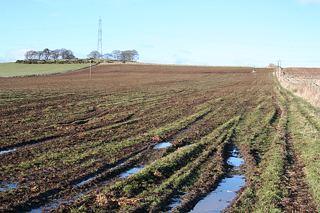
The weather in Leschangie Moss can be unpredictable, with frequent rain showers and strong winds. It is advisable to come prepared with appropriate clothing and footwear when visiting the area. Additionally, visitors should be aware of the importance of preserving the natural environment and follow any guidelines or restrictions in place to protect the delicate ecosystem.

Overall, Leschangie Moss in Aberdeenshire offers a unique and immersive experience for nature lovers, providing a peaceful retreat surrounded by the beauty of the Scottish moorlands.

If you have any feedback on the listing, please let us know in the comments section below.

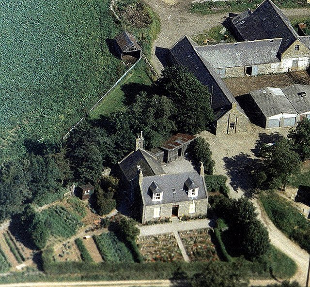
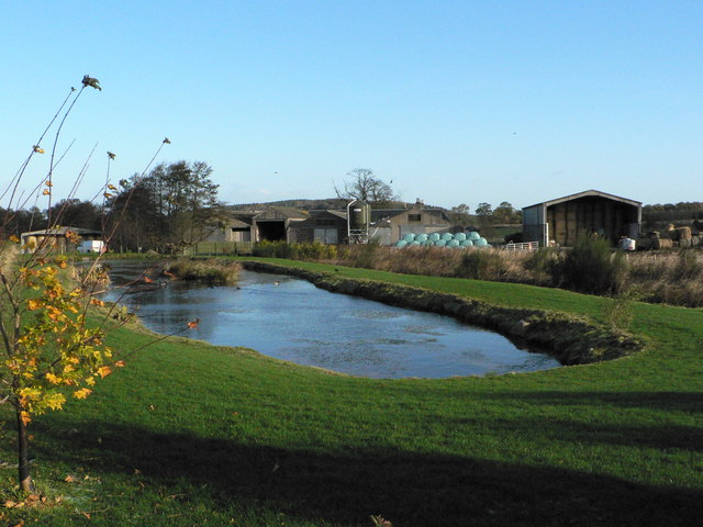
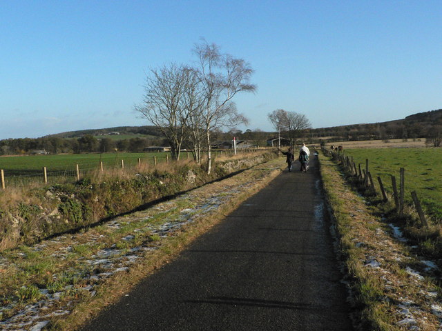
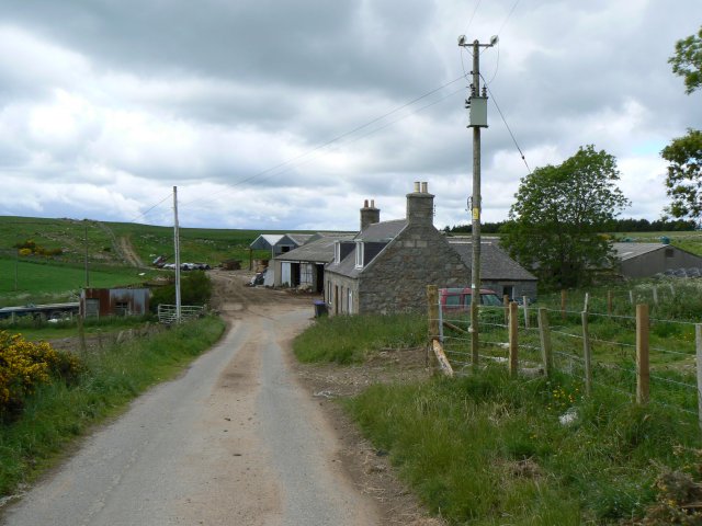
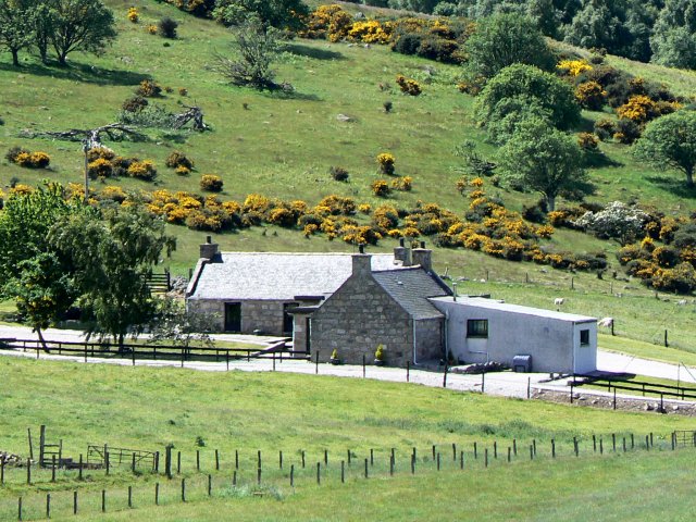
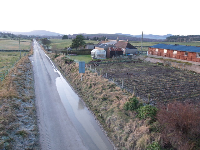
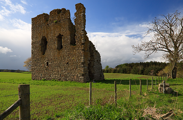
Leschangie Moss Images

Images are sourced within 2km of 57.215692/-2.4254806 or Grid Reference NJ7413. Thanks to Geograph Open Source API. All images are credited.

Minor road near Cottown
Stony Ground Small wonder that this bit of ground near Lauchintully is not cultivated, with all the scattered boulders and perhaps outcrops among the whins.
Stony Ground
Small wonder that this bit of ground near Lauchintully is not cultivated, with all the scattered boulders and perhaps outcrops among the whins.
Firley Moss Firley Moss is the wooded area on the far side of the river from here. The landscape is rather dominated by power lines.
Firley Moss
Firley Moss is the wooded area on the far side of the river from here. The landscape is rather dominated by power lines.
Wet and Frozen This is what farmers are having to contend with in this unusually wet winter. Fields, especially flattish or low-lying ones, are waterlogged and with temperatures close to freezing the wet patches are covered with thin ice.
Wet and Frozen
This is what farmers are having to contend with in this unusually wet winter. Fields, especially flattish or low-lying ones, are waterlogged and with temperatures close to freezing the wet patches are covered with thin ice.
Bogbeth Road disappearing into October mist near Leschangie Looking north-westward towards Kemnay.
Bogbeth Road disappearing into October mist near Leschangie
Looking north-westward towards Kemnay.
Minor road blanketed in October mist approaching Oatlands Looking south-westward in the direction of Leschangie.
Minor road blanketed in October mist approaching Oatlands
Looking south-westward in the direction of Leschangie.
Fence enclosed minor road near to Drumnaheath Looking westward.
Fence enclosed minor road near to Drumnaheath
Looking westward.
Minor road heading towards Lauchintilly Looking north-westward from the entrance to Titaboutie
Minor road heading towards Lauchintilly
Looking north-westward from the entrance to Titaboutie
War memorial In Kemnay, Aberdeenshire
War memorial
In Kemnay, Aberdeenshire
The road to Craigearn
Farmland in early Autumn, Aberdeenshire Looking towards Bennachie
Farmland in early Autumn, Aberdeenshire
Looking towards Bennachie
Tillybin Farmhouse in snow - December 1995
Tillybin in 1974
Tillybin in 1974
Duckpond at Greenmoss Farm
Aberdeenshire Farming Country
Lauchintilly Farm Farm south of Kemnay.
Lauchintilly Farm
Farm south of Kemnay.
Todfold Farm Seen from the adjacent square.
Todfold Farm
Seen from the adjacent square.
Ramshackle Dyke An untidy stone wall alongside the road to Leschangie.
Ramshackle Dyke
An untidy stone wall alongside the road to Leschangie.
Show me another place!

Leschangie Moss is located at Grid Ref: NJ7413 (Lat: 57.215692, Lng: -2.4254806)

Unitary Authority: Aberdeenshire

Police Authority: North East

What 3 Words

///compliant.extremely.gears. Near Kemnay, Aberdeenshire

Nearby Locations

Leschangie Moss

Related Wikis

Kemnay House

Kemnay House is a 17th-century tower house, now incorporated in a later house, about 5.5 miles (8.9 km) south and west of Inverurie, Aberdeenshire, Scotland...

Kemnay railway station

Kemnay railway station was a station on the Alford Valley Railway in Kemnay, Aberdeenshire, which opened in 1858 and closed in 1950. == References... ==

Kemnay, Aberdeenshire

Kemnay (Gaelic: Camnaidh) is a village 16 miles (26 km) west of Aberdeen in Garioch, Aberdeenshire, Scotland. == History == The village name Kemnay is...

Castle Fraser

Castle Fraser is the most elaborate Z-plan castle in Scotland and one of the grandest 'Castles of Mar'. It is located near Kemnay in the Aberdeenshire...

Kemnay Academy

Kemnay Academy is a secondary school in Kemnay, Aberdeenshire, situated on the banks of the River Don. It is one of seventeen secondary schools run by...

Aquithie

Aquithie is a hamlet in Aberdeenshire, Scotland, belonging to the parish of Kemnay. It is best known for its Aquithie Boarding & Quarantine Kennels....

Hallforest Castle

Hallforest Castle is a keep, one of the oldest in Scotland, as it dates from the 14th century. It is about a mile and a half from Kintore, in Aberdeenshire...

Fetternear Palace

Fetternear Bishop's Palace is an archaeological site of what was one of the palaces (or residences) of the medieval bishops of Aberdeen. It is near Kemnay...

Nearby Amenities

Located within 500m of 57.215692,-2.4254806
Power: pole
Lat/Long: 57.2140868/-2.4197146
Power: pole
Lat/Long: 57.2143729/-2.4210531
Power: pole
Lat/Long: 57.2150018/-2.4237916
Power: pole
Lat/Long: 57.2155784/-2.4263263
Power: pole
Lat/Long: 57.2154898/-2.4269217
Power: pole
Lat/Long: 57.2153678/-2.427603
Power: pole
Lat/Long: 57.2151586/-2.4288717
Power: pole
Lat/Long: 57.2150512/-2.4304059
Power: pole
Lat/Long: 57.2149379/-2.4320769
Power: pole
Lat/Long: 57.2160874/-2.4198255
Power: pole
Lat/Long: 57.2164819/-2.4204015
Power: pole
Lat/Long: 57.2168457/-2.4209425
Power: pole
Lat/Long: 57.2172379/-2.4213788
Power: pole
Lat/Long: 57.2166863/-2.4220879
Power: pole
Lat/Long: 57.2164961/-2.4233554
Power: pole
Lat/Long: 57.2163201/-2.4245553
Power: pole
Lat/Long: 57.2157784/-2.4281255
Power: pole
Lat/Long: 57.2160135/-2.4289611
Power: pole
Lat/Long: 57.2162297/-2.4297705
Power: pole
Lat/Long: 57.2164606/-2.4306584
Power: pole
Lat/Long: 57.2165705/-2.4317438
Power: pole
Lat/Long: 57.2166697/-2.4328324
Power: pole
Lat/Long: 57.2161305/-2.4258468
Power: pole
Lat/Long: 57.2159669/-2.4269529
Power: pole
Lat/Long: 57.2173377/-2.4203982
Power: pole
Lat/Long: 57.2180914/-2.4195135
The data included in this document is from www.openstreetmap.org. The data is made available under ODbL.

Have you been to Leschangie Moss?

Leave your review of Leschangie Moss below (or comments, questions and feedback).