Bradley Green

Settlement in Gloucestershire Stroud

England

Bradley Green

Cut Mark: Wotton-under-Edge, Long Street, Carlton House Cut bench mark on the frontage of the house.  See <a title="https://www.geograph.org.uk/photo/7070432" href="https://www.geograph.org.uk/photo/7070432">Link</a> for a wider view and <span class="nowrap"><a title="https://www.bench-marks.org.uk/bm59141" rel="nofollow ugc noopener" href="https://www.bench-marks.org.uk/bm59141">Link</a><img style="margin-left:2px;" alt="External link" title="External link - shift click to open in new window" src="https://s1.geograph.org.uk/img/external.png" width="10" height="10"/></span> for details of the mark.
Cut Mark: Wotton-under-Edge, Long Street, Carlton House Credit: Brian Westlake

Bradley Green is a small village located in the county of Gloucestershire, England. Situated in the South West region of the country, it lies approximately 8 miles south of the city of Gloucester and 12 miles north of Bristol. The village is nestled in a picturesque rural setting, surrounded by rolling hills and lush green countryside.

With a population of around 500 residents, Bradley Green has a close-knit community feel. The village consists of a mix of traditional stone cottages and newer housing developments, offering a range of accommodation options. The architecture reflects the rich history of the area, with some buildings dating back several centuries.

Bradley Green benefits from its proximity to the larger towns of Gloucester and Bristol, providing residents with access to a wider range of amenities and services. Additionally, the village is well-connected by road and public transport, making it easily accessible for commuters and visitors alike.

The village has a primary school, providing education for local children. There are also several community facilities, including a village hall and a recreation ground, which hosts various events and activities throughout the year. The nearby countryside offers ample opportunities for outdoor pursuits, such as hiking, cycling, and horse riding.

Overall, Bradley Green offers a charming rural lifestyle with convenient access to nearby urban centers. Its beautiful surroundings, strong community spirit, and range of amenities make it an attractive place to live or visit in Gloucestershire.

If you have any feedback on the listing, please let us know in the comments section below.

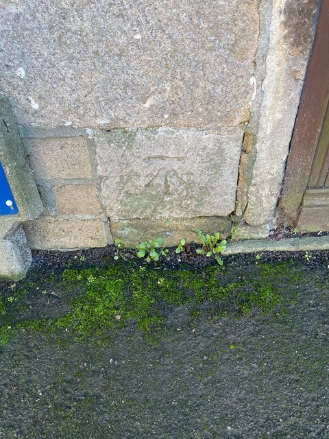
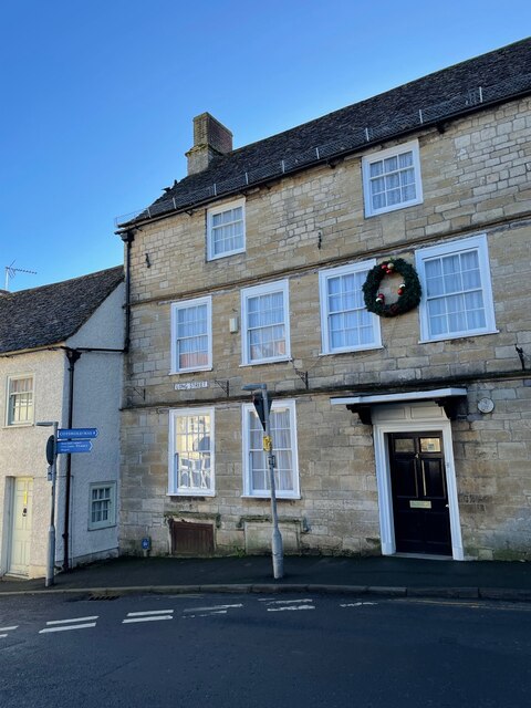
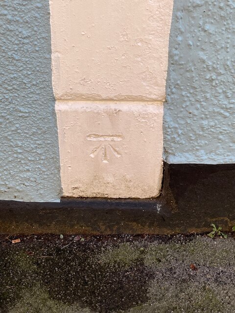
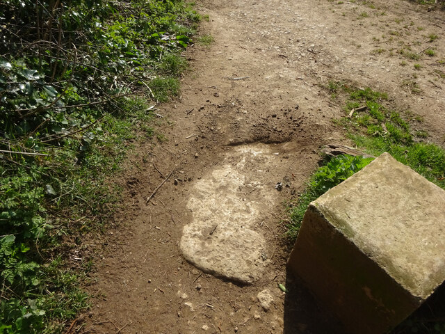
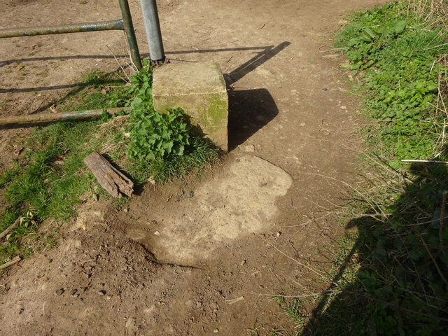
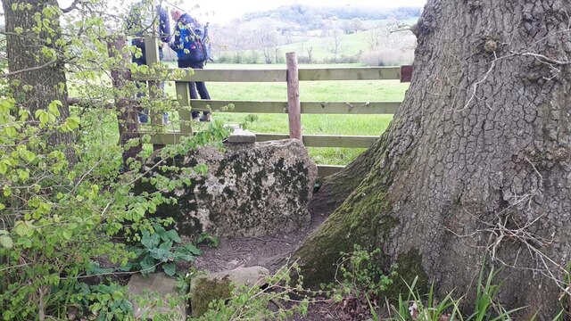
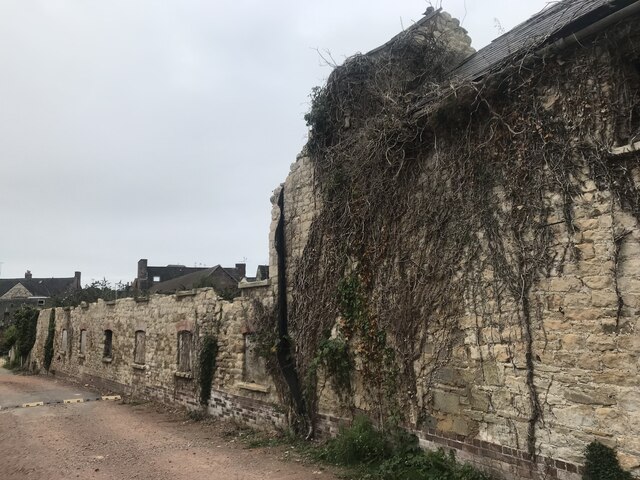
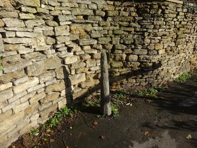
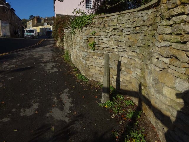
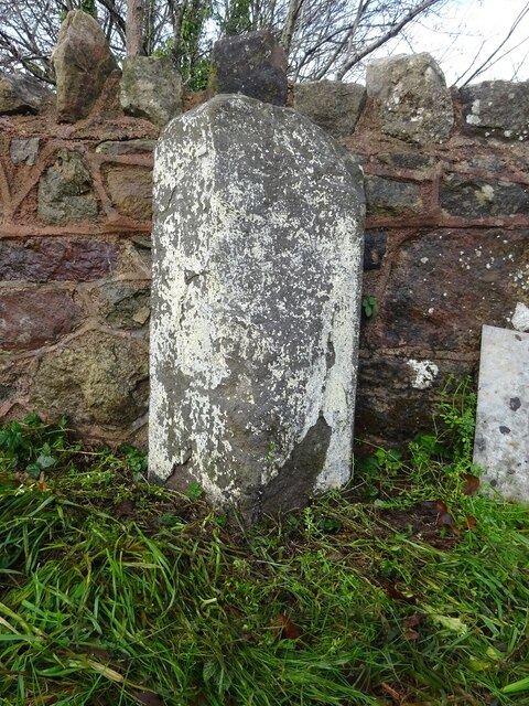
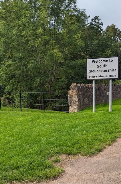
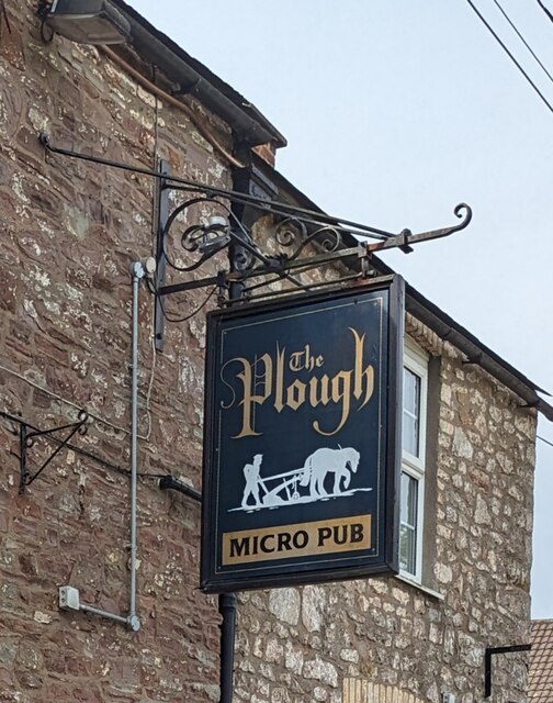
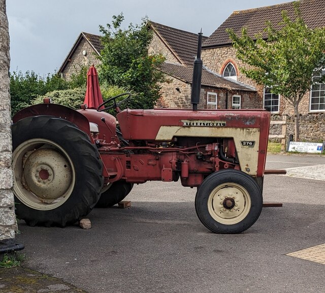
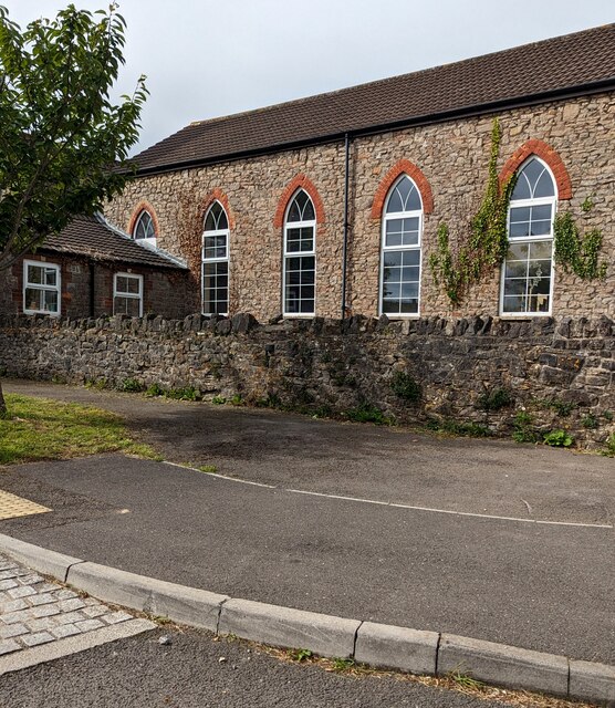
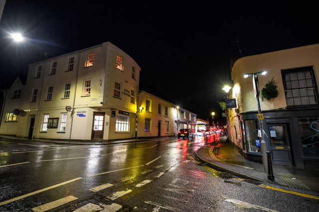
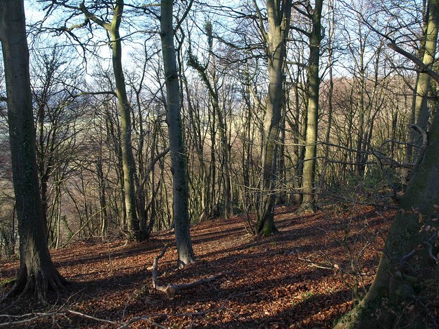
Bradley Green Images

Images are sourced within 2km of 51.638359/-2.3735273 or Grid Reference ST7493. Thanks to Geograph Open Source API. All images are credited.

Cut Mark: Wotton-under-Edge, Long Street, Carlton House Cut bench mark on the frontage of the house.  See <a title="https://www.geograph.org.uk/photo/7070432" href="https://www.geograph.org.uk/photo/7070432">Link</a> for a wider view and <span class="nowrap"><a title="https://www.bench-marks.org.uk/bm59141" rel="nofollow ugc noopener" href="https://www.bench-marks.org.uk/bm59141">Link</a><img style="margin-left:2px;" alt="External link" title="External link - shift click to open in new window" src="https://s1.geograph.org.uk/img/external.png" width="10" height="10"/></span> for details of the mark.
Cut Mark: Wotton-under-Edge, Long Street, Carlton House
Cut bench mark on the frontage of the house. See Link for a wider view and LinkExternal link for details of the mark.
Carlton House, Long Street There is a cut bench mark on the frontage of the house.  See <a title="https://www.geograph.org.uk/photo/7070429" href="https://www.geograph.org.uk/photo/7070429">Link</a> for a wider view and <span class="nowrap"><a title="https://www.bench-marks.org.uk/bm59141" rel="nofollow ugc noopener" href="https://www.bench-marks.org.uk/bm59141">Link</a><img style="margin-left:2px;" alt="External link" title="External link - shift click to open in new window" src="https://s1.geograph.org.uk/img/external.png" width="10" height="10"/></span> for details of the mark.
Carlton House, Long Street
There is a cut bench mark on the frontage of the house. See Link for a wider view and LinkExternal link for details of the mark.
Cut Mark: Wotton-under-Edge, Orchard Street / Long Street Cut mark on the Orchard Street face of a building on the corner of Orchard Street and Long Street.  See <span class="nowrap"><a title="https://www.bench-marks.org.uk/bm102245" rel="nofollow ugc noopener" href="https://www.bench-marks.org.uk/bm102245">Link</a><img style="margin-left:2px;" alt="External link" title="External link - shift click to open in new window" src="https://s1.geograph.org.uk/img/external.png" width="10" height="10"/></span> for details of the mark.
Cut Mark: Wotton-under-Edge, Orchard Street / Long Street
Cut mark on the Orchard Street face of a building on the corner of Orchard Street and Long Street. See LinkExternal link for details of the mark.
Stone Stile, Wotton-under-Edge A stone slab from the stile, now a "Fallen Idle". On Gloucestershire bridleway CWE95 looking South, the view looking North is <a href="https://www.geograph.org.uk/photo/7127050">ST7594 : Stone Stile, Wotton-under-Edge</a>.
Stone Stile, Wotton-under-Edge
A stone slab from the stile, now a "Fallen Idle". On Gloucestershire bridleway CWE95 looking South, the view looking North is ST7594 : Stone Stile, Wotton-under-Edge.
Stone Stile, Wotton-under-Edge A stone slab from the stile, now a "Fallen Idle". On Gloucestershire bridleway CWE95 looking North, the view looking South is <a href="https://www.geograph.org.uk/photo/7127049">ST7594 : Stone Stile, Wotton-under-Edge</a>.
Stone Stile, Wotton-under-Edge
A stone slab from the stile, now a "Fallen Idle". On Gloucestershire bridleway CWE95 looking North, the view looking South is ST7594 : Stone Stile, Wotton-under-Edge.
Stone Stile, North Nibley At the junction of  Gloucestershire footpaths CNN48, CNN49 & CNN25 near Daisy Farm.
Stone Stile, North Nibley
At the junction of Gloucestershire footpaths CNN48, CNN49 & CNN25 near Daisy Farm.
Derelict buildings
Derelict buildings
Stone Stile, Wotton under Edge A gatepost and squeeze stile on Gloucestershire footpath CWE90 looking East. It would allow people to pass but not horses or cattle. Sheep might have been able to traverse. There was originally a gate at this point. The alternative view looking NW is <a href="https://www.geograph.org.uk/photo/7349021">ST7593 : Stone Stile, Wotton under Edge</a>.
Stone Stile, Wotton under Edge
A gatepost and squeeze stile on Gloucestershire footpath CWE90 looking East. It would allow people to pass but not horses or cattle. Sheep might have been able to traverse. There was originally a gate at this point. The alternative view looking NW is ST7593 : Stone Stile, Wotton under Edge.
Stone Stile, Wotton under Edge A gatepost and squeeze stile on Gloucestershire footpath CWE90 looking NW. It would allow people to pass but not horses or cattle. Sheep might have been able to traverse. There was originally a gate at this point. The alternative view looking East is <a href="https://www.geograph.org.uk/photo/7349020">ST7593 : Stone Stile, Wotton under Edge</a>.
Stone Stile, Wotton under Edge
A gatepost and squeeze stile on Gloucestershire footpath CWE90 looking NW. It would allow people to pass but not horses or cattle. Sheep might have been able to traverse. There was originally a gate at this point. The alternative view looking East is ST7593 : Stone Stile, Wotton under Edge.
Old Boundary Stone, Charfield/Kingswood In the centre of the North side of Watsome Bridge on the Wotton Road, B4058. It marks the ancient and current boundary of Charfield and Kingswood (Gloucestershire) parishes, also on the modern boundary between Gloucestershire county and South Gloucestershire unitary authority. It is triangular in cross-section, fairly typical of this area. Kingswood was formerly a detached part of Wiltshire that was incorporated into Gloucestershire by the Counties (Detached Parts) Act 1844.

Milestone Society National ID: GL_CHAKIN01pb
Old Boundary Stone, Charfield/Kingswood
In the centre of the North side of Watsome Bridge on the Wotton Road, B4058. It marks the ancient and current boundary of Charfield and Kingswood (Gloucestershire) parishes, also on the modern boundary between Gloucestershire county and South Gloucestershire unitary authority. It is triangular in cross-section, fairly typical of this area. Kingswood was formerly a detached part of Wiltshire that was incorporated into Gloucestershire by the Counties (Detached Parts) Act 1844. Milestone Society National ID: GL_CHAKIN01pb
Welcome to South Gloucestershire - Please drive carefully Alongside the B4058 Wotton Road viewed from Gloucestershire in July 2023.
South Gloucestershire was created in 1996 to replace the Northavon district
of the abolished county of Avon. It is separate from Gloucestershire County 
Council but remains part of the ceremonial county and shares Gloucestershire's 
Lord Lieutenant (the Sovereign's representative to the county).
Welcome to South Gloucestershire - Please drive carefully
Alongside the B4058 Wotton Road viewed from Gloucestershire in July 2023. South Gloucestershire was created in 1996 to replace the Northavon district of the abolished county of Avon. It is separate from Gloucestershire County Council but remains part of the ceremonial county and shares Gloucestershire's Lord Lieutenant (the Sovereign's representative to the county).
SSE along Cowslip Way, Charfield, South Gloucestershire Viewed from the B4058 Wotton Road junction.
SSE along Cowslip Way, Charfield, South Gloucestershire
Viewed from the B4058 Wotton Road junction.
Cowslip Way name sign, Charfield, South Gloucestershire Facing the B4058 Wotton Road.
Cowslip Way name sign, Charfield, South Gloucestershire
Facing the B4058 Wotton Road.
The Plough name sign, Wotton Road, Charfield, South Gloucestershire In July 2023 the sign shows that the Plough is a micro pub.
The Plough name sign, Wotton Road, Charfield, South Gloucestershire
In July 2023 the sign shows that the Plough is a micro pub.
Old tractor outside the Plough, Charfield, South Gloucestershire Outside the Plough micro pub in July 2023.
Old tractor outside the Plough, Charfield, South Gloucestershire
Outside the Plough micro pub in July 2023.
East side of Charfield Congregational Church, South Gloucestershire Viewed across Kings Meadow from the corner of the B4058 Wotton Road in July 2023.
East side of Charfield Congregational Church, South Gloucestershire
Viewed across Kings Meadow from the corner of the B4058 Wotton Road in July 2023.
Charfield Congregational Church nameboard Facing the B4058 Wotton Road in Charfield, South Gloucestershire.
Charfield Congregational Church nameboard
Facing the B4058 Wotton Road in Charfield, South Gloucestershire.
Wotton-Under-Edge : Bear Street Looking along Bear Street from the road junction.
Wotton-Under-Edge : Bear Street
Looking along Bear Street from the road junction.
Show me another place!

Bradley Green is located at Grid Ref: ST7493 (Lat: 51.638359, Lng: -2.3735273)

Administrative County: Gloucestershire

District: Stroud

Police Authority: Gloucestershire

What 3 Words

///gazette.lifestyle.sting. Near Kingswood, Gloucestershire

Related Wikis

Bournstream

Bournstream is a village located in Gloucestershire, England.

Bradley, Gloucestershire

Bradley is a small village in the Stroud District, in the county of Gloucestershire, England.Also part of the village is the hamlet of Bradley Green, with...

Katharine Lady Berkeley's School

Katharine Lady Berkeley's School is an academy school near Wotton-under-Edge, Gloucestershire, England, for ages 11 to 18. == History == The school was...
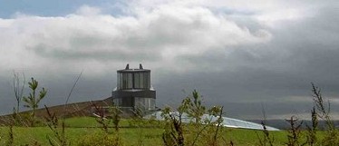
Swinhay House

Swinhay House is a futuristic building built for David McMurtry, an industrialist, in North Nibley near Wotton-under-Edge, Gloucestershire. == History... ==

Wotton-under-Edge Town Hall

Wotton-under-Edge Town Hall is a municipal building in Market Street, Wotton-under-Edge, Gloucestershire, England. The structure, which operates as a community...

Kingswood Abbey

Kingswood Abbey was a Cistercian abbey, located in the village of Kingswood near Wotton-under-Edge, Gloucestershire, England. The abbey was demolished...

Wotton Hill

Wotton Hill (grid reference ST753942) is a hill on the edge of the Cotswold Hills in Gloucestershire, England, 0.5 miles (0.80 km) north of Wotton-under...

Kingswood, Stroud District

Kingswood is a town and civil parish within the Stroud district of Gloucestershire, England. It is southwest of Wotton-under-Edge and has a population...

Nearby Amenities

Located within 500m of 51.638359,-2.3735273
Abandoned Amenity: post_box
Collection Times: Mo-Fr 09:00; Sa 07:00
Note: Checked 2023-04-04, postbox removed completely. No trace remains
Operator: Royal Mail
Post Box Type: wall
Ref: GL12 354
Royal Cypher: GR
Lat/Long: 51.6346554/-2.3753252
Post Box
Check Date Collection Times: 2023-01-24
Collection Times: Mo-Fr 09:00, Sa 07:00
Operator: Royal Mail
Post Box Type: lamp
Ref: GL12 194
Royal Cypher: EIIR
Royal Cypher Wikidata: Q33102113
Lat/Long: 51.6414962/-2.3691129
Barrier: stile
Material: wood
Stile: stepover
Lat/Long: 51.6356865/-2.3765839
Barrier: kissing_gate
Lat/Long: 51.6386869/-2.3684802
Barrier: stile
Lat/Long: 51.6363876/-2.3777725
Traffic Calming: hump
Lat/Long: 51.6363558/-2.3797438
Crossing
Lat/Long: 51.6363451/-2.3793218
Crossing
Lat/Long: 51.6352812/-2.3785536
Crossing
Lat/Long: 51.635233/-2.3786628
Access: private
Entrance: yes
Lat/Long: 51.6356935/-2.3791699
Bradley Green
Place: hamlet
Lat/Long: 51.639416/-2.371037
Barrier: kissing_gate
Lat/Long: 51.639995/-2.3761584
Barrier: stile
Material: wood
Step Count: 1
Stile: stepover
Lat/Long: 51.634905/-2.3752511
Barrier: kissing_gate
Lat/Long: 51.6389369/-2.3793835
Material: wood
Power: pole
Lat/Long: 51.6340887/-2.3745518
Material: wood
Power: pole
Lat/Long: 51.6345688/-2.37506
Material: wood
Power: pole
Lat/Long: 51.6349132/-2.3756068
Location Transition: yes
Material: wood
Power: pole
Lat/Long: 51.6354614/-2.3780796
Material: wood
Power: pole
Lat/Long: 51.6355878/-2.3767082
Material: wood
Power: pole
Lat/Long: 51.6356754/-2.3755601
Material: wood
Power: pole
Lat/Long: 51.6358698/-2.3734022
Material: wood
Power: pole
Lat/Long: 51.6359673/-2.3722842
Material: wood
Power: pole
Lat/Long: 51.6360952/-2.3707428
Material: wood
Power: pole
Lat/Long: 51.6360916/-2.3696297
Material: wood
Power: pole
Lat/Long: 51.6360841/-2.368471
Material: wood
Power: pole
Lat/Long: 51.6360707/-2.36737
Material: wood
Power: pole
Lat/Long: 51.6386502/-2.3663019
Noexit: yes
Lat/Long: 51.6403372/-2.3721738
Noexit: yes
Lat/Long: 51.6402815/-2.3715274
Noexit: yes
Lat/Long: 51.641028/-2.3722315
Barrier: stile
Lat/Long: 51.6372119/-2.3734827
Barrier: cycle_barrier
Bicycle: yes
Cycle Barrier: diagonal
Cycle Barrier Installation: fixed
Wheelchair: yes
Lat/Long: 51.6349597/-2.3691999
Barrier: entrance
Lat/Long: 51.6398257/-2.371458
Power: pole
Transformer: distribution
Lat/Long: 51.6383309/-2.373291
Defibrillator
Access: yes
Addr Postcode: GL12 8JP
Defibrillator Location: Outdoors, next to the track on the wall
Emergency: defibrillator
Indoor: no
Opening Hours: 24/7
Lat/Long: 51.6346024/-2.3752022
Barrier: cycle_barrier
Bicycle: no
Cycle Barrier: double
Cycle Barrier Installation: fixed
Wheelchair: no
Lat/Long: 51.6349833/-2.3692073
Barrier: entrance
Lat/Long: 51.6349508/-2.3732876
Noexit: yes
Lat/Long: 51.6345501/-2.3754189
Noexit: yes
Lat/Long: 51.6345398/-2.3754618
Barrier: kerb
Kerb: raised
Tactile Paving: no
Wheelchair: no
Lat/Long: 51.6349925/-2.3692533
Bicycle Parking
Access: private
Bicycle Parking: wall_loops
Capacity: 10
Covered: yes
Operator: Renishaw
Supervised: no
Lat/Long: 51.6362998/-2.379278
Access: private
Barrier: stile
Stile: stepover
Vehicle: no
Lat/Long: 51.6345279/-2.3758815
Barrier: kerb
Tactile Paving: no
Wheelchair: limited
Lat/Long: 51.6347737/-2.3778812
Motorcycle Parking
Access: private
Capacity: 20
Covered: yes
Lit: yes
Motorcycle Parking: covered
Motorcycle Parking: floor
Operator: Renishaw
Lat/Long: 51.6363753/-2.3794593
Charging Station
Access: private
Authentication None: yes
Bicycle: yes
Fee: no
Indoor: yes
Motorcar: no
Motorcycle: yes
Operator: Renishaw
Scooter: yes
Small Electric Vehicle: yes
Socket Bs1363: 6
Socket Domestic: 6
Truck: no
Lat/Long: 51.6364144/-2.3794602
Bicycle Parking
Access: private
Bicycle Parking: wall_loops
Capacity: 8
Capacity Cargo Bike: 8
Covered: yes
Lit: yes
Operator: Renishaw
Supervised: no
Lat/Long: 51.636415/-2.3793965
Access: private
Backrest: no
Covered: no
Leisure: picnic_table
Material: wood
Lat/Long: 51.6357177/-2.3790831
Access: private
Backrest: no
Covered: no
Leisure: picnic_table
Material: wood
Lat/Long: 51.6357453/-2.3791296
Generator Source: diesel
Generator Type: reciprocating_engine
Operator: Renishaw
Power: generator
Lat/Long: 51.635788/-2.3791922
Access: private
Entrance: service
Lat/Long: 51.6357845/-2.379031
Barrier: stile
Lat/Long: 51.6364063/-2.3777965
Waste Basket
Waste: dog_excrement;trash
Lat/Long: 51.635027/-2.369102
Camera Mount: pole
Camera Type: fixed
Man Made: surveillance
Operator: Bradley Farm
Surveillance: public
Surveillance Type: camera
Lat/Long: 51.6410461/-2.3719682
Camera Type: dome
Man Made: surveillance
Operator: Bradley Farm
Surveillance: public
Surveillance Type: camera
Lat/Long: 51.6412651/-2.3717455
Camera Mount: wall
Camera Type: fixed
Man Made: surveillance
Operator: Bradley Farm
Surveillance: public
Surveillance Type: camera
Lat/Long: 51.6409428/-2.3717967
Information: guidepost
Tourism: information
Lat/Long: 51.6413303/-2.37079
Waste Basket
Waste: dog_excrement;trash
Lat/Long: 51.636293/-2.3793668
Grit Bin
Seasonal: no
Lat/Long: 51.6363266/-2.3793757
Give Way
Direction: forward
Lat/Long: 51.6363851/-2.3796871
The data included in this document is from www.openstreetmap.org. The data is made available under ODbL.

Have you been to Bradley Green?

Leave your review of Bradley Green below (or comments, questions and feedback).