Bradley in the Moors
Settlement in Staffordshire Staffordshire Moorlands
England
Bradley in the Moors
Bradley in the Moors is a small village located in the county of Staffordshire, England. Situated amidst the beautiful and picturesque landscape of the Staffordshire Moorlands, the village is known for its tranquil and rural surroundings.
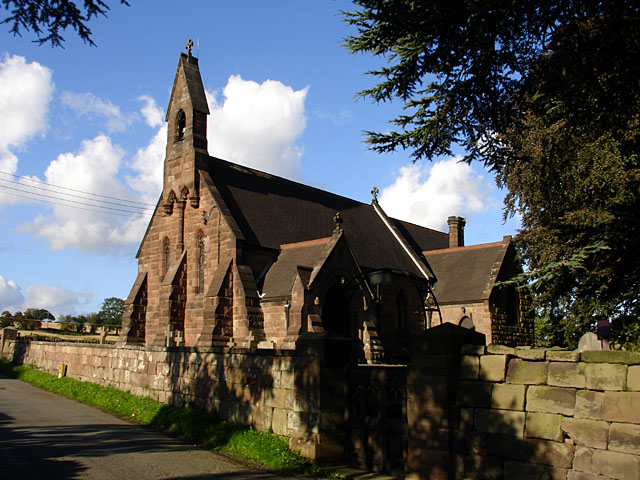
Bradley in the Moors is a close-knit community with a population of around 500 residents. The village is characterized by its traditional stone houses and cottages, which give it a charming and timeless appeal. The area also boasts a number of historic buildings, including the Grade II listed All Saints Church, which dates back to the 13th century.
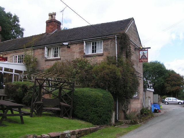
Despite its small size, Bradley in the Moors offers a range of amenities and facilities for its residents. The village has a primary school, providing education for the local children, as well as a community center that serves as a hub for various activities and events. Additionally, there is a village pub, providing a gathering place for locals and visitors alike.
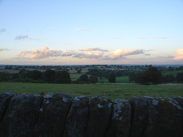
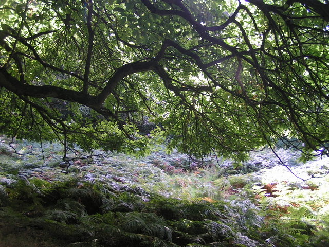
The surrounding countryside is a haven for nature lovers and outdoor enthusiasts. Bradley in the Moors is located near the edge of the Peak District National Park, offering opportunities for hiking, cycling, and exploring the stunning natural beauty of the area. The village is also close to several reservoirs, providing opportunities for fishing and boating.
Overall, Bradley in the Moors is a charming and idyllic village that offers a peaceful and scenic lifestyle for its residents. Its rich history, beautiful surroundings, and strong sense of community make it a truly special place to live or visit in Staffordshire.
If you have any feedback on the listing, please let us know in the comments section below.
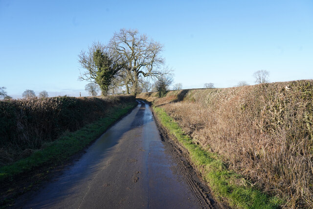
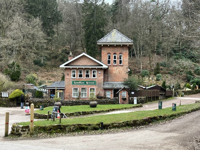
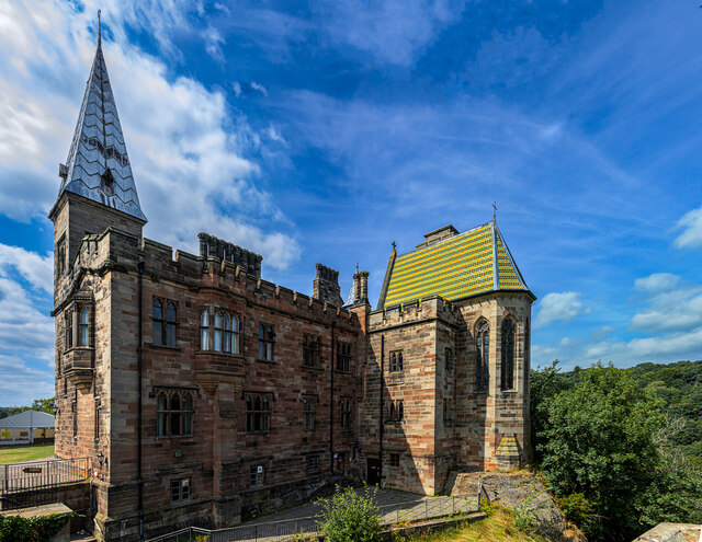
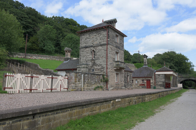
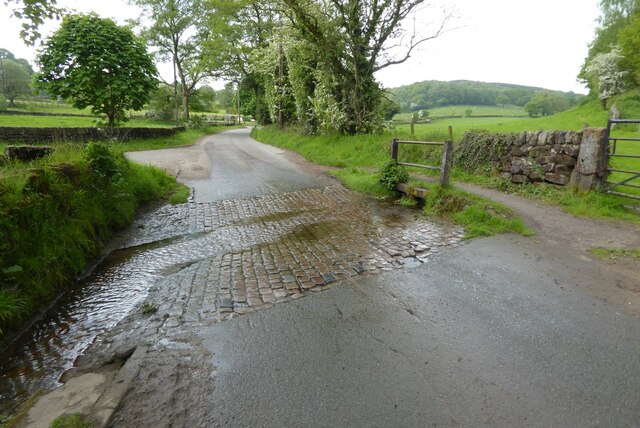
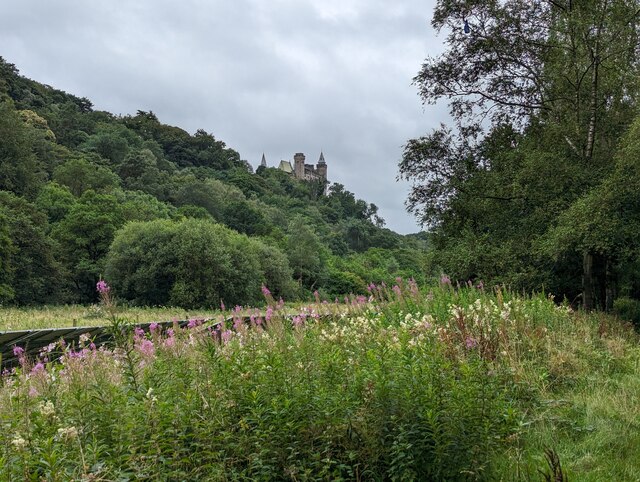
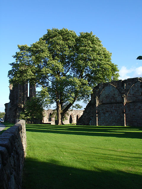
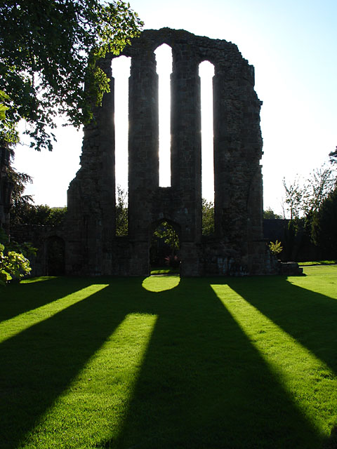
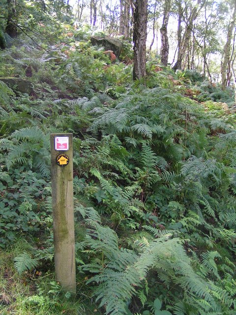
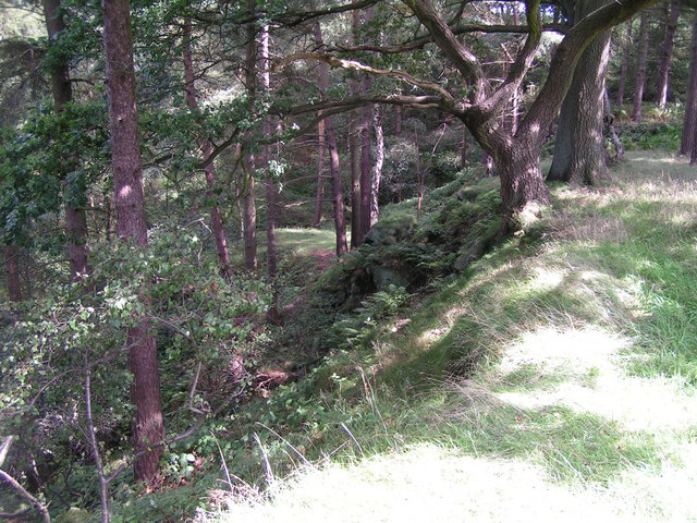
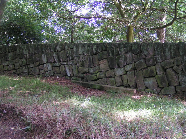
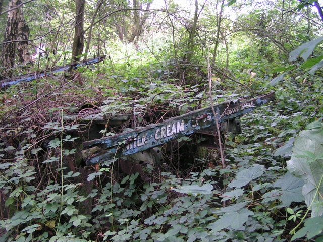
Bradley in the Moors Images
Images are sourced within 2km of 52.968469/-1.913606 or Grid Reference SK0541. Thanks to Geograph Open Source API. All images are credited.

Bradley in the Moors is located at Grid Ref: SK0541 (Lat: 52.968469, Lng: -1.913606)
Administrative County: Staffordshire
District: Staffordshire Moorlands
Police Authority: Staffordshire
What 3 Words
///waged.sisters.villa. Near Cheadle, Staffordshire
Nearby Locations
Related Wikis

Bradley in the Moors
Bradley in the Moors is a village and former civil parish, now in the parish of Alton, in the Staffordshire Moorlands district, in the county of Staffordshire...

Farley, Staffordshire
Farley is a hamlet and civil parish in the Staffordshire Moorlands district, in the English county of Staffordshire. It is near to the villages of Alton...

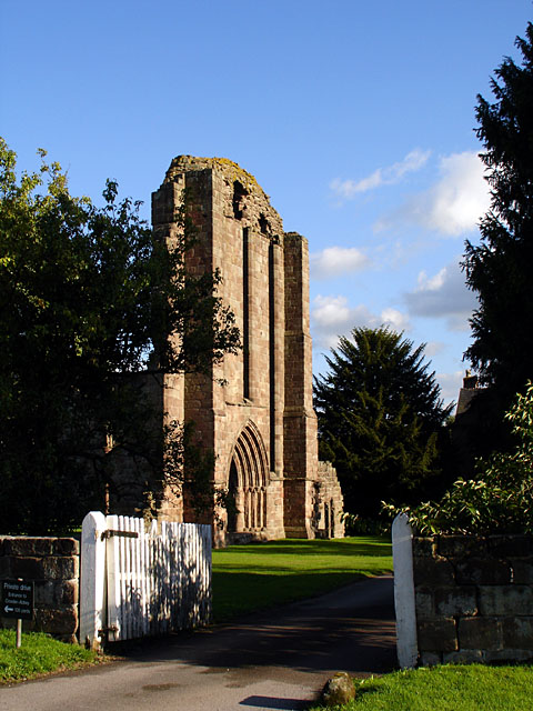
Croxden Abbey
Croxden Abbey, also known as "Abbey of the Vale of St. Mary at Croxden", was a Cistercian abbey at Croxden, Staffordshire, United Kingdom. A daughter house...
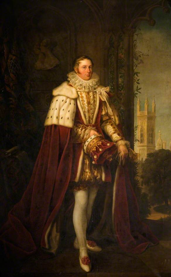
John Talbot, 16th Earl of Shrewsbury
John Talbot, 16th Earl of Shrewsbury, 16th Earl of Waterford (18 March 1791 – 9 November 1852) was a British peer and aristocrat. Sometimes known as "Good...
Nearby Amenities
Located within 500m of 52.968469,-1.913606Have you been to Bradley in the Moors?
Leave your review of Bradley in the Moors below (or comments, questions and feedback).