Bentley Moss
Downs, Moorland in Lancashire Rossendale
England
Bentley Moss
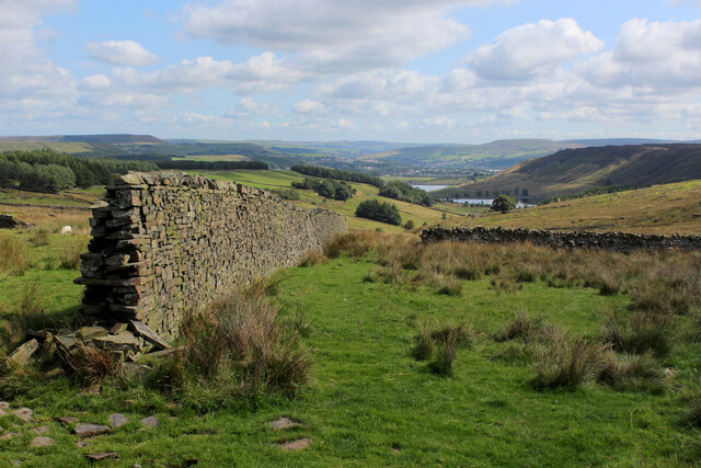
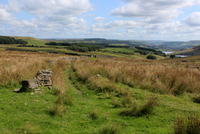
Bentley Moss, located in Lancashire, England, is a picturesque area known for its stunning downs and moorland landscapes. Situated in the heart of the county, Bentley Moss offers visitors a unique and diverse natural environment.
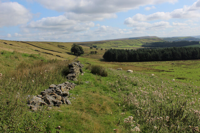
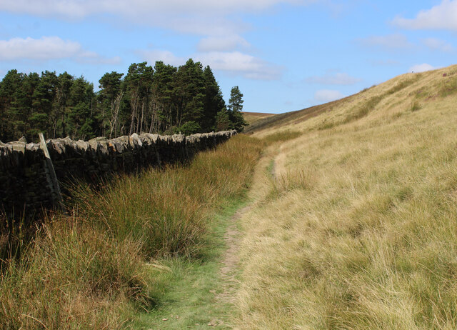
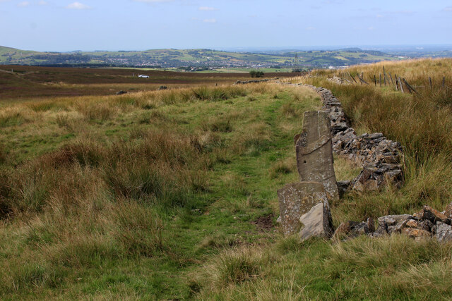
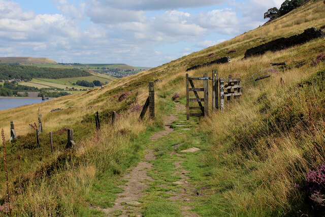
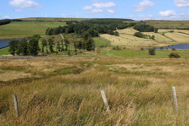
The downs of Bentley Moss are characterized by rolling hills covered in lush green grass, providing a perfect setting for leisurely walks and picnics. The area boasts breathtaking views of the surrounding countryside, with farmland and meadows stretching as far as the eye can see. These downs are a haven for outdoor enthusiasts, offering opportunities for hiking, horseback riding, and cycling.
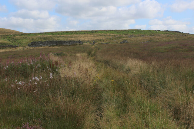
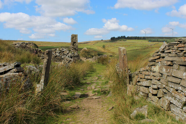
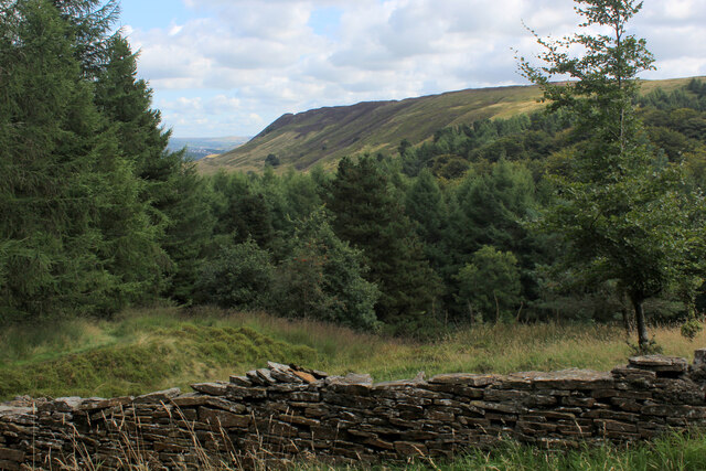
Adjacent to the downs, the moorland of Bentley Moss provides a contrasting landscape with its rugged and wild terrain. Blanketed with heather and bracken, the moorland offers a sense of untamed beauty. This area is home to a variety of wildlife, including rare bird species such as the golden plover and merlin. Visitors can enjoy birdwatching, nature photography, or simply immerse themselves in the tranquility of the moors.
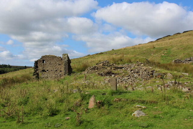
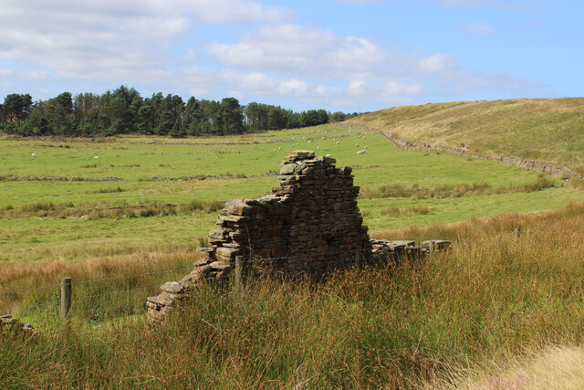
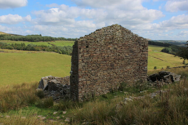
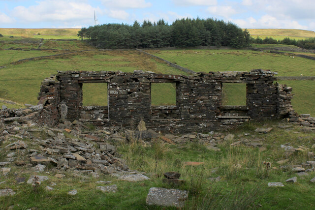
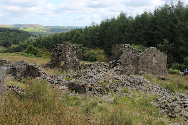
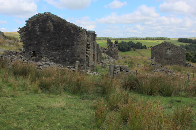
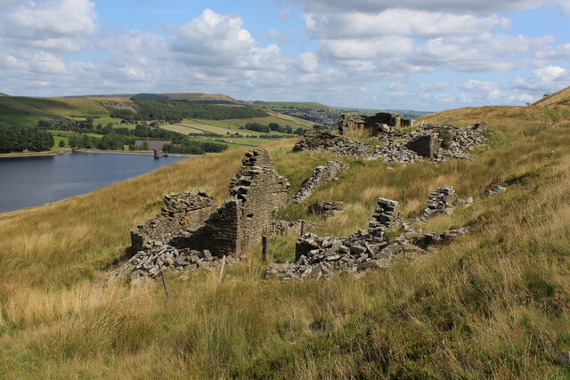
Bentley Moss is also steeped in history, with evidence of human habitation dating back centuries. The area is dotted with ancient ruins, stone circles, and burial mounds, providing a glimpse into the region's rich past. History enthusiasts can explore these archaeological sites and learn about the fascinating stories they hold.
In summary, Bentley Moss, Lancashire, is a captivating destination renowned for its downs and moorland landscapes. Whether it's nature lovers seeking outdoor adventures or history buffs exploring ancient sites, this area has something to offer for everyone.
If you have any feedback on the listing, please let us know in the comments section below.
Bentley Moss Images
Images are sourced within 2km of 53.690639/-2.3832663 or Grid Reference SD7421. Thanks to Geograph Open Source API. All images are credited.
Bentley Moss is located at Grid Ref: SD7421 (Lat: 53.690639, Lng: -2.3832663)
Administrative County: Lancashire
District: Rossendale
Police Authority: Lancashire
What 3 Words
///unhelpful.dribble.jeering. Near Haslingden, Lancashire
Nearby Locations
Related Wikis

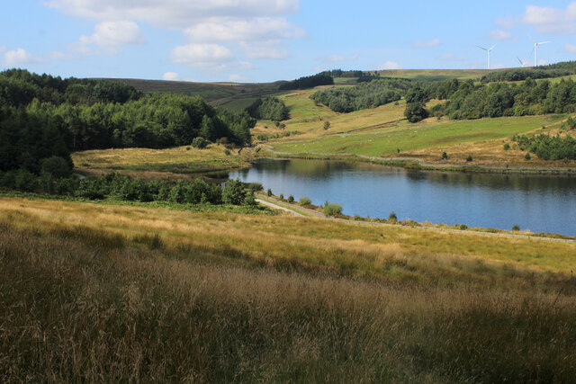
Calf Hey Reservoir
Calf Hey Reservoir is a reservoir in Haslingden Grane, close to the town of Haslingden, in the Borough of Rossendale, England. It was the first of three...

Haslingden Grane
Haslingden Grane is the glaciated upper portion of the valley of the River Ogden, which lies west of Haslingden and is in the north east section of the...

Musbury Valley
The Musbury Valley is a small valley in the Helmshore area of Rossendale Valley, Lancashire. Musbury Brook flows through its length, and its south side...

Yate and Pickup Bank
Yate and Pickup Bank is a civil parish in the borough of Blackburn with Darwen, Lancashire, England. The population of the civil parish taken at the census...

Musbury Tor
Musbury Tor or Tor Hill is a flat-topped hill in south-east Lancashire, England. It overlooks the village of Helmshore and separates Alden Valley to its...

Alden Valley
The Alden Valley is a small valley on the eastern edge of the West Pennine Moors, west of Helmshore in Rossendale, Lancashire, England. In the 14th century...

Helmshore Mills Textile Museum
Helmshore Mills are two mills built on the River Ogden in Helmshore, Lancashire. Higher Mill was built in 1796 for William Turner, and Whitaker's Mill...
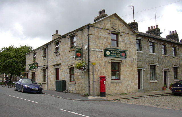
Hoddlesden
Hoddlesden is a village in the borough of Blackburn with Darwen, in Lancashire, England. The village population at the 2011 census was 1,239. It is in...
Related Videos
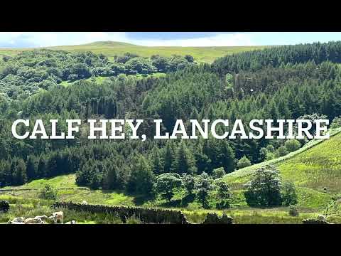
Hiking in Lancashire
A short hike at Calf Hey Reservoir, near Haslingden, Lancashire.
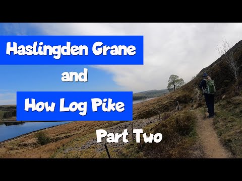
Walk: Haslingden Grane / How Log Pike - Part Two
In this video we continue trying to follow two of the AA's 50 Walks in Lancashire & Cheshire; The Deserted Valley of Haslingden ...

Troy Quarry and surroundings (Rossendale) 08/20
Greater Manchester UK Hike In the usual Greater Manchester weather, grim grey skies and of course rain.

Causeway Height
A cheeky donder along the Rosendale Way, over Haslingden Grane onto Causeway Height.
Nearby Amenities
Located within 500m of 53.690639,-2.3832663Have you been to Bentley Moss?
Leave your review of Bentley Moss below (or comments, questions and feedback).