Mells Down
Downs, Moorland in Somerset Mendip
England
Mells Down

Mells Down, located in Somerset, England, is a picturesque area characterized by its beautiful downs and moorland. It is renowned for its stunning landscapes, diverse wildlife, and rich history.
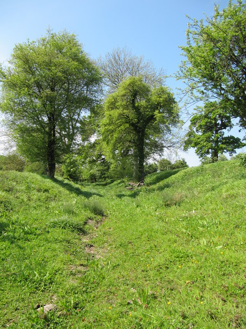
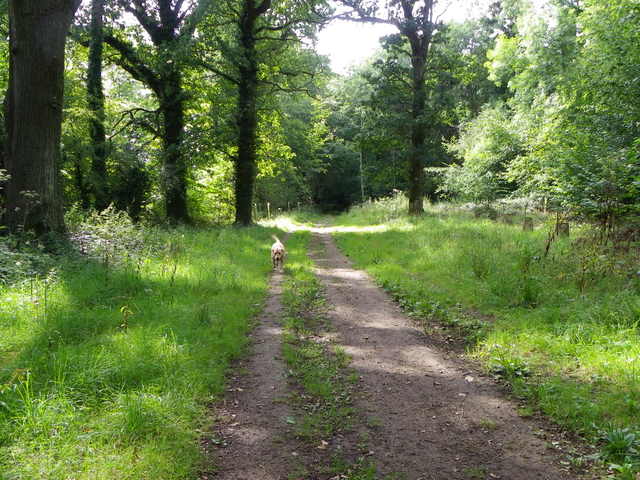
The downs in Mells Down offer breathtaking views of the surrounding countryside. These rolling hills are covered with lush green grass and interspersed with small patches of woodland. Walking along the downs, visitors can enjoy the tranquility of the area while admiring the natural beauty that surrounds them.
The moorland in Mells Down is another notable feature, providing a unique and diverse habitat for various plant and animal species. The moors are characterized by open expanses of heather and gorse, creating a vibrant purple and yellow color palette during the flowering season. The moorland is also home to a variety of bird species, including buzzards, kestrels, and skylarks, making it an ideal spot for birdwatching enthusiasts.
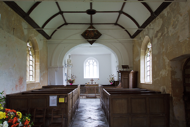
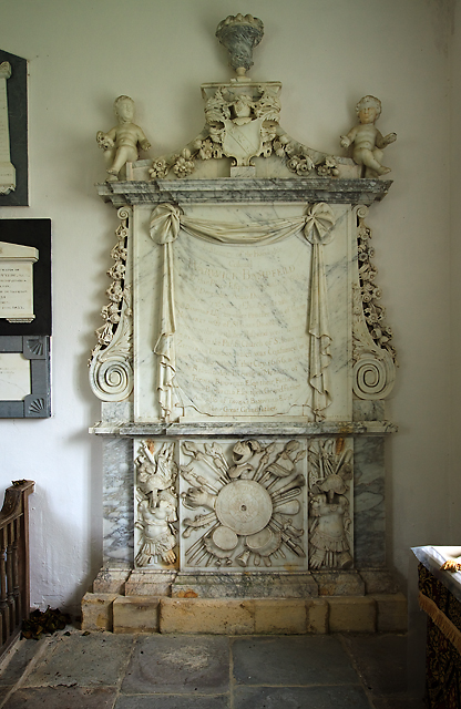
Mells Down is steeped in history, with evidence of human presence dating back to the Neolithic period. The area boasts several ancient monuments, including burial mounds and standing stones, which serve as reminders of its rich past. Additionally, the nearby village of Mells features a charming 13th-century church and a historic manor house, adding to the area's cultural significance.
Overall, Mells Down is a place of natural beauty and historical importance. Whether it's exploring the downs, wandering through the moorland, or delving into the area's past, visitors to Mells Down are sure to be captivated by its charm and allure.
If you have any feedback on the listing, please let us know in the comments section below.
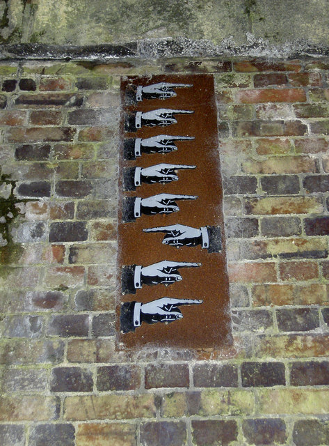
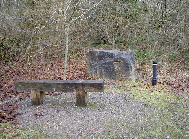
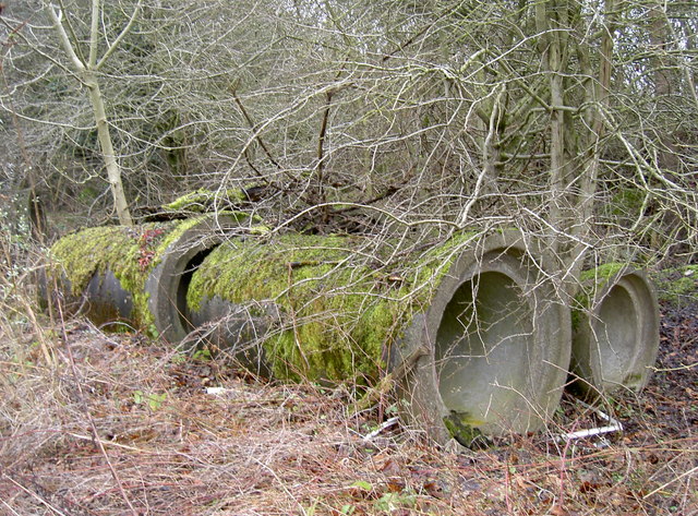
Mells Down Images
Images are sourced within 2km of 51.261573/-2.39358 or Grid Reference ST7251. Thanks to Geograph Open Source API. All images are credited.


Mells Down is located at Grid Ref: ST7251 (Lat: 51.261573, Lng: -2.39358)
Administrative County: Somerset
District: Mendip
Police Authority: Avon and Somerset
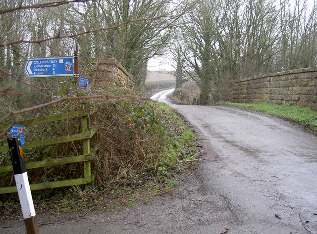
What 3 Words
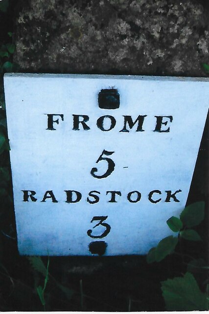
///positions.unfocused.quintet. Near Radstock, Somerset
Nearby Locations
Related Wikis

Kingsdown Camp
Kingsdown Camp is an Iron Age hillfort at Buckland Dinham 4.5 kilometres (3 mi) South East of Radstock, Somerset, England. It is a Scheduled Monument.It...
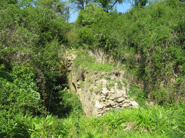
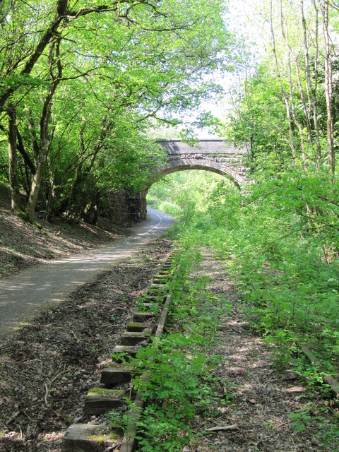
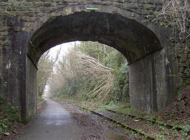
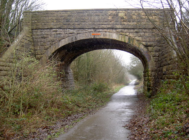
Mells Road railway station
Mells Road railway station served the village of Mells, Somerset, England from 1875 to 1959 linking Radstock to Frome, Somerset on the Heart of Wessex...

St Mary's Church, Hemington
St. Mary's Hemington is an Anglican church in Hemington, Somerset, England. The Norman church underwent major renovation in the 14th, 15th, 17th and 19th...
Hemington, Somerset
Hemington is a village and civil parish 5.5 miles (8.9 km) north west of Frome, in the Mendip district of Somerset, England. It is located just off the...

Ammerdown House, Kilmersdon
Ammerdown House in Kilmersdon, Somerset, England, was built in 1788. It has been designated as Grade I listed building.It was built as a country house...
Babington, Somerset
Babington is a small village between Radstock and Frome, Somerset, England, which has now largely disappeared. == History == In 1233 or 1234 much of the...
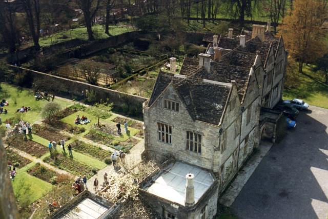
Mells Manor
Mells Manor at Mells, Somerset, England, was built in the 16th century for Edward Horner, altered in the 17th century, partially demolished around 1780...
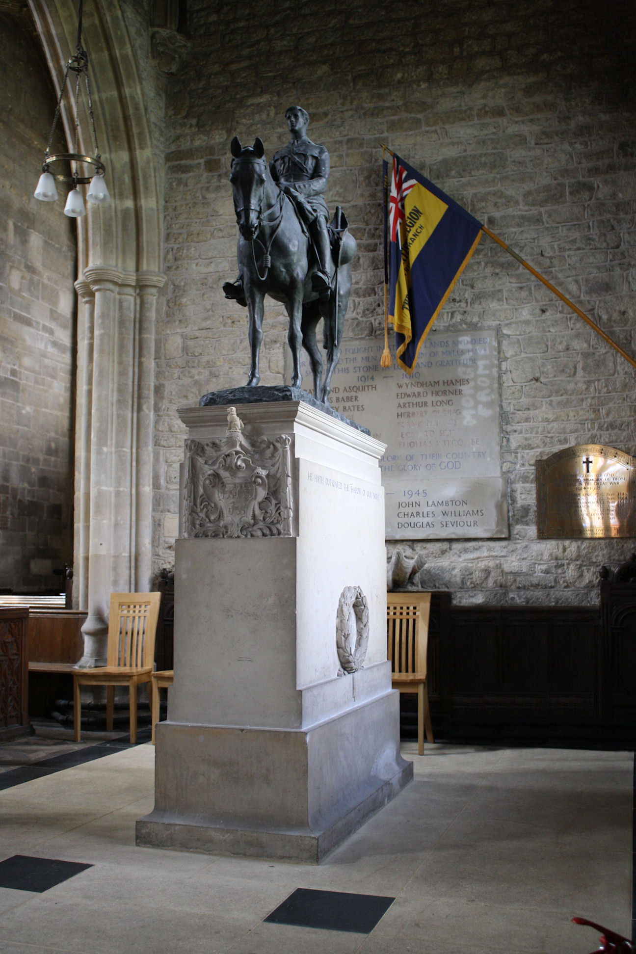
Equestrian statue of Edward Horner
The equestrian statue of Edward Horner stands inside St Andrew's Church in the village of Mells in Somerset, south-western England. It was designed by...
Have you been to Mells Down?
Leave your review of Mells Down below (or comments, questions and feedback).