Lead Mine Moss
Downs, Moorland in Yorkshire Craven
England
Lead Mine Moss
Lead Mine Moss is a picturesque area located in the Yorkshire Dales, specifically in the region of the Yorkshire Downs and Moorland. It is known for its rich history as a former lead mining site, which gives the area its name.
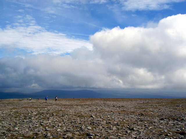
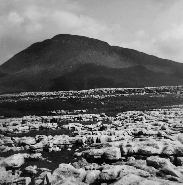
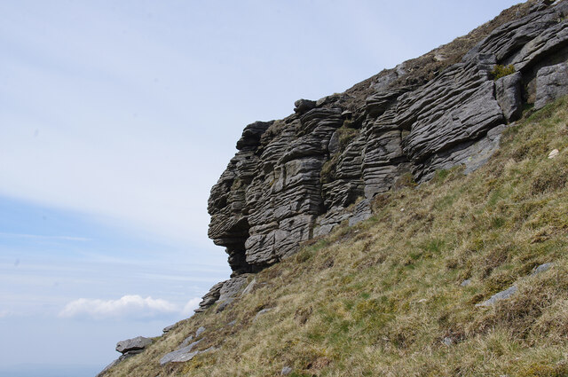
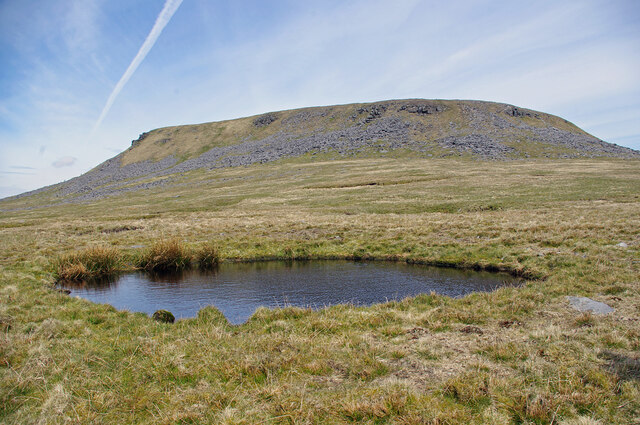
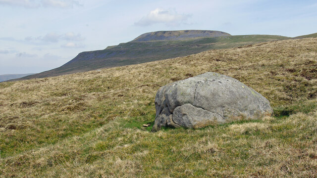
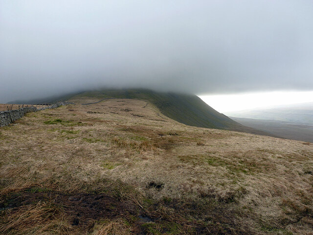
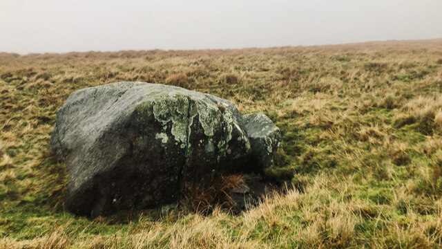
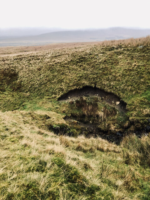
The landscape of Lead Mine Moss is characterized by rolling hills, vast moorlands, and rocky outcrops, creating a stunning natural scenery. The area is predominantly covered in heather and grasses, with patches of woodland interspersed throughout. This diverse vegetation supports a wide array of wildlife, including various bird species, small mammals, and insects.
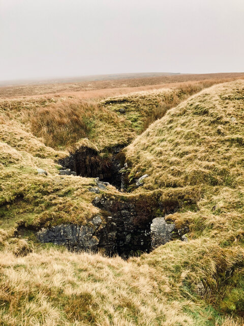
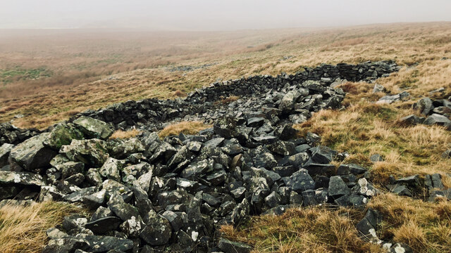
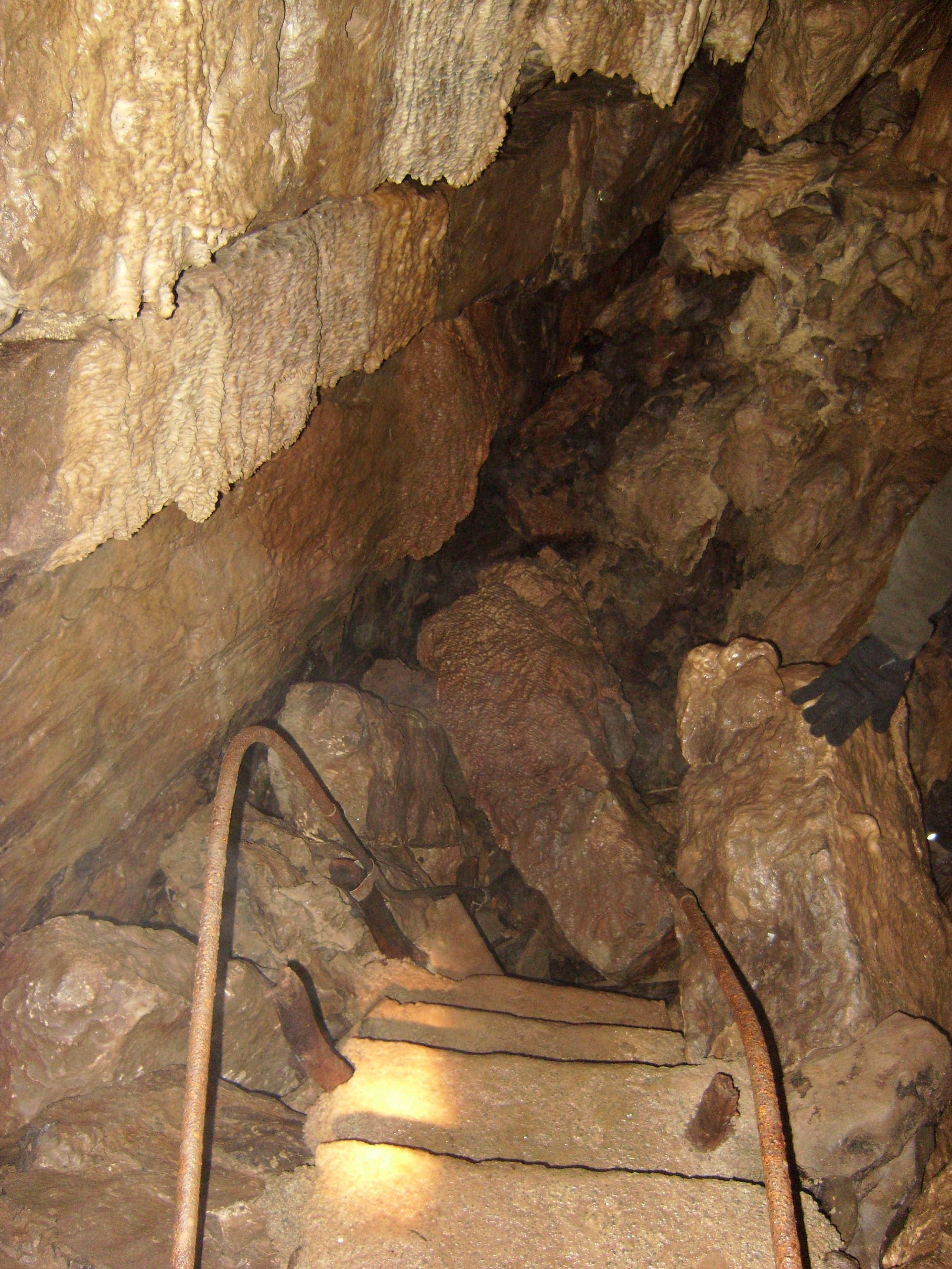
Lead Mine Moss is also home to several remnants of its mining past. The remains of old lead mines can still be seen scattered across the landscape, providing a fascinating glimpse into the area's industrial history. These mining features include shafts, spoil heaps, and derelict buildings, which serve as a reminder of the once-thriving industry that shaped the local community.
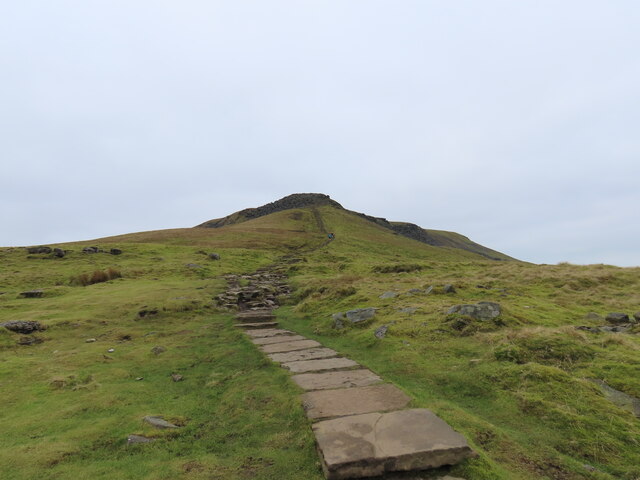
The area is a popular destination for outdoor enthusiasts, offering numerous walking and hiking trails that allow visitors to explore its natural beauty. The rolling hills and moorlands provide breathtaking views, making it a haven for photographers and nature lovers alike. Additionally, Lead Mine Moss is a designated Site of Special Scientific Interest (SSSI), highlighting its importance for conservation and biodiversity.
In conclusion, Lead Mine Moss in Yorkshire is a captivating area that combines stunning natural landscapes with a rich historical heritage. Its former lead mining sites, diverse wildlife, and picturesque scenery make it an enticing destination for those seeking to immerse themselves in the beauty and history of the Yorkshire Downs and Moorland.
If you have any feedback on the listing, please let us know in the comments section below.
Lead Mine Moss Images
Images are sourced within 2km of 54.163767/-2.4208782 or Grid Reference SD7274. Thanks to Geograph Open Source API. All images are credited.


![Fallen star An oddity I came across while descending Ingleborough was several masses of a whitish jelly-like substance. A sort of like wallpaper paste. There was nothing else around, no sheep, just rough open moorland at 350m asl.
There seems to be many explanations as to what this jelly was, but after consulting the oracle that is Wikipedia, I reckon it&#039;s an alga called Nostoc, or Astromyxin, a form of cyanobacteria.
It has many common names which are most interesting: Witches’ butter, Star jelly, Troll’s butter, Spit of moon, Astral jelly and Fallen star. In Gaelic, it is called Sgeith Rionnaig, ‘Star vomit’.
Many of these names derive from the suddenness of the jelly’s appearance, resulting in a belief of it apparently falling from the sky during meteor showers.
Two 17th-century works allude to this astral origin:
“That the Starres eat …that those falling Starres, as some call them, which are found on the earth in the form of a trembling gelly, are their excrement.”
And in Dryden’s play “Œdipus”:
“The tapers the gods
The sun and moon run down like waxen globes;
The shooting stars end all in purple jellies.
And chaos is at hand.”
It’s not surprising that such a mysterious and elusive substance would have lore associated with it. In the 14th-century, the jelly was thought a cure for abscesses.
For sources see my blog <span class="nowrap"><a title="http://www.fhithich.uk/?author=1" rel="nofollow ugc noopener" href="http://www.fhithich.uk/?author=1">Link</a><img style="margin-left:2px;" alt="External link" title="External link - shift click to open in new window" src="https://s1.geograph.org.uk/img/external.png" width="10" height="10"/></span>. 2023. ‘Stepping Stone Crossing of the River Doe at Beezleys’, Fhithich &lt;<span class="nowrap"><a title="http://www.fhithich.uk/?p=31085" rel="nofollow ugc noopener" href="http://www.fhithich.uk/?p=31085">Link</a><img style="margin-left:2px;" alt="External link" title="External link - shift click to open in new window" src="https://s1.geograph.org.uk/img/external.png" width="10" height="10"/></span> &gt; [accessed 2 January 2023]](https://s0.geograph.org.uk/geophotos/07/37/36/7373688_fefa0e2d.jpg)


Lead Mine Moss is located at Grid Ref: SD7274 (Lat: 54.163767, Lng: -2.4208782)
Division: West Riding
Administrative County: North Yorkshire
District: Craven
Police Authority: North Yorkshire
What 3 Words
///script.cheered.rezoning. Near Ingleton, North Yorkshire
Nearby Locations
Related Wikis
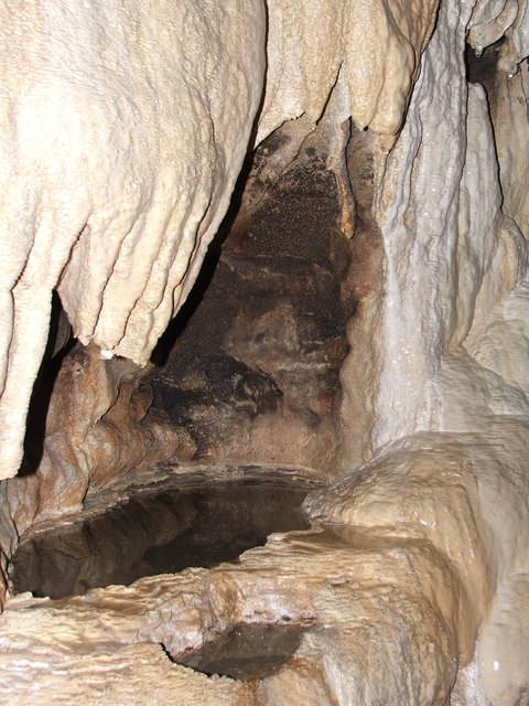
White Scar Caves
White Scar Caves is a show cave in the civil parish of Ingleton, North Yorkshire, England, under Ingleborough in the Chapel-le-Dale valley of the Yorkshire...

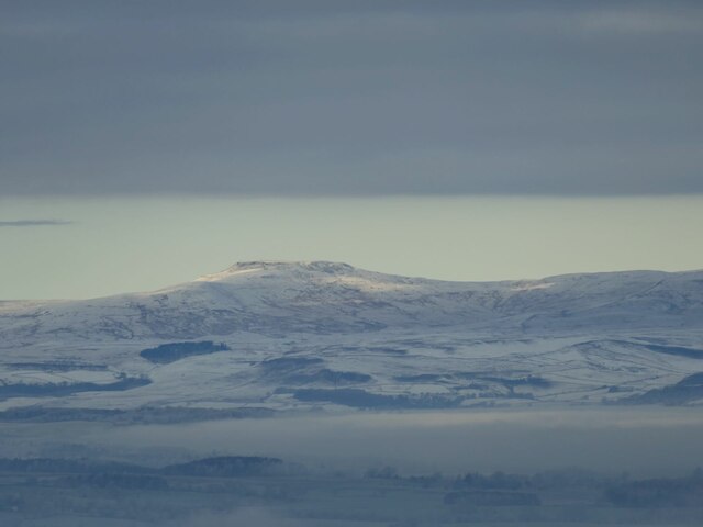
Ingleborough
Ingleborough (723 m or 2,372 ft) is the second-highest mountain in the Yorkshire Dales, England. It is one of the Yorkshire Three Peaks (the other two...

Yorkshire Three Peaks
The mountains of Whernside (736 m or 2,415 ft), Ingleborough (723 m or 2,372 ft) and Pen-y-ghent (694 m or 2,277 ft) are collectively known as the Three...
Skirwith Cave
Skirwith Cave is a major resurgence solutional cave on Ingleborough in Chapel-le-Dale, North Yorkshire, England; it was a show cave between 1964 and 1974...
Nearby Amenities
Located within 500m of 54.163767,-2.4208782Have you been to Lead Mine Moss?
Leave your review of Lead Mine Moss below (or comments, questions and feedback).