Hoddlesden Moss

Downs, Moorland in Lancashire

England

Hoddlesden Moss

Descending into the Grane Valley (1) Public footpath follows the substantial wall into the head of the Grane Valley - which contains the River Ogden.
Descending into the Grane Valley (1) Credit: Chris Heaton

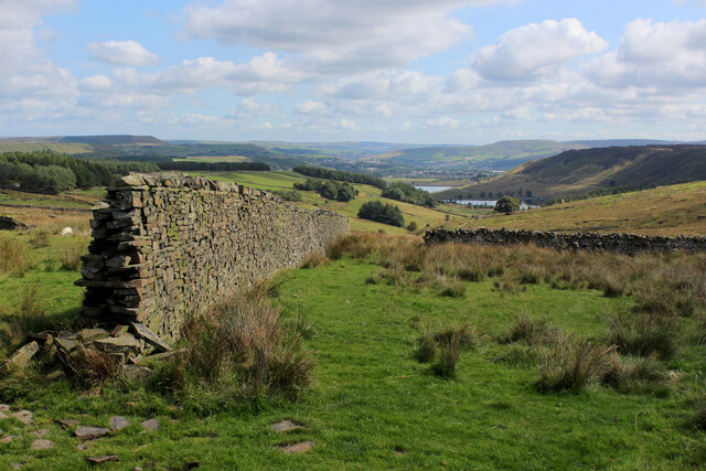
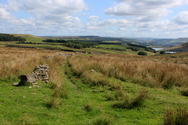
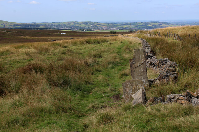
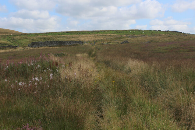
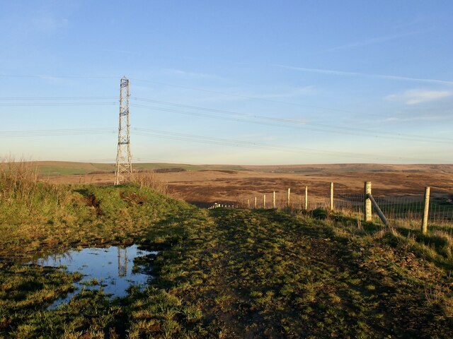
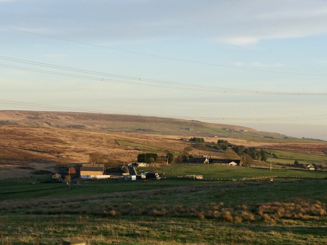
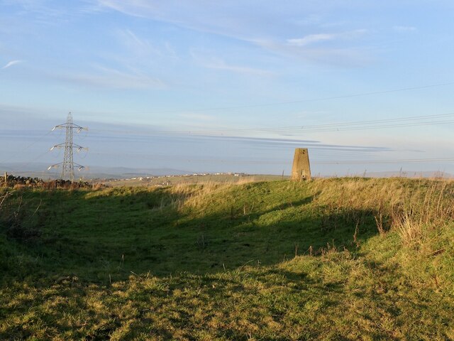
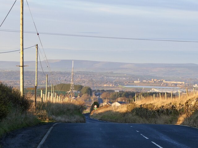
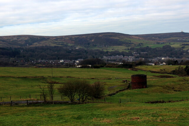
Hoddlesden Moss is a picturesque area located in the county of Lancashire, England. Situated amidst the stunning countryside, it is known for its expansive downs and moorland landscapes. With an area spanning approximately several square miles, it offers a tranquil and serene environment, ideal for nature lovers and outdoor enthusiasts.

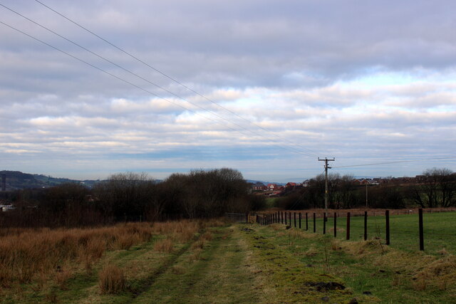
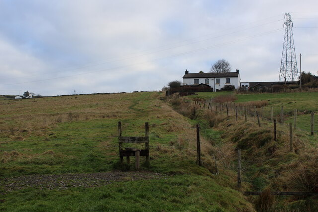
The terrain of Hoddlesden Moss is characterized by its rolling hills, heather-covered moorland, and scattered pockets of woodland. The area is also home to a diverse range of flora and fauna, including various species of birds, small mammals, and wildflowers. It provides an excellent habitat for many indigenous species and attracts birdwatchers and wildlife photographers from far and wide.

The moss is crisscrossed by a network of footpaths and trails, allowing visitors to explore the area on foot or by bike. These routes offer stunning panoramic views of the surrounding countryside, making it a popular destination for hikers and cyclists alike.

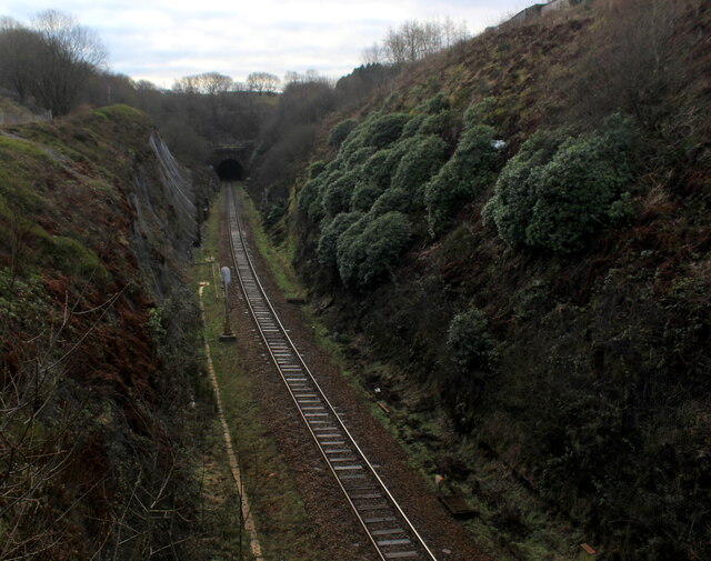
In addition to its natural beauty, Hoddlesden Moss has historical significance. It is believed to have been an important area during the Industrial Revolution, with remnants of old mine workings and quarries still visible today.

With its idyllic setting and rich biodiversity, Hoddlesden Moss offers visitors a chance to escape the hustle and bustle of everyday life and immerse themselves in the tranquility of nature. Whether it's a leisurely stroll, a challenging hike, or simply enjoying the breathtaking scenery, Hoddlesden Moss is a must-visit destination for anyone seeking solace in the beauty of Lancashire's countryside.

If you have any feedback on the listing, please let us know in the comments section below.

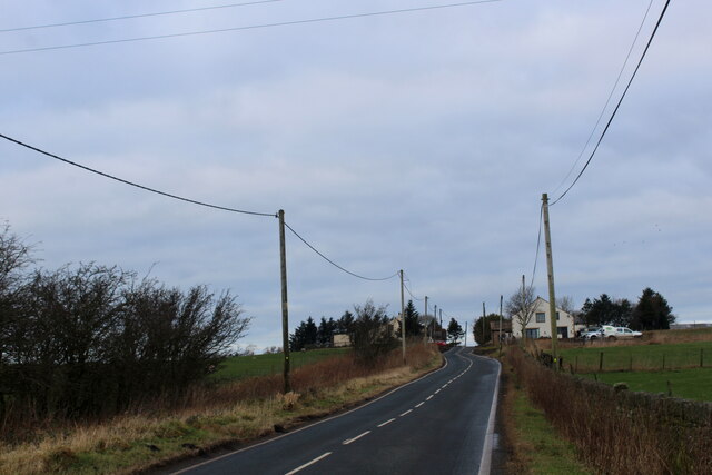
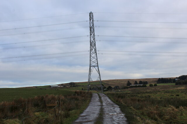
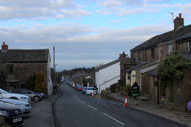
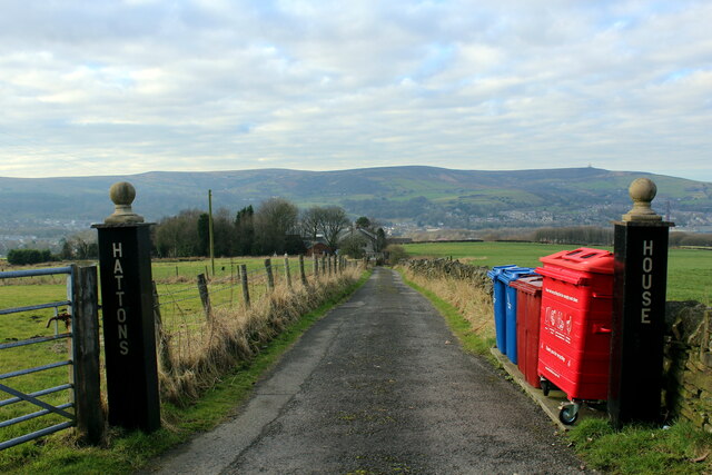
Hoddlesden Moss Images

Images are sourced within 2km of 53.686916/-2.4161358 or Grid Reference SD7221. Thanks to Geograph Open Source API. All images are credited.

Descending into the Grane Valley (1) Public footpath follows the substantial wall into the head of the Grane Valley - which contains the River Ogden.
Descending into the Grane Valley (1)
Public footpath follows the substantial wall into the head of the Grane Valley - which contains the River Ogden.
Descending into the Grane Valley (2) Footpath descending into the head of the Grane Valley, although it is not visible on the ground - so attention needs to be concentrated on the map.
Descending into the Grane Valley (2)
Footpath descending into the head of the Grane Valley, although it is not visible on the ground - so attention needs to be concentrated on the map.
Footpath heading towards Broadhead Road
Track leading away from Broadhead Road The public footpath concealed and smothered by vegetation
Track leading away from Broadhead Road
The public footpath concealed and smothered by vegetation
Rushton's Height
Rushton's Height
View towards Cuckoldmans From Rushton's Height
View towards Cuckoldmans
From Rushton's Height
Rushton's Height
Rushton's Height
Roman Road, Rushton's Height View down the predictably straight road towards Blackburn.
Roman Road, Rushton's Height
View down the predictably straight road towards Blackburn.
Sough Tunnel North portal of the mile long Sough Tunnel - on the Ribble Valley Line between Clitheroe and Manchester, via Blackburn.
Sough Tunnel
North portal of the mile long Sough Tunnel - on the Ribble Valley Line between Clitheroe and Manchester, via Blackburn.
Footpath above the Sough Tunnel Footpath heading towards Darwen, while directly below in the bowels of the earth is the Sough Railway Tunnel
Footpath above the Sough Tunnel
Footpath heading towards Darwen, while directly below in the bowels of the earth is the Sough Railway Tunnel
Ascending towards Plantation Cottage Five public footpaths meet beside the white building ahead.
Ascending towards Plantation Cottage
Five public footpaths meet beside the white building ahead.
Ventilation Shaft above Sough Tunnel Serves the mile long Sough Railway Tunnel on the Ribble Valley Line between Manchester and Clitheroe, via Blackburn
Ventilation Shaft above Sough Tunnel
Serves the mile long Sough Railway Tunnel on the Ribble Valley Line between Manchester and Clitheroe, via Blackburn
Roman Road Long straight road upon which vehicles can attain high speeds - seen here heading towards Blacksnape
Roman Road
Long straight road upon which vehicles can attain high speeds - seen here heading towards Blacksnape
Access to Lower Aushaw Heading across rough pasture from Roman Road
Access to Lower Aushaw
Heading across rough pasture from Roman Road
Roman Road, Blacksnape
Access Drive to Hattons House Leading off Roman Road, near Darwen
Access Drive to Hattons House
Leading off Roman Road, near Darwen
Heys Lane Straight track between Blacksnape and Hoddlesden
Heys Lane
Straight track between Blacksnape and Hoddlesden
Terraced Houses on Carus Avenue, Hoddlesden Blessed with very long thin garden, separated by wide trimmed hedgerows
Terraced Houses on Carus Avenue, Hoddlesden
Blessed with very long thin garden, separated by wide trimmed hedgerows
Show me another place!

Hoddlesden Moss is located at Grid Ref: SD7221 (Lat: 53.686916, Lng: -2.4161358)

Unitary Authority: Blackburn with Darwen

Police Authority: Lancashire

What 3 Words

///rely.contemplate.braked. Near Darwen, Lancashire

Related Wikis

Hoddlesden

Hoddlesden is a village in the borough of Blackburn with Darwen, in Lancashire, England. The village population at the 2011 census was 1,239. It is in...

Yate and Pickup Bank

Yate and Pickup Bank is a civil parish in the borough of Blackburn with Darwen, Lancashire, England. The population of the civil parish taken at the census...

Old St Paul's Church, Hoddlesden

Old St Paul's Church is a former Anglican parish church in the village of Hoddlesden, Lancashire, England. The foundation stone was laid on 27 July 1861...

Whittlestone Head railway station

Whittlestone Head railway station served the hamlet of Whittlestone Head, Lancashire, England, in 1848 on the Blackburn, Darwen and Bolton Railway. �...

Nearby Amenities

Located within 500m of 53.686916,-2.4161358
Barrier: stile
Material: wood
Stile: stepover
Lat/Long: 53.6848459/-2.4110569
Barrier: stile
Material: wood
Stile: stepover
Lat/Long: 53.6883397/-2.4227932
Barrier: stile
Material: wood
Stile: stepover
Lat/Long: 53.6877165/-2.4232769
Barrier: stile
Material: wood
Stile: stepover
Lat/Long: 53.6882202/-2.4228416
The data included in this document is from www.openstreetmap.org. The data is made available under ODbL.

Have you been to Hoddlesden Moss?

Leave your review of Hoddlesden Moss below (or comments, questions and feedback).