Scotland Reservoir

Lake, Pool, Pond, Freshwater Marsh in Lancashire

England

Scotland Reservoir

Rushton's Height
Rushton's Height Credit: Richard Webb

Scotland Reservoir is a man-made lake located in Lancashire, England. It is situated in the picturesque rural area of Scotland, approximately 4 miles northwest of the town of Burnley. Originally constructed in the early 19th century, the reservoir was designed to provide a reliable source of freshwater for the growing population of the nearby industrial towns.

Covering an area of approximately 12 acres, Scotland Reservoir is surrounded by gently sloping grassy banks, providing a tranquil and scenic setting for visitors. The lake itself is fed by a small stream and is deep enough to support a variety of aquatic life, including fish and waterfowl.

The reservoir serves multiple purposes, serving as a recreational area for locals and visitors alike. There is a designated picnic area with benches and tables, making it an ideal spot for a family outing or a peaceful lunch in nature. Fishing is also a popular activity at Scotland Reservoir, with anglers enjoying the opportunity to catch a variety of fish species, including carp and perch.

The surrounding area is home to a diverse range of flora and fauna, including reeds, rushes, and water lilies. The reservoir's freshwater marsh provides a valuable habitat for a variety of bird species, attracting birdwatchers throughout the year.

Overall, Scotland Reservoir offers a peaceful and scenic retreat for those seeking to escape the hustle and bustle of urban life. Its natural beauty and recreational opportunities make it a popular destination for nature enthusiasts and families alike.

If you have any feedback on the listing, please let us know in the comments section below.

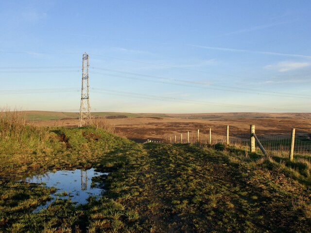
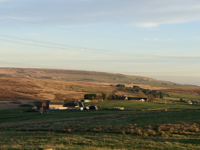
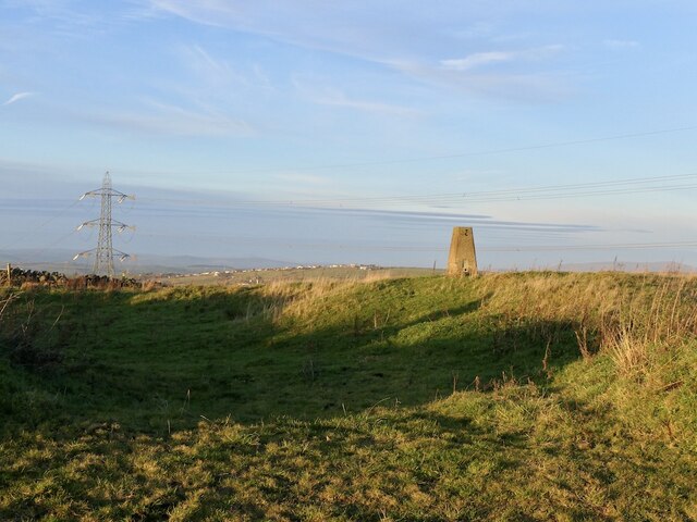
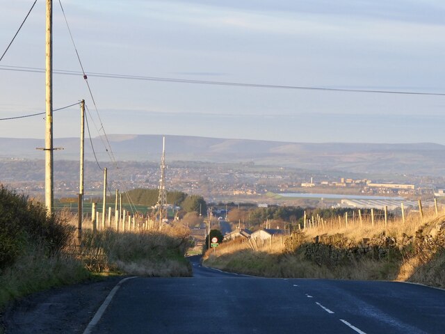
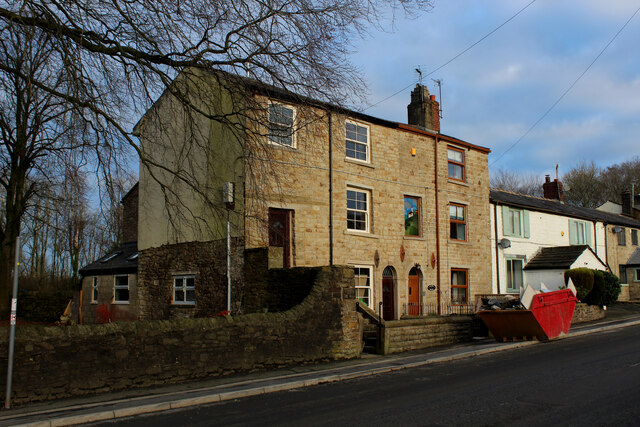
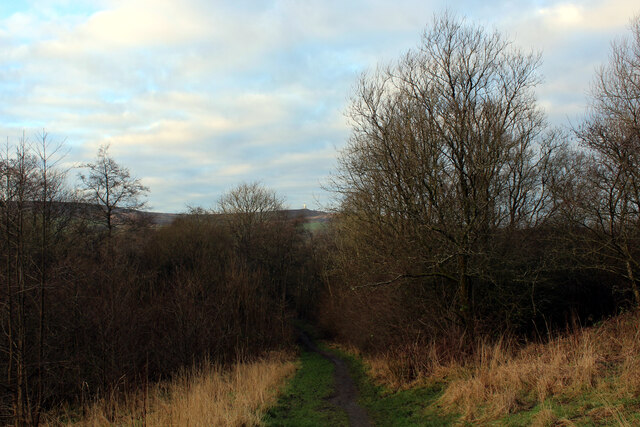
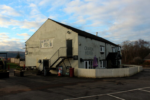
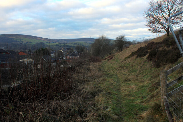
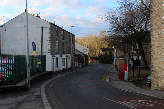
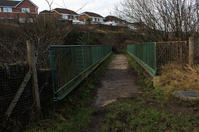
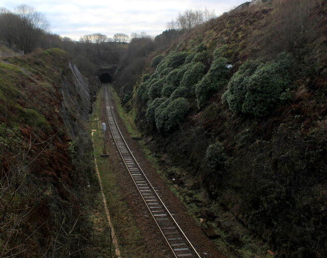
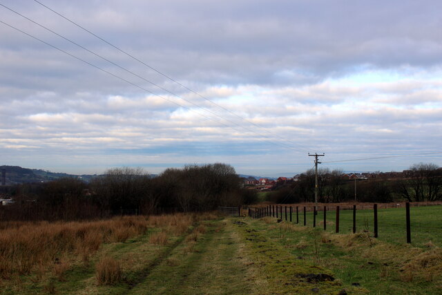
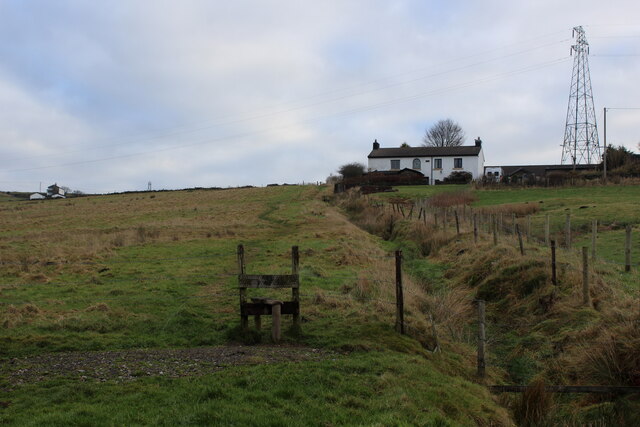
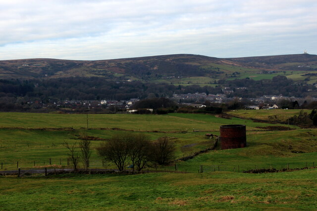
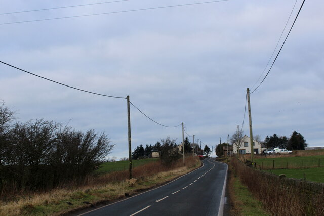
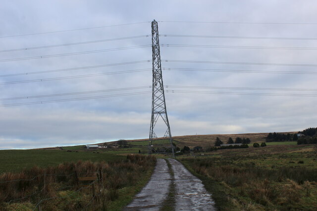
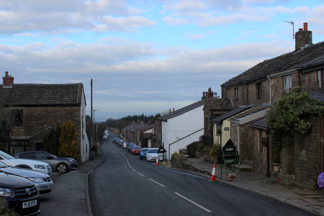
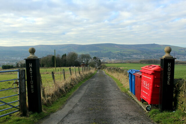
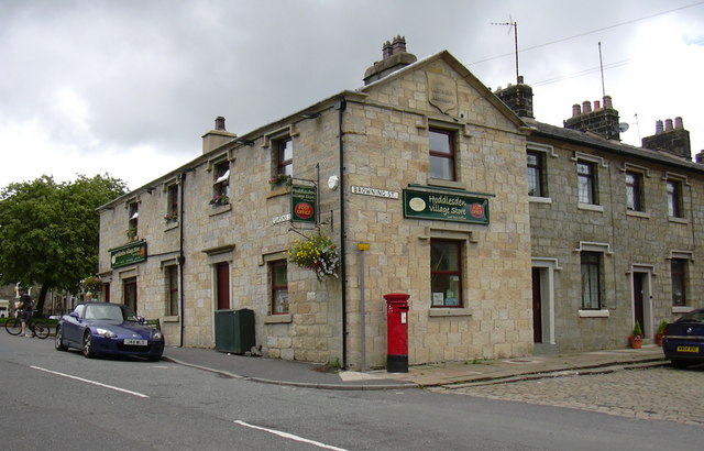
Scotland Reservoir Images

Images are sourced within 2km of 53.685131/-2.4251727 or Grid Reference SD7221. Thanks to Geograph Open Source API. All images are credited.

Rushton's Height
Rushton's Height
View towards Cuckoldmans From Rushton's Height
View towards Cuckoldmans
From Rushton's Height
Rushton's Height
Rushton's Height
Roman Road, Rushton's Height View down the predictably straight road towards Blackburn.
Roman Road, Rushton's Height
View down the predictably straight road towards Blackburn.
Housing on Pole Lane, Darwen
Entering Woodland Area from Priory Drive, Darwen Small area of woodland in Darwen, bounded by Priory Drive, Pole Lane and Sough Lane
Entering Woodland Area from Priory Drive, Darwen
Small area of woodland in Darwen, bounded by Priory Drive, Pole Lane and Sough Lane
Craven Heifer, Darwen Located on Pole Lane in Darwen.
Unusual name for a hostelry outside the Craven area, centred around Skipton in Yorkshire. It refers to a heifer that weighed over a ton and was bred in Gargrave, 1807.
Craven Heifer, Darwen
Located on Pole Lane in Darwen. Unusual name for a hostelry outside the Craven area, centred around Skipton in Yorkshire. It refers to a heifer that weighed over a ton and was bred in Gargrave, 1807.
Footpath heading for Sough, Darwen Follows the railway very closely - so closely in fact, that it is a squeeze between hedge vegetation and the rail boundary wall.
Footpath heading for Sough, Darwen
Follows the railway very closely - so closely in fact, that it is a squeeze between hedge vegetation and the rail boundary wall.
Causeway Street, Darwen
Footbridge over the Blackburn/Manchester Railway Line Crosses a deep cutting just north of the Sough Tunnel - part of the Ribble Valley Line between Manchester and Clitheroe, via Blackburn
Footbridge over the Blackburn/Manchester Railway Line
Crosses a deep cutting just north of the Sough Tunnel - part of the Ribble Valley Line between Manchester and Clitheroe, via Blackburn
Sough Tunnel North portal of the mile long Sough Tunnel - on the Ribble Valley Line between Clitheroe and Manchester, via Blackburn.
Sough Tunnel
North portal of the mile long Sough Tunnel - on the Ribble Valley Line between Clitheroe and Manchester, via Blackburn.
Footpath above the Sough Tunnel Footpath heading towards Darwen, while directly below in the bowels of the earth is the Sough Railway Tunnel
Footpath above the Sough Tunnel
Footpath heading towards Darwen, while directly below in the bowels of the earth is the Sough Railway Tunnel
Ascending towards Plantation Cottage Five public footpaths meet beside the white building ahead.
Ascending towards Plantation Cottage
Five public footpaths meet beside the white building ahead.
Ventilation Shaft above Sough Tunnel Serves the mile long Sough Railway Tunnel on the Ribble Valley Line between Manchester and Clitheroe, via Blackburn
Ventilation Shaft above Sough Tunnel
Serves the mile long Sough Railway Tunnel on the Ribble Valley Line between Manchester and Clitheroe, via Blackburn
Roman Road Long straight road upon which vehicles can attain high speeds - seen here heading towards Blacksnape
Roman Road
Long straight road upon which vehicles can attain high speeds - seen here heading towards Blacksnape
Access to Lower Aushaw Heading across rough pasture from Roman Road
Access to Lower Aushaw
Heading across rough pasture from Roman Road
Roman Road, Blacksnape
Access Drive to Hattons House Leading off Roman Road, near Darwen
Access Drive to Hattons House
Leading off Roman Road, near Darwen
Show me another place!

Scotland Reservoir is located at Grid Ref: SD7221 (Lat: 53.685131, Lng: -2.4251727)

Unitary Authority: Blackburn with Darwen

Police Authority: Lancashire

What 3 Words

///hurls.dark.hush. Near Darwen, Lancashire

Related Wikis

Related Videos

Entwistlemas - Walking at Entwistle Reservoir

In Lancashire, England a tradition has evolved in the last 15 years that locals celebrate Christmas by decorating trees at a local ...

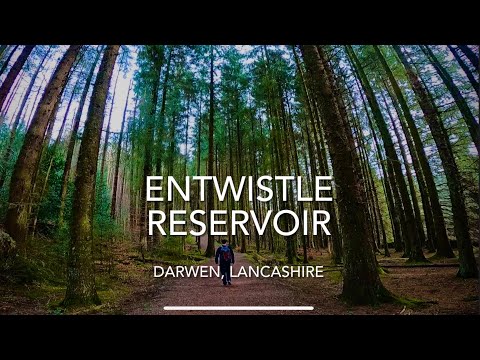
Entwistle Reservoir Walk, Darwen, Lancashire

Here is a guided walk which takes you Anti-Clockwise round Entwistle Reservoir. Postcode: BL7 0 Road name: Batridge Road, ...

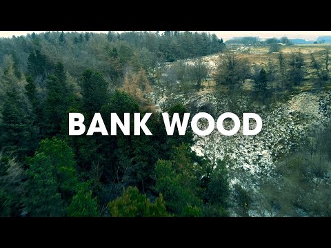
Walking Bank Wood Forest

Getting out and exploring Bank Wood Forest. The winds were a little too strong, so we had to keep the drone relatively low to the ...

Nearby Amenities

Located within 500m of 53.685131,-2.4251727
Power: tower
Lat/Long: 53.6867267/-2.4322707
Power: tower
Lat/Long: 53.681456/-2.4278711
Power: tower
Lat/Long: 53.6842279/-2.4301935
Barrier: stile
Material: wood
Stile: stepover
Lat/Long: 53.6883397/-2.4227932
Barrier: stile
Material: wood
Stile: stepover
Lat/Long: 53.6877165/-2.4232769
Barrier: stile
Material: wood
Stile: stepover
Lat/Long: 53.6882202/-2.4228416
Barrier: stile
Informal: yes
Material: wood
Stile: ladder
Lat/Long: 53.6870372/-2.4237383
Barrier: stile
Material: wood
Stile: stepover
Lat/Long: 53.68414/-2.4261747
Bench
Backrest: no
Material: wood
Lat/Long: 53.6855485/-2.4251167
Ford: yes
Lat/Long: 53.6859002/-2.424877
Barrier: stile
Material: wood
Stile: stepover
Lat/Long: 53.6858086/-2.4247029
Barrier: stile
Material: wood
Stile: stepover
Lat/Long: 53.6865425/-2.4241103
Ford: yes
Lat/Long: 53.6873707/-2.4270173
Barrier: stile
Stile: squeezer
Lat/Long: 53.6838208/-2.4260573
Barrier: stile
Material: wood
Stile: stepover
Lat/Long: 53.6819923/-2.4246751
Power: pole
Lat/Long: 53.6809476/-2.4235406
Power: pole
Lat/Long: 53.6806501/-2.4248407
The data included in this document is from www.openstreetmap.org. The data is made available under ODbL.

Have you been to Scotland Reservoir?

Leave your review of Scotland Reservoir below (or comments, questions and feedback).