Whitbourne Ford

Lake, Pool, Pond, Freshwater Marsh in Herefordshire

England

Whitbourne Ford

Stone Byre Snow Cover
Stone Byre Credit: Jorgen G

Whitbourne Ford is a picturesque freshwater marsh located in Herefordshire, England. Situated near the village of Whitbourne, it is known for its serene and tranquil environment, offering visitors a unique and immersive experience in the heart of nature.

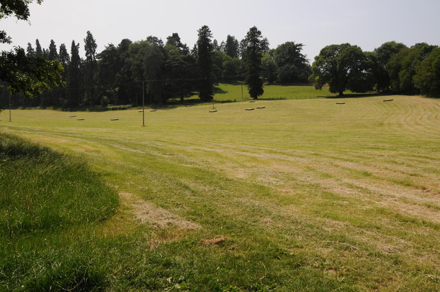
The focal point of Whitbourne Ford is a beautiful lake, surrounded by lush greenery and diverse vegetation. The lake serves as a habitat for various aquatic species, including fish, frogs, and waterfowl. Its crystal-clear waters reflect the surrounding landscape, creating a stunning visual spectacle.

Adjacent to the lake, there is a pool and pond system that further enhances the natural beauty of Whitbourne Ford. These pools and ponds are home to an array of aquatic plants, insects, and small fish, adding to the overall biodiversity of the area. They also provide a breeding ground for amphibians, contributing to the conservation of local wildlife.

The freshwater marsh at Whitbourne Ford is a crucial component of the ecosystem. It acts as a water filtration system, purifying the water that flows through it and maintaining the ecological balance of the surrounding area. The marshland is teeming with a variety of plant species, such as reeds, rushes, and sedges. This plant diversity supports a wide range of terrestrial and avian wildlife, making it a haven for birdwatchers and nature enthusiasts.

Whitbourne Ford offers visitors the opportunity to immerse themselves in the natural beauty of Herefordshire. Whether it's birdwatching, fishing, or simply enjoying a peaceful stroll along the water's edge, this freshwater marsh provides a sanctuary for both wildlife and humans alike.

If you have any feedback on the listing, please let us know in the comments section below.

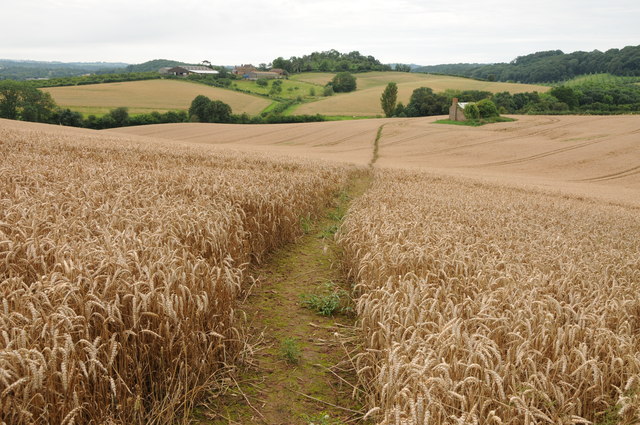
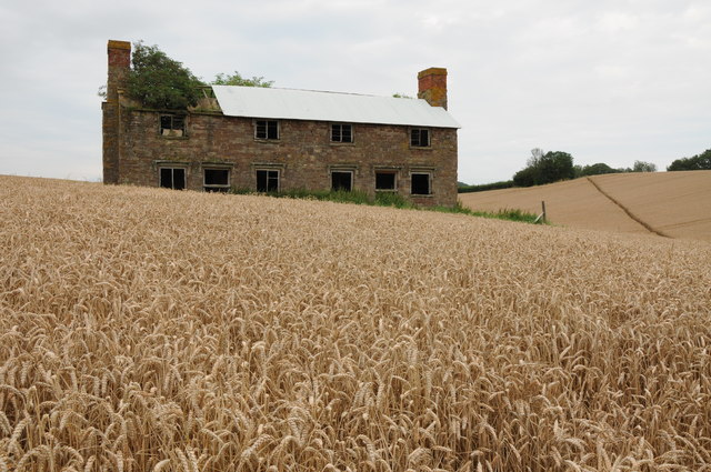
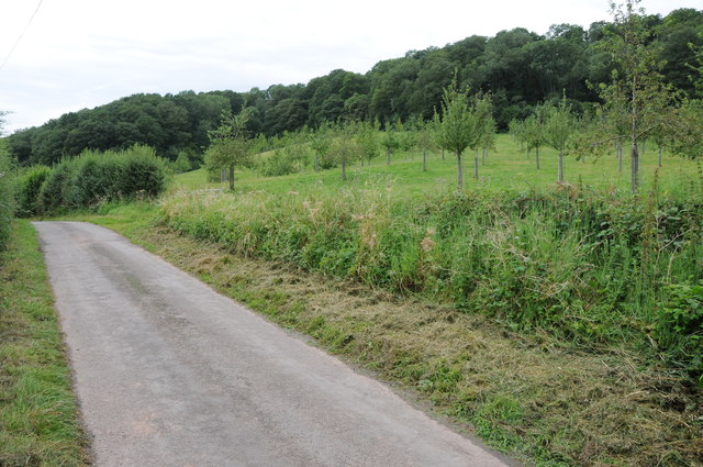
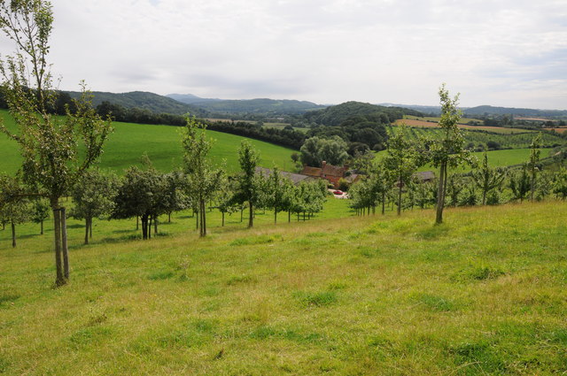
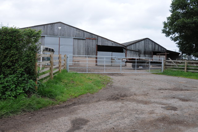
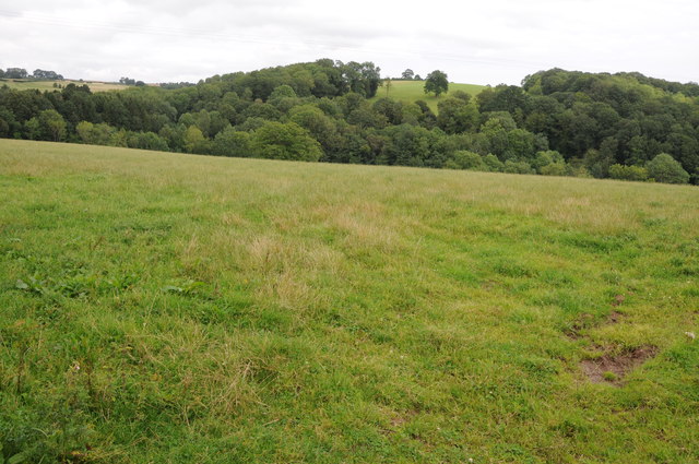
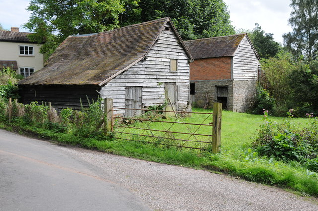
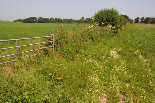
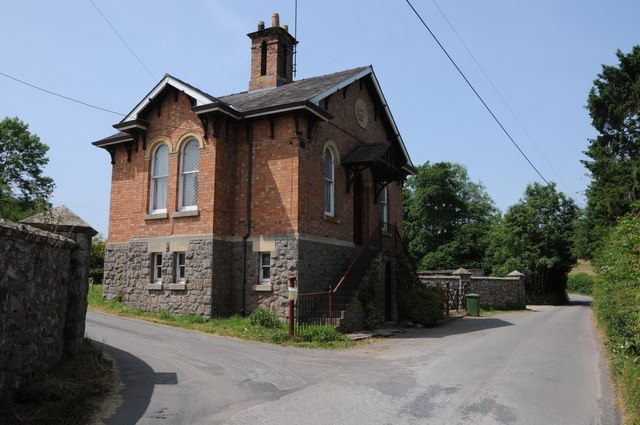
Whitbourne Ford Images

Images are sourced within 2km of 52.219513/-2.4105754 or Grid Reference SO7258. Thanks to Geograph Open Source API. All images are credited.

Stone Byre Snow Cover
Stone Byre
Snow Cover
Footpath through a wheat field Footpath through a wheat field in the Teme valley with the farm at Tedney House in the near distance.
Footpath through a wheat field
Footpath through a wheat field in the Teme valley with the farm at Tedney House in the near distance.
Abandoned Hillhouse Cottages Now completely surrounded by a crop of wheat, even now Hillhouse Cottages display a robustness.  They echo the feeling that they belong on a windswept Bronte moorland.
Abandoned Hillhouse Cottages
Now completely surrounded by a crop of wheat, even now Hillhouse Cottages display a robustness. They echo the feeling that they belong on a windswept Bronte moorland.
Tedney Bank No through road and orchard below Tedney Bank.
Tedney Bank
No through road and orchard below Tedney Bank.
View from Tedney Bank View towards the Malvern Hills and Suckley Hills from Tedney Bank with Lower Tedney Farm below.
View from Tedney Bank
View towards the Malvern Hills and Suckley Hills from Tedney Bank with Lower Tedney Farm below.
Farmland around New House Farm New House Farm can be seen to the right in the middle distance.  The Malvern Hills can be seen above the farm on the horizon.
Farmland around New House Farm
New House Farm can be seen to the right in the middle distance. The Malvern Hills can be seen above the farm on the horizon.
Thrift Farm Farm buildings at Thrift Farm near Tedstone Delamere.
Thrift Farm
Farm buildings at Thrift Farm near Tedstone Delamere.
Sheep near Lamb Green Sheep near Lamb Green to the east of Tedstone Delamere.
Sheep near Lamb Green
Sheep near Lamb Green to the east of Tedstone Delamere.
Field above Whitbourne Brook Field above Whitbourne Brook to the north of the village of Whitbourne.
Field above Whitbourne Brook
Field above Whitbourne Brook to the north of the village of Whitbourne.
Barns at Whitbourne A pair of traditional barns beside the road in Whitbourne.
Barns at Whitbourne
A pair of traditional barns beside the road in Whitbourne.
Footpath at Horsham Footpath in the Teme valley at Horsham.
Footpath at Horsham
Footpath in the Teme valley at Horsham.
Hill Top, Horsham No through road passing through converted farm buildings at Hill Top at Horsham.
Hill Top, Horsham
No through road passing through converted farm buildings at Hill Top at Horsham.
A view into Herefordshire A view across the Teme valley to Tedney House which is in a peninsula of Herefordshire within a loop in the River Teme.
A view into Herefordshire
A view across the Teme valley to Tedney House which is in a peninsula of Herefordshire within a loop in the River Teme.
The Wheatsheaf, Whitbourne The Wheatsheaf on the A44 at Whitbourne.
The Wheatsheaf, Whitbourne
The Wheatsheaf on the A44 at Whitbourne.
Farmland near Whitbourne
Lodge to Whitbourne Hall
Baled hay Baled hay in a field at Whitbourne.
Baled hay
Baled hay in a field at Whitbourne.
Hill Top, Horsham View to the converted farm of Hill Top at Horsham.
Hill Top, Horsham
View to the converted farm of Hill Top at Horsham.
Show me another place!

Whitbourne Ford is located at Grid Ref: SO7258 (Lat: 52.219513, Lng: -2.4105754)

Unitary Authority: County of Herefordshire

Police Authority: West Mercia

What 3 Words

///symphony.merit.marathons. Near Bromyard, Herefordshire

Related Wikis

Whitbourne, Herefordshire

Whitbourne (Anglo-Saxon for "white stream") is a village in Eastern Herefordshire, England on the banks of the River Teme and close to the A44. It is close...

Horsham, Worcestershire

Horsham is a village in Worcestershire, England. Remains of an old Iron Age fort are located within the village. == External links ==
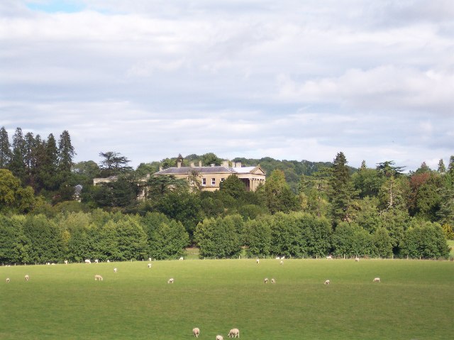
Whitbourne Hall

Whitbourne Hall is a Grade II* listed Greek Revival country house located in the village of Whitbourne in Herefordshire (near the Worcestershire border...

Ankerdine Hill

Ankerdine Hill is a hill with a summit at 149 metres (489 ft) above sea level, in the civil parish of Doddenham in the Malvern Hills district of Worcestershire...

Knightwick

Knightwick is a small village and civil parish (with Doddenham) in the Malvern Hills district in the county of Worcestershire, England. == History... ==

Berrow Green

Berrow Green is a village in Worcestershire, England. == Berrow Hill Camp == Berrow Green is situated just below Berrow Hill Camp, an Iron Age encampment...

Tedstone Delamere

Tedstone Delamere is a village and civil parish in Herefordshire, England, 3.5 miles (6 km) north-east of Bromyard. The population of the parish at the...

Osebury Rock

Osebury Rock (also known as Oseberrow or Rosebury) is a cliff on the River Teme near Lulsley in Worcestershire, England where fragmentary rocks of the...

Nearby Amenities

Located within 500m of 52.219513,-2.4105754
Barrier: yes
Lat/Long: 52.2211272/-2.4135148
Generator Method: photovoltaic
Generator Output Electricity: yes
Generator Source: solar
Generator Type: solar_photovoltaic_panel
Power: generator
Lat/Long: 52.2185817/-2.4134517
Power: pole
Lat/Long: 52.2221803/-2.4164504
Power: pole
Lat/Long: 52.2219461/-2.4158791
Power: pole
Lat/Long: 52.2216496/-2.4151549
Horner's Mill
Power: pole
Transformer: distribution
Voltage Primary: 11000
Lat/Long: 52.2212671/-2.4142268
Power: pole
Lat/Long: 52.2207955/-2.414135
Power: pole
Lat/Long: 52.2205228/-2.4140927
Power: pole
Lat/Long: 52.2197595/-2.4139626
Power: pole
Lat/Long: 52.2202907/-2.4140565
Power: pole
Lat/Long: 52.2227373/-2.4081664
Power: pole
Lat/Long: 52.2222041/-2.408672
Power: pole
Lat/Long: 52.2213505/-2.4094954
Little Tedney
Power: pole
Transformer: distribution
Voltage Primary: 11000
Lat/Long: 52.2209126/-2.4099246
Power: pole
Lat/Long: 52.2203334/-2.4097623
Highfields Farm
Power: pole
Transformer: distribution
Voltage Primary: 11000
Lat/Long: 52.2185098/-2.4085808
Power: pole
Lat/Long: 52.2191248/-2.4094478
Power: pole
Lat/Long: 52.2197303/-2.4095906
Power: pole
Lat/Long: 52.2194916/-2.4103068
Power: pole
Lat/Long: 52.2192332/-2.4110819
Power: pole
Lat/Long: 52.219239/-2.4116968
Power: pole
Lat/Long: 52.2192649/-2.4128455
Power: pole
Lat/Long: 52.2192797/-2.413858
Highlay Farm
Power: pole
Transformer: distribution
Voltage Primary: 11000
Lat/Long: 52.2187694/-2.4137722
Power: pole
Lat/Long: 52.2183796/-2.4139553
Power: pole
Lat/Long: 52.2180965/-2.4138453
Power: pole
Lat/Long: 52.2174507/-2.4135891
Power: pole
Lat/Long: 52.216998/-2.4134168
Power: pole
Lat/Long: 52.2165021/-2.413225
Power: pole
Lat/Long: 52.2156755/-2.4139023
Power: pole
Lat/Long: 52.2153214/-2.4127637
Power: pole
Lat/Long: 52.2158456/-2.4129662
The data included in this document is from www.openstreetmap.org. The data is made available under ODbL.

Have you been to Whitbourne Ford?

Leave your review of Whitbourne Ford below (or comments, questions and feedback).