Buckland Down
Downs, Moorland in Somerset Mendip
England
Buckland Down

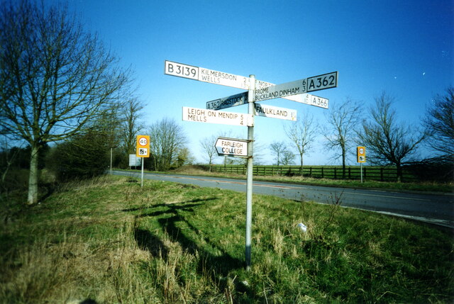
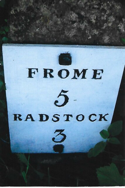
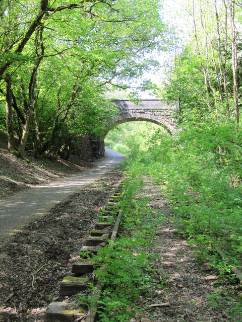
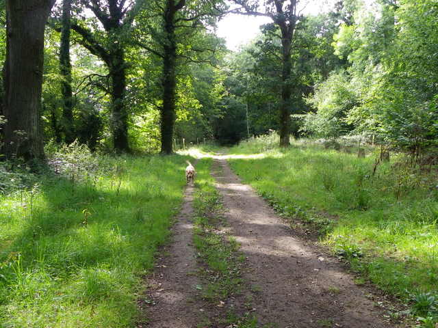
Buckland Down, located in Somerset, England, is an expansive area of downs and moorland that covers a significant portion of the landscape. Stretching across approximately 5,000 acres, this natural wonder offers visitors a scenic and diverse environment to explore.
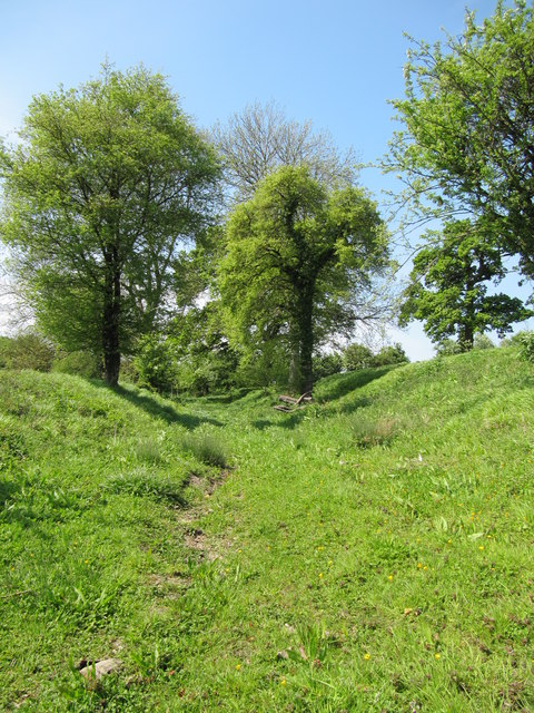
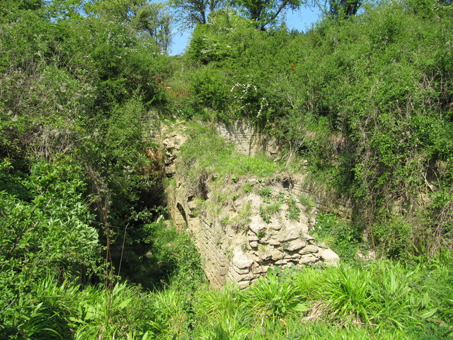
The downs of Buckland Down are characterized by their gently rolling hills and wide open spaces. Covered in lush grasses and scattered with wildflowers, these downs provide a picturesque backdrop for outdoor activities such as hiking, picnicking, and birdwatching. The panoramic views from the higher points of the downs are particularly breathtaking, offering glimpses of the surrounding countryside and even the Bristol Channel on clear days.
In addition to the downs, Buckland Down is also home to sprawling moorland areas. Moorlands are characterized by their damp, peaty soils and heather-dominated vegetation. This unique habitat supports a variety of wildlife, including several species of birds such as curlews and lapwings. Visitors can witness the moorland's stunning purple hues when the heather is in full bloom during late summer.
Buckland Down is a haven for nature enthusiasts, as it boasts a rich biodiversity. Rare plant species can be found scattered throughout the downs and moorland, adding to the area's ecological importance. The diverse landscapes of Buckland Down also provide habitats for various animals, including rabbits, foxes, and deer.
Overall, Buckland Down offers a tranquil escape from the hustle and bustle of everyday life, allowing visitors to immerse themselves in the beauty of nature. Its downs and moorland provide a harmonious blend of scenic vistas, wildlife, and unique flora, making it a must-visit destination for anyone seeking a peaceful countryside experience.
If you have any feedback on the listing, please let us know in the comments section below.
Buckland Down Images
Images are sourced within 2km of 51.264838/-2.3987819 or Grid Reference ST7251. Thanks to Geograph Open Source API. All images are credited.


Buckland Down is located at Grid Ref: ST7251 (Lat: 51.264838, Lng: -2.3987819)
Administrative County: Somerset
District: Mendip
Police Authority: Avon and Somerset
What 3 Words
///hospitals.turned.enclosing. Near Radstock, Somerset
Nearby Locations
Related Wikis

Kingsdown Camp
Kingsdown Camp is an Iron Age hillfort at Buckland Dinham 4.5 kilometres (3 mi) South East of Radstock, Somerset, England. It is a Scheduled Monument.It...
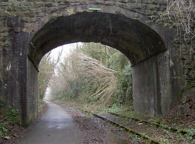
Mells Road railway station
Mells Road railway station served the village of Mells, Somerset, England from 1875 to 1959 linking Radstock to Frome, Somerset on the Heart of Wessex...

St Mary's Church, Hemington
St. Mary's Hemington is an Anglican church in Hemington, Somerset, England. The Norman church underwent major renovation in the 14th, 15th, 17th and 19th...

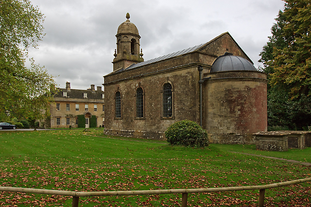
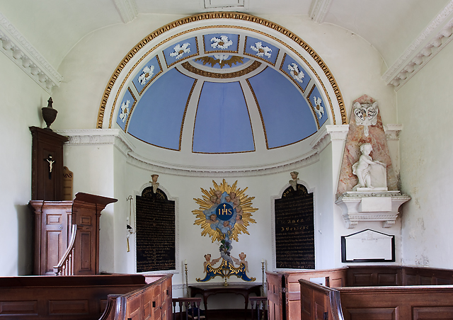
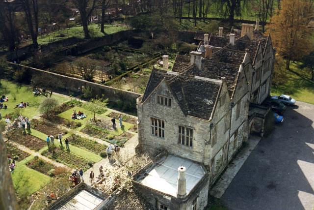
Ammerdown House, Kilmersdon
Ammerdown House in Kilmersdon, Somerset, England, was built in 1788. It has been designated as Grade I listed building.It was built as a country house...
Hemington, Somerset
Hemington is a village and civil parish 5.5 miles (8.9 km) north west of Frome, in the Mendip district of Somerset, England. It is located just off the...
Babington, Somerset
Babington is a small village between Radstock and Frome, Somerset, England, which has now largely disappeared. == History == In 1233 or 1234 much of the...

Babington House
Babington House is a Grade II* listed manor house, located in the village of Babington, between Radstock and Frome, in the county of Somerset, England...
Mells Manor
Mells Manor at Mells, Somerset, England, was built in the 16th century for Edward Horner, altered in the 17th century, partially demolished around 1780...
Nearby Amenities
Located within 500m of 51.264838,-2.3987819Have you been to Buckland Down?
Leave your review of Buckland Down below (or comments, questions and feedback).