Beech Grove
Wood, Forest in Somerset Mendip
England
Beech Grove

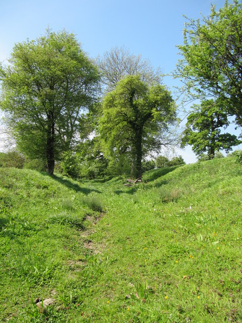
Beech Grove is a small woodland area located in Somerset, England. Nestled amidst the picturesque countryside, this beech forest spans approximately 20 acres and is a cherished natural gem in the region. The grove is known for its dense canopy of towering beech trees that provide shade and shelter to an array of flora and fauna.
The woodland is a haven for nature enthusiasts, offering a tranquil escape from the hustle and bustle of daily life. As visitors wander through Beech Grove, they are greeted by a symphony of birdsong and the gentle rustling of leaves underfoot. The forest floor is carpeted with vibrant wildflowers, adding splashes of color to the verdant surroundings.
Beech Grove also boasts a diverse ecosystem, hosting a variety of wildlife. Squirrels dart through the branches, while rabbits and deer cautiously graze in the undergrowth. The forest is also home to numerous bird species, including woodpeckers, owls, and songbirds, making it a popular spot for birdwatchers.
In addition to its natural beauty, Beech Grove offers recreational opportunities for visitors. The well-maintained walking trails wind through the forest, allowing hikers and nature lovers to explore the area at their own pace. Picnic areas are scattered throughout the grove, providing a peaceful setting for a leisurely lunch amidst nature.
Beech Grove holds a special place in the hearts of locals and visitors alike, as it serves as a sanctuary of tranquility and natural beauty. Whether one seeks solace in the peaceful surroundings or wishes to immerse themselves in the rich biodiversity, Beech Grove is a haven that captivates all who venture into its leafy embrace.
If you have any feedback on the listing, please let us know in the comments section below.
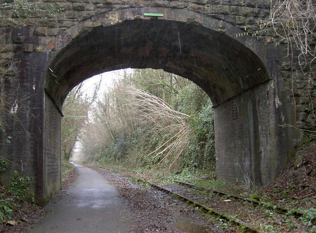
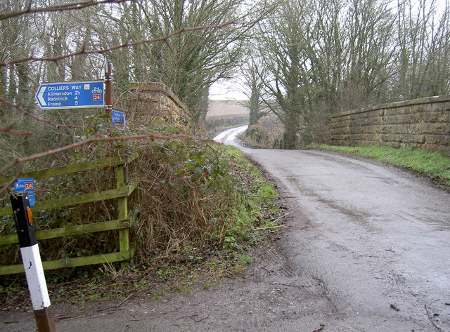
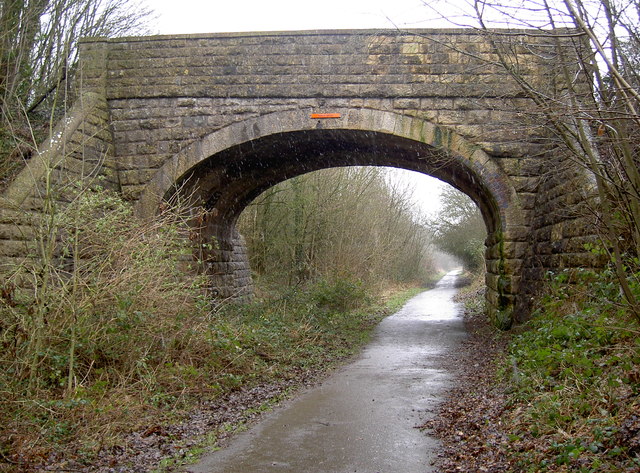
Beech Grove Images
Images are sourced within 2km of 51.259065/-2.3907784 or Grid Reference ST7251. Thanks to Geograph Open Source API. All images are credited.


Beech Grove is located at Grid Ref: ST7251 (Lat: 51.259065, Lng: -2.3907784)
Administrative County: Somerset
District: Mendip
Police Authority: Avon and Somerset
What 3 Words
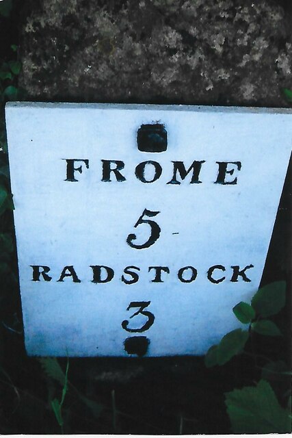
///tailed.swinging.brisk. Near Radstock, Somerset
Nearby Locations
Related Wikis

Kingsdown Camp
Kingsdown Camp is an Iron Age hillfort at Buckland Dinham 4.5 kilometres (3 mi) South East of Radstock, Somerset, England. It is a Scheduled Monument.It...
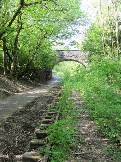
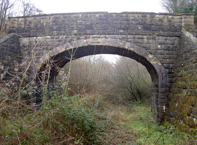
Mells Road railway station
Mells Road railway station served the village of Mells, Somerset, England from 1875 to 1959 linking Radstock to Frome, Somerset on the Heart of Wessex...

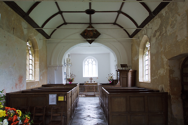
St Mary's Church, Hemington
St. Mary's Hemington is an Anglican church in Hemington, Somerset, England. The Norman church underwent major renovation in the 14th, 15th, 17th and 19th...
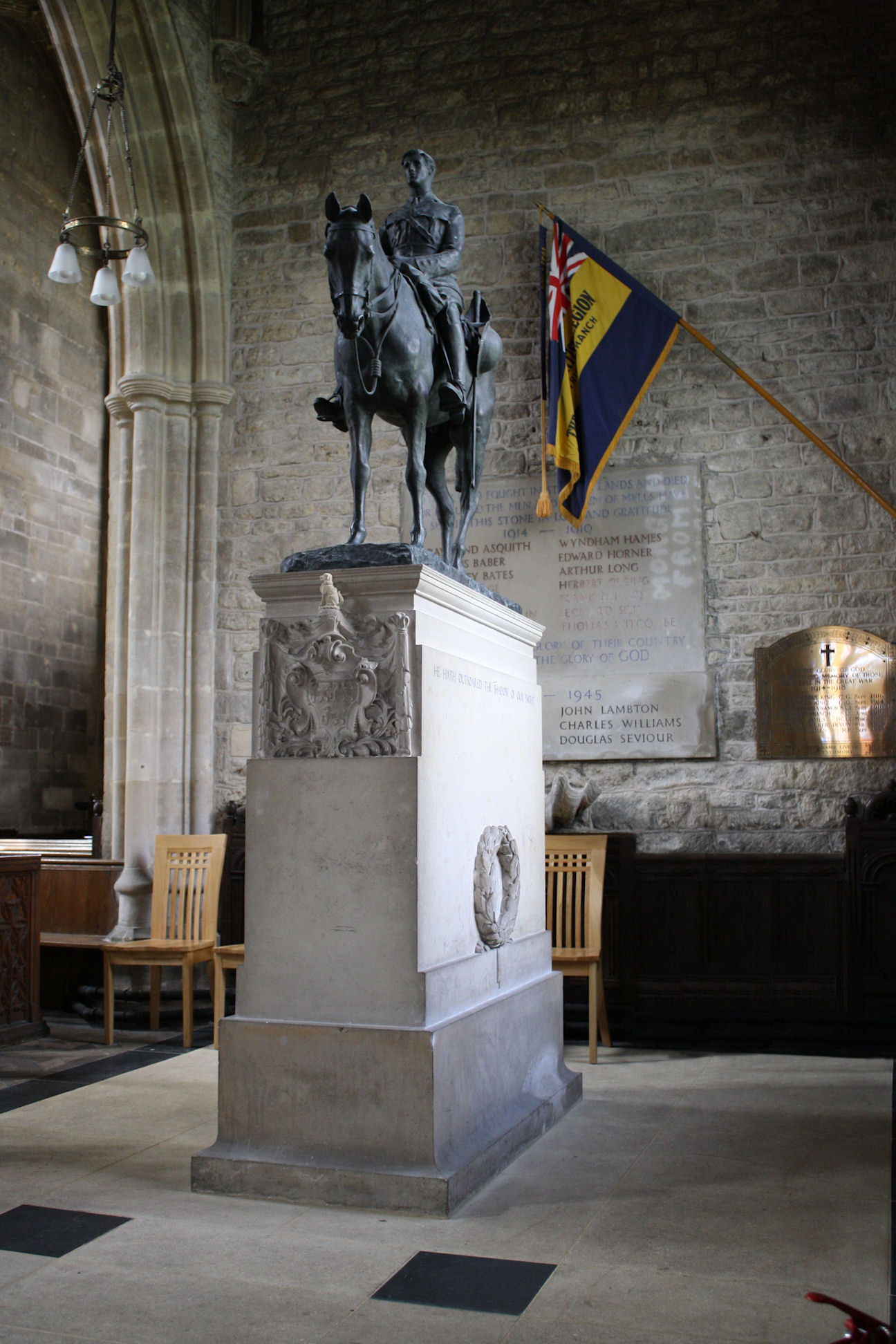
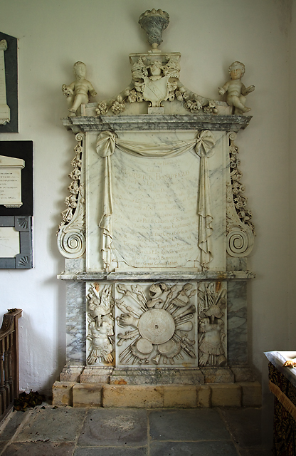
Equestrian statue of Edward Horner
The equestrian statue of Edward Horner stands inside St Andrew's Church in the village of Mells in Somerset, south-western England. It was designed by...
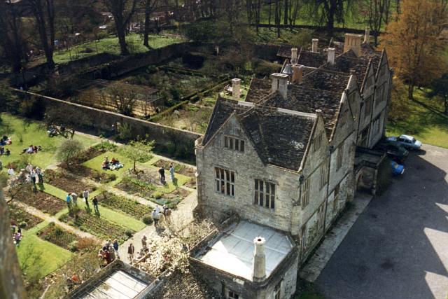
Mells Manor
Mells Manor at Mells, Somerset, England, was built in the 16th century for Edward Horner, altered in the 17th century, partially demolished around 1780...

St Andrew's Church, Mells
St Andrew's Church is a Church of England parish church located in the village of Mells in the English county of Somerset. The church is a grade I listed...
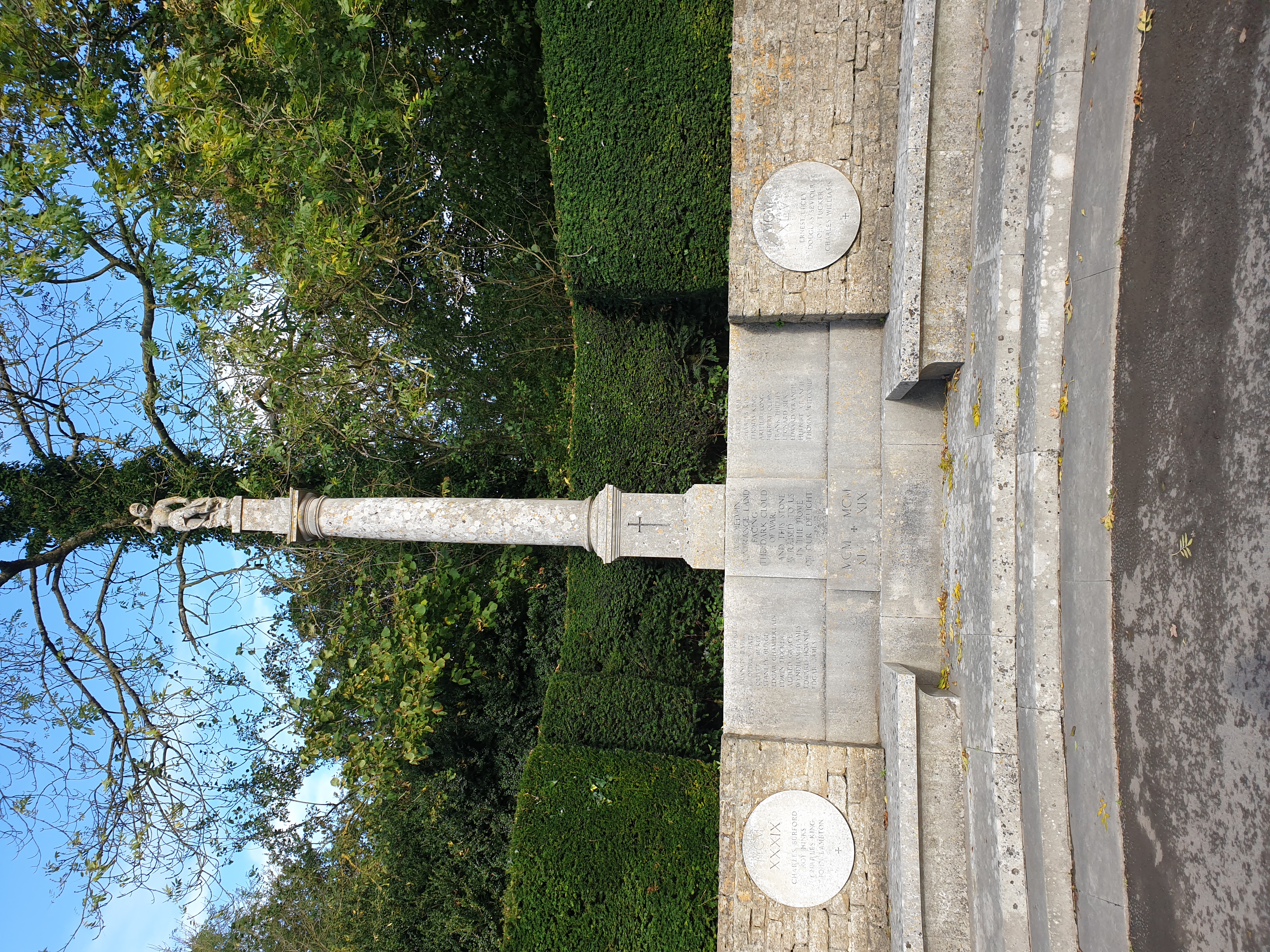
Mells War Memorial
Mells War Memorial is a First World War memorial by Sir Edwin Lutyens in the village of Mells in the Mendip Hills of Somerset, south-western England. Unveiled...
Hemington, Somerset
Hemington is a village and civil parish 5.5 miles (8.9 km) north west of Frome, in the Mendip district of Somerset, England. It is located just off the...
Nearby Amenities
Located within 500m of 51.259065,-2.3907784Have you been to Beech Grove?
Leave your review of Beech Grove below (or comments, questions and feedback).