Buckland Lodge Plantation
Wood, Forest in Somerset Mendip
England
Buckland Lodge Plantation

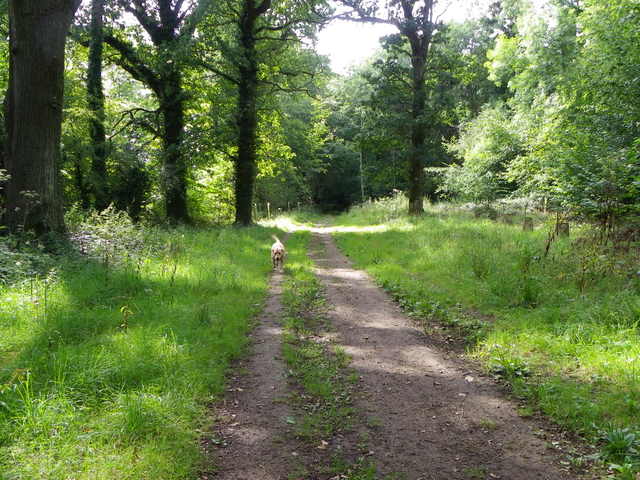
Buckland Lodge Plantation, located in Somerset, England, is a sprawling woodland area known for its natural beauty and diverse ecosystem. Spanning over several acres, this enchanting forest is a haven for nature lovers and outdoor enthusiasts alike.
The plantation is primarily composed of a mixture of deciduous and coniferous trees, creating a unique blend of colors and textures throughout the seasons. The towering oak, beech, and ash trees provide a dense canopy overhead, while the vibrant undergrowth of ferns, mosses, and wildflowers add to the visual appeal of the area.
Home to a wide array of wildlife, Buckland Lodge Plantation is an important habitat for many species. Birds such as woodpeckers, owls, and warblers can be spotted among the treetops, while mammals like deer, foxes, and badgers roam the forest floor. The plantation also supports a diverse range of insects, including butterflies and beetles, adding to the overall biodiversity of the area.
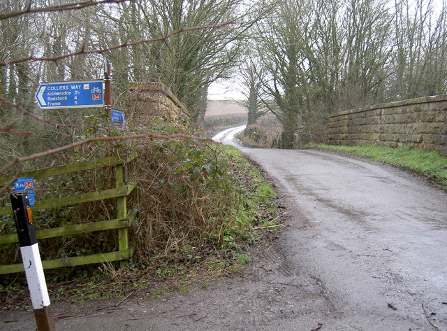
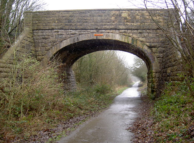
The plantation offers a network of well-maintained walking trails that wind through the woodland, allowing visitors to explore and immerse themselves in the natural surroundings. These trails provide opportunities for leisurely strolls, birdwatching, and photography. Additionally, the plantation has designated picnic areas and benches where visitors can take a break and enjoy the serenity of the forest.
Buckland Lodge Plantation is not only a place of natural beauty but also plays an essential role in preserving and protecting the local ecosystem. Its rich biodiversity and tranquil atmosphere make it an ideal destination for those seeking a peaceful retreat in the heart of Somerset's countryside.
If you have any feedback on the listing, please let us know in the comments section below.
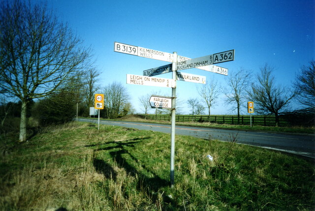
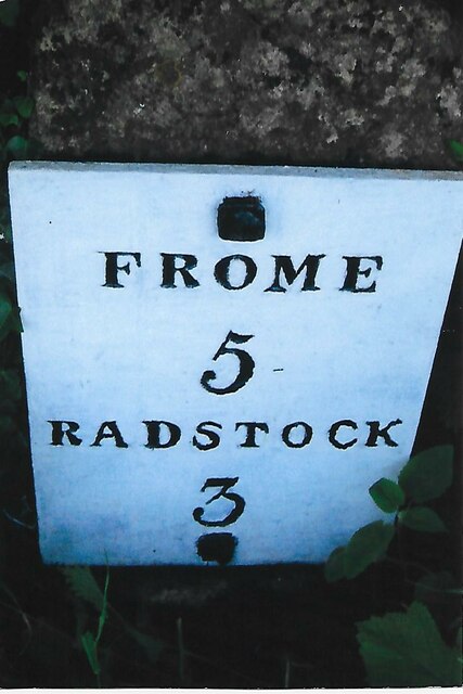
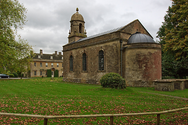
Buckland Lodge Plantation Images
Images are sourced within 2km of 51.266072/-2.4006559 or Grid Reference ST7251. Thanks to Geograph Open Source API. All images are credited.


Buckland Lodge Plantation is located at Grid Ref: ST7251 (Lat: 51.266072, Lng: -2.4006559)
Administrative County: Somerset
District: Mendip
Police Authority: Avon and Somerset
What 3 Words
///sketching.magnets.silently. Near Radstock, Somerset
Nearby Locations
Related Wikis

Kingsdown Camp
Kingsdown Camp is an Iron Age hillfort at Buckland Dinham 4.5 kilometres (3 mi) South East of Radstock, Somerset, England. It is a Scheduled Monument.It...
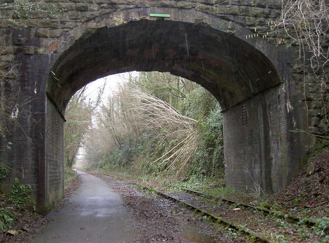
Mells Road railway station
Mells Road railway station served the village of Mells, Somerset, England from 1875 to 1959 linking Radstock to Frome, Somerset on the Heart of Wessex...

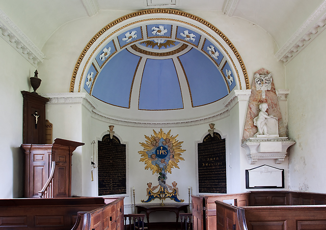
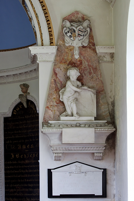
St Mary's Church, Hemington
St. Mary's Hemington is an Anglican church in Hemington, Somerset, England. The Norman church underwent major renovation in the 14th, 15th, 17th and 19th...

Ammerdown House, Kilmersdon
Ammerdown House in Kilmersdon, Somerset, England, was built in 1788. It has been designated as Grade I listed building.It was built as a country house...
Hemington, Somerset
Hemington is a village and civil parish 5.5 miles (8.9 km) north west of Frome, in the Mendip district of Somerset, England. It is located just off the...
Babington, Somerset
Babington is a small village between Radstock and Frome, Somerset, England, which has now largely disappeared. == History == In 1233 or 1234 much of the...

Babington House
Babington House is a Grade II* listed manor house, located in the village of Babington, between Radstock and Frome, in the county of Somerset, England...

Newbury Manor School
Newbury Manor School, formerly Farleigh College, is a mainly residential special school for pupils with Asperger syndrome, situated at Newbury, near Mells...
Nearby Amenities
Located within 500m of 51.266072,-2.4006559Have you been to Buckland Lodge Plantation?
Leave your review of Buckland Lodge Plantation below (or comments, questions and feedback).