Church Park Belt
Wood, Forest in Dorset
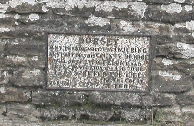
England
Church Park Belt
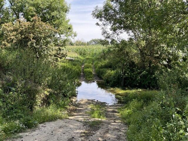
Church Park Belt is a picturesque woodland area located in Dorset, England. Covering an approximate area of several acres, this beautiful forest is nestled amidst the rolling hills and lush greenery of the region. The belt is named after the nearby Church Park, which adds to its charm and significance.
The woodland is predominantly composed of various species of trees, including oak, beech, and ash, which create a diverse and vibrant ecosystem. The dense canopy formed by these trees provides a serene and tranquil atmosphere, making the forest an ideal destination for nature lovers and hikers. The forest floor is carpeted with ferns, wildflowers, and mosses, further enhancing its natural beauty.
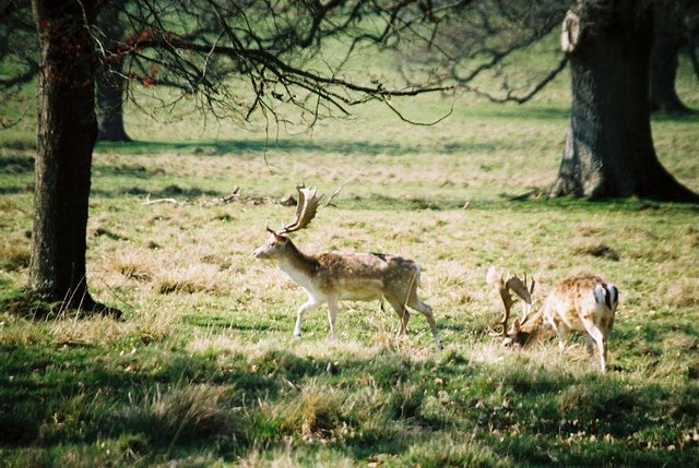
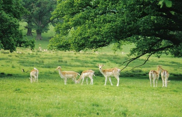
The Church Park Belt is home to a wide array of wildlife, including birds, squirrels, deer, and various small mammals. Birdwatchers can spot species such as woodpeckers, owls, and songbirds, making it a popular spot for birdwatching enthusiasts.
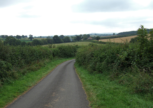
The forest offers several well-maintained trails that wind through the woodland, allowing visitors to explore its natural wonders and enjoy the peaceful surroundings. These paths are suitable for both leisurely strolls and more adventurous hikes, catering to visitors of all ages and fitness levels.
Church Park Belt is not only a haven for nature enthusiasts but also serves as an important ecological corridor, connecting different habitats and facilitating the movement of wildlife. Its conservation value is recognized by local authorities, who ensure its preservation and protection.
Overall, Church Park Belt in Dorset is a delightful woodland retreat, offering a serene escape from the hustle and bustle of everyday life. Its natural beauty, diverse wildlife, and well-maintained trails make it a must-visit destination for anyone seeking solace in nature.
If you have any feedback on the listing, please let us know in the comments section below.
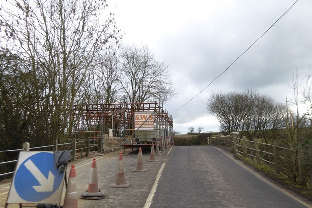
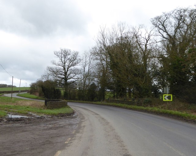
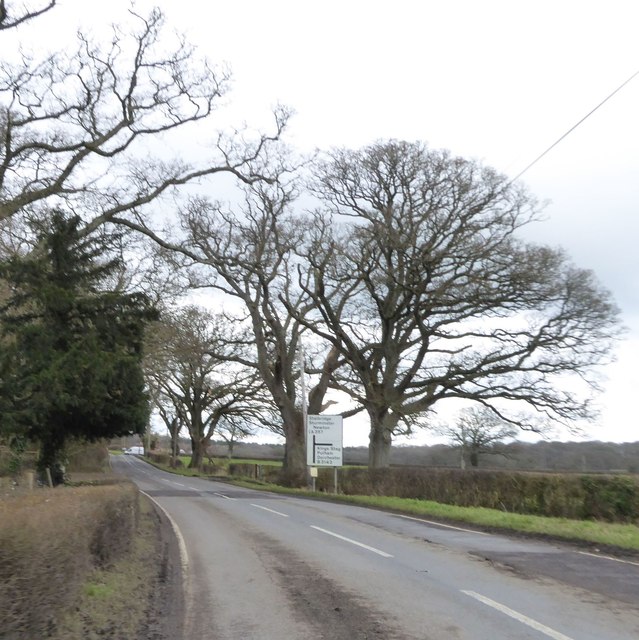
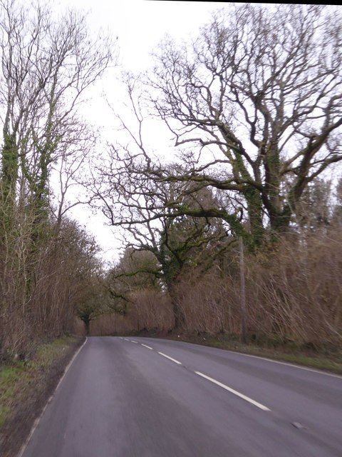
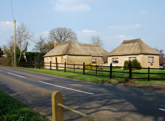
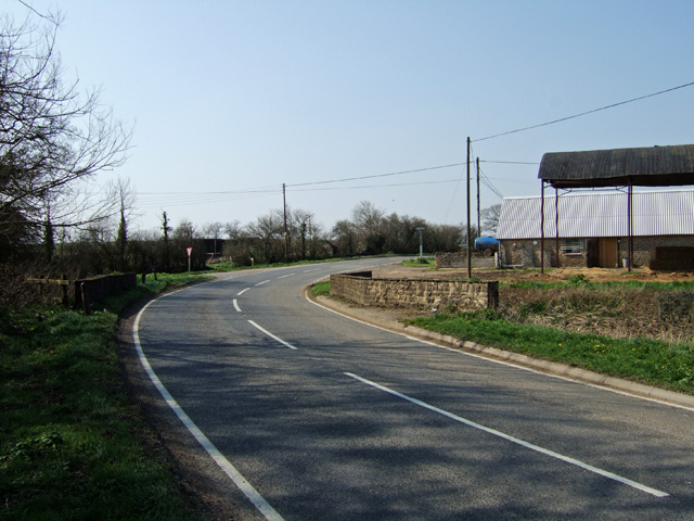
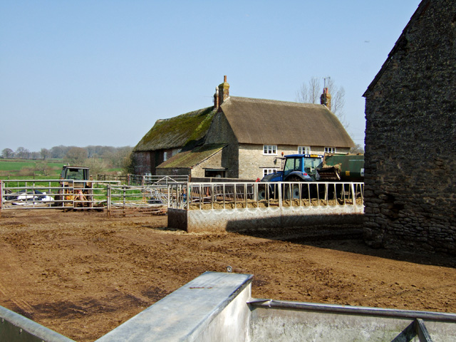
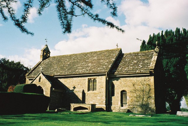
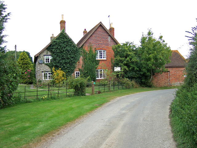
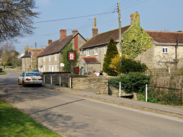
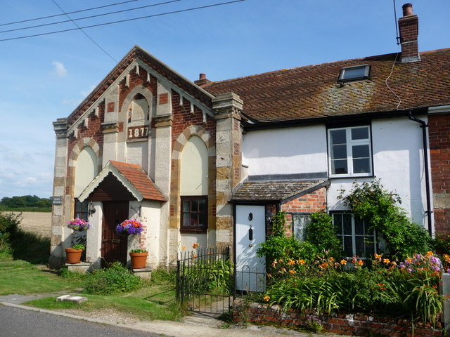
Church Park Belt Images
Images are sourced within 2km of 50.910695/-2.3975241 or Grid Reference ST7212. Thanks to Geograph Open Source API. All images are credited.

Church Park Belt is located at Grid Ref: ST7212 (Lat: 50.910695, Lng: -2.3975241)
Unitary Authority: Dorset
Police Authority: Dorset
What 3 Words
///mocked.voice.complies. Near Stalbridge, Dorset
Nearby Locations
Related Wikis

Woodbridge, Dorset
Woodbridge is a hamlet in Dorset, England. The village is on the A3030 road and to the north east of Holwell. == History == Woodbridge was part of the...

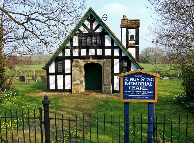
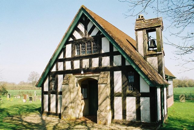
King's Stag Memorial Chapel
King's Stag Memorial Chapel is a Church of England chapel in King's Stag, Dorset, England. == History == The memorial chapel at King's Stag was built in...

Lydlinch
Lydlinch is a village and civil parish in the Blackmore Vale in north Dorset, England, about three miles (five kilometres) west of Sturminster Newton....

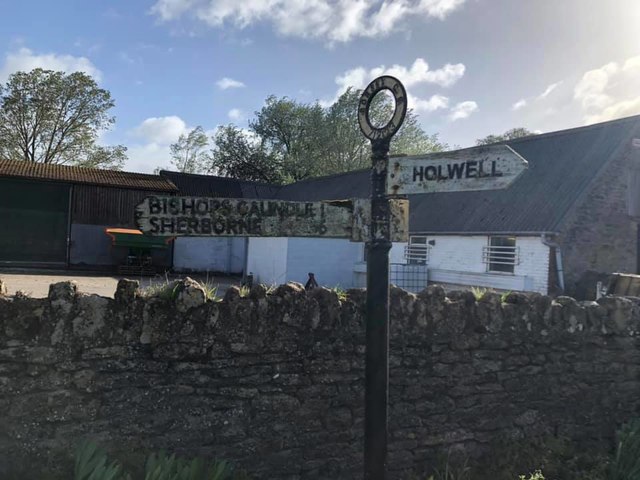
Holwell, Dorset
Holwell is a village and civil parish in the county of Dorset in southern England, situated approximately 5 miles (8.0 km) south-east of Sherborne. It...
Stourton Caundle
Stourton Caundle is a village and civil parish in the county of Dorset in southwest England. It lies within the Blackmore Vale, about five miles (eight...

Bishop's Caundle
Bishop's Caundle is a village and civil parish in Dorset, South West England. It is situated 6 miles (9.7 km) south-east of Sherborne. The local travel...

Caundle Brook
Caundle Brook is a 13.4 miles (21.6 km) tributary of the River Lydden that flows through Blackmore Vale in Dorset, England.Its headwaters rise at the foot...
Bagber
Bagber is a hamlet in the county of Dorset in southern England, situated about 2 miles (3.2 km) west and northwest of Sturminster Newton in the North Dorset...
Nearby Amenities
Located within 500m of 50.910695,-2.3975241Have you been to Church Park Belt?
Leave your review of Church Park Belt below (or comments, questions and feedback).