Anna Park
Downs, Moorland in Midlothian
Scotland
Anna Park
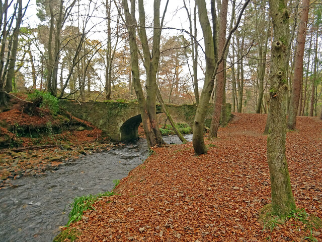
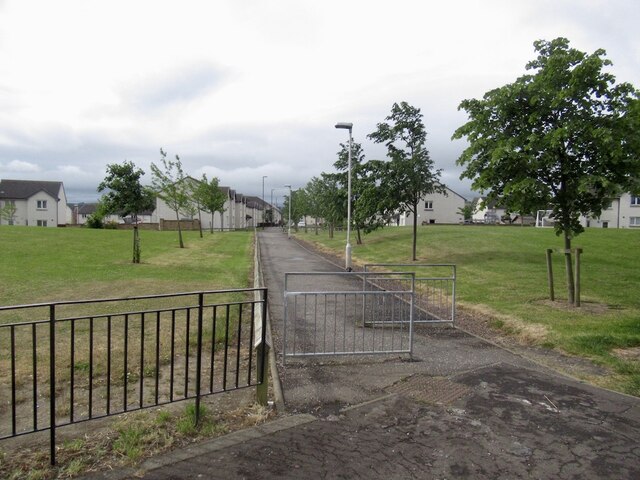
Anna Park is a picturesque park located in Midlothian, Scotland. Situated in the downs and moorland area, it offers visitors a serene and tranquil environment to unwind and connect with nature. Spanning over a vast area, Anna Park is renowned for its beautiful landscapes, abundant wildlife, and recreational facilities.
The park boasts a diverse range of vegetation, including lush meadows, heather-covered moorlands, and dense woodlands. This rich variety of habitats attracts numerous species of birds, making it a haven for birdwatchers and nature enthusiasts. Visitors can spot birds such as kestrels, peregrine falcons, and various songbirds, adding to the park's charm.
For those seeking outdoor activities, Anna Park offers a plethora of options. The park features well-maintained walking trails that wind through its stunning landscapes, providing an excellent opportunity for leisurely strolls or invigorating hikes. Cyclists can also enjoy the park, with designated paths offering a scenic and enjoyable biking experience.
Apart from its natural beauty, Anna Park provides amenities for families and children. The park features playgrounds equipped with swings, slides, and climbing frames, ensuring that younger visitors have a fun-filled experience. Additionally, there are picnic areas where families can relax and enjoy a meal amidst the park's idyllic surroundings.
Anna Park, Midlothian (Downs, Moorland) is truly a gem for nature lovers, offering a blend of stunning scenery, abundant wildlife, and recreational facilities. Whether visitors seek tranquility, outdoor activities, or a family day out, this park has something to offer for everyone.
If you have any feedback on the listing, please let us know in the comments section below.
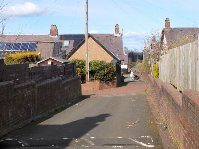
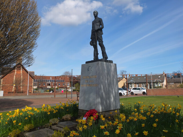
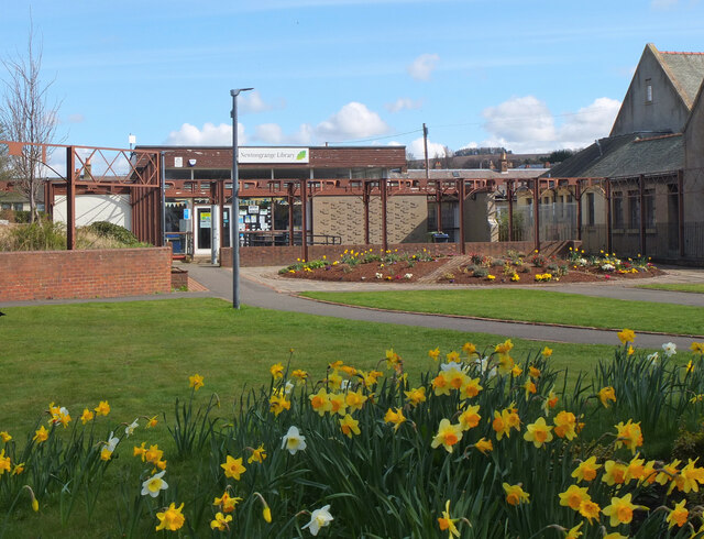
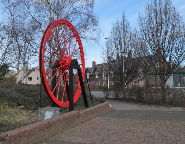
Anna Park Images
Images are sourced within 2km of 55.859187/-3.0827951 or Grid Reference NT3263. Thanks to Geograph Open Source API. All images are credited.
Anna Park is located at Grid Ref: NT3263 (Lat: 55.859187, Lng: -3.0827951)
Unitary Authority: Midlothian
Police Authority: The Lothians and Scottish Borders
What 3 Words
///stays.solved.breed. Near Bonnyrigg, Midlothian
Nearby Locations
Related Wikis
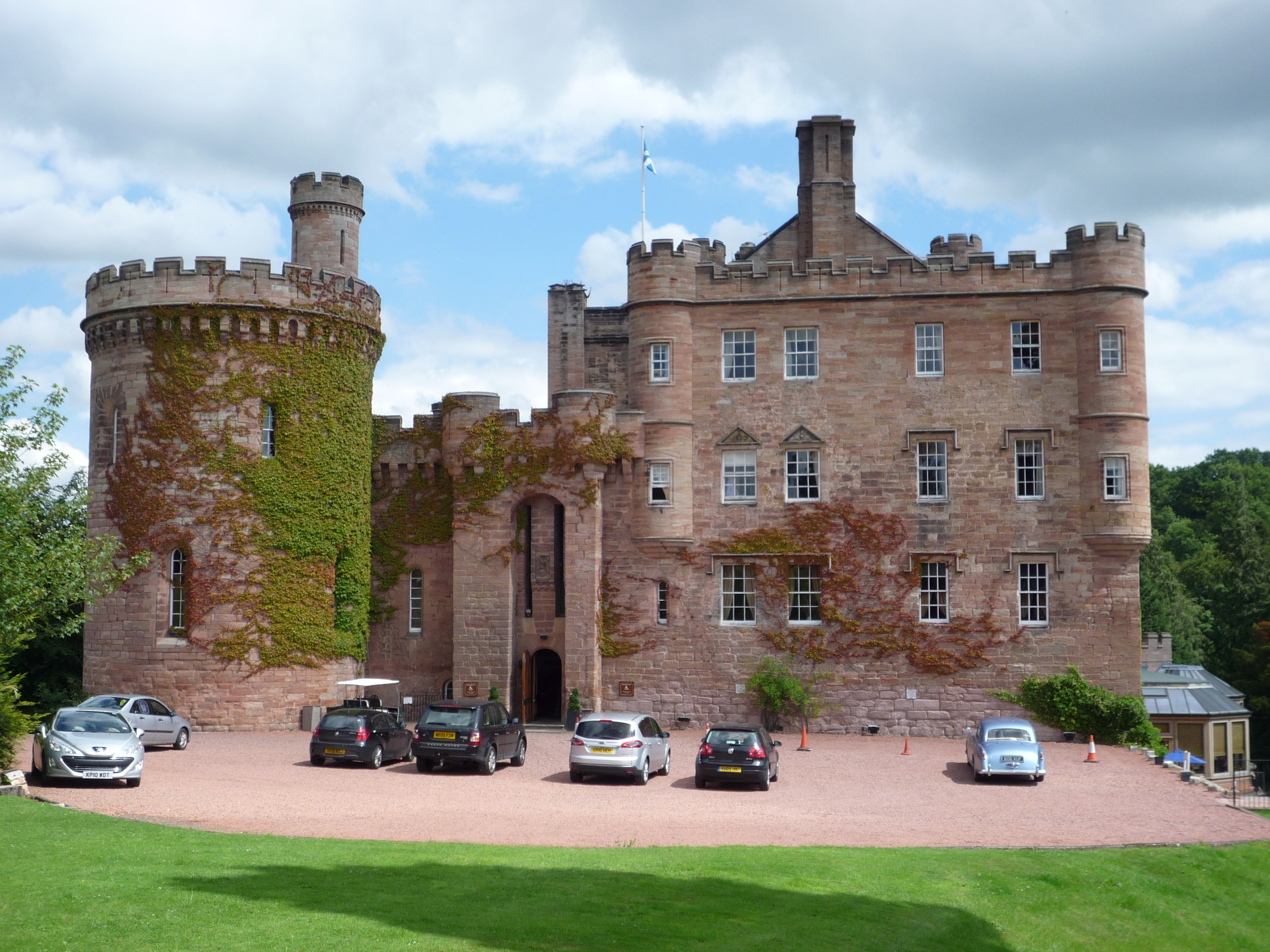
Dalhousie Castle
Dalhousie Castle is a castle in Cockpen, Midlothian, Scotland. Dalhousie Castle is situated near the town of Bonnyrigg, 8 miles (13 km) south of Edinburgh...

Cockpen and Carrington Parish Church
Cockpen and Carrington Parish Church is located to the south of the town of Bonnyrigg in Midlothian, Scotland. It is a congregation of the Church of Scotland...

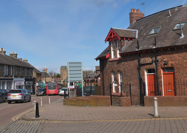
Cockpen
Cockpen is a parish in Midlothian, Scotland, containing at its north-west corner the town of Bonnyrigg, which lies two miles (3.2 km) south-west of Dalkeith...
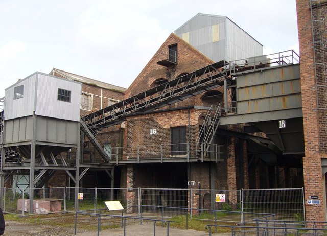
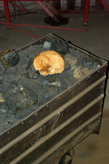
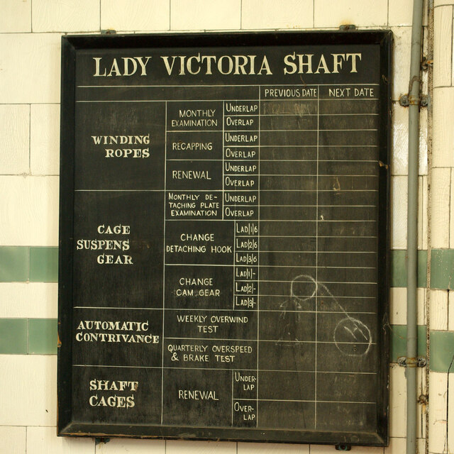
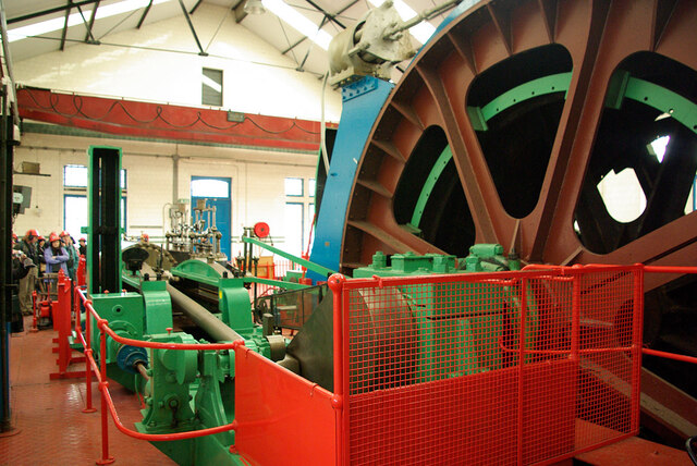
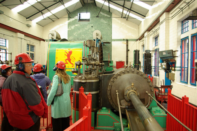
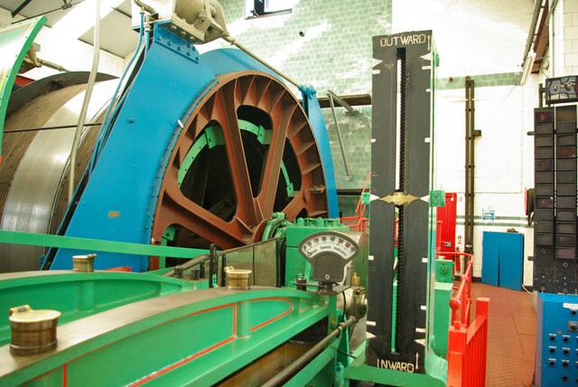
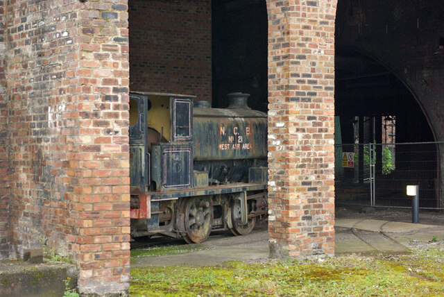
National Mining Museum Scotland
The National Mining Museum Scotland was created in 1984, to preserve the physical surface remains of Lady Victoria Colliery at Newtongrange, Midlothian...

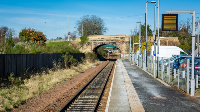
Newtongrange railway station
Newtongrange is a railway station on the Borders Railway, which runs between Edinburgh Waverley and Tweedbank. The station, situated 11 miles 77 chains...

Newbattle
Newbattle (from Neubotle, i.e. new dwelling) is a village and civil parish in Midlothian, in the ancient Roman Catholic Diocese of St. Andrews, about seven...

Newtongrange
Newtongrange () is a former mining village in Midlothian, Scotland. Known in local dialect as Nitten, or Nitten by the Bing (), it became Scotland's largest...
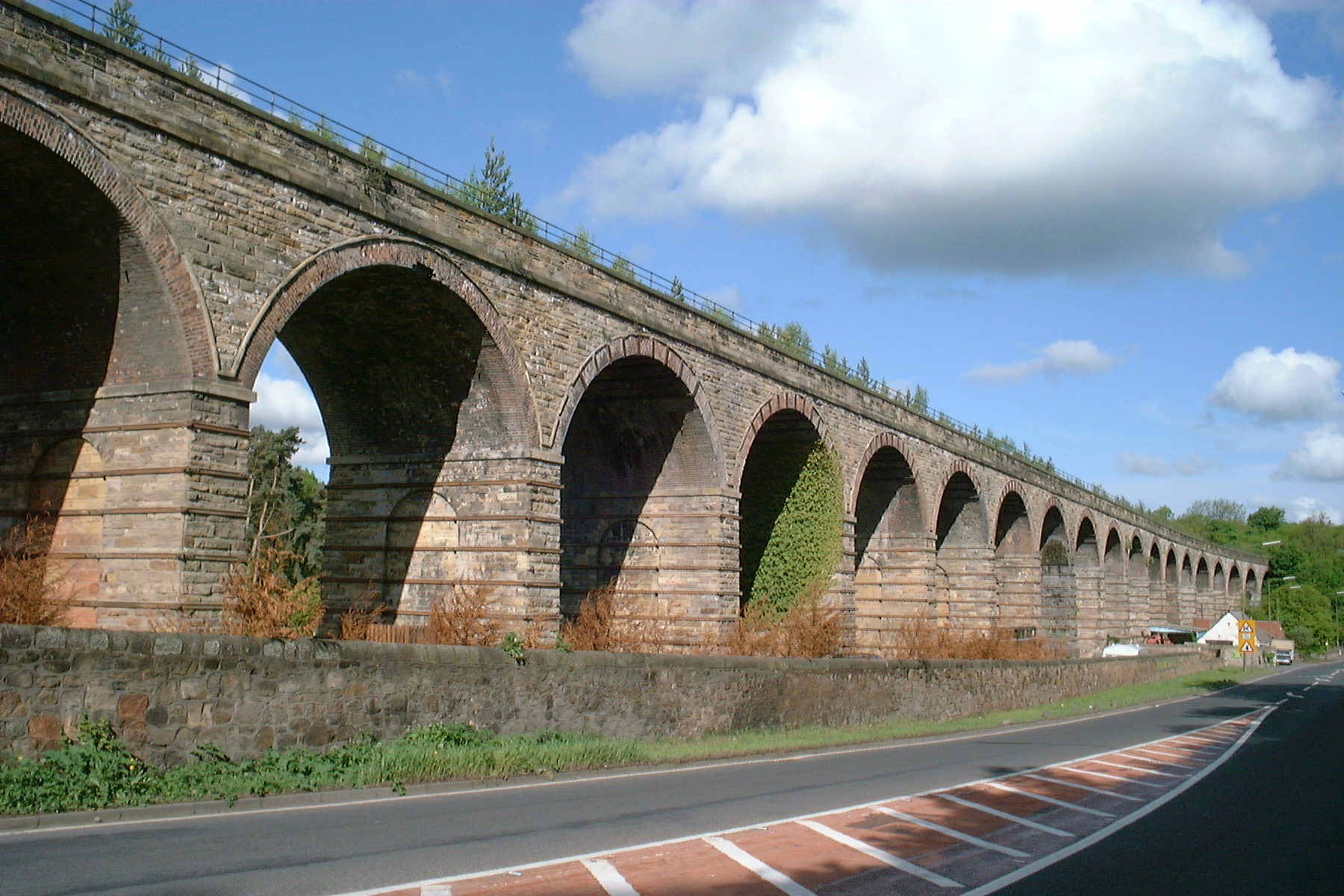
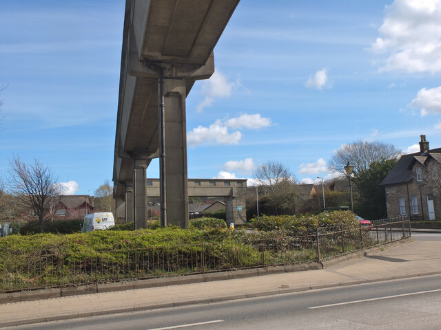
Newbattle Viaduct
The Newbattle Viaduct, sometimes also called the Lothianbridge, Newtongrange or Dalhousie Viaduct, carries the Borders Railway, which opened in 2015, over...
Nearby Amenities
Located within 500m of 55.859187,-3.0827951Have you been to Anna Park?
Leave your review of Anna Park below (or comments, questions and feedback).