Castle Dean Wood
Wood, Forest in Midlothian
Scotland
Castle Dean Wood
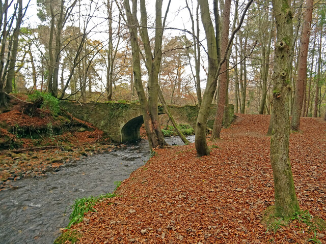
Castle Dean Wood is a picturesque forest located in the Midlothian region of Scotland. Covering an area of approximately 200 acres, it is a popular destination for nature enthusiasts and outdoor enthusiasts alike.
The wood is characterized by its diverse range of tree species, including oak, birch, and beech. These trees create a vibrant tapestry of colors during the autumn months, making it a stunning sight for visitors. The forest floor is also home to a rich variety of flora, including bluebells, wild garlic, and ferns.
Castle Dean Wood is well-known for its wildlife, with a plethora of animal species calling it home. Visitors may catch a glimpse of red deer, squirrels, and a wide array of bird species, including woodpeckers and owls. The wood is also renowned for its population of red kites, which can often be seen soaring above the treetops.
The wood is intersected by several walking trails, providing visitors with the opportunity to explore the area at their own pace. These trails range in difficulty, making them suitable for both experienced hikers and families with children. Along the way, visitors can enjoy the peaceful ambiance of the forest and take in the breathtaking views of the surrounding countryside.
Castle Dean Wood is not only a haven for nature lovers but also holds historical significance. The remains of Dean Castle, a 14th-century fortress, can be found within the wood. These ruins offer a glimpse into the area's past and add an element of intrigue to the overall experience.
Overall, Castle Dean Wood is a captivating destination that offers a harmonious blend of natural beauty and historical interest. Whether it's for a leisurely stroll, bird watching, or a history lesson, this forest has something to offer for everyone.
If you have any feedback on the listing, please let us know in the comments section below.
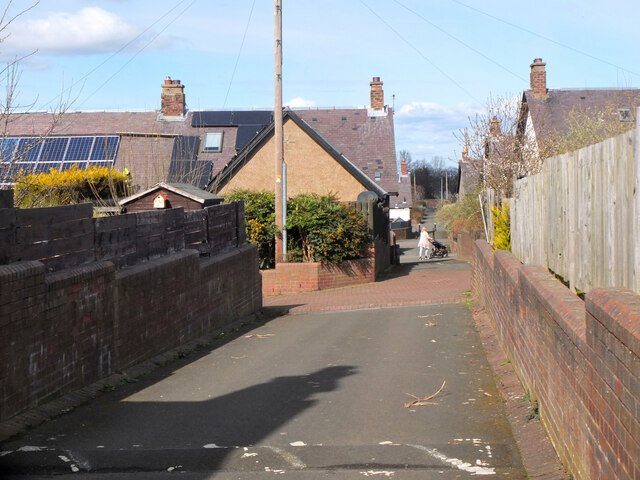
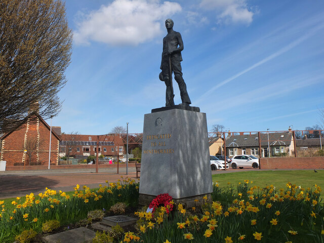
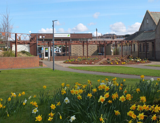
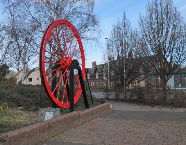
Castle Dean Wood Images
Images are sourced within 2km of 55.857584/-3.0852267 or Grid Reference NT3263. Thanks to Geograph Open Source API. All images are credited.
Castle Dean Wood is located at Grid Ref: NT3263 (Lat: 55.857584, Lng: -3.0852267)
Unitary Authority: Midlothian
Police Authority: The Lothians and Scottish Borders
What 3 Words
///dormant.solution.typed. Near Bonnyrigg, Midlothian
Nearby Locations
Related Wikis
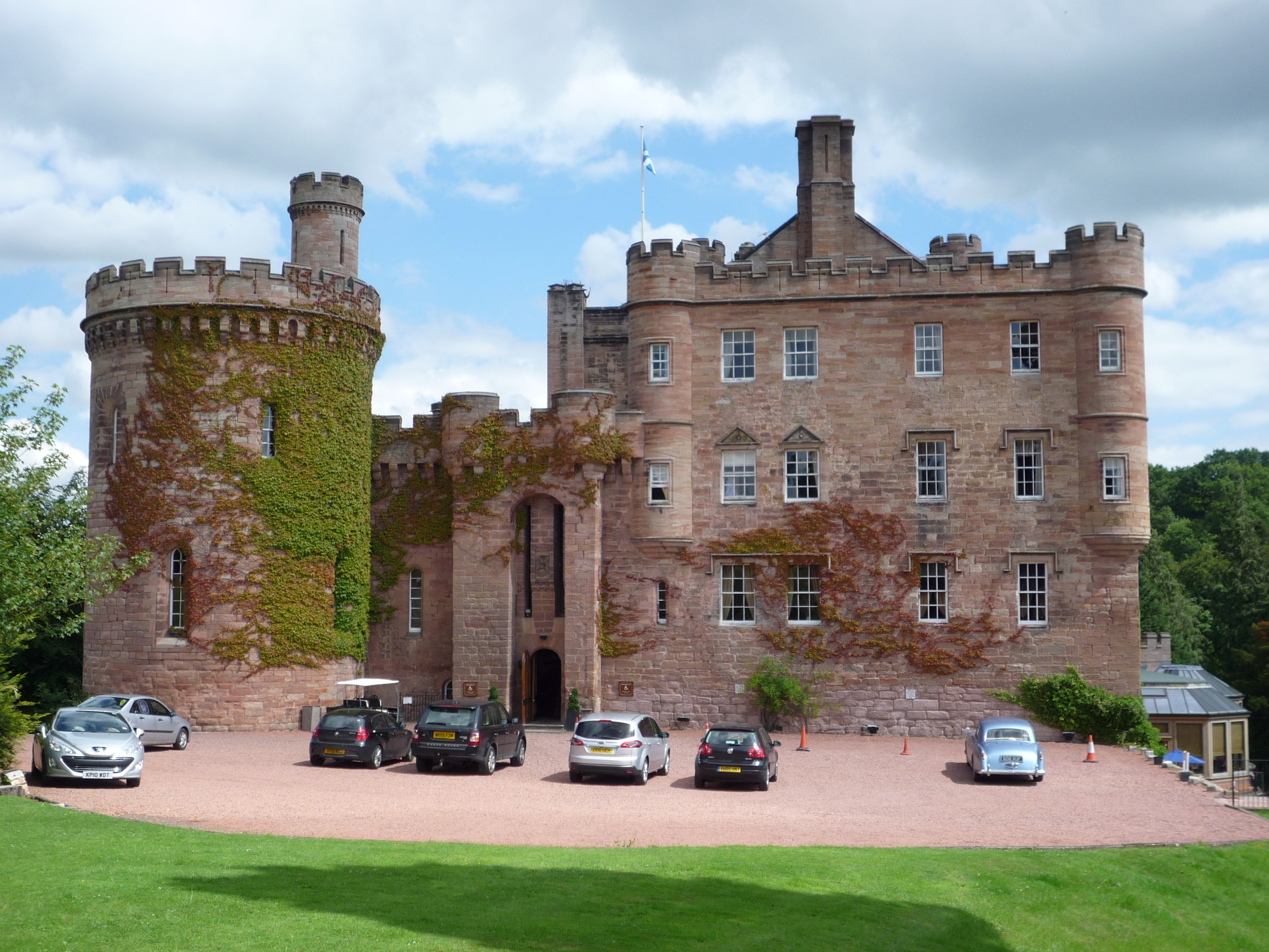
Dalhousie Castle
Dalhousie Castle is a castle in Cockpen, Midlothian, Scotland. Dalhousie Castle is situated near the town of Bonnyrigg, 8 miles (13 km) south of Edinburgh...

Cockpen and Carrington Parish Church
Cockpen and Carrington Parish Church is located to the south of the town of Bonnyrigg in Midlothian, Scotland. It is a congregation of the Church of Scotland...

Cockpen
Cockpen is a parish in Midlothian, Scotland, containing at its north-west corner the town of Bonnyrigg, which lies two miles (3.2 km) south-west of Dalkeith...
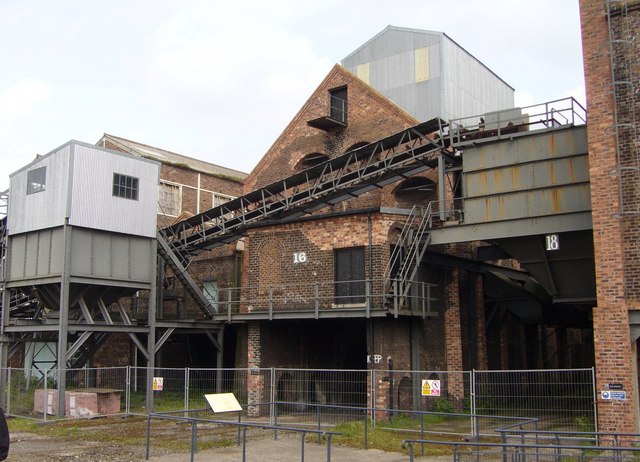
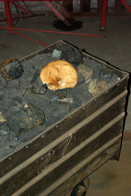
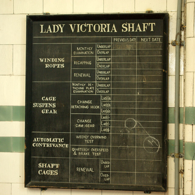
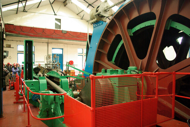
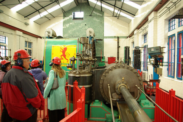
National Mining Museum Scotland
The National Mining Museum Scotland was created in 1984, to preserve the physical surface remains of Lady Victoria Colliery at Newtongrange, Midlothian...

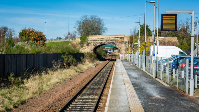
Newtongrange railway station
Newtongrange is a railway station on the Borders Railway, which runs between Edinburgh Waverley and Tweedbank. The station, situated 11 miles 77 chains...

Newbattle
Newbattle (from Neubotle, i.e. new dwelling) is a village and civil parish in Midlothian, in the ancient Roman Catholic Diocese of St. Andrews, about seven...

Newtongrange
Newtongrange () is a former mining village in Midlothian, Scotland. Known in local dialect as Nitten, or Nitten by the Bing (), it became Scotland's largest...
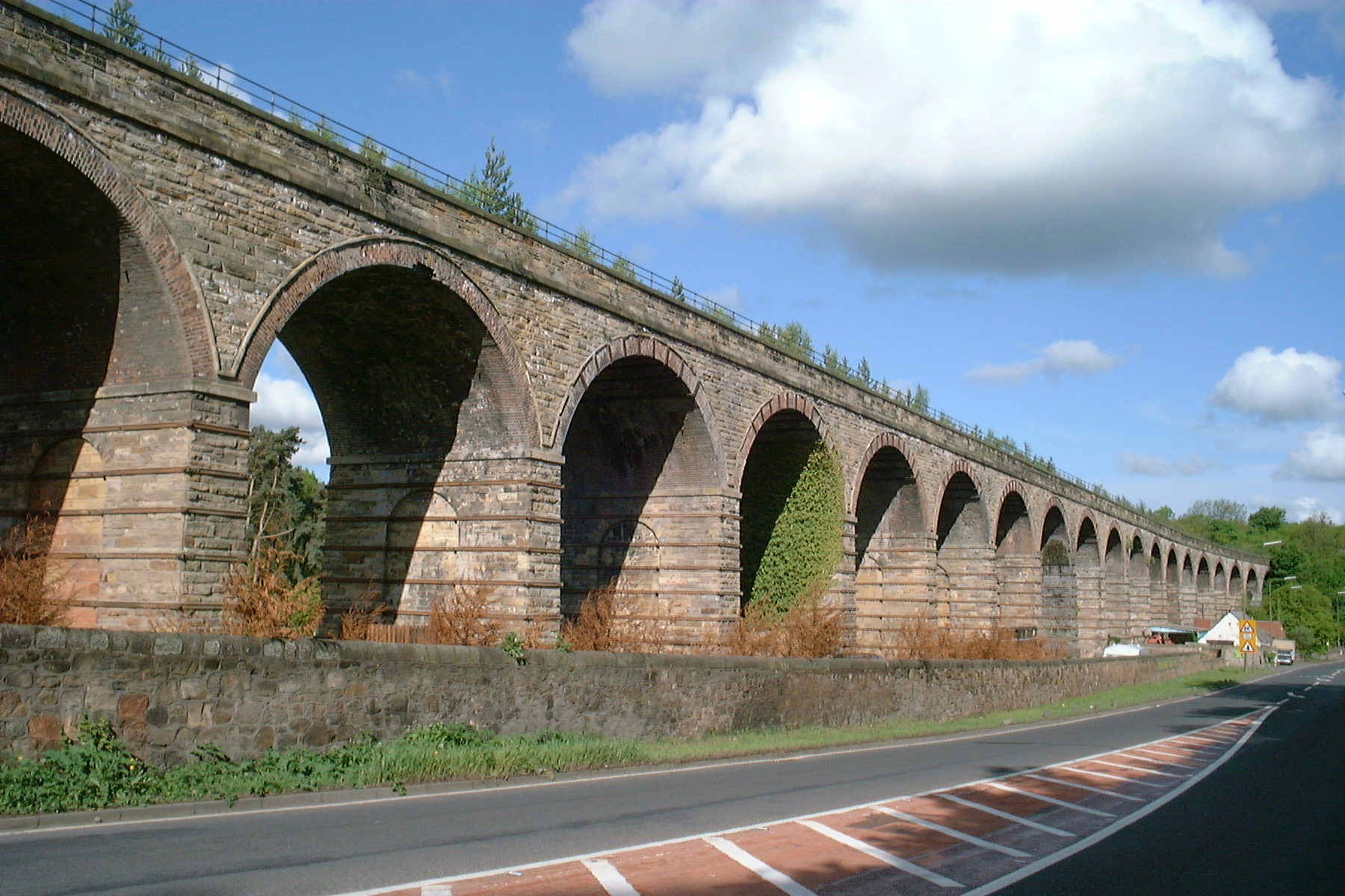
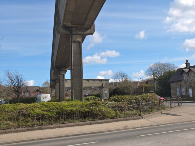
Newbattle Viaduct
The Newbattle Viaduct, sometimes also called the Lothianbridge, Newtongrange or Dalhousie Viaduct, carries the Borders Railway, which opened in 2015, over...
Related Videos


Gore Glen | Midlothian | Scotland in Autumn | Bengali Travel Vlog
Enjoy the tranquility of Gore Glen Woodland Park, that too, just couple of minutes from Edinburgh City Center. I have visited the ...

Dalhousie Castle Hotel & Spa
Step inside Scotland's oldest inhabited castle A fortress fit for a king or queen with blissful spa facilities, award-winning fine dining ...

Turf Video 09-07-22 - Dalhousie Castle Trails
A turf walk around Dalhousie Castle Hotel near Bonnyrigg, Midlothian.
Nearby Amenities
Located within 500m of 55.857584,-3.0852267Have you been to Castle Dean Wood?
Leave your review of Castle Dean Wood below (or comments, questions and feedback).