Castle Park
Downs, Moorland in Midlothian
Scotland
Castle Park
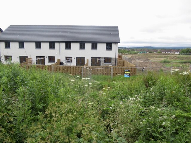
Castle Park, located in Midlothian, Scotland, is a stunning green space that encompasses the picturesque areas of Downs and Moorland. Spanning over a vast area, this park offers visitors an opportunity to immerse themselves in the beauty of nature and explore its diverse landscapes and historical attractions.
One of the highlights of Castle Park is its enchanting castle ruins, which date back to the 15th century. These ruins provide a glimpse into the rich history of the area and serve as a fascinating backdrop for leisurely walks and photography enthusiasts.
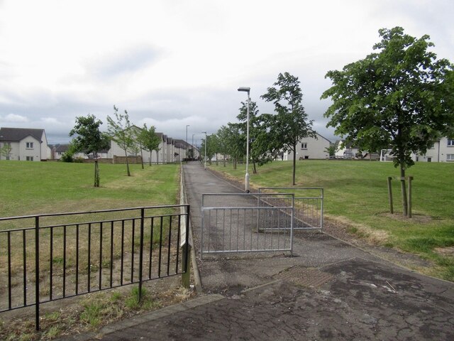
The park's Downs region boasts rolling hills and expansive grasslands, offering visitors a tranquil setting for picnics, sports activities, or simply enjoying a peaceful stroll. The area is adorned with vibrant wildflowers during the summer months, creating a breathtaking natural spectacle.
In contrast, the Moorland area of Castle Park provides a more rugged terrain, with heather-clad hills and dense forests. This section of the park is ideal for hiking enthusiasts, who can explore the well-maintained trails that wind through the rugged landscape. The Moorland also offers opportunities for birdwatching, as it is home to a variety of species, including buzzards and kestrels.
Castle Park, Midlothian, is a haven for nature lovers and history enthusiasts alike. Its unique combination of castle ruins, rolling hills, and dense forests offers a diverse range of activities and experiences. Whether one seeks solitude amidst nature or a glimpse into the past, Castle Park is sure to leave a lasting impression.
If you have any feedback on the listing, please let us know in the comments section below.
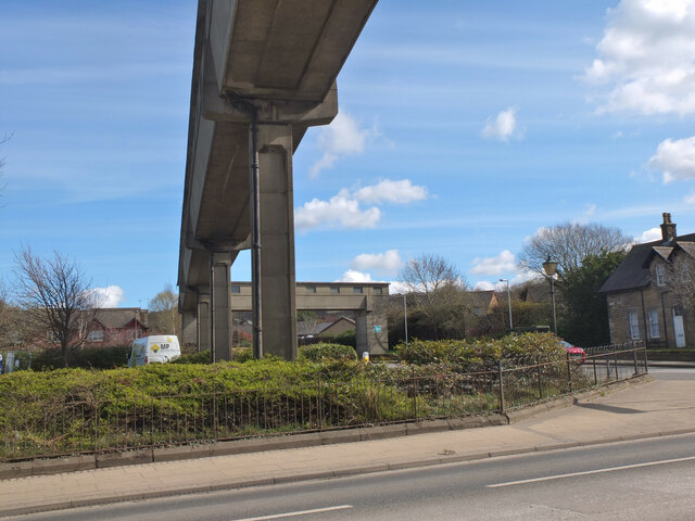
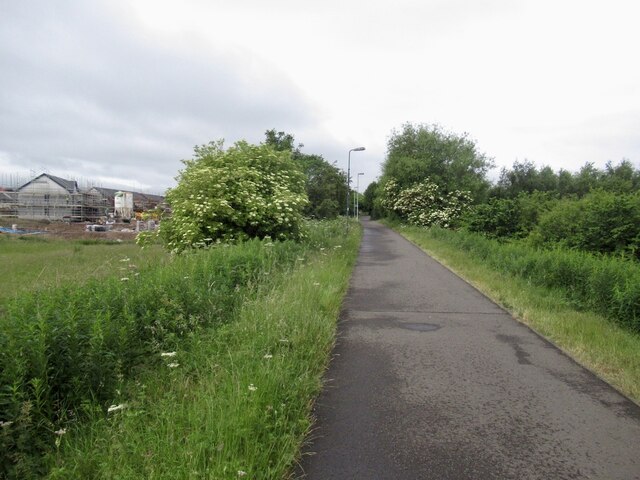
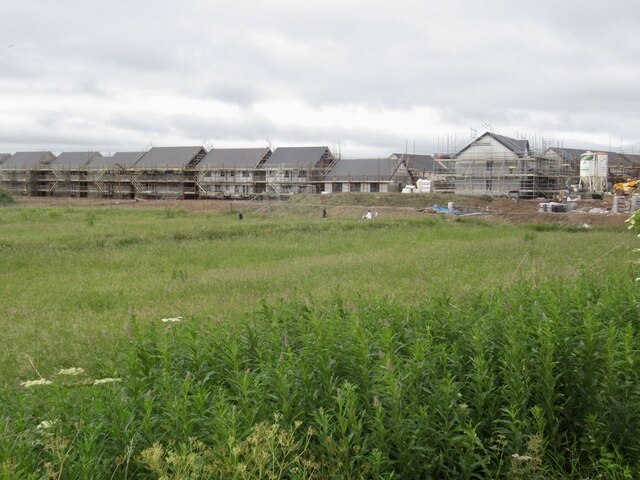
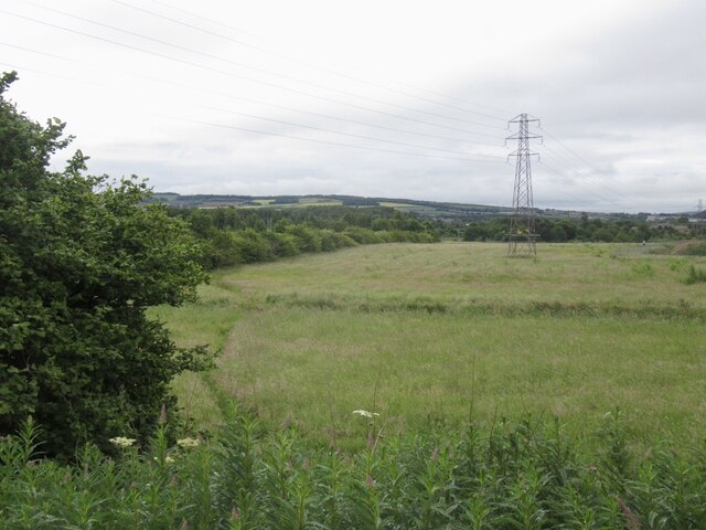
Castle Park Images
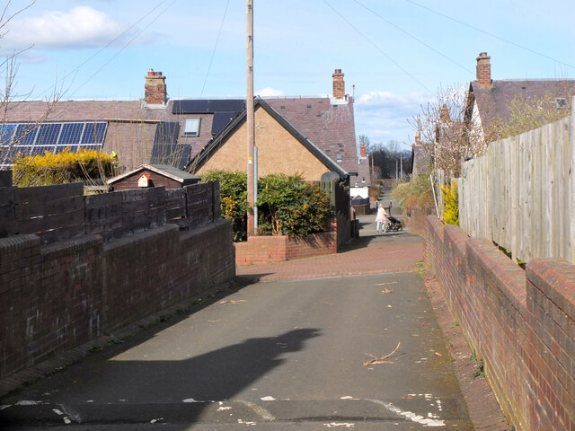
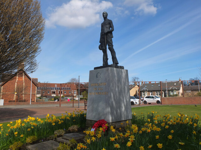
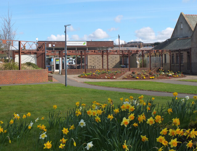
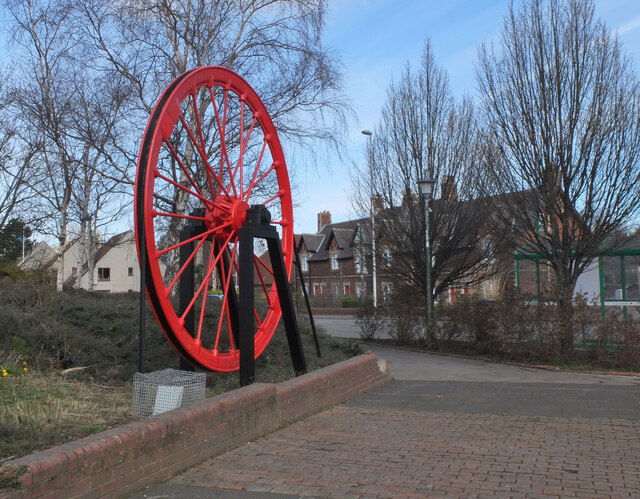
Images are sourced within 2km of 55.861733/-3.0844477 or Grid Reference NT3263. Thanks to Geograph Open Source API. All images are credited.


Castle Park is located at Grid Ref: NT3263 (Lat: 55.861733, Lng: -3.0844477)
Unitary Authority: Midlothian
Police Authority: The Lothians and Scottish Borders
What 3 Words
///remember.underline.fault. Near Bonnyrigg, Midlothian
Nearby Locations
Related Wikis
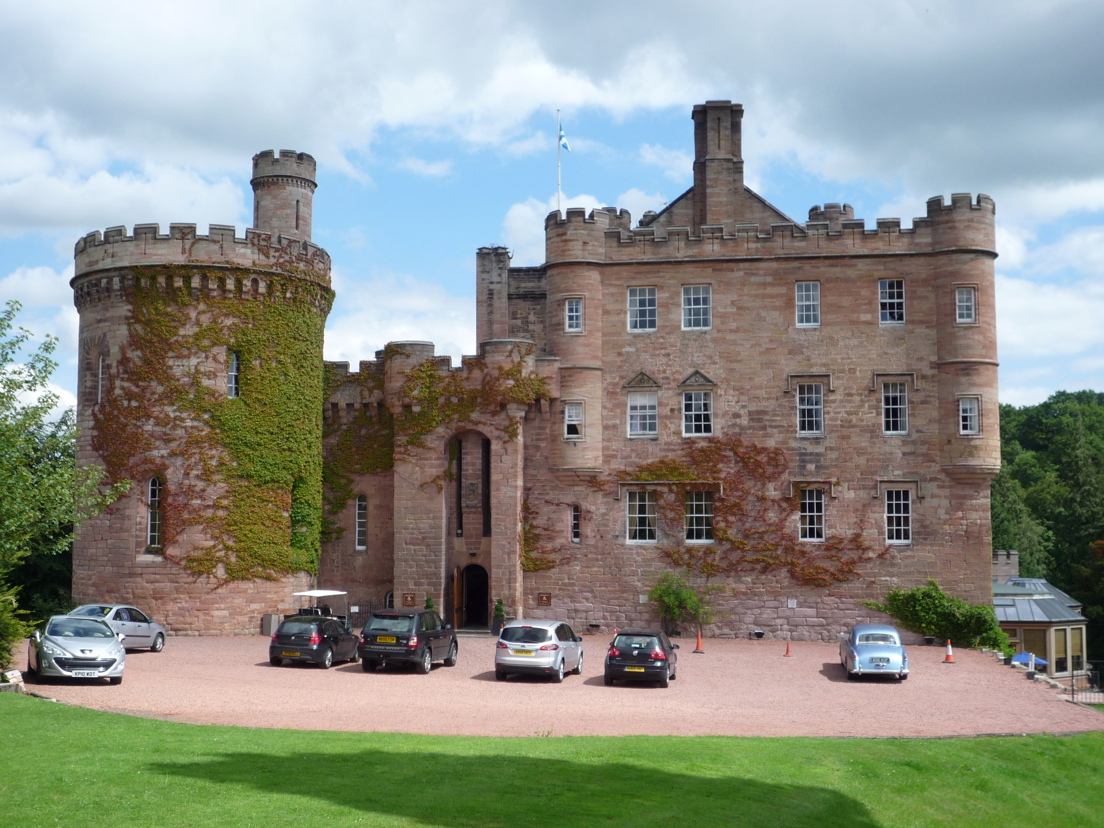
Dalhousie Castle
Dalhousie Castle is a castle in Cockpen, Midlothian, Scotland. Dalhousie Castle is situated near the town of Bonnyrigg, 8 miles (13 km) south of Edinburgh...

Cockpen and Carrington Parish Church
Cockpen and Carrington Parish Church is located to the south of the town of Bonnyrigg in Midlothian, Scotland. It is a congregation of the Church of Scotland...

Cockpen
Cockpen is a parish in Midlothian, Scotland, containing at its north-west corner the town of Bonnyrigg, which lies two miles (3.2 km) south-west of Dalkeith...

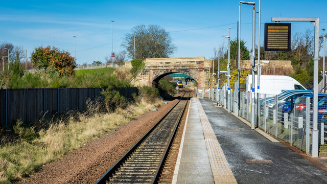
Newtongrange railway station
Newtongrange is a railway station on the Borders Railway, which runs between Edinburgh Waverley and Tweedbank. The station, situated 11 miles 77 chains...
Nearby Amenities
Located within 500m of 55.861733,-3.0844477Have you been to Castle Park?
Leave your review of Castle Park below (or comments, questions and feedback).