Dalhousie Castle
Heritage Site in Midlothian
Scotland
Dalhousie Castle
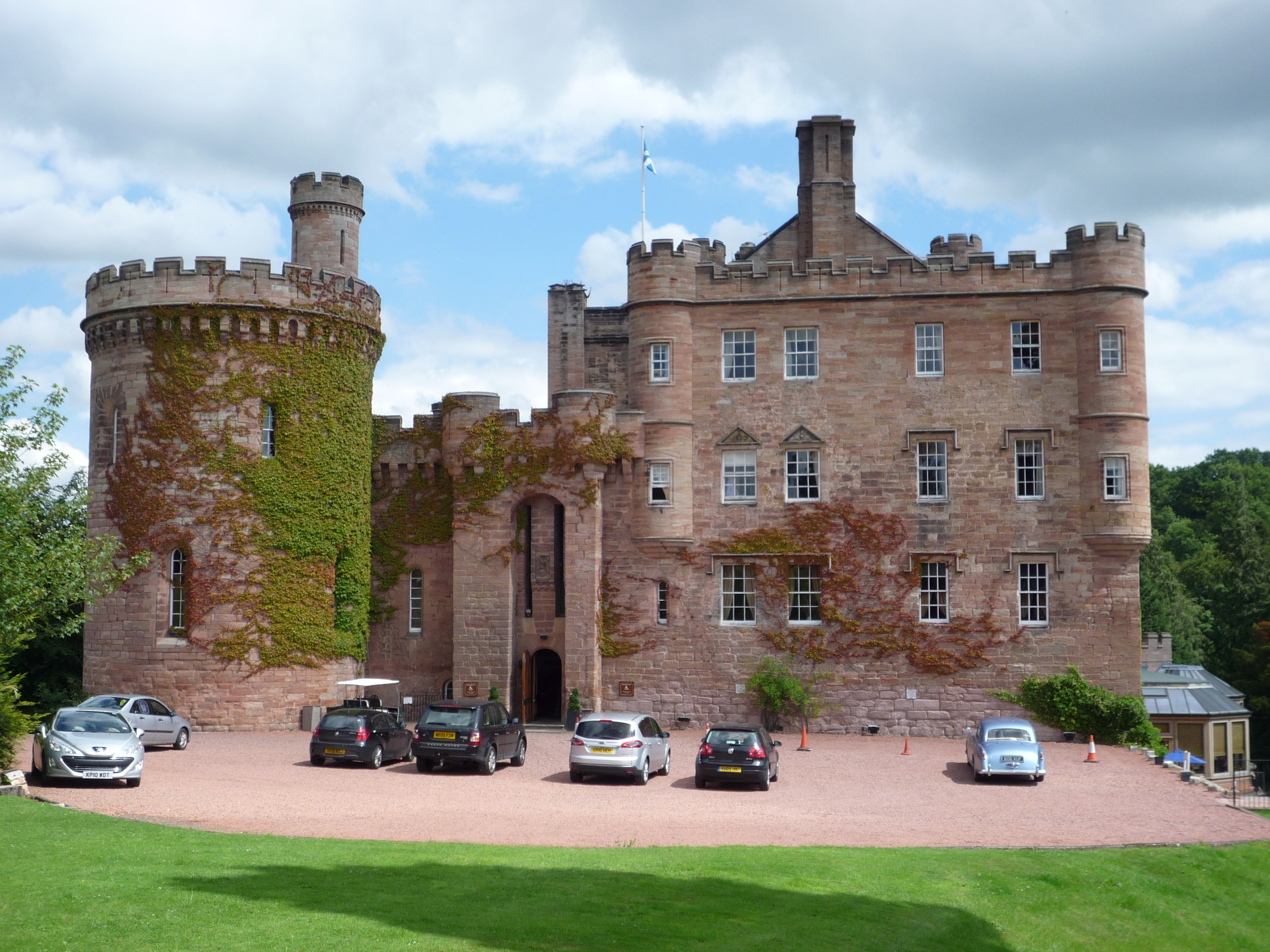
Dalhousie Castle is a historic castle located in Midlothian, Scotland. Situated on the banks of the River Esk, the castle dates back to the 13th century and is renowned for its rich history and stunning architecture.
Originally built as a defensive fortress, Dalhousie Castle has undergone several transformations over the centuries. It was once a stronghold for the powerful Ramsay family and played a significant role in Scotland's turbulent past. The castle has witnessed various battles and sieges, including the famous Battle of Roslin in 1303 during the Scottish Wars of Independence.
The castle's architecture reflects its medieval origins, with its imposing stone walls, turrets, and a drawbridge. The interior of Dalhousie Castle has been meticulously restored, blending historical features with modern comforts. The castle boasts luxurious rooms, elegant lounges, and a charming courtyard, providing a unique and memorable experience to its guests.
Today, Dalhousie Castle serves as a luxury hotel and is a popular destination for tourists and history enthusiasts alike. Visitors can explore the castle's extensive grounds, which include beautiful gardens, a falconry center, and even a secret dungeon. The castle also offers a range of activities such as archery, horseback riding, and spa treatments.
As a designated heritage site, Dalhousie Castle is not only a testament to Scotland's rich past but also a testament to the enduring beauty and significance of its historical landmarks.
If you have any feedback on the listing, please let us know in the comments section below.
Dalhousie Castle Images
Images are sourced within 2km of 55.86/-3.078 or Grid Reference NT3263. Thanks to Geograph Open Source API. All images are credited.
Dalhousie Castle is located at Grid Ref: NT3263 (Lat: 55.86, Lng: -3.078)
Unitary Authority: Midlothian
Police Authority: The Lothians and Scottish Borders
What 3 Words
///tribes.nuns.shock. Near Bonnyrigg, Midlothian
Nearby Locations
Related Wikis
Dalhousie Castle
Dalhousie Castle is a castle in Cockpen, Midlothian, Scotland. Dalhousie Castle is situated near the town of Bonnyrigg, 8 miles (13 km) south of Edinburgh...
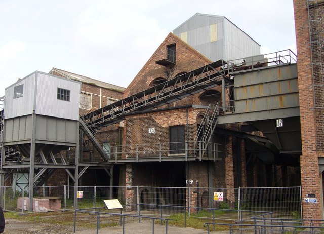
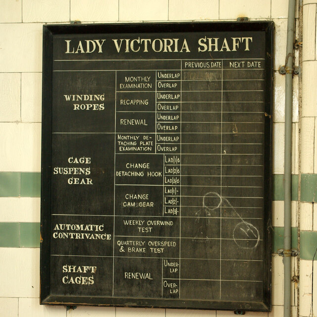
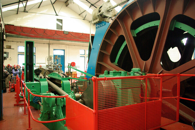
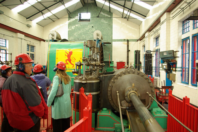
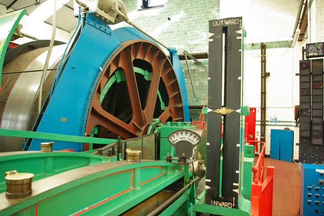
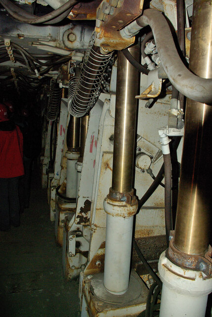
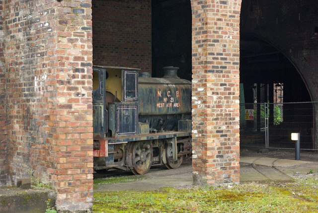
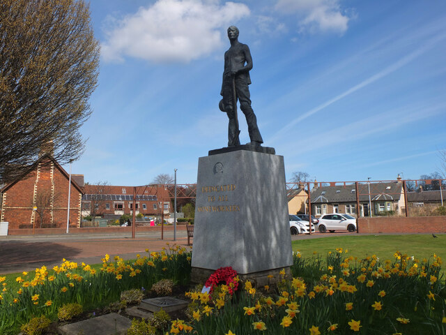
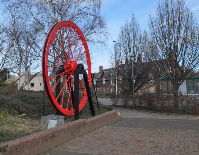
National Mining Museum Scotland
The National Mining Museum Scotland was created in 1984, to preserve the physical surface remains of Lady Victoria Colliery at Newtongrange, Midlothian...

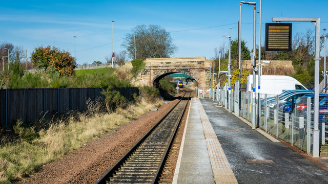
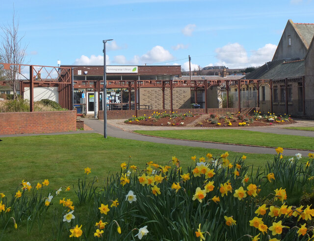
Newtongrange railway station
Newtongrange is a railway station on the Borders Railway, which runs between Edinburgh Waverley and Tweedbank. The station, situated 11 miles 77 chains...

Cockpen and Carrington Parish Church
Cockpen and Carrington Parish Church is located to the south of the town of Bonnyrigg in Midlothian, Scotland. It is a congregation of the Church of Scotland...

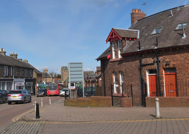
Cockpen
Cockpen is a parish in Midlothian, Scotland, containing at its north-west corner the town of Bonnyrigg, which lies two miles (3.2 km) south-west of Dalkeith...

Newbattle
Newbattle (from Neubotle, i.e. new dwelling) is a village and civil parish in Midlothian, in the ancient Roman Catholic Diocese of St. Andrews, about seven...

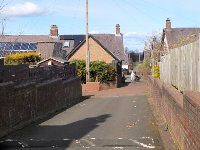
Newtongrange
Newtongrange () is a former mining village in Midlothian, Scotland. Known in local dialect as Nitten, or Nitten by the Bing (), it became Scotland's largest...
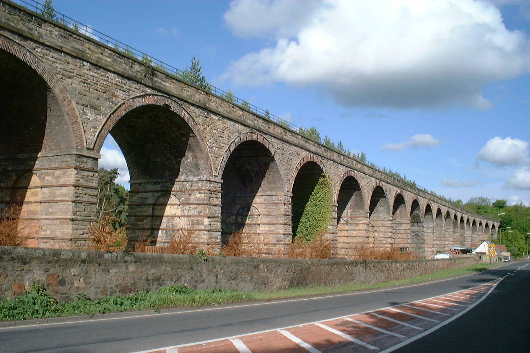
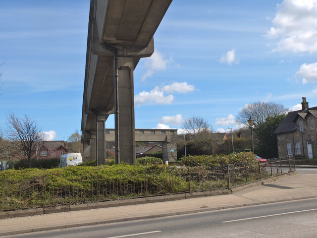
Newbattle Viaduct
The Newbattle Viaduct, sometimes also called the Lothianbridge, Newtongrange or Dalhousie Viaduct, carries the Borders Railway, which opened in 2015, over...
Nearby Amenities
Located within 500m of 55.86,-3.078Have you been to Dalhousie Castle?
Leave your review of Dalhousie Castle below (or comments, questions and feedback).