Fancy Grove Wood
Wood, Forest in Midlothian
Scotland
Fancy Grove Wood

Fancy Grove Wood is a picturesque forest located in the charming town of Midlothian, Scotland. Spanning approximately 100 acres, this woodland is a popular destination for nature enthusiasts, hikers, and wildlife observers.
The wood is primarily composed of native trees such as oak, birch, and beech, creating a diverse and vibrant ecosystem. The dense canopy provides a cool and shaded environment, making it an ideal spot for a leisurely stroll on a warm summer day. The forest floor is covered in a rich carpet of moss, ferns, and wildflowers, adding to the enchanting atmosphere.
A network of well-maintained trails and footpaths meanders through Fancy Grove Wood, allowing visitors to explore its hidden treasures. Along these trails, one can encounter various species of birds, including woodpeckers, owls, and thrushes. Squirrels and rabbits are also commonly spotted, while lucky visitors may even catch a glimpse of a roe deer or a fox.
Besides its natural beauty, Fancy Grove Wood holds historical significance as well. It is believed to have been used as a hunting ground during medieval times, and remnants of ancient stone walls can still be seen in some areas.
The wood is open to the public all year round, offering a tranquil retreat from the hustle and bustle of everyday life. Whether it's a peaceful walk, a family picnic, or an opportunity to engage with nature, Fancy Grove Wood is a delightful destination for anyone seeking a dose of serenity and natural beauty.
If you have any feedback on the listing, please let us know in the comments section below.
Fancy Grove Wood Images
Images are sourced within 2km of 55.863433/-3.0811716 or Grid Reference NT3263. Thanks to Geograph Open Source API. All images are credited.


Fancy Grove Wood is located at Grid Ref: NT3263 (Lat: 55.863433, Lng: -3.0811716)
Unitary Authority: Midlothian
Police Authority: The Lothians and Scottish Borders
What 3 Words
///undulation.powder.foam. Near Bonnyrigg, Midlothian
Nearby Locations
Related Wikis

Dalhousie Castle
Dalhousie Castle is a castle in Cockpen, Midlothian, Scotland. Dalhousie Castle is situated near the town of Bonnyrigg, 8 miles (13 km) south of Edinburgh...

Cockpen and Carrington Parish Church
Cockpen and Carrington Parish Church is located to the south of the town of Bonnyrigg in Midlothian, Scotland. It is a congregation of the Church of Scotland...

Cockpen
Cockpen is a parish in Midlothian, Scotland, containing at its north-west corner the town of Bonnyrigg, which lies two miles (3.2 km) south-west of Dalkeith...

Newtongrange railway station
Newtongrange is a railway station on the Borders Railway, which runs between Edinburgh Waverley and Tweedbank. The station, situated 11 miles 77 chains...

Newbattle
Newbattle (from Neubotle, i.e. new dwelling) is a village and civil parish in Midlothian, in the ancient Roman Catholic Diocese of St. Andrews, about seven...
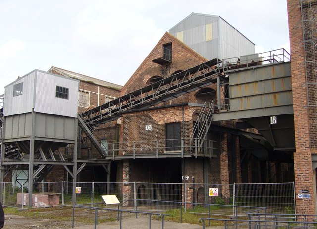
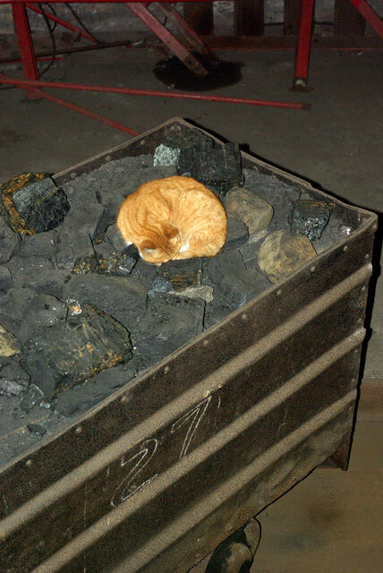
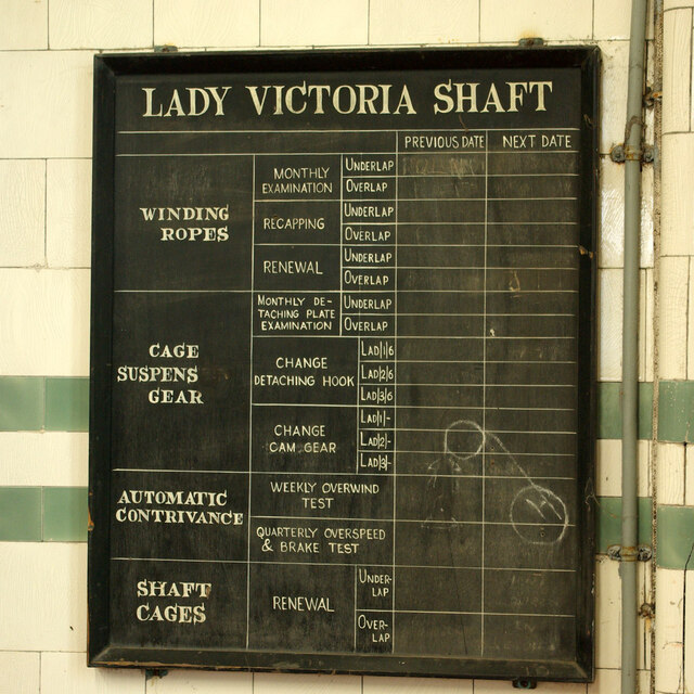
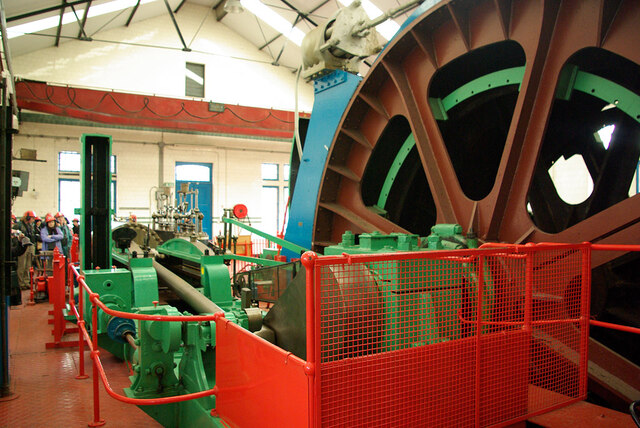
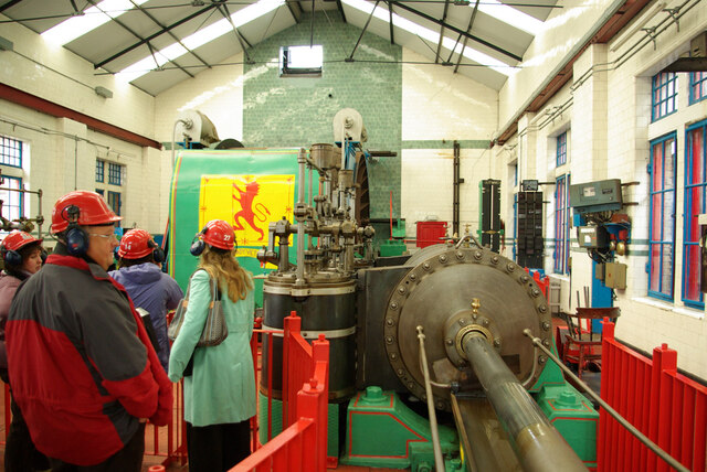
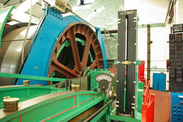
National Mining Museum Scotland
The National Mining Museum Scotland was created in 1984, to preserve the physical surface remains of Lady Victoria Colliery at Newtongrange, Midlothian...
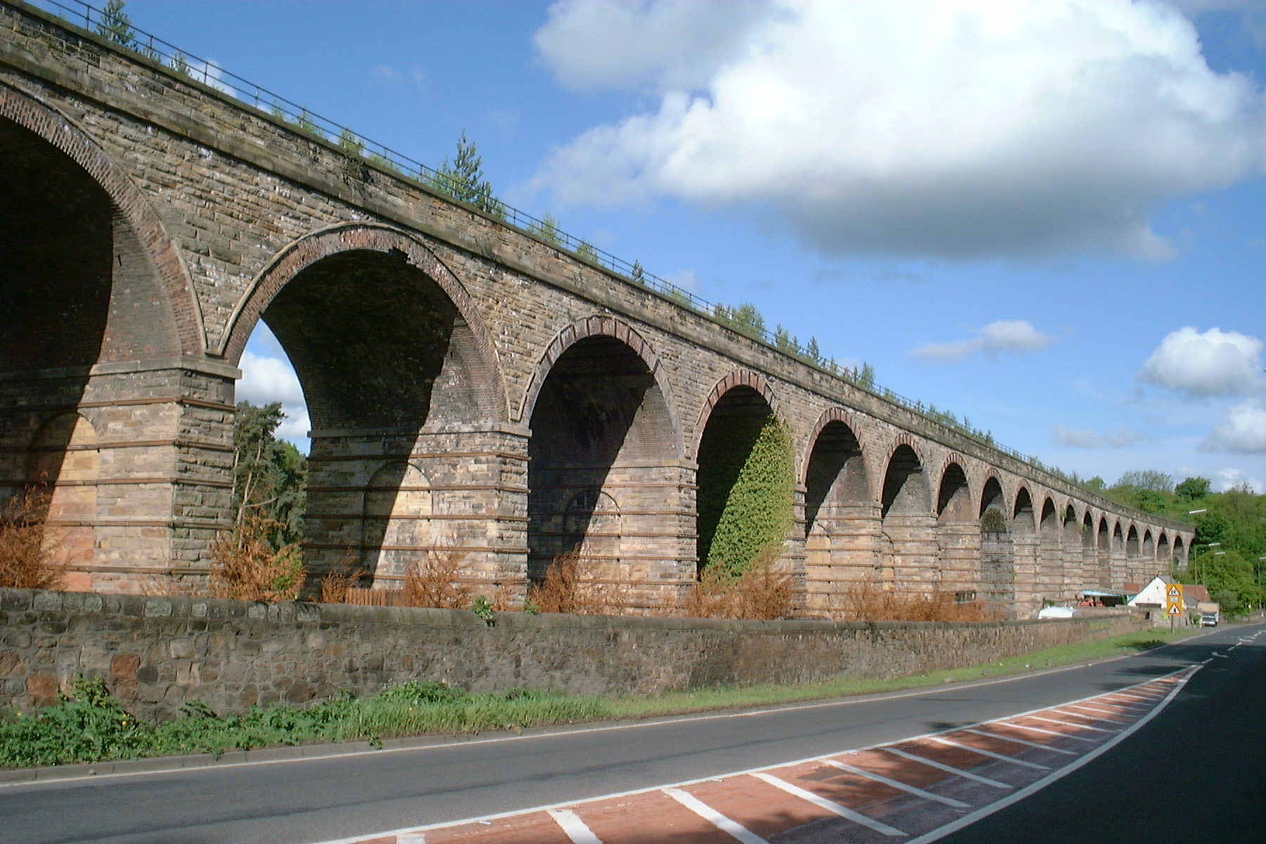
Newbattle Viaduct
The Newbattle Viaduct, sometimes also called the Lothianbridge, Newtongrange or Dalhousie Viaduct, carries the Borders Railway, which opened in 2015, over...

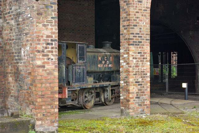
Newtongrange
Newtongrange () is a former mining village in Midlothian, Scotland. Known in local dialect as Nitten, or Nitten by the Bing (), it became Scotland's largest...
Related Videos

November Trekker Walk 2023
Info on our November Trekker Walk, route and some bits n bobs of history along the way.

Riverside Walks, Scotland. Edinburgh, Dalkeith, Newbattle Abbey, Inverness, Lock Ness..
Riverside walks within Scotland. Exploring Newbattle Abbey and some places near Inverness.


Walk The Line 2023
The annual Walk The Line from Peniciuk to Dalkeith. A great day out for fresh air, exercise and chat. Look out for information the ...
Nearby Amenities
Located within 500m of 55.863433,-3.0811716Have you been to Fancy Grove Wood?
Leave your review of Fancy Grove Wood below (or comments, questions and feedback).