Cockpen Dean
Valley in Midlothian
Scotland
Cockpen Dean
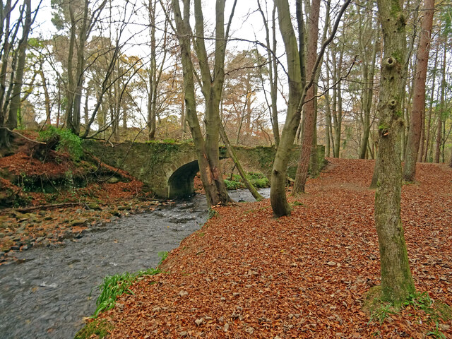
Cockpen Dean is a picturesque valley located in Midlothian, Scotland. Nestled between the Pentland Hills and the Moorfoot Hills, it is renowned for its natural beauty and tranquil atmosphere. The valley stretches for approximately 5 miles and is characterized by rolling green hills, dense woodland, and the meandering course of the Cockpen Burn.
The area is known for its rich history, with evidence of human habitation dating back thousands of years. Archaeological sites, including ancient burial mounds and prehistoric settlements, have been discovered, attesting to a long-standing human presence in the valley. The remains of Cockpen Castle, a 16th-century tower house, can also be found in the area, adding to its historical significance.
Cockpen Dean is a haven for nature enthusiasts and outdoor enthusiasts alike. The valley offers a range of activities, including walking, hiking, and cycling, with numerous trails and paths crisscrossing the landscape. The diverse flora and fauna of the area make it a popular spot for birdwatching and wildlife spotting.
In addition to its natural beauty, Cockpen Dean is also home to several small communities, including the village of Bonnyrigg. The surrounding area features a mix of residential properties, farmland, and open spaces, providing a peaceful rural setting while still being within close proximity to the nearby towns and cities.
Overall, Cockpen Dean is a captivating valley that combines natural splendor, cultural heritage, and a welcoming community, making it a must-visit destination for those seeking tranquility and a connection with nature in the heart of Midlothian.
If you have any feedback on the listing, please let us know in the comments section below.
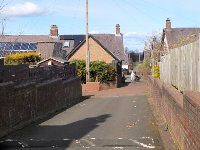
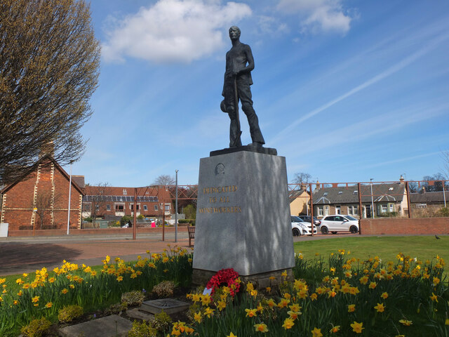
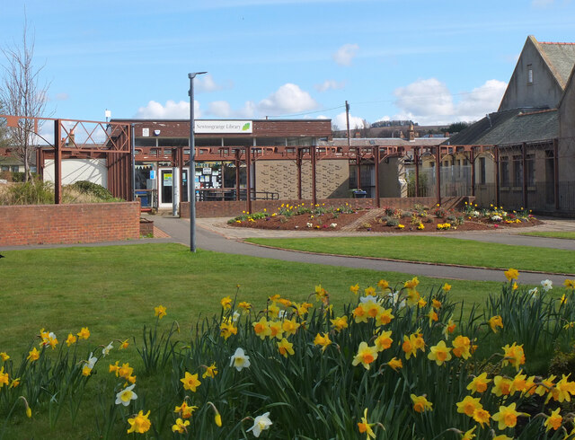
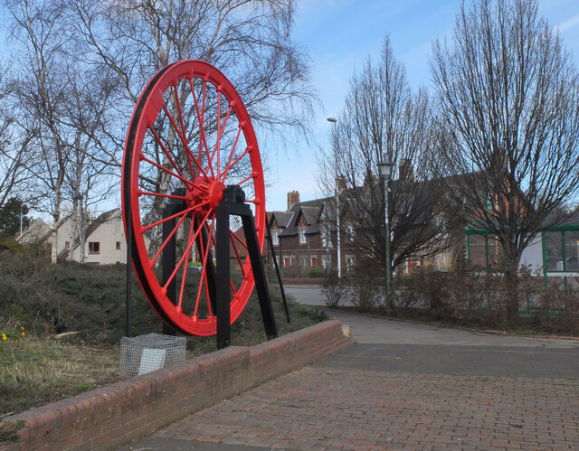
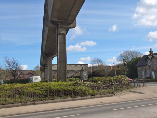
Cockpen Dean Images
Images are sourced within 2km of 55.861017/-3.0780368 or Grid Reference NT3263. Thanks to Geograph Open Source API. All images are credited.

Cockpen Dean is located at Grid Ref: NT3263 (Lat: 55.861017, Lng: -3.0780368)
Unitary Authority: Midlothian
Police Authority: The Lothians and Scottish Borders
What 3 Words
///oldest.range.verge. Near Bonnyrigg, Midlothian
Nearby Locations
Related Wikis
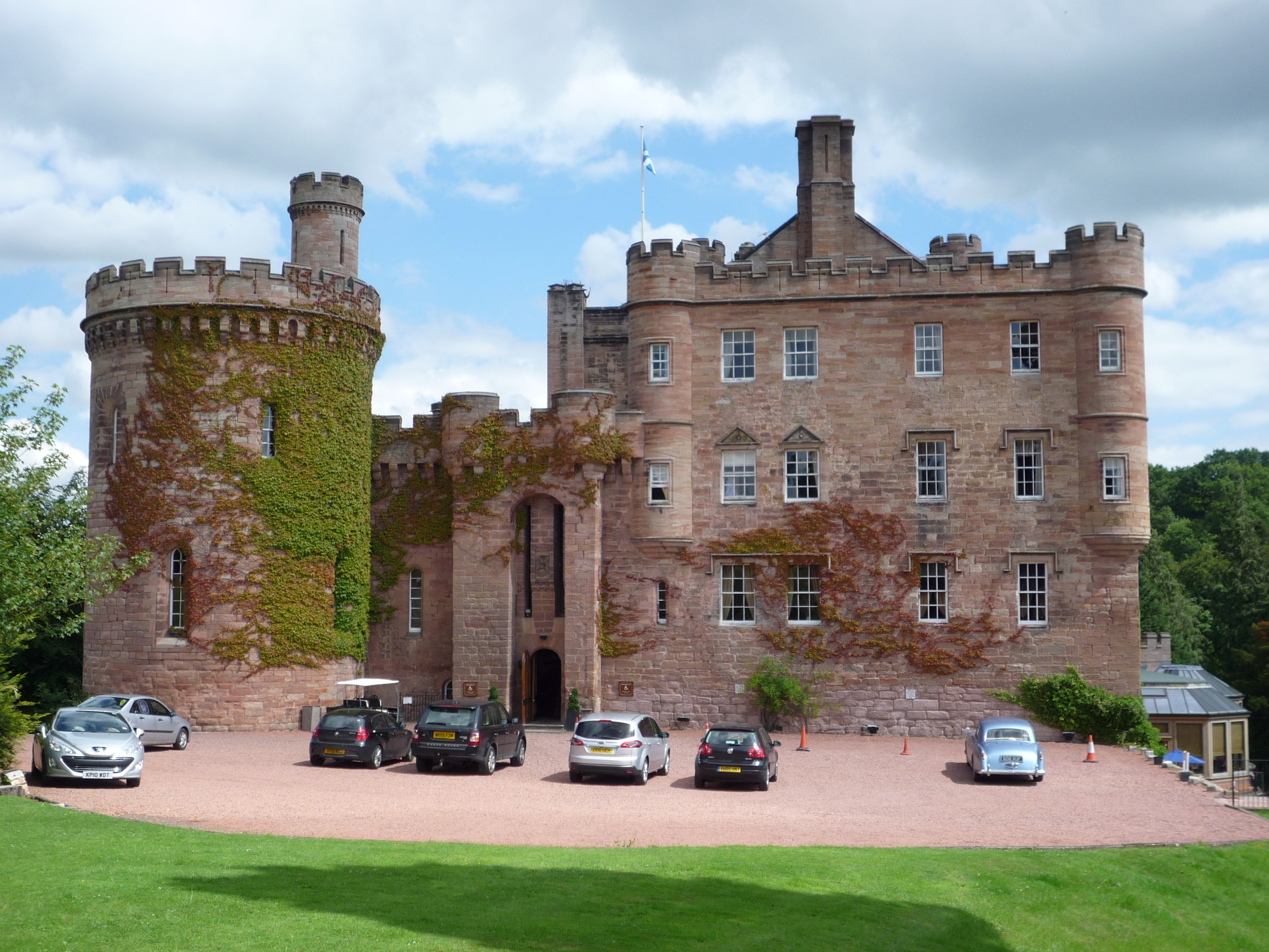
Dalhousie Castle
Dalhousie Castle is a castle in Cockpen, Midlothian, Scotland. Dalhousie Castle is situated near the town of Bonnyrigg, 8 miles (13 km) south of Edinburgh...

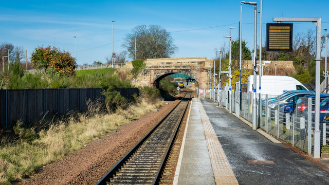
Newtongrange railway station
Newtongrange is a railway station on the Borders Railway, which runs between Edinburgh Waverley and Tweedbank. The station, situated 11 miles 77 chains...
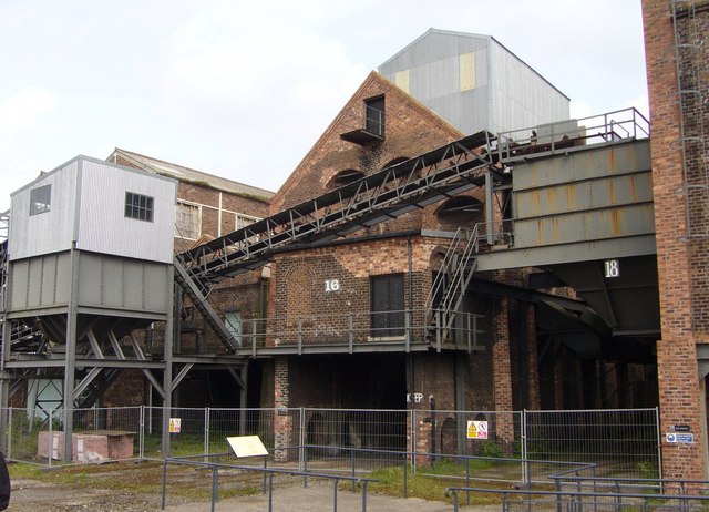
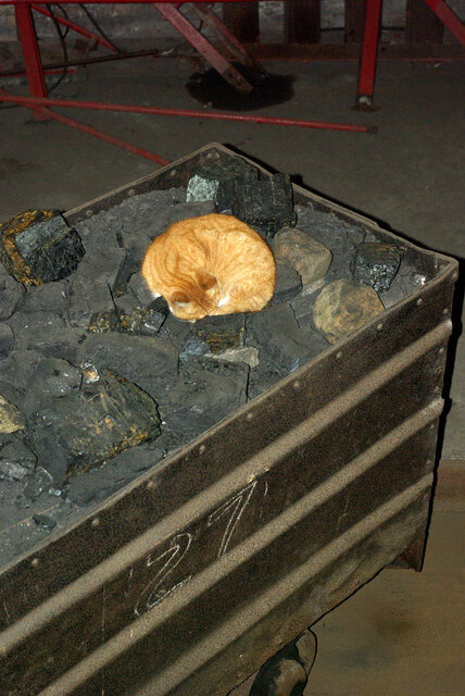
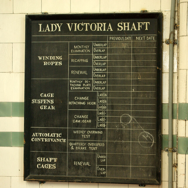
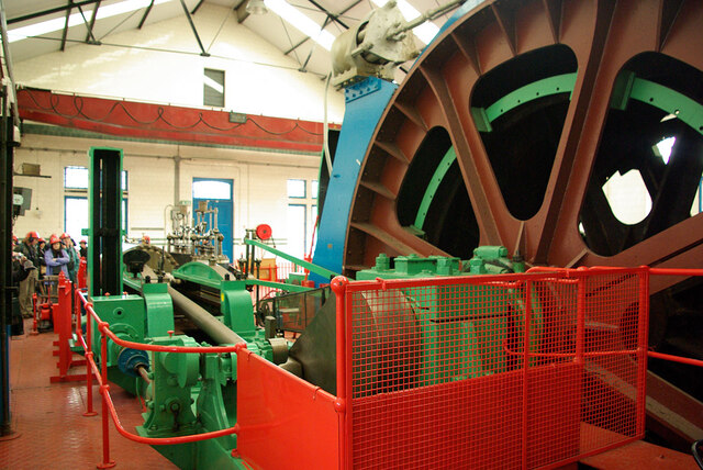
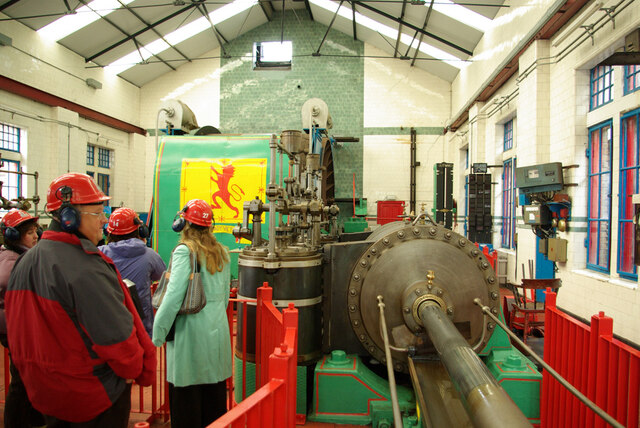
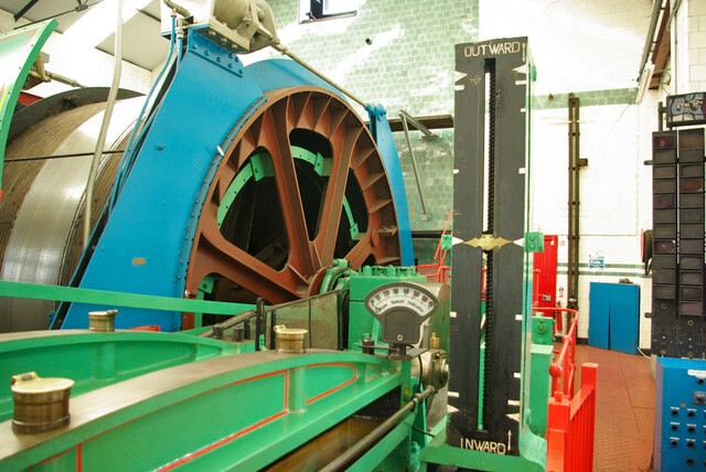
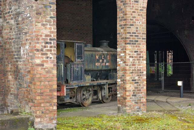
National Mining Museum Scotland
The National Mining Museum Scotland was created in 1984, to preserve the physical surface remains of Lady Victoria Colliery at Newtongrange, Midlothian...

Cockpen and Carrington Parish Church
Cockpen and Carrington Parish Church is located to the south of the town of Bonnyrigg in Midlothian, Scotland. It is a congregation of the Church of Scotland...

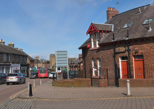
Cockpen
Cockpen is a parish in Midlothian, Scotland, containing at its north-west corner the town of Bonnyrigg, which lies two miles (3.2 km) south-west of Dalkeith...

Newbattle
Newbattle (from Neubotle, i.e. new dwelling) is a village and civil parish in Midlothian, in the ancient Roman Catholic Diocese of St. Andrews, about seven...

Newtongrange
Newtongrange () is a former mining village in Midlothian, Scotland. Known in local dialect as Nitten, or Nitten by the Bing (), it became Scotland's largest...
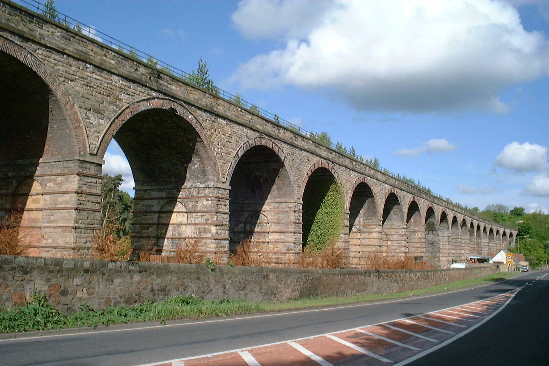
Newbattle Viaduct
The Newbattle Viaduct, sometimes also called the Lothianbridge, Newtongrange or Dalhousie Viaduct, carries the Borders Railway, which opened in 2015, over...
Nearby Amenities
Located within 500m of 55.861017,-3.0780368Have you been to Cockpen Dean?
Leave your review of Cockpen Dean below (or comments, questions and feedback).