Lyng Moor
Downs, Moorland in Somerset Sedgemoor
England
Lyng Moor

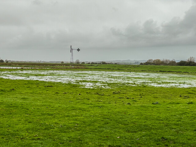
Lyng Moor is a picturesque area located in Somerset, England. It is situated on the edge of the Somerset Levels, known for its stunning views and serene atmosphere. The moorland is characterized by its rolling hills and open grasslands, making it a popular destination for hikers, nature enthusiasts, and those seeking a tranquil escape from the busy city life.
Covering an approximate area of 2,000 acres, Lyng Moor is home to various species of wildlife and is a designated Site of Special Scientific Interest (SSSI). The moorland provides habitat for a range of bird species, including buzzards, skylarks, and meadow pipits, making it a haven for birdwatchers. In addition, the area is dotted with small ponds and marshes, which attract a variety of water-loving creatures such as dragonflies and water voles.
The landscape of Lyng Moor is further enhanced by the presence of ancient burial mounds, evidence of human activity in the area dating back to the Bronze Age. These burial mounds add a sense of historical significance to the moor and provide visitors with an insight into the past.
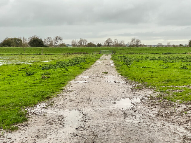
The accessibility of Lyng Moor is excellent, with a network of footpaths crisscrossing the area, allowing visitors to explore the moorland and take in the breathtaking views. Moreover, the nearby village of Lyng offers amenities such as parking facilities and a pub, ensuring that visitors have a comfortable and enjoyable experience.
Overall, Lyng Moor in Somerset is a haven of natural beauty, offering a peaceful retreat for those seeking to connect with nature and immerse themselves in the stunning landscapes that characterize this part of England.
If you have any feedback on the listing, please let us know in the comments section below.
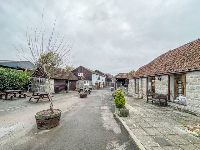
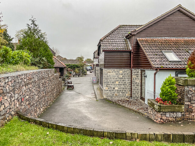
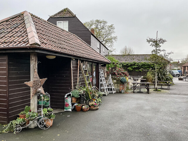
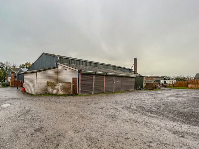
Lyng Moor Images
Images are sourced within 2km of 51.047909/-2.9671717 or Grid Reference ST3228. Thanks to Geograph Open Source API. All images are credited.


Lyng Moor is located at Grid Ref: ST3228 (Lat: 51.047909, Lng: -2.9671717)
Administrative County: Somerset
District: Sedgemoor
Police Authority: Avon and Somerset
What 3 Words
///forecast.recitals.moved. Near Creech St Michael, Somerset
Related Wikis

Curry and Hay Moors
Curry and Hay Moors (grid reference ST323273) is a 472.8 hectare (1168.1 acre) biological Site of Special Scientific Interest in Somerset, notified in...

Lyng, Somerset
Lyng is a civil parish in Somerset, England, comprising the villages of West Lyng and East Lyng and the hamlet of Bankland. == History == The name derives...

Balt Moor Wall
Balt Moor Wall is an earthwork and listed scheduled ancient monument in Lyng, Somerset, England, situated on the Somerset Levels to the northwest of the...

Cogload Junction
Cogload Junction is a railway junction in Durston, Somerset, England. It is where the 1906-opened London to Penzance Line via Castle Cary joins the original...

Somerset Space Walk
The Somerset Space Walk is a sculpture trail model of the Solar System, located in Somerset, England. The model uses the towpath of the 22-kilometre (14...

Bridgwater and Taunton Canal
The Bridgwater and Taunton Canal is a canal in the south-west of England between Bridgwater and Taunton, opened in 1827 and linking the River Tone to the...

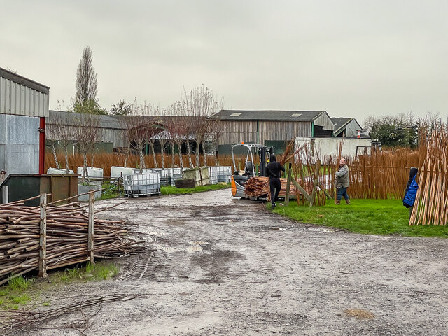
Willows and Wetlands Visitor Centre
The Willows and Wetlands Visitor Centre is situated at Stoke St Gregory, on the Somerset Levels, north east of Taunton, England. Based on a working farm...

Stoke St Gregory
Stoke St Gregory is a village and civil parish in Somerset, England, about 7 miles (11 km) east of Taunton. The village is on a low ridge of land between...
Nearby Amenities
Located within 500m of 51.047909,-2.9671717Have you been to Lyng Moor?
Leave your review of Lyng Moor below (or comments, questions and feedback).