Lane Head

Downs, Moorland in Lancashire South Lakeland

England

Lane Head

Footpath near Iron Keld Plantation
Footpath near Iron Keld Plantation Credit: Anthony Parkes

Lane Head is a small village located in the county of Lancashire, England. Situated amidst the picturesque landscape of the Downs and Moorland, this rural settlement offers a tranquil and scenic environment for its residents and visitors alike.

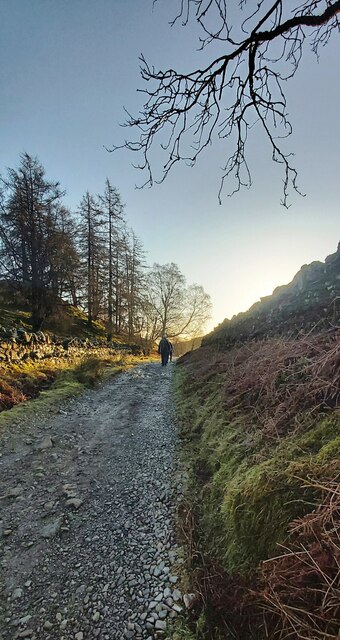
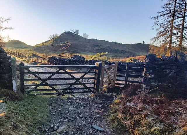
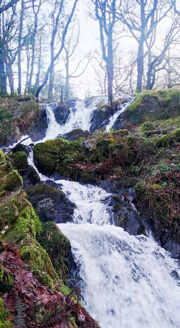
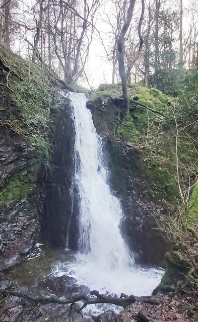
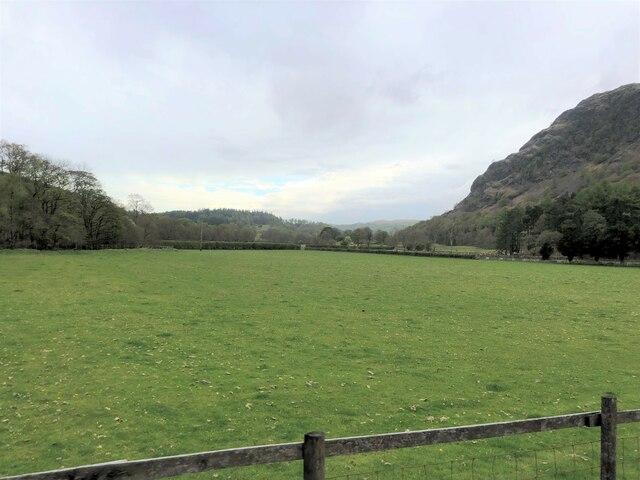
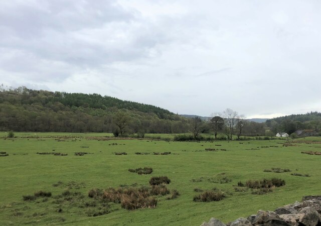
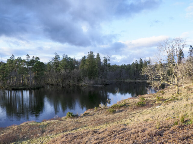
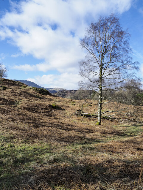
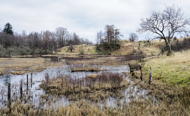
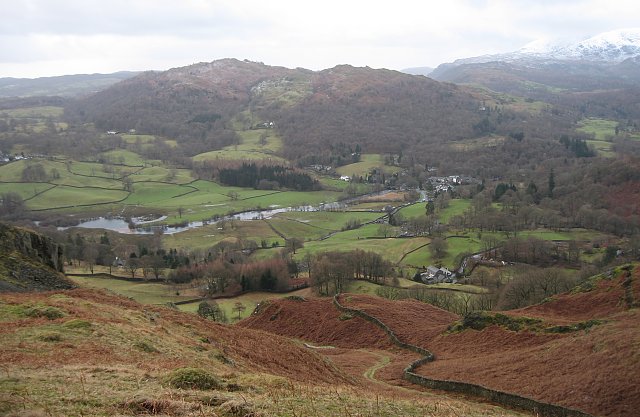
Surrounded by rolling hills and lush green meadows, Lane Head boasts breathtaking views of the countryside. The area is known for its diverse wildlife, with a variety of bird species and mammals inhabiting the nearby moorland. This makes Lane Head a popular spot for nature enthusiasts and birdwatchers, who can enjoy observing the local flora and fauna.

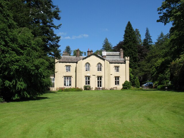
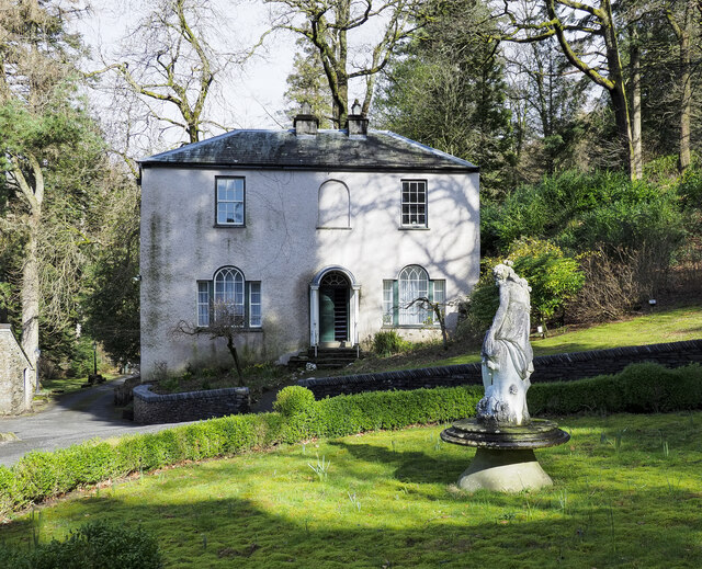
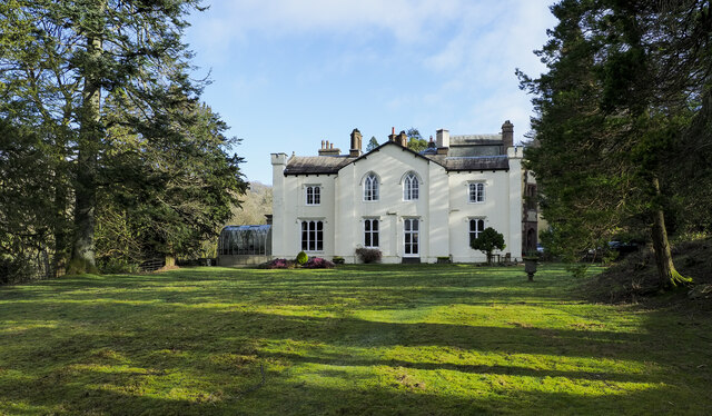
The village itself is characterized by its charming cottages and traditional architecture, reflecting its rich history and heritage. Its close-knit community fosters a warm and friendly atmosphere, making Lane Head an inviting place to live.

Despite its rural setting, Lane Head is conveniently located near several amenities. The nearby market town of Clitheroe provides residents with access to shops, restaurants, and leisure facilities. Additionally, the village is well-connected to major roads, allowing for easy commuting to nearby towns and cities.

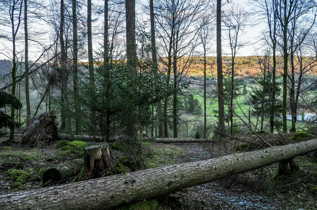
For outdoor enthusiasts, Lane Head offers a range of recreational activities. The surrounding countryside is perfect for hiking, cycling, and horse riding, with numerous trails and paths to explore. The area also boasts several picturesque picnic spots and camping sites, allowing visitors to fully immerse themselves in the beauty of nature.

In summary, Lane Head, Lancashire, is a charming rural village nestled in the stunning landscape of the Downs and Moorland. With its natural beauty, friendly community, and access to amenities, Lane Head offers a peaceful and idyllic place to reside or visit.

If you have any feedback on the listing, please let us know in the comments section below.
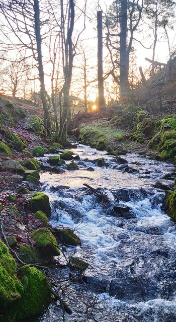
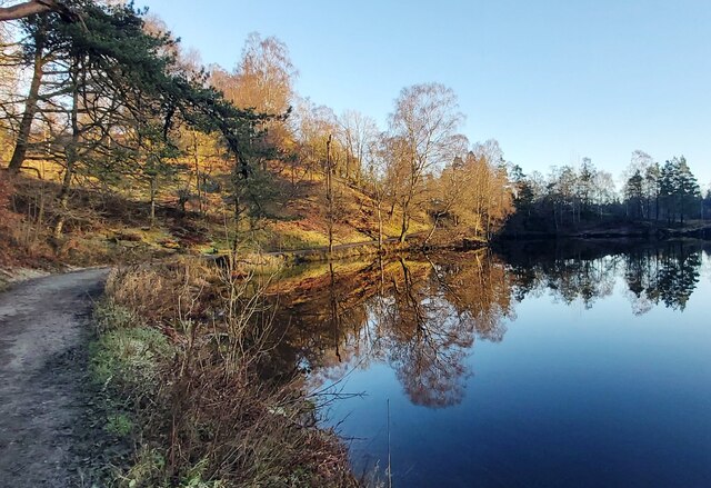
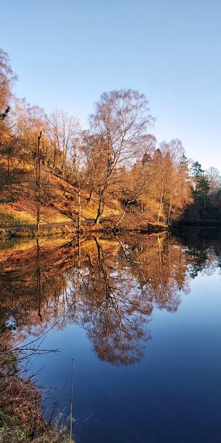
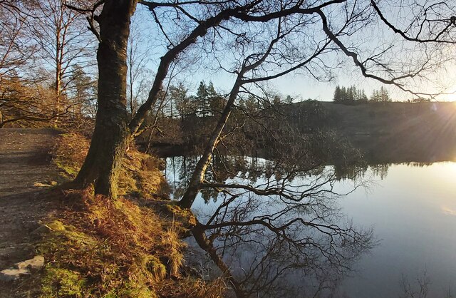
Lane Head Images

Images are sourced within 2km of 54.388128/-3.0440376 or Grid Reference SD3299. Thanks to Geograph Open Source API. All images are credited.

Footpath near Iron Keld Plantation
Gated track in the morning frost
Tom Ghyll Waterfalls
Tom Ghyll Waterfall
Tom Ghyll Waterfall
Tom Ghyll at Dawn
Tom Ghyll at Dawn
Morning Reflections in Tarn Hows
Tarn Hows Reflections
Tarn Hows
Tarn Hows
Sheep grazing near Tarn Hows Woods
Yewdale Valley Yewdale Crag to the right
Yewdale Valley
Yewdale Crag to the right
Yewdale Valley Poor grazing land here
Yewdale Valley
Poor grazing land here
Monk Coniston Hall Monk Coniston Hall is a National Trust property privately leased to HF Holidays as one of their Country Houses.
Monk Coniston Hall
Monk Coniston Hall is a National Trust property privately leased to HF Holidays as one of their Country Houses.
Counting House at Monk Coniston Monk Coniston is a National Trust Property leased by HF Holidays and operated as a country house hotel. There are several buildings on the site; this is the Counting House.
Counting House at Monk Coniston
Monk Coniston is a National Trust Property leased by HF Holidays and operated as a country house hotel. There are several buildings on the site; this is the Counting House.
Eastern side of Tarn Hows Tarn Hows is an archetypal Lake District location close to the village of Coniston. It's partly an artificial creation, the result of damming one of three tarns to create a larger feature.
Eastern side of Tarn Hows
Tarn Hows is an archetypal Lake District location close to the village of Coniston. It's partly an artificial creation, the result of damming one of three tarns to create a larger feature.
Birch tree on bracken-strewn slope The tree is on a hill slope south-west of Tarn Hows. The bracken is of course dead, the residue of the previous year's growth.
Wetherlam just shows above knolls at the left side horizon.
Birch tree on bracken-strewn slope
The tree is on a hill slope south-west of Tarn Hows. The bracken is of course dead, the residue of the previous year's growth. Wetherlam just shows above knolls at the left side horizon.
Wharton Tarn The tarn is a small area of water lying just over a kilometre south of Tarn Hows. It appears to be infilling with vegetation.
Wharton Tarn
The tarn is a small area of water lying just over a kilometre south of Tarn Hows. It appears to be infilling with vegetation.
Obstructions to path descending through Guards Wood Much damage was caused in Guards Wood by Storm Arwen at the end of November 2021 and probably by subsequent winter storms. The summit area of High Guards, the hill on which the wood grows, was badly affected and difficult to access - <a title="https://www.geograph.org.uk/photo/7115398" href="https://www.geograph.org.uk/photo/7115398">Link</a> . The path crossing the hill was equally affected by windthrown trees. The awkwardness caused by the two trees across the path in this image was trivial by comparison.
Obstructions to path descending through Guards Wood
Much damage was caused in Guards Wood by Storm Arwen at the end of November 2021 and probably by subsequent winter storms. The summit area of High Guards, the hill on which the wood grows, was badly affected and difficult to access - Link . The path crossing the hill was equally affected by windthrown trees. The awkwardness caused by the two trees across the path in this image was trivial by comparison.
Monk Coniston The south-west face of the large house at Monk Coniston which, with land was owned by Beatrix Potter who left it to the National Trust; the Trust still has it. Currently, it's leased by HF holidays who operate it as a country house hotel.
Monk Coniston
The south-west face of the large house at Monk Coniston which, with land was owned by Beatrix Potter who left it to the National Trust; the Trust still has it. Currently, it's leased by HF holidays who operate it as a country house hotel.
Show me another place!

Lane Head is located at Grid Ref: SD3299 (Lat: 54.388128, Lng: -3.0440376)

Administrative County: Cumbria

District: South Lakeland

Police Authority: Cumbria

What 3 Words

///boomer.besotted.majority. Near Ambleside, Cumbria

Related Wikis

Yew Tree Tarn

Yew Tree Tarn is a small lake in the English Lake District situated in between the towns of Ambleside and Coniston. The tarn was formed when the local...

Tarn Hows

Tarn Hows is an area of the Lake District National Park in North West England, It contains a picturesque tarn, approximately 2 miles (3.2 km) northeast...

Holme Fell

Holme Fell or Holm Fell is a fell in the Lake District in Cumbria, England. It is located between Coniston Water and Little Langdale, almost isolated from...

Hawkshead Hill

Hawkshead Hill is a hamlet in the South Lakeland district, in the county of Cumbria, England. It is in the Lake District National Park. == Location... ==

Black Fell (Lake District)

Black Fell is a fell in the English Lake District. It rises to the north of Tarn Hows, between Coniston and Hawkshead. == Topography == Black Fell is the...

SY Gondola

The steam yacht Gondola is a rebuilt Victorian, screw-propelled, steam-powered passenger vessel on Coniston Water, England. Originally launched in 1859...

Ruskin Museum

The Ruskin Museum is a small local museum in Coniston, Cumbria, northern England. It was established in 1901 by W. G. Collingwood, an artist and antiquarian...

Yewdale Beck

Yewdale Beck is a river in Lake District, Cumbria, England. The Yewdale Beck arises from the confluence of Henfoot Beck and Swallow Scar Beck, as well...

Nearby Amenities

Located within 500m of 54.388128,-3.0440376
Barrier: kissing_gate
Lat/Long: 54.39025/-3.0404393
Toilets
Changing Table: yes
Check Date: 2023-08-28
Fee: no
Wheelchair: yes
Lat/Long: 54.3860374/-3.0383336
Cafe
Yew Tree Farm
Note: Cafe closed 2010 and 2011
Lat/Long: 54.3894964/-3.0496034
Barrier: kissing_gate
Lat/Long: 54.3896032/-3.0473202
Barrier: kissing_gate
Lat/Long: 54.3891508/-3.0487619
Barrier: kissing_gate
Lat/Long: 54.3908377/-3.0488569
Barrier: stile
Lat/Long: 54.3890415/-3.0377189
Barrier: stile
Lat/Long: 54.3889045/-3.0378524
Tom Ghyll Waterfalls
Alt Name: Tom Gill Waterfall
Source: Rec by WvD 2013-07-19
Tourism: viewpoint
Waterway: waterfall
Lat/Long: 54.3903077/-3.0409386
Tarn Hows Intake
Place: locality
Lat/Long: 54.3859862/-3.0428143
Pen Intake
Place: locality
Lat/Long: 54.3877355/-3.0394455
Lane Head
Place: locality
Lat/Long: 54.3881023/-3.0443318
Grit Bin
Source: GPS Survey
Lat/Long: 54.3847054/-3.0459394
Hiking: yes
Information: guidepost
Tourism: information
Lat/Long: 54.3852802/-3.0455759
Hiking: yes
Information: guidepost
Tourism: information
Lat/Long: 54.3891243/-3.0489112
Hiking: yes
Information: guidepost
Tourism: information
Lat/Long: 54.3894886/-3.048804
Hiking: yes
Information: guidepost
Source: GPS Survey
Tourism: information
Lat/Long: 54.3874184/-3.0381556
Bench
Source: GPS Survey
Lat/Long: 54.3900139/-3.0371008
Vending Machine
Operator: National Trust
Vending: parking_tickets
Lat/Long: 54.3898818/-3.0464455
Power: pole
Lat/Long: 54.3862972/-3.0508117
The data included in this document is from www.openstreetmap.org. The data is made available under ODbL.

Have you been to Lane Head?

Leave your review of Lane Head below (or comments, questions and feedback).