Annfield Muir

Downs, Moorland in Fife

Scotland

Annfield Muir

Farmland by Greenside, Drummy Wood Looking across much of the square in a north direction towards Rameldry. Much of the square to the South of this position is old woodland.
Farmland by Greenside, Drummy Wood Credit: Jim Bain

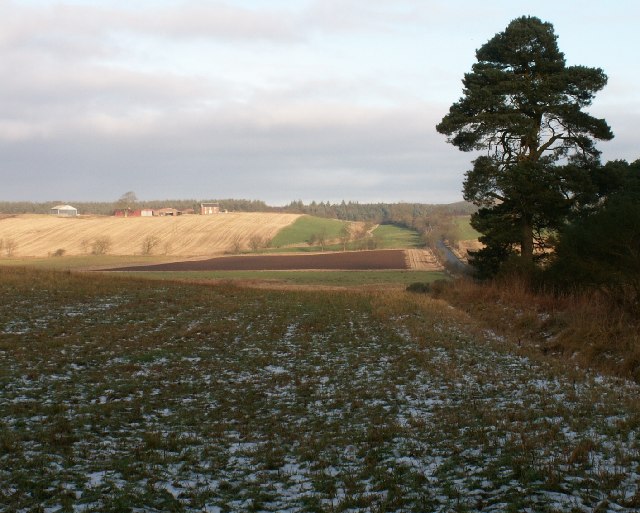
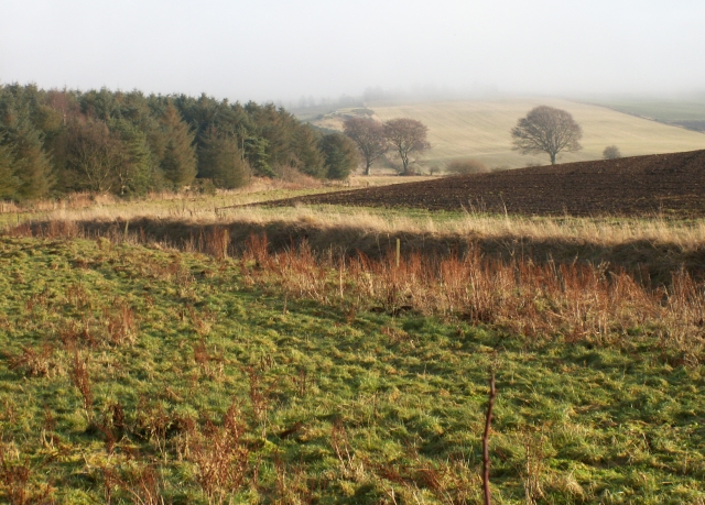
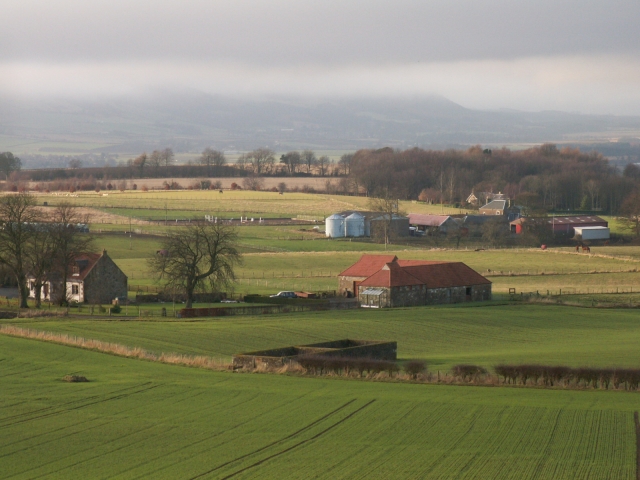
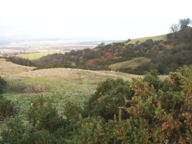
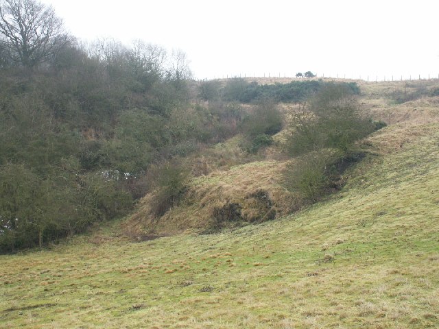
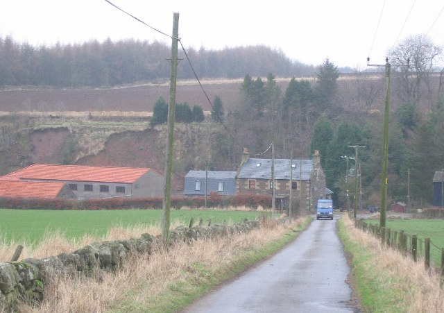
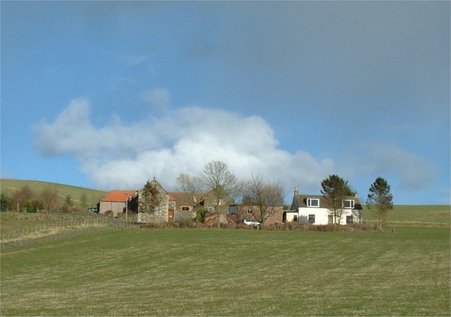
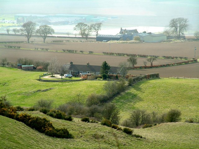
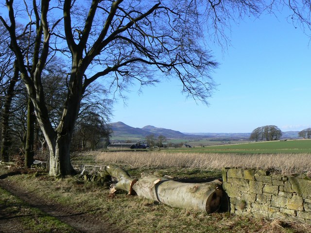
Annfield Muir is a vast expanse of downs and moorland located in Fife, Scotland. Spread over an area of approximately 500 acres, it is known for its breathtaking natural beauty and diverse ecosystem. The muir is situated in close proximity to the villages of Kelty and Ballingry, making it easily accessible for visitors.

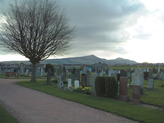
The landscape of Annfield Muir is characterized by rolling hills, heather-covered moorland, and patches of woodland. The downs offer panoramic views of the surrounding countryside, with the prominent Lomond Hills visible in the distance. The area is a haven for nature enthusiasts, as it is home to a wide range of flora and fauna. Visitors can spot various species of birds, including the kestrel, buzzard, and curlew, among others.

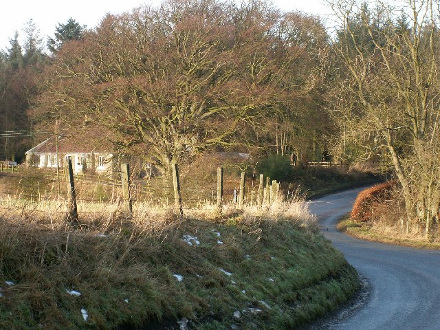
The muir is crisscrossed by several footpaths and trails, making it a popular spot for walking, hiking, and horse riding. These routes offer a chance to explore the diverse landscape and enjoy the tranquility of the countryside. The area is also ideal for picnicking and outdoor activities, with ample open spaces available.

Annfield Muir is managed by local conservation organizations, who work to preserve its natural beauty and protect its wildlife. The muir is designated as a Site of Special Scientific Interest, highlighting its ecological importance. It is also part of a wider network of protected areas in Fife, ensuring the long-term conservation of the region's natural heritage.

Overall, Annfield Muir in Fife is a stunning example of downs and moorland, offering visitors a chance to immerse themselves in nature and enjoy the scenic beauty of the Scottish countryside.

If you have any feedback on the listing, please let us know in the comments section below.

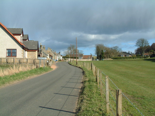
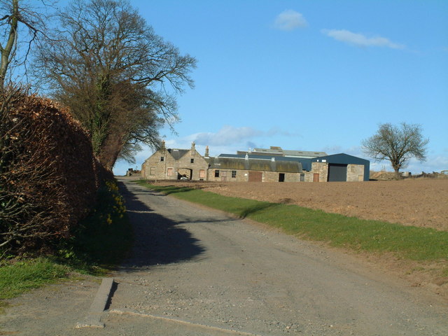
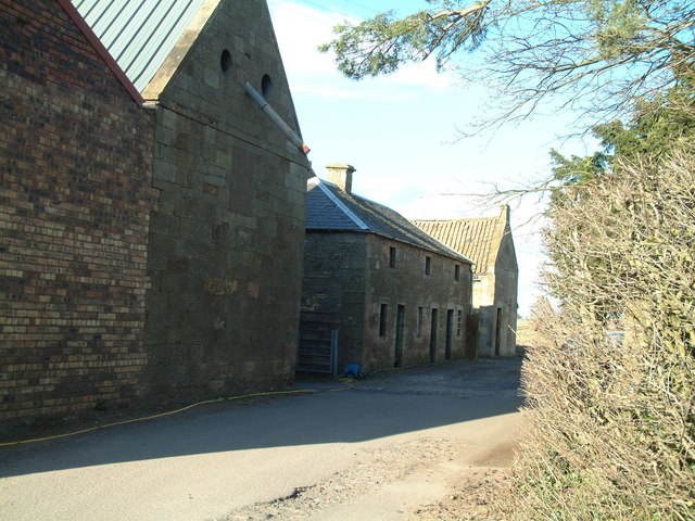
Annfield Muir Images

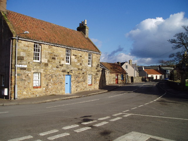
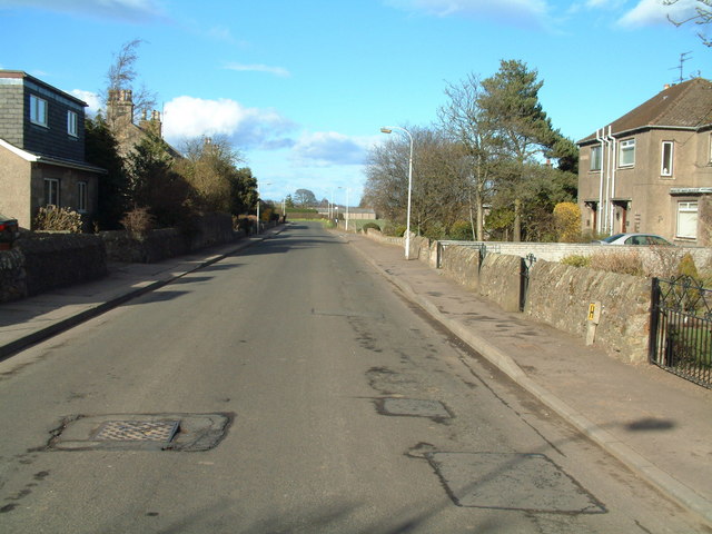
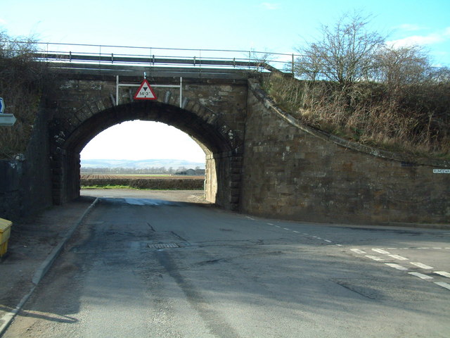
Images are sourced within 2km of 56.254065/-3.0944204 or Grid Reference NO3207. Thanks to Geograph Open Source API. All images are credited.

Farmland by Greenside, Drummy Wood Looking across much of the square in a north direction towards Rameldry. Much of the square to the South of this position is old woodland.
Farmland by Greenside, Drummy Wood
Looking across much of the square in a north direction towards Rameldry. Much of the square to the South of this position is old woodland.
By Rameldry Rough grazing, burn, ploughed field and woodland all by Rameldry. Looking East towards the mist covered slopes of Clatto Hill 248mts
By Rameldry
Rough grazing, burn, ploughed field and woodland all by Rameldry. Looking East towards the mist covered slopes of Clatto Hill 248mts
Kettlehill Farm Looking out SW across the square. The mist covered Lomonds in the background.
Kettlehill Farm
Looking out SW across the square. The mist covered Lomonds in the background.
Burnside by Burnturk A steep hillside cut by this small burn. Looking North towards Pitlessie.
Burnside by Burnturk
A steep hillside cut by this small burn. Looking North towards Pitlessie.
Old workings by a burn High up on the burnside these old workings of some sort are grown over. An old road line can be seen above.
Old workings by a burn
High up on the burnside these old workings of some sort are grown over. An old road line can be seen above.
By Middlefield Midway between Rameldry Farm and Middlefield cross roads
By Middlefield
Midway between Rameldry Farm and Middlefield cross roads
Rameldry Mill View NE along a minor road. Note the landslips on the bank.
Rameldry Mill
View NE along a minor road. Note the landslips on the bank.
Howe of Fife Parish Church, Kingskettle View west along main road towards the church which stands on the western edge of this grid square, The church was built in 1853 and is a very fine and attractive building which can be seen from afar and which lies within a very attractive small village.
Howe of Fife Parish Church, Kingskettle
View west along main road towards the church which stands on the western edge of this grid square, The church was built in 1853 and is a very fine and attractive building which can be seen from afar and which lies within a very attractive small village.
Kingskettle An attractive village in Fife locally known as Kettle which developed in an area which once belonged to the Crown and where an unrecorded battle or Cathel took place, this is how the name Kingskettle came about. The village developed in the 19th century with the opening of the turnpike road and with the development of mining and weaving.
Kingskettle
An attractive village in Fife locally known as Kettle which developed in an area which once belonged to the Crown and where an unrecorded battle or Cathel took place, this is how the name Kingskettle came about. The village developed in the 19th century with the opening of the turnpike road and with the development of mining and weaving.
Kettlebridge Main street (Rumdewan) in the village of Kettlebridge
Kettlebridge
Main street (Rumdewan) in the village of Kettlebridge
Kettlebridge railway bridge The main line between the Forth Rail Bridge and Tay Rail bridge also crosses this little bridge in Kettlebridge
Kettlebridge railway bridge
The main line between the Forth Rail Bridge and Tay Rail bridge also crosses this little bridge in Kettlebridge
Kingskettle Cemetery The Lomond Hills form the background skyline
Kingskettle Cemetery
The Lomond Hills form the background skyline
Coaltown of Burnturk There are many Fife villages known as 'Coaltown' of this or that. They were originally mining villages, but none of the pits or mines now remain active.
Coaltown of Burnturk
There are many Fife villages known as 'Coaltown' of this or that. They were originally mining villages, but none of the pits or mines now remain active.
Burnturk Farm From the corner of the farm road
Burnturk Farm
From the corner of the farm road
Mill buildings The working part of Ramornie Mill
Mill buildings
The working part of Ramornie Mill
Fronthill Farm Situated a little up Cults Hill from Burnturk
Fronthill Farm
Situated a little up Cults Hill from Burnturk
Burnturk Cottages Situated behind (south-east of) Burnturk Farm, seen in the background
Burnturk Cottages
Situated behind (south-east of) Burnturk Farm, seen in the background
Timber A felled tree beside a footpath near Kettlehill, with the Lomond Hills in the background.
Timber
A felled tree beside a footpath near Kettlehill, with the Lomond Hills in the background.
Show me another place!

Annfield Muir is located at Grid Ref: NO3207 (Lat: 56.254065, Lng: -3.0944204)

Unitary Authority: Fife

Police Authority: Fife

What 3 Words

///modifies.hotspots.towel. Near Kingskettle, Fife

Related Wikis

Balmalcolm

Balmalcolm is a small village in the Kettle parish of Fife, Scotland. Encompassed by the low-lying Howe of Fife, the village is roughly 5+1⁄2 miles (9...

Kingskettle

Kingskettle or often simply Kettle is a village and parish in Fife, Scotland. Encompassed by the Howe of Fife, the village is approximately 5.5 miles...

Kingskettle railway station

Kingskettle railway station served the village of Kingskettle, Fife, Scotland, from 1847 to 1967 on the Edinburgh and Northern Railway. == History == The...

Priestfield House

Priestfield House was a Victorian Country House near Cults, Fife, Scotland. == History == The estate, originally an outlying property of Crawford Priory...

Nearby Amenities

Located within 500m of 56.254065,-3.0944204
Post Box
Post Box Type: lamp
Ref: KY15 292
Source: survey
Lat/Long: 56.2556489/-3.091576
Public Bookcase
Book Swap
Booth: KX100
Disused Amenity: telephone
Man Made: telephone_box
Public Bookcase Type: phone_box
Source: survey
Lat/Long: 56.2556045/-3.0916501
Kettlehill
Place: hamlet
Lat/Long: 56.2557688/-3.091103
Barrier: kissing_gate
Lat/Long: 56.2584428/-3.0935189
Coalpitden
Place: locality
Lat/Long: 56.250775/-3.0995564
Power: pole
Lat/Long: 56.2579133/-3.0909502
Power: pole
Lat/Long: 56.2573471/-3.090994
Power: pole
Lat/Long: 56.2567675/-3.0910421
Power: pole
Lat/Long: 56.2565111/-3.0909086
Power: pole
Lat/Long: 56.2560372/-3.0903858
Power: pole
Lat/Long: 56.25681/-3.0900533
Power: pole
Lat/Long: 56.2568489/-3.0889924
Power: pole
Lat/Long: 56.2554418/-3.0937567
Power: pole
Lat/Long: 56.2556727/-3.0930721
Power: pole
Lat/Long: 56.2560421/-3.0920221
Power: pole
Lat/Long: 56.2557845/-3.0917683
Power: pole
Lat/Long: 56.255556/-3.0915386
Power: pole
Lat/Long: 56.2554418/-3.0913943
Power: pole
Lat/Long: 56.2580712/-3.0957659
Power: pole
Lat/Long: 56.2581502/-3.0943069
Power: pole
Lat/Long: 56.2582571/-3.0932613
Power: pole
Lat/Long: 56.2541926/-3.0970128
Power: pole
Lat/Long: 56.2545183/-3.0964025
Power: pole
Lat/Long: 56.2547856/-3.0956609
Power: pole
Lat/Long: 56.2550894/-3.09474
The data included in this document is from www.openstreetmap.org. The data is made available under ODbL.

Have you been to Annfield Muir?

Leave your review of Annfield Muir below (or comments, questions and feedback).