Coaltown of Burnturk

Settlement in Fife

Scotland

Coaltown of Burnturk

Farmland by Greenside, Drummy Wood Looking across much of the square in a north direction towards Rameldry. Much of the square to the South of this position is old woodland.
Farmland by Greenside, Drummy Wood Credit: Jim Bain

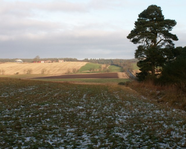
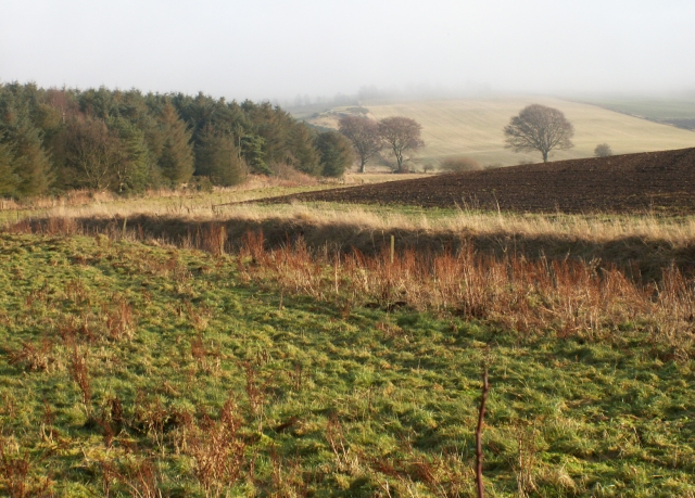
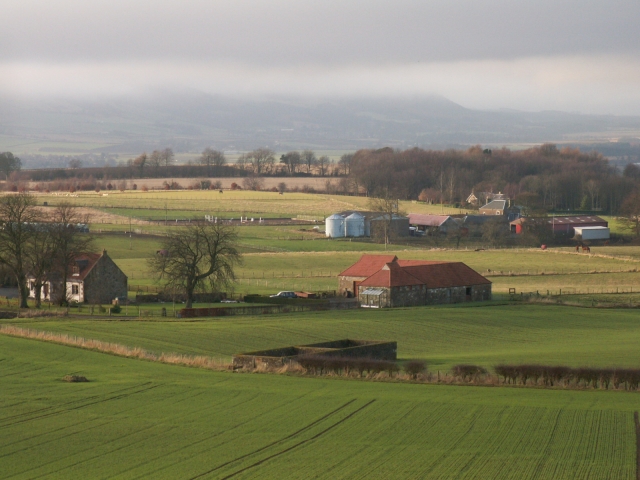
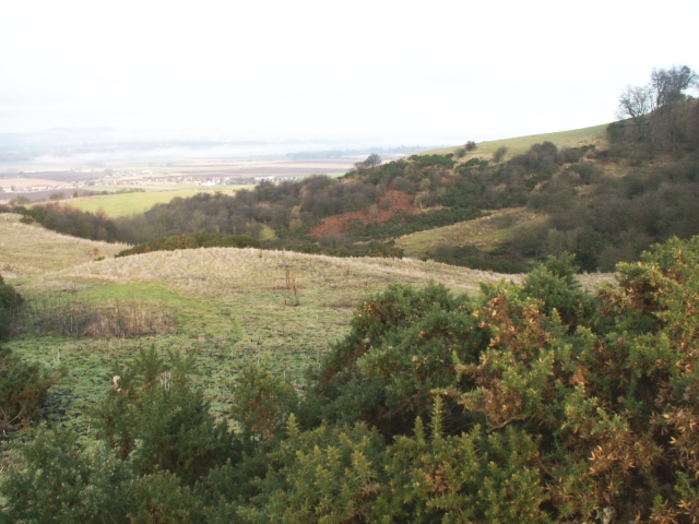
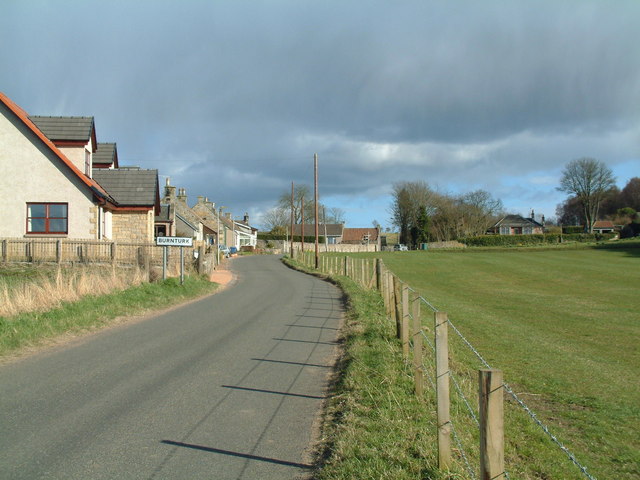
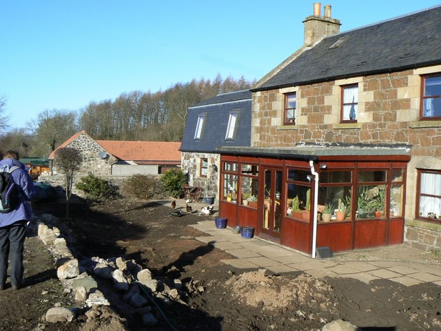
Coaltown of Burnturk is a small village located in the region of Fife, Scotland. Situated approximately five miles south of Cupar, it lies within the scenic landscape of the East Neuk of Fife. The village is part of the parish of Kilmany and is surrounded by picturesque countryside and rolling hills.

Historically, Coaltown of Burnturk was a coal mining community, deriving its name from the coal industry that once thrived in the area. However, the coal mines have long been closed, and the village has transformed into a quiet residential area with a close-knit community.

Despite its small size, the village offers a range of amenities to its residents. There is a local primary school, which serves the educational needs of the younger population. Other facilities include a village hall, a post office, and a pub, providing a focal point for social gatherings and events.

The village is well-connected to nearby towns and cities, with good road links to Cupar, St Andrews, and Dundee. This allows residents to access a wider range of services and employment opportunities within a short distance.

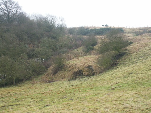
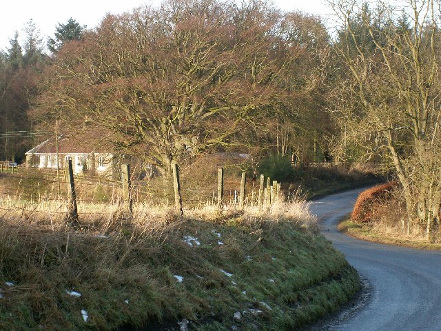
Coaltown of Burnturk benefits from its proximity to the beautiful Scottish countryside, offering residents the opportunity to enjoy walks, hikes, and outdoor activities. Additionally, the village is within easy reach of the stunning coastline of the East Neuk, known for its charming fishing villages and sandy beaches.

Overall, Coaltown of Burnturk provides a peaceful and idyllic setting for those seeking a quiet rural lifestyle, with the convenience of nearby towns and cities.

If you have any feedback on the listing, please let us know in the comments section below.

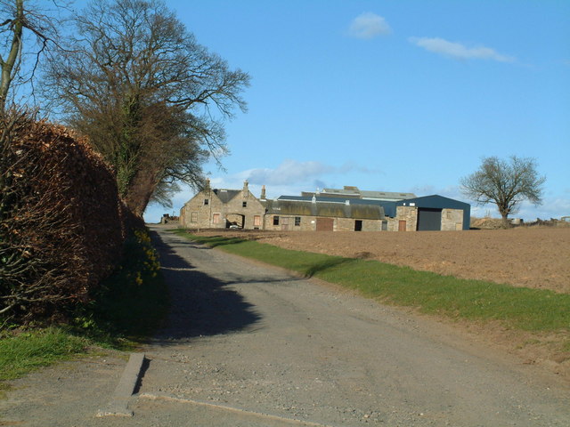
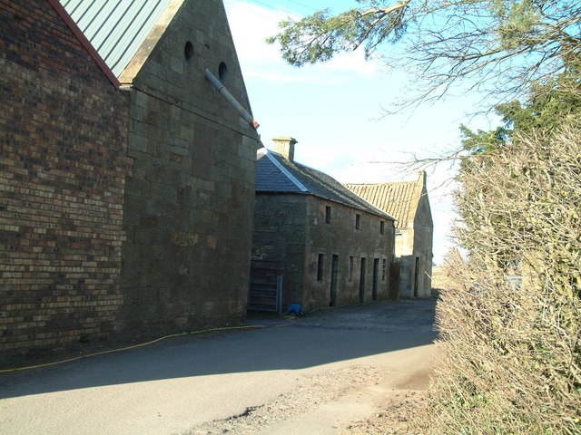
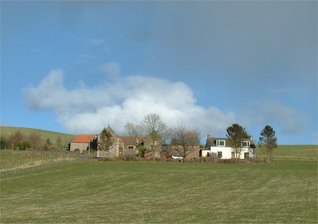
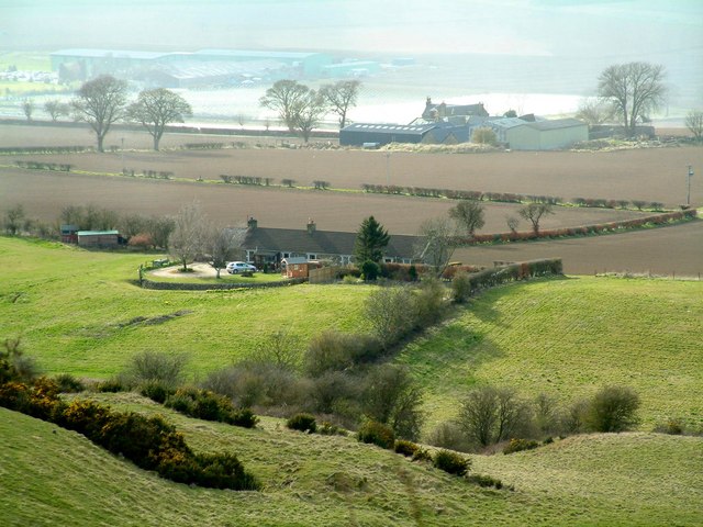
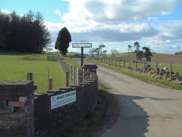
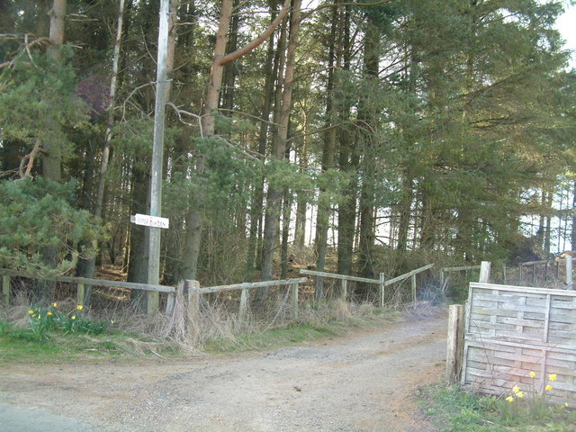
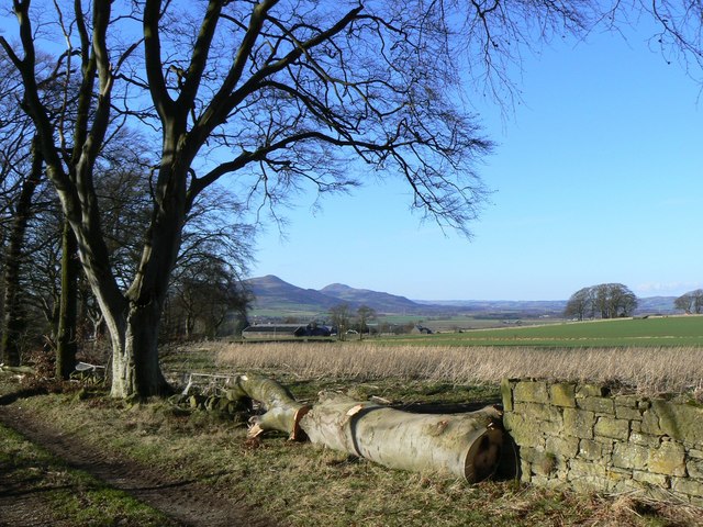
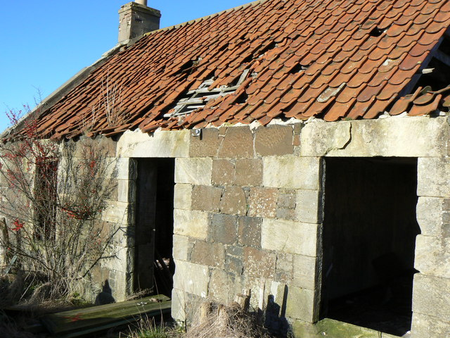
Coaltown of Burnturk Images

Images are sourced within 2km of 56.254776/-3.084847 or Grid Reference NO3207. Thanks to Geograph Open Source API. All images are credited.

Farmland by Greenside, Drummy Wood Looking across much of the square in a north direction towards Rameldry. Much of the square to the South of this position is old woodland.
Farmland by Greenside, Drummy Wood
Looking across much of the square in a north direction towards Rameldry. Much of the square to the South of this position is old woodland.
By Rameldry Rough grazing, burn, ploughed field and woodland all by Rameldry. Looking East towards the mist covered slopes of Clatto Hill 248mts
By Rameldry
Rough grazing, burn, ploughed field and woodland all by Rameldry. Looking East towards the mist covered slopes of Clatto Hill 248mts
Kettlehill Farm Looking out SW across the square. The mist covered Lomonds in the background.
Kettlehill Farm
Looking out SW across the square. The mist covered Lomonds in the background.
Burnside by Burnturk A steep hillside cut by this small burn. Looking North towards Pitlessie.
Burnside by Burnturk
A steep hillside cut by this small burn. Looking North towards Pitlessie.
Old workings by a burn High up on the burnside these old workings of some sort are grown over. An old road line can be seen above.
Old workings by a burn
High up on the burnside these old workings of some sort are grown over. An old road line can be seen above.
By Middlefield Midway between Rameldry Farm and Middlefield cross roads
By Middlefield
Midway between Rameldry Farm and Middlefield cross roads
Kingskettle Cemetery The Lomond Hills form the background skyline
Kingskettle Cemetery
The Lomond Hills form the background skyline
Coaltown of Burnturk There are many Fife villages known as 'Coaltown' of this or that. They were originally mining villages, but none of the pits or mines now remain active.
Coaltown of Burnturk
There are many Fife villages known as 'Coaltown' of this or that. They were originally mining villages, but none of the pits or mines now remain active.
Burnturk Farm From the corner of the farm road
Burnturk Farm
From the corner of the farm road
Mill buildings The working part of Ramornie Mill
Mill buildings
The working part of Ramornie Mill
Fronthill Farm Situated a little up Cults Hill from Burnturk
Fronthill Farm
Situated a little up Cults Hill from Burnturk
Burnturk Cottages Situated behind (south-east of) Burnturk Farm, seen in the background
Burnturk Cottages
Situated behind (south-east of) Burnturk Farm, seen in the background
Telecom masts Erected on top of a 242 m hill near Downfield Farm.
Telecom masts
Erected on top of a 242 m hill near Downfield Farm.
Downfield Farm Road Private road to the farm
Downfield Farm Road
Private road to the farm
Conifer plantation Cpommercial forestry plantation beside Upper Bunzion
Conifer plantation
Cpommercial forestry plantation beside Upper Bunzion
Timber A felled tree beside a footpath near Kettlehill, with the Lomond Hills in the background.
Timber
A felled tree beside a footpath near Kettlehill, with the Lomond Hills in the background.
Parkwell Cottage Abandoned and ruinous cottage, possibly associated with old coal workings in the neighbourhood.
Parkwell Cottage
Abandoned and ruinous cottage, possibly associated with old coal workings in the neighbourhood.
Rameldry Mill With some poultry in a front garden undergoing serious renovation.
Rameldry Mill
With some poultry in a front garden undergoing serious renovation.
Show me another place!

Coaltown of Burnturk is located at Grid Ref: NO3207 (Lat: 56.254776, Lng: -3.084847)

Unitary Authority: Fife

Police Authority: Fife

What 3 Words

///reclaimed.foreheads.youngest. Near Kingskettle, Fife

Related Wikis

Balmalcolm

Balmalcolm is a small village in the Kettle parish of Fife, Scotland. Encompassed by the low-lying Howe of Fife, the village is roughly 5+1⁄2 miles (9...

Priestfield House

Priestfield House was a Victorian Country House near Cults, Fife, Scotland. == History == The estate, originally an outlying property of Crawford Priory...

Kingskettle

Kingskettle or often simply Kettle is a village and parish in Fife, Scotland. Encompassed by the Howe of Fife, the village is approximately 5.5 miles...

Kingskettle railway station

Kingskettle railway station served the village of Kingskettle, Fife, Scotland, from 1847 to 1967 on the Edinburgh and Northern Railway. == History == The...

Pitlessie

Pitlessie is a small village in Cults, Fife, Scotland. It is roughly 4+1⁄2 miles (7 km) southwest of the nearest large town, Cupar, and 23 miles (37 kilometres...

Ladybank railway station

Ladybank railway station serves the town of Ladybank in Fife, Scotland. == History == The station was opened in 1847 by the Edinburgh and Northern Railway...

Ladybank

Ladybank () is a village and former burgh of Fife, Scotland. It is about 62 kilometres (39 mi) north of Edinburgh, 8 kilometres (5.0 mi) southwest of Cupar...

A92 road

The A92 is a major road that runs through Fife, Dundee, Angus, Aberdeenshire, and Aberdeen City in Scotland. From south to north, it runs from Dunfermline...

Nearby Amenities

Located within 500m of 56.254776,-3.084847
Post Box
Post Box Type: lamp
Ref: KY15 292
Source: survey
Lat/Long: 56.2556489/-3.091576
Public Bookcase
Book Swap
Booth: KX100
Disused Amenity: telephone
Man Made: telephone_box
Public Bookcase Type: phone_box
Source: survey
Lat/Long: 56.2556045/-3.0916501
Kettlehill
Place: hamlet
Lat/Long: 56.2557688/-3.091103
Burnturk
Place: hamlet
Lat/Long: 56.2550332/-3.0848863
Newhall
Place: isolated_dwelling
Lat/Long: 56.2522079/-3.0817831
Smithfield
Place: isolated_dwelling
Lat/Long: 56.2514394/-3.0800208
Power: pole
Lat/Long: 56.2573471/-3.090994
Power: pole
Lat/Long: 56.2567675/-3.0910421
Power: pole
Lat/Long: 56.2565111/-3.0909086
Power: pole
Lat/Long: 56.2560372/-3.0903858
Power: pole
Lat/Long: 56.25681/-3.0900533
Power: pole
Lat/Long: 56.2568489/-3.0889924
Power: pole
Lat/Long: 56.2568902/-3.0879599
Power: pole
Lat/Long: 56.2564382/-3.0868706
Power: pole
Lat/Long: 56.2560032/-3.0858031
Power: pole
Lat/Long: 56.2557784/-3.08523
Power: pole
Lat/Long: 56.2555232/-3.0846
Power: pole
Lat/Long: 56.2554296/-3.0838934
Power: pole
Lat/Long: 56.2552778/-3.0827734
Power: pole
Lat/Long: 56.2551368/-3.081625
Power: pole
Lat/Long: 56.2549886/-3.0804985
Power: pole
Lat/Long: 56.2548525/-3.0793457
Power: pole
Lat/Long: 56.2547394/-3.0784466
Power: pole
Lat/Long: 56.2546143/-3.0774666
Power: pole
Lat/Long: 56.2543154/-3.0780507
Power: pole
Lat/Long: 56.2538864/-3.0789016
Power: pole
Lat/Long: 56.2534429/-3.0797263
Power: pole
Lat/Long: 56.2530212/-3.080551
Power: pole
Lat/Long: 56.2526955/-3.0818394
Power: pole
Lat/Long: 56.2523747/-3.0823469
Power: pole
Lat/Long: 56.2518704/-3.0831716
Power: pole
Lat/Long: 56.2513673/-3.0840006
Power: pole
Lat/Long: 56.2508642/-3.0848209
Power: pole
Lat/Long: 56.2503586/-3.0856412
Power: pole
Lat/Long: 56.2520357/-3.0814194
Power: pole
Lat/Long: 56.2518327/-3.0807697
Power: pole
Lat/Long: 56.2516905/-3.0801638
Power: pole
Lat/Long: 56.2560421/-3.0920221
Power: pole
Lat/Long: 56.2557845/-3.0917683
Power: pole
Lat/Long: 56.255556/-3.0915386
Power: pole
Lat/Long: 56.2554418/-3.0913943
The data included in this document is from www.openstreetmap.org. The data is made available under ODbL.

Have you been to Coaltown of Burnturk?

Leave your review of Coaltown of Burnturk below (or comments, questions and feedback).