Allday's Fields
Downs, Moorland in Cornwall
England
Allday's Fields
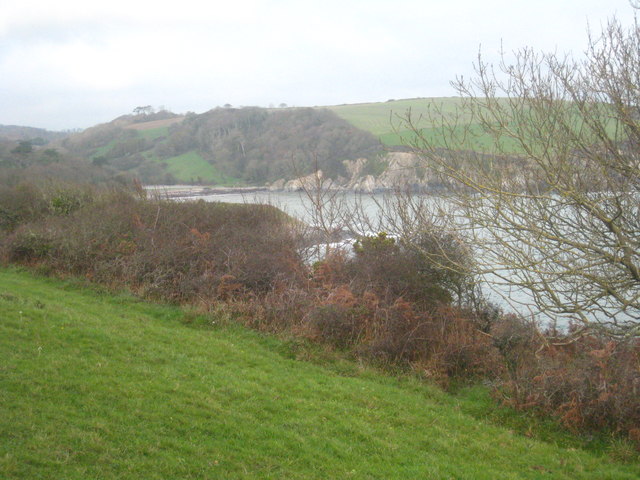
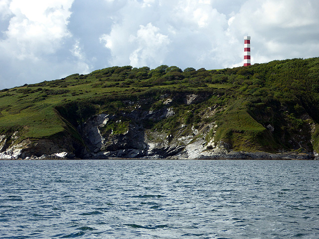
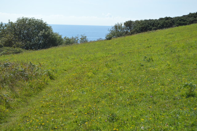
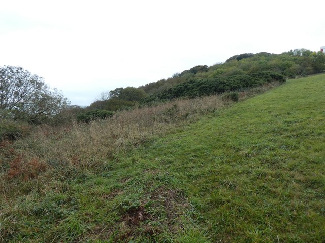
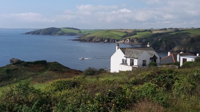
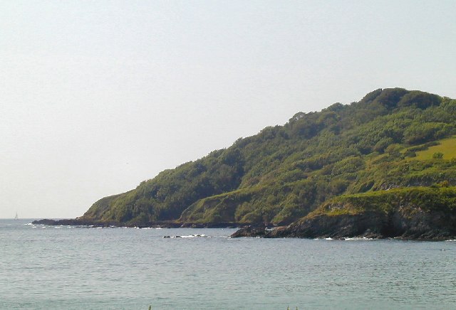
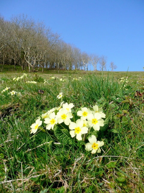
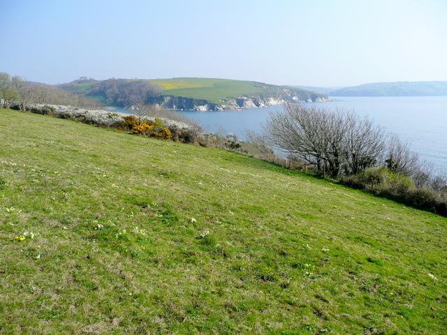
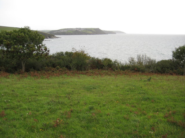
Allday's Fields is a picturesque area located in Cornwall, England. Nestled between the Downs and Moorland, this serene landscape offers visitors a captivating blend of natural beauty and tranquility. The fields are spread over a vast stretch of land, adorned with lush greenery, vibrant wildflowers, and rolling hills.
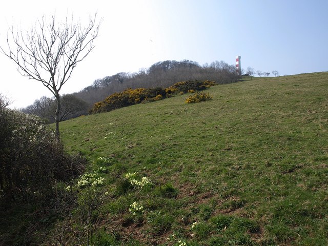
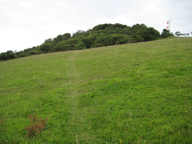
The Downs in Allday's Fields are characterized by their gently sloping terrain, providing visitors with sweeping views of the surrounding countryside. The area is dotted with clusters of ancient trees, offering shade and a sense of history. The Downs are a haven for wildlife enthusiasts, as they are home to a diverse range of birds and small mammals.
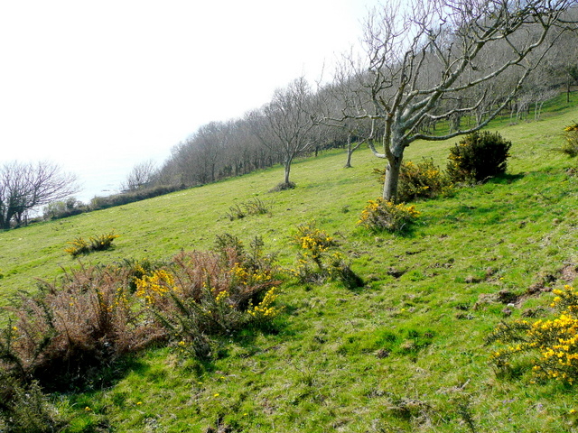
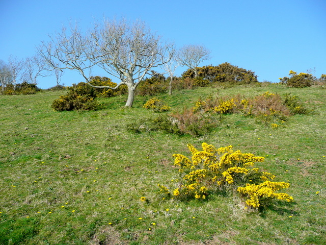
On the other hand, the Moorland in Allday's Fields is a place of untamed beauty. This rugged landscape is covered in heather and gorse, painting the land in hues of purple and yellow. The Moorland is crisscrossed by meandering footpaths, allowing visitors to explore its vast expanse at their own pace. It is not uncommon to spot wild ponies grazing in the distance, adding to the charm of the area.
Allday's Fields is a popular destination for hikers and nature lovers, who come to immerse themselves in the tranquility of the countryside. The area offers a sense of escapism, allowing visitors to disconnect from the hustle and bustle of modern life. Whether it's a leisurely stroll or an adventurous hike, Allday's Fields promises an unforgettable experience for all who visit.
If you have any feedback on the listing, please let us know in the comments section below.
Allday's Fields Images
Images are sourced within 2km of 50.328623/-4.6501968 or Grid Reference SX1150. Thanks to Geograph Open Source API. All images are credited.

Allday's Fields is located at Grid Ref: SX1150 (Lat: 50.328623, Lng: -4.6501968)
Unitary Authority: Cornwall
Police Authority: Devon and Cornwall
What 3 Words
///recovery.troubled.rags. Near Fowey, Cornwall
Related Wikis
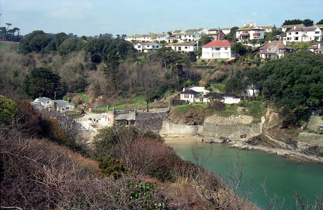
Readymoney Cove
Readymoney Cove (Cornish: Porth Mundy, meaning mineral house cove) is a sandy beach to the south of the harbour town of Fowey, Cornwall, England, United...
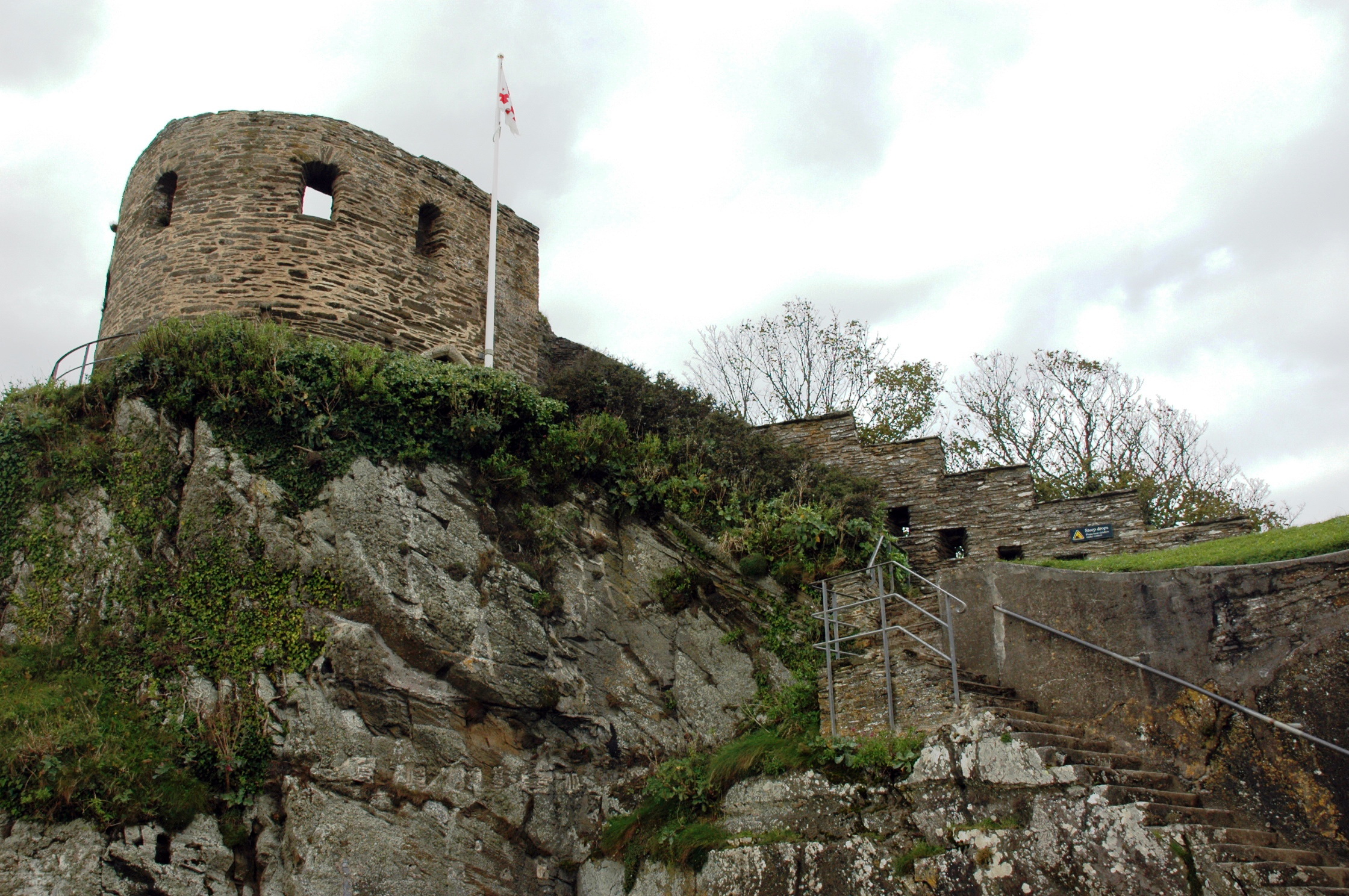
St Catherine's Castle
St Catherine's Castle (Cornish: Kastel S. Kattrin) is a Henrician castle in Cornwall, England, built by Thomas Treffry between approximately 1538 and 1540...

River Fowey
The River Fowey ( FOY; Standard Written Form: Fowi) is a river in Cornwall, England, United Kingdom. It rises at Fowey Well (originally Cornish: Fenten...
Fowey River Academy
Fowey River Academy is a co-educational secondary school with academy status (Learning Edge Academies Partnership), serving a large and diverse catchment...
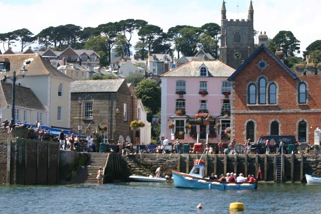
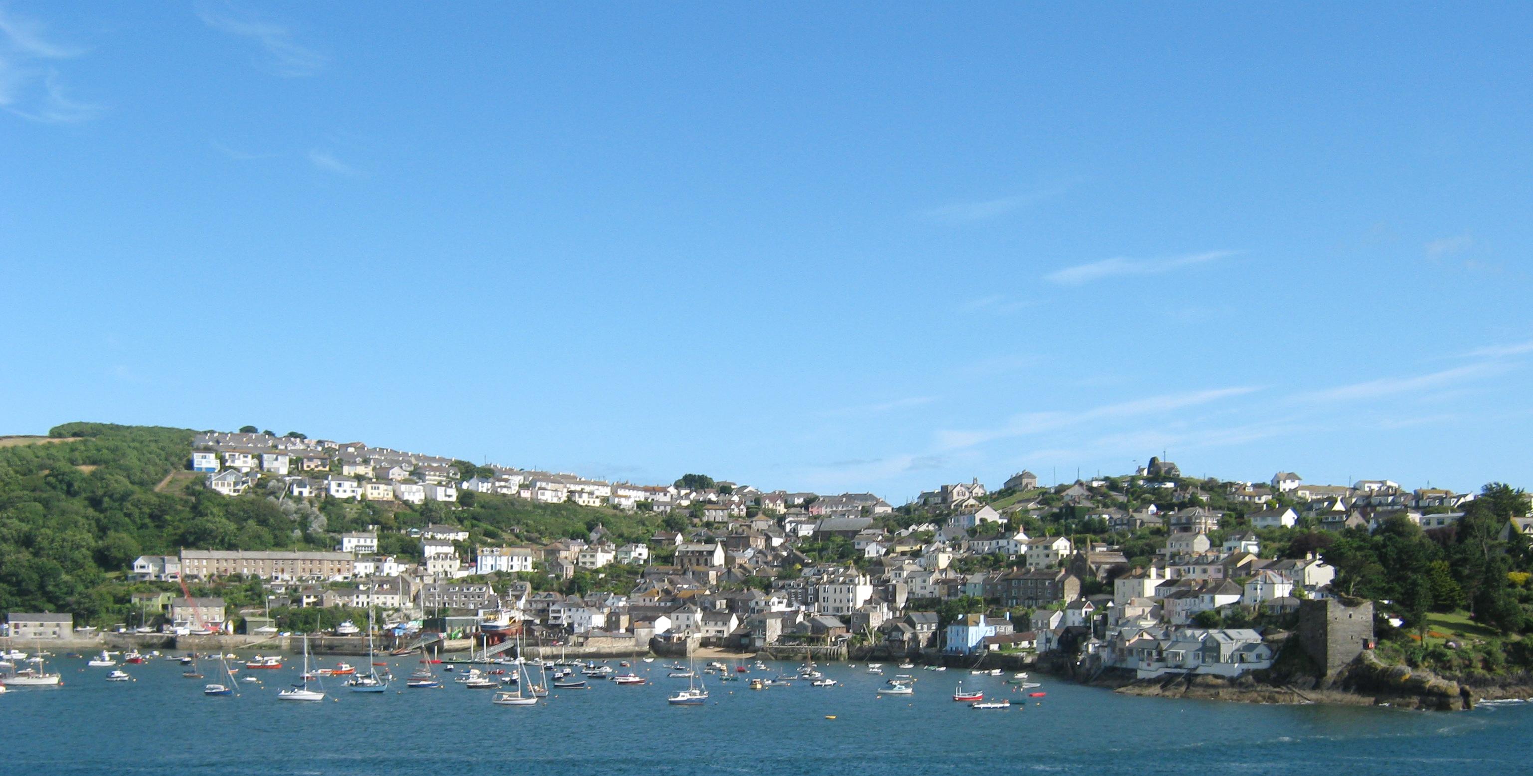
Fowey
Fowey ( FOY; Cornish: Fowydh, meaning 'Beech Trees') is a port town and civil parish at the mouth of the River Fowey in south Cornwall, England, United...

Royal Fowey Yacht Club
The Royal Fowey Yacht Club is located in a waterfront setting at Fowey, on the south coast of Cornwall one of the UK's most secure harbours. Its antecedents...
Polruan
Polruan (Cornish: Porthruwan) is a coastal village in the parish of Lanteglos-by-Fowey in Cornwall, England, United Kingdom. It is bounded on three sides...
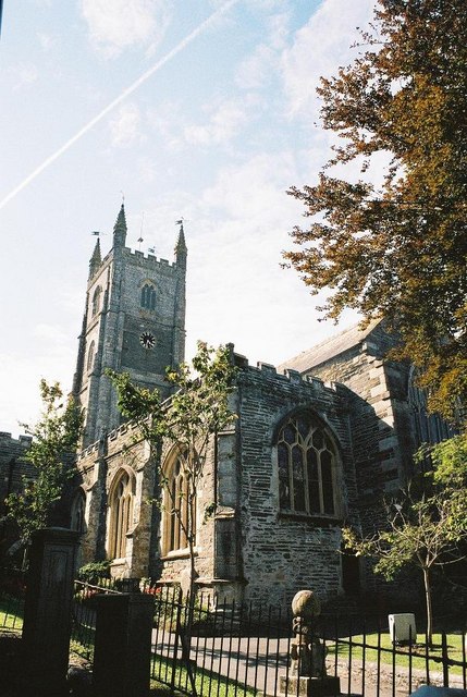
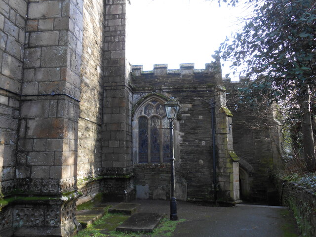
Church of St Fimbarrus, Fowey
The Church of St Fimbarrus is an Anglican parish church in Fowey, Cornwall, England. Also known as Fowey Parish Church, it is in the Church of England...
Nearby Amenities
Located within 500m of 50.328623,-4.6501968Have you been to Allday's Fields?
Leave your review of Allday's Fields below (or comments, questions and feedback).