Little Coombe Hawne
Bay in Cornwall
England
Little Coombe Hawne
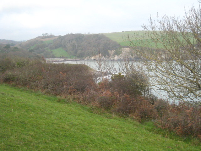
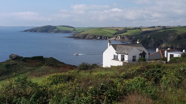
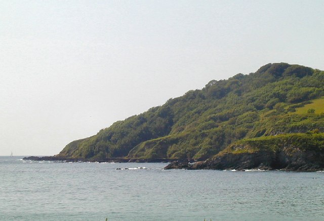
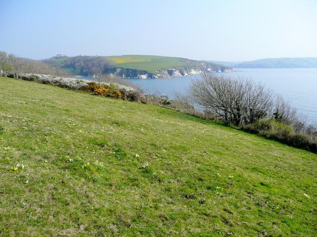
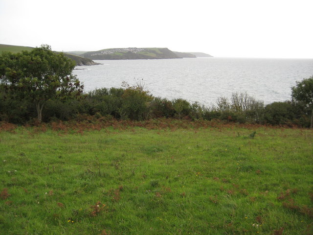
Little Coombe Hawne Bay is a picturesque coastal area located in Cornwall, England. Situated on the south-west coast, the bay offers stunning views of the Atlantic Ocean and is known for its natural beauty and rugged landscapes.
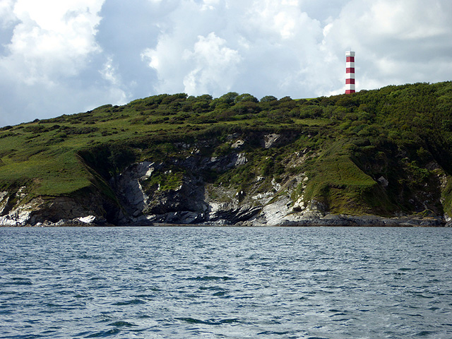
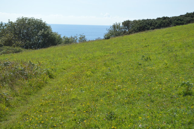
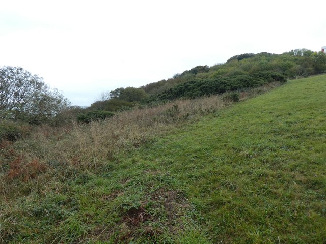
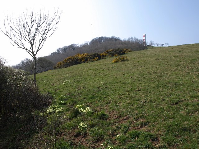
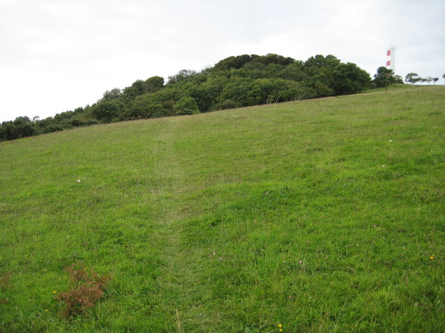
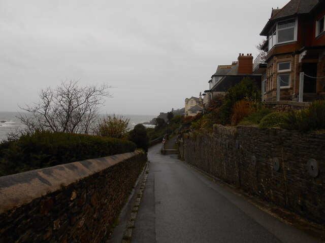
The bay is characterized by its dramatic cliffs, rocky shorelines, and sandy beaches. The cliffs, formed by millions of years of geological activity, create a striking backdrop against the turquoise waters of the ocean. Visitors to the bay can enjoy long walks along the coastal paths, taking in the breathtaking scenery and spotting various seabirds and marine life.
The sandy beaches of Little Coombe Hawne Bay are a major attraction for tourists and locals alike. The soft golden sand provides the perfect spot for sunbathing, picnicking, and building sandcastles. The bay is also a popular destination for water sports enthusiasts, with opportunities for surfing, swimming, and kayaking.
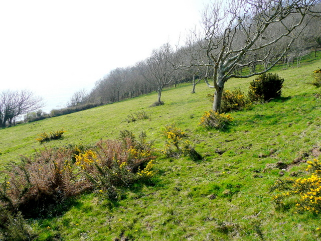
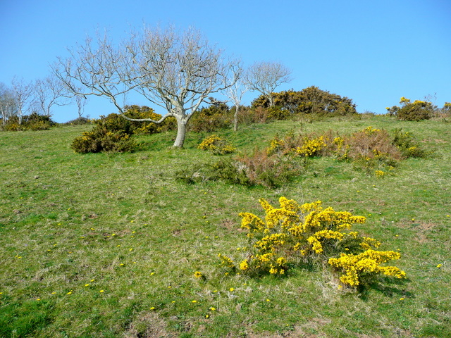
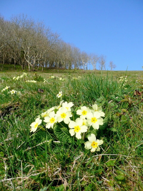
In addition to its natural beauty, Little Coombe Hawne Bay is home to a diverse range of flora and fauna. The area is known for its rich biodiversity, with a variety of plant species thriving in the coastal environment. Wildlife enthusiasts can spot seals, dolphins, and even the occasional whale off the shores of the bay.
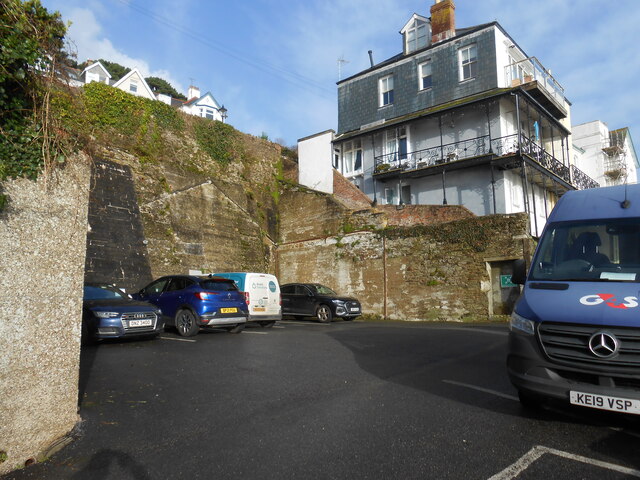
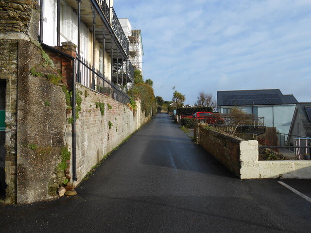
Access to Little Coombe Hawne Bay is facilitated by a network of well-maintained roads and footpaths. The bay is also served by a nearby car park and public transport links, making it easily accessible to visitors.
Overall, Little Coombe Hawne Bay is a stunning coastal destination that offers a perfect blend of natural beauty, outdoor activities, and wildlife sightings. It is a must-visit location for those seeking to explore the rugged charm of Cornwall's coastline.
If you have any feedback on the listing, please let us know in the comments section below.
Little Coombe Hawne Images
Images are sourced within 2km of 50.325303/-4.6518385 or Grid Reference SX1150. Thanks to Geograph Open Source API. All images are credited.

Little Coombe Hawne is located at Grid Ref: SX1150 (Lat: 50.325303, Lng: -4.6518385)
Unitary Authority: Cornwall
Police Authority: Devon and Cornwall
What 3 Words
///reds.sprawls.cornering. Near Fowey, Cornwall
Related Wikis
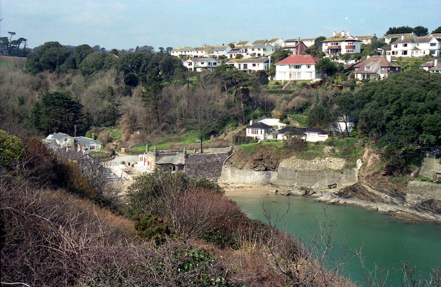
Readymoney Cove
Readymoney Cove (Cornish: Porth Mundy, meaning mineral house cove) is a sandy beach to the south of the harbour town of Fowey, Cornwall, England, United...
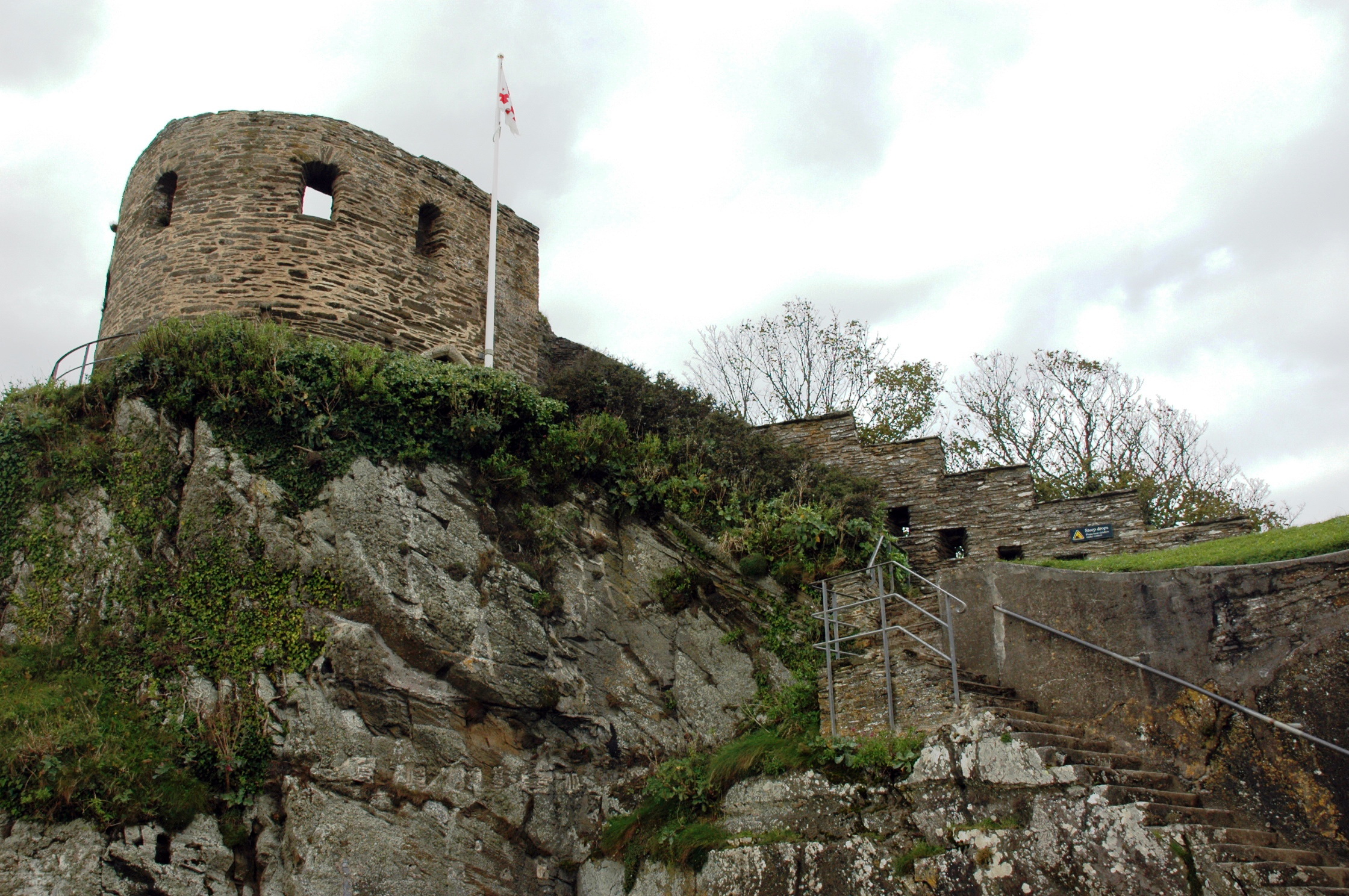
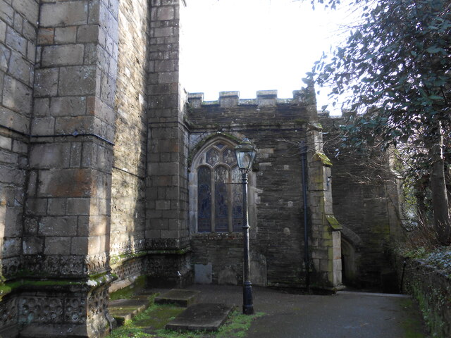
St Catherine's Castle
St Catherine's Castle (Cornish: Kastel S. Kattrin) is a Henrician castle in Cornwall, England, built by Thomas Treffry between approximately 1538 and 1540...

River Fowey
The River Fowey ( FOY; Standard Written Form: Fowi) is a river in Cornwall, England, United Kingdom. It rises at Fowey Well (originally Cornish: Fenten...
Fowey River Academy
Fowey River Academy is a co-educational secondary school with academy status (Learning Edge Academies Partnership), serving a large and diverse catchment...
Polruan
Polruan (Cornish: Porthruwan) is a coastal village in the parish of Lanteglos-by-Fowey in Cornwall, England, United Kingdom. It is bounded on three sides...
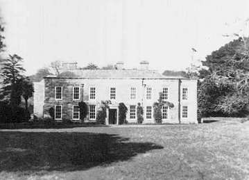
Menabilly
Menabilly (Cornish: Men Ebeli, meaning stone of colts) is a historic estate on the south coast of Cornwall, England, situated within the parish of Tywardreath...

Royal Fowey Yacht Club
The Royal Fowey Yacht Club is located in a waterfront setting at Fowey, on the south coast of Cornwall one of the UK's most secure harbours. Its antecedents...
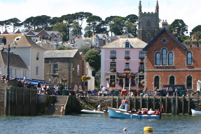
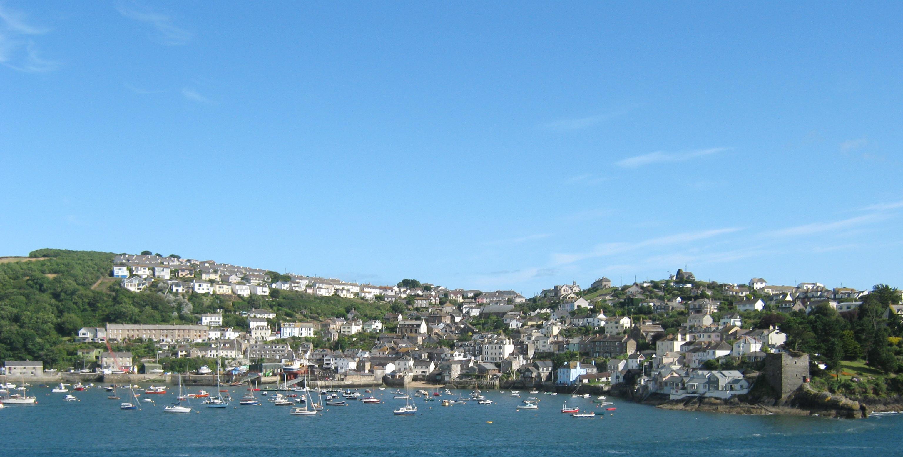
Fowey
Fowey ( FOY; Cornish: Fowydh, meaning 'Beech Trees') is a port town and civil parish at the mouth of the River Fowey in south Cornwall, England, United...
Nearby Amenities
Located within 500m of 50.325303,-4.6518385Have you been to Little Coombe Hawne?
Leave your review of Little Coombe Hawne below (or comments, questions and feedback).