Southground Cliffs
Cliff, Slope in Cornwall
England
Southground Cliffs
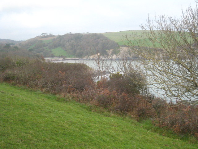
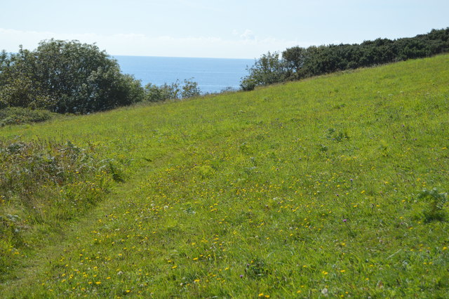
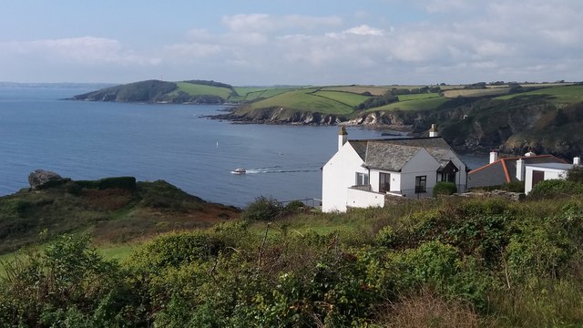
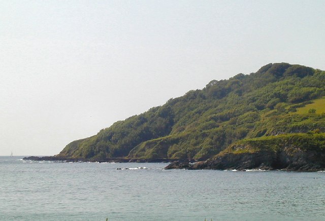
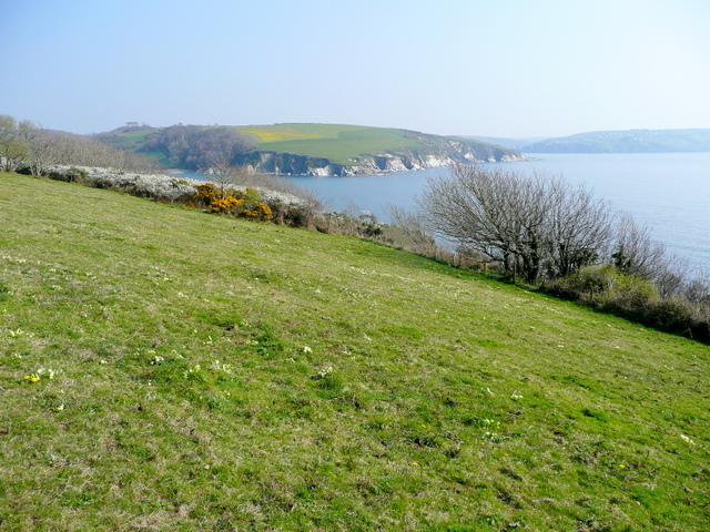
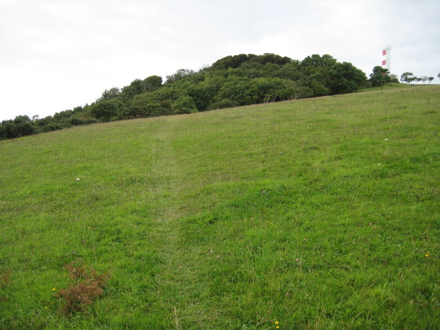
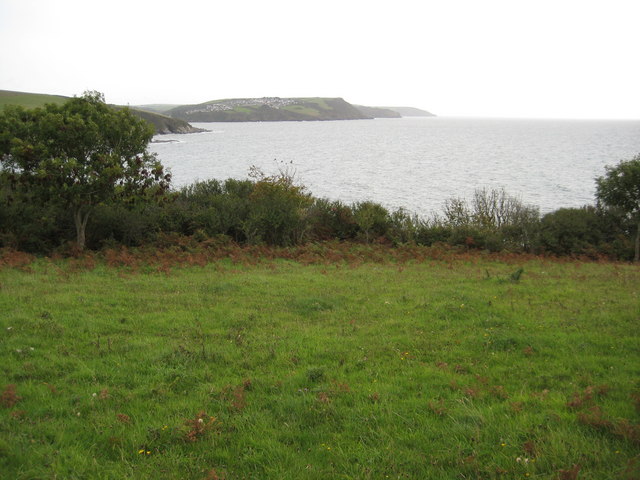
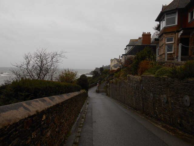
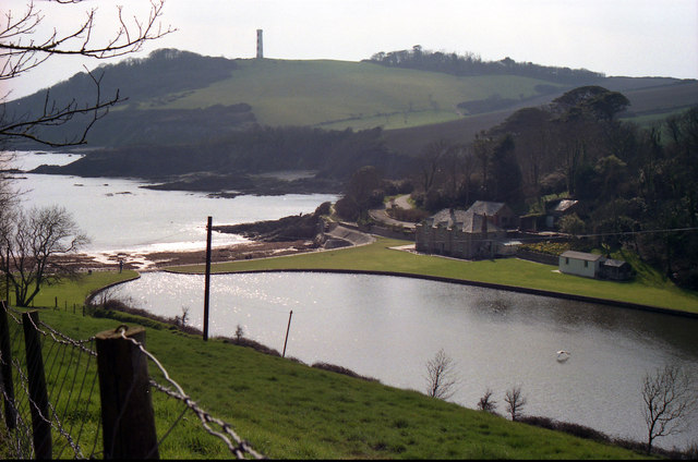
Southground Cliffs are a prominent geological formation located on the southern coast of Cornwall, England. These cliffs span a distance of approximately 5 miles and are situated between the coastal towns of Polperro and Looe. Offering breathtaking views of the English Channel, they are a popular destination for hikers, nature enthusiasts, and geology enthusiasts alike.
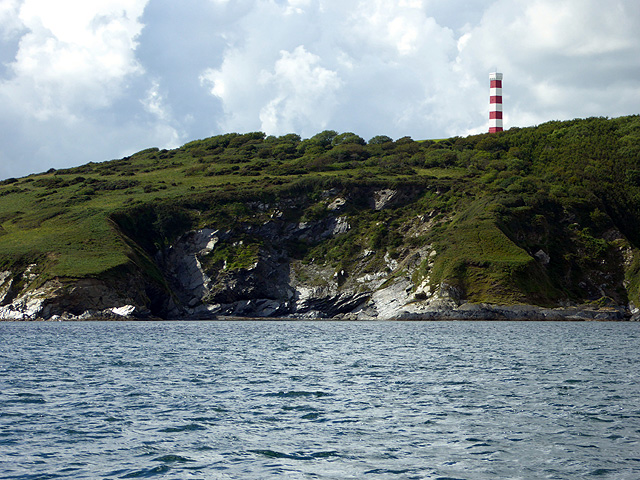
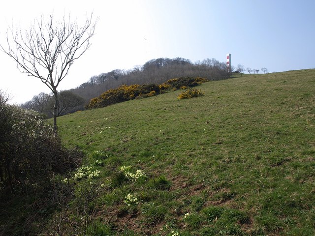
The cliffs are characterized by their towering height, reaching up to 200 feet in some areas, and their rugged, rocky terrain. The rocks that make up the cliffs primarily consist of hard, resistant materials such as granite and slate, which have been shaped over millions of years by the forces of erosion.
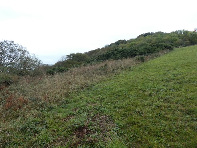
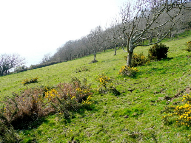
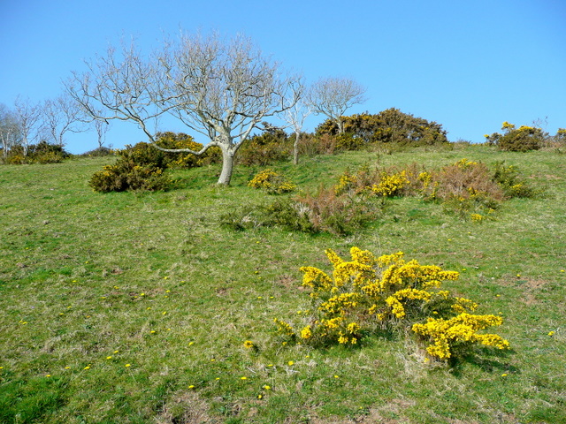
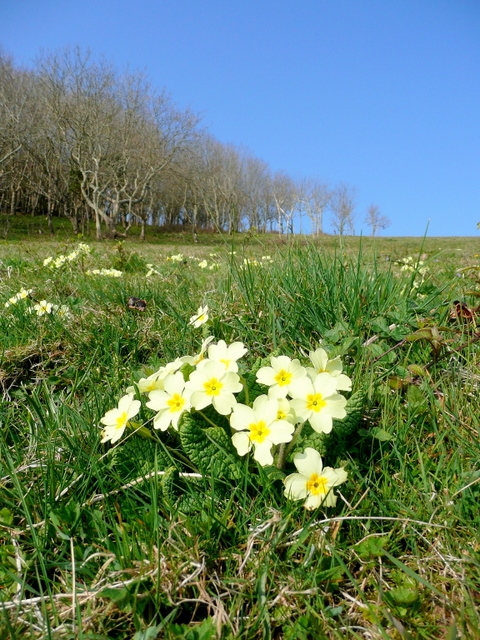
The steep slopes of Southground Cliffs are covered in lush vegetation, including various species of grasses, shrubs, and wildflowers. This diverse flora provides a habitat for a multitude of bird species, including peregrine falcons, kestrels, and gulls. Visitors to the area may also catch a glimpse of seals, dolphins, and other marine life in the surrounding waters.
Southground Cliffs are a site of geological significance, showcasing the complex geological history of the region. The exposed rock layers reveal a fascinating story of ancient volcanic activity and subsequent folding and faulting. Fossils can also be found within the cliffs, offering insights into the marine life that existed millions of years ago.
Due to the steep nature of the cliffs, caution is advised when exploring the area. It is important to stay on designated paths and avoid getting too close to the cliff edges. Nonetheless, the stunning natural beauty and geological wonders of Southground Cliffs make it a must-visit destination for those seeking an unforgettable experience in Cornwall.
If you have any feedback on the listing, please let us know in the comments section below.
Southground Cliffs Images
Images are sourced within 2km of 50.323289/-4.6553513 or Grid Reference SX1150. Thanks to Geograph Open Source API. All images are credited.

Southground Cliffs is located at Grid Ref: SX1150 (Lat: 50.323289, Lng: -4.6553513)
Unitary Authority: Cornwall
Police Authority: Devon and Cornwall
What 3 Words
///nurse.composes.fields. Near Fowey, Cornwall
Related Wikis
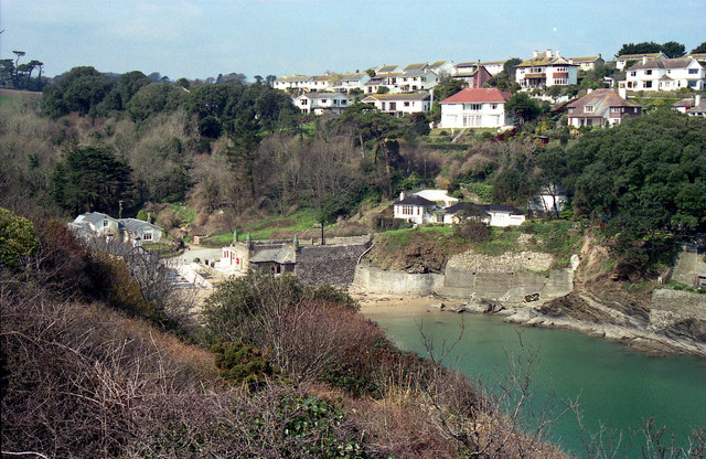
Readymoney Cove
Readymoney Cove (Cornish: Porth Mundy, meaning mineral house cove) is a sandy beach to the south of the harbour town of Fowey, Cornwall, England, United...
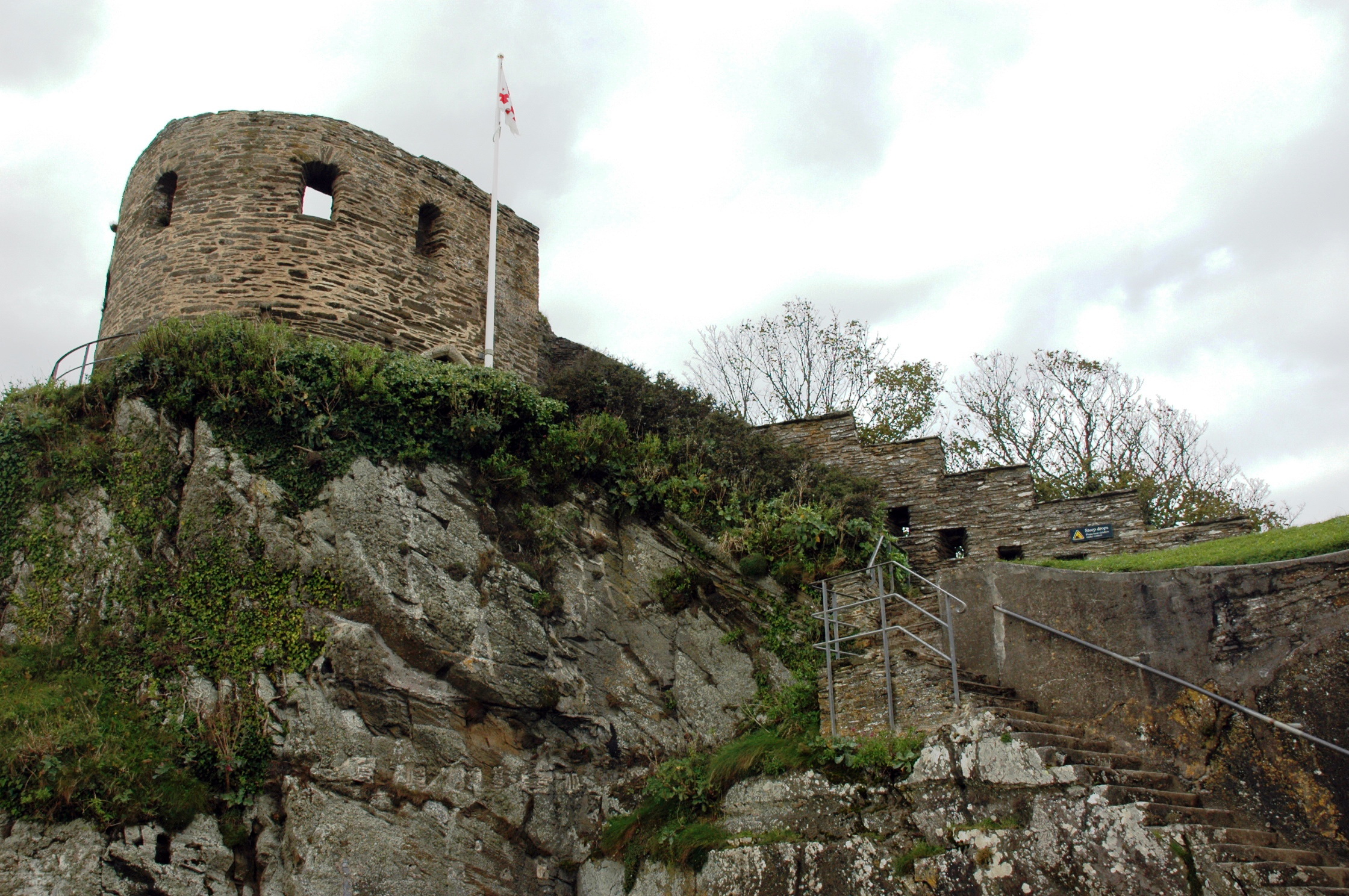
St Catherine's Castle
St Catherine's Castle (Cornish: Kastel S. Kattrin) is a Henrician castle in Cornwall, England, built by Thomas Treffry between approximately 1538 and 1540...

River Fowey
The River Fowey ( FOY; Standard Written Form: Fowi) is a river in Cornwall, England, United Kingdom. It rises at Fowey Well (originally Cornish: Fenten...
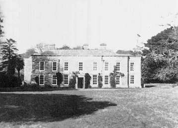
Menabilly
Menabilly (Cornish: Men Ebeli, meaning stone of colts) is a historic estate on the south coast of Cornwall, England, situated within the parish of Tywardreath...
Gribben Head
Gribbin Head (Cornish: an Gribyn) is a promontory on the south coast of Cornwall, England, UK, owned and managed by the National Trust. It separates St...
Fowey River Academy
Fowey River Academy is a co-educational secondary school with academy status (Learning Edge Academies Partnership), serving a large and diverse catchment...
Polruan
Polruan (Cornish: Porthruwan) is a coastal village in the parish of Lanteglos-by-Fowey in Cornwall, England, United Kingdom. It is bounded on three sides...

Royal Fowey Yacht Club
The Royal Fowey Yacht Club is located in a waterfront setting at Fowey, on the south coast of Cornwall one of the UK's most secure harbours. Its antecedents...
Nearby Amenities
Located within 500m of 50.323289,-4.6553513Have you been to Southground Cliffs?
Leave your review of Southground Cliffs below (or comments, questions and feedback).