Beeny Cliff
Cliff, Slope in Cornwall
England
Beeny Cliff
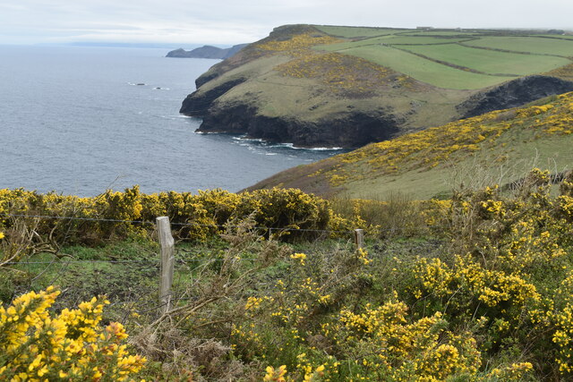
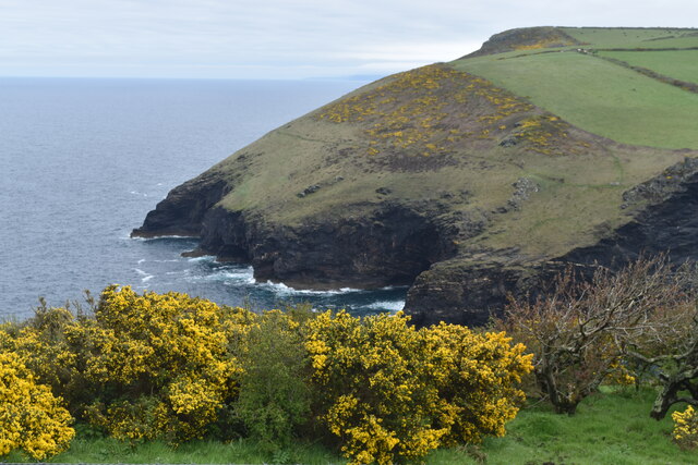
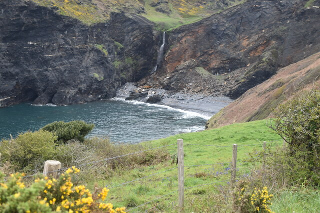
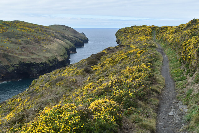
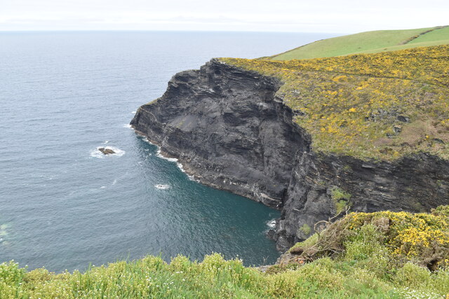
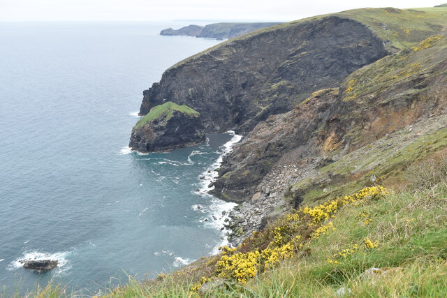
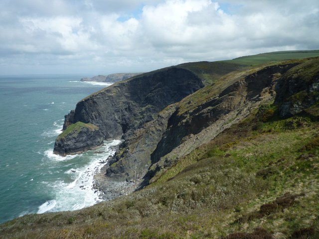
Beeny Cliff is a picturesque coastal feature located in Cornwall, England. Situated on the southern coastline of the county, it forms part of the larger North Cornish coast. Beeny Cliff is a prominent cliff face that overlooks the Atlantic Ocean, offering breathtaking views of the surrounding landscape.
The cliff is characterized by its steep slope and jagged edges, reaching heights of approximately 80 meters (262 feet) above sea level. The rock formations that make up Beeny Cliff are predominantly composed of rugged granite, which adds to its dramatic appearance.
The area surrounding Beeny Cliff is known for its rich biodiversity and natural beauty. The cliff face provides a habitat for various species of birds, including gulls and fulmars, which nest in the crevices and ledges. The surrounding coastal waters are home to a diverse range of marine life, making it a popular spot for snorkeling and diving enthusiasts.
In addition to its natural beauty, Beeny Cliff also holds historical significance. The cliff is part of the larger Tintagel Coast, an area steeped in Arthurian legend. It is believed to have inspired the famous poet Thomas Hardy, who wrote about it in his poem "Beeny Cliff."
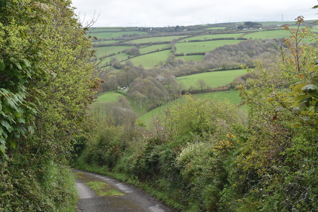
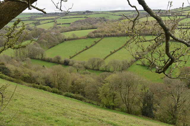
Accessible via a well-maintained footpath, Beeny Cliff attracts visitors from near and far who come to admire its awe-inspiring views and explore the surrounding coastal area. Whether it's for a leisurely walk along the cliff path, birdwatching, or simply enjoying the tranquility of the ocean, Beeny Cliff offers a captivating experience for nature lovers and history enthusiasts alike.
If you have any feedback on the listing, please let us know in the comments section below.
Beeny Cliff Images
Images are sourced within 2km of 50.706732/-4.6745163 or Grid Reference SX1193. Thanks to Geograph Open Source API. All images are credited.


Beeny Cliff is located at Grid Ref: SX1193 (Lat: 50.706732, Lng: -4.6745163)
Unitary Authority: Cornwall
Police Authority: Devon and Cornwall
What 3 Words
///parked.sends.blacked. Near Tintagel, Cornwall
Nearby Locations
Related Wikis

Beeny
Beeny is a hamlet in north Cornwall, England, UK. It is in a sheltered valley near the coast two miles (3 km) north-east of Boscastle. == Literary allusions... ==

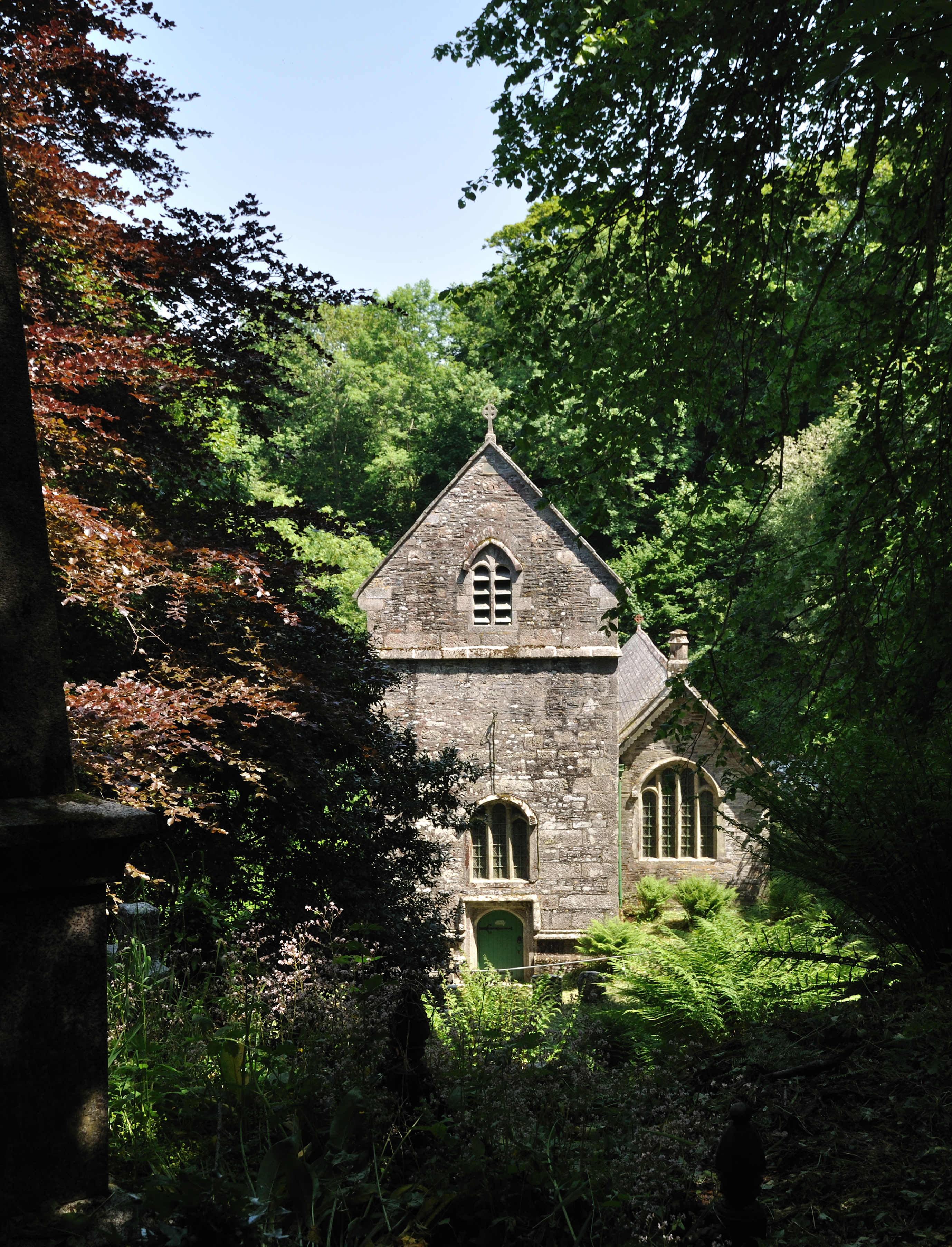
St Julitta's Church, St Juliot
St Julitta's Church, St Juliot is a Grade II* listed parish church in the Church of England Diocese of Truro in St Juliot, Cornwall. (St Julitta's Church...
St Juliot
St Juliot is a civil parish in north-east Cornwall, England, United Kingdom. The parish is entirely rural and the settlements within it are the hamlets...
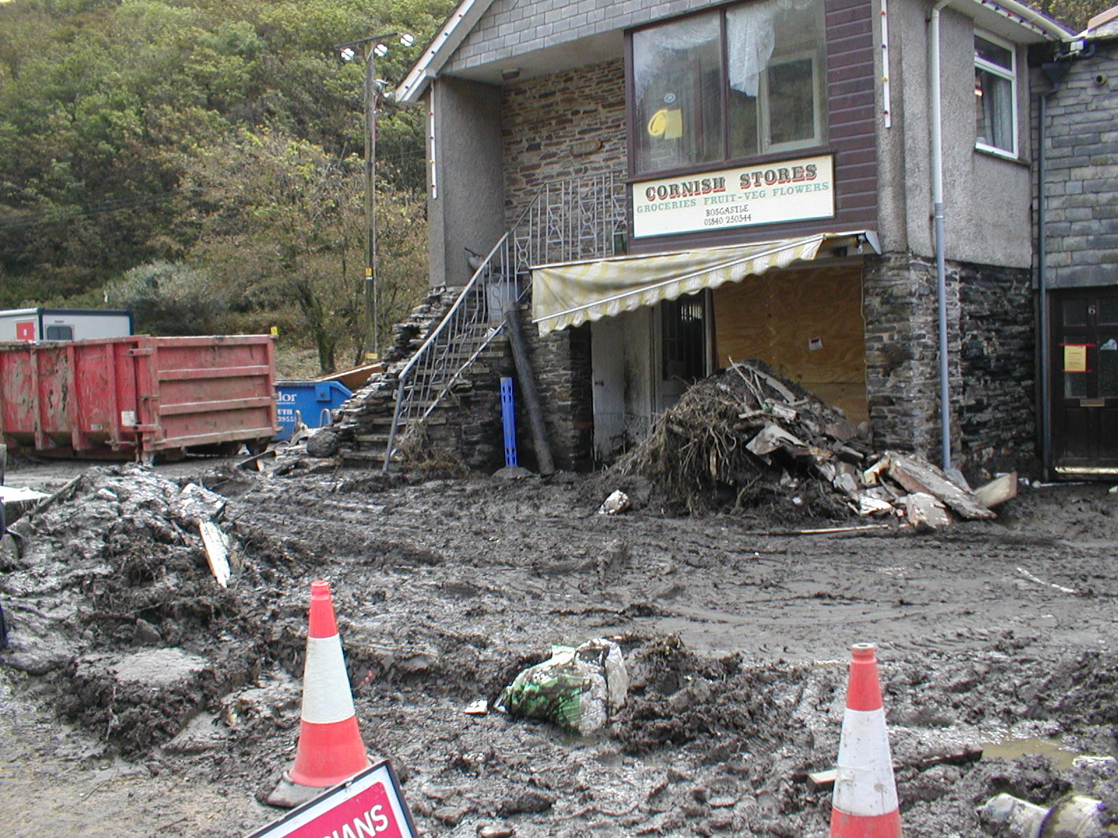
2004 Boscastle flood
The 2004 Boscastle flood (Cornish: An Lanwes Kastel Boterel 2004) occurred on Monday, 16 August 2004 in the two villages of Boscastle and Crackington Haven...

Museum of Witchcraft and Magic
The Museum of Witchcraft and Magic, formerly known as the Museum of Witchcraft, is a museum dedicated to European witchcraft and magic located in the village...

River Valency
The River Valency (Cornish: Dowr an Velinji) is a short river in north Cornwall, England, UK, with many small tributaries. After running past Lesnewth...
Forrabury and Minster parish churches
The civil parishes to which the Forrabury and Minster parish churches belong were united in 1919 to form Forrabury and Minster parish, within Cornwall...

Pengold
Pengold is a hamlet near St Gennys in Cornwall, England, UK. Pengold is southwest of Higher Crackington. == References ==
Nearby Amenities
Located within 500m of 50.706732,-4.6745163Have you been to Beeny Cliff?
Leave your review of Beeny Cliff below (or comments, questions and feedback).