St Catherine's Point
Coastal Feature, Headland, Point in Cornwall
England
St Catherine's Point
St Catherine's Point is a prominent coastal feature located on the southern coast of Cornwall, England. It is a picturesque headland that juts out into the English Channel and is renowned for its stunning natural beauty and rich history.
Situated near the village of Niton, St Catherine's Point offers breathtaking panoramic views of the surrounding coastline and the vast expanse of the ocean. The headland is characterized by towering cliffs that reach heights of up to 100 meters, creating a dramatic and imposing landscape. These cliffs are composed of sedimentary rocks, such as limestone and sandstone, which have been shaped over centuries by the erosive forces of the sea.
The point is also home to the iconic St Catherine's Lighthouse, which has been guiding ships since 1323. The current lighthouse, built in 1838, stands at an impressive 24 meters tall and is still operational today. Its distinctive white tower with red stripes serves as a navigational landmark for ships sailing along the treacherous waters of the English Channel.
In addition to its natural and historical significance, St Catherine's Point is a popular destination for outdoor enthusiasts. The headland offers excellent opportunities for walking, hiking, and birdwatching, with various trails and viewpoints scattered throughout the area. Visitors can observe a diverse range of seabirds, including fulmars, gannets, and kittiwakes, as well as occasional sightings of dolphins and seals.
Overall, St Catherine's Point is a captivating coastal feature that combines stunning natural beauty, historical significance, and recreational opportunities. Its towering cliffs, scenic views, and iconic lighthouse make it a must-visit destination for both locals and tourists alike.
If you have any feedback on the listing, please let us know in the comments section below.
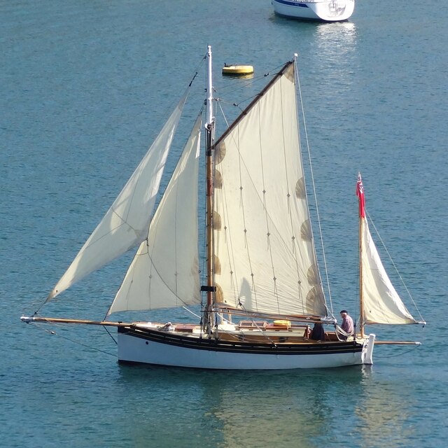
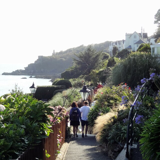
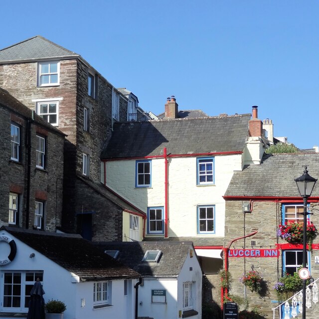
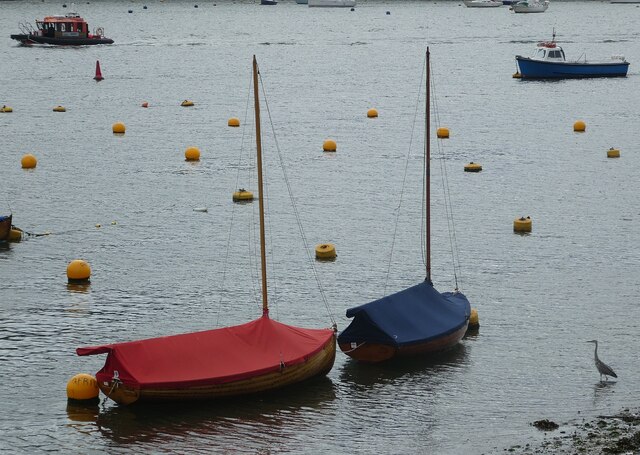
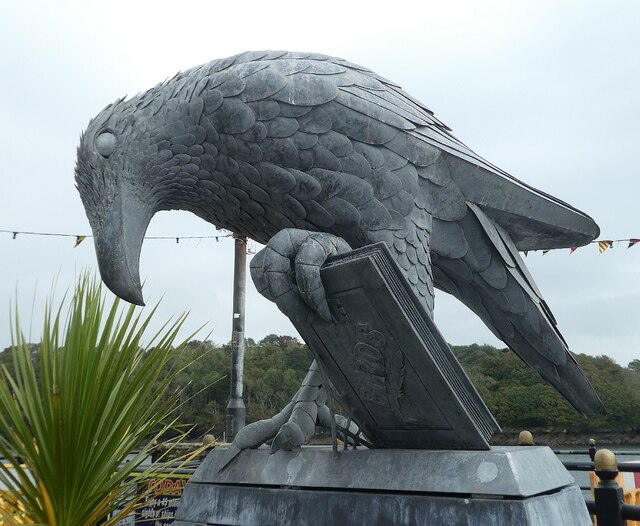
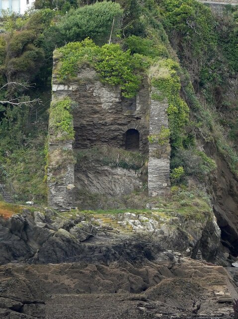
St Catherine's Point Images
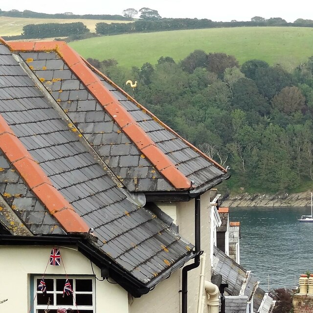
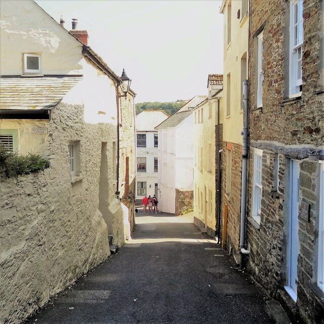
Images are sourced within 2km of 50.328296/-4.6444454 or Grid Reference SX1150. Thanks to Geograph Open Source API. All images are credited.
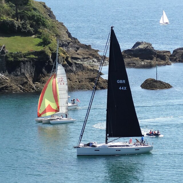
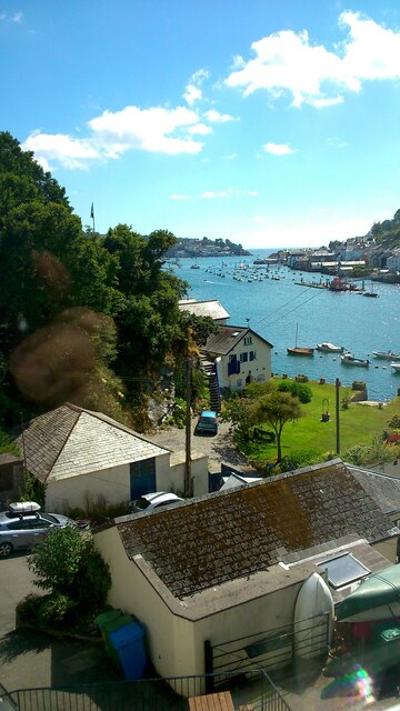
![Polruan from Fowey Looking over to the village of Polruan from the quayside in Fowey. A regular ferry can be taken between the two, running roughly every fifteen minutes during the day. The price each way [adult, 2021] is £2.50.](https://s0.geograph.org.uk/geophotos/06/98/81/6988112_c24182c4.jpg)
St Catherine's Point is located at Grid Ref: SX1150 (Lat: 50.328296, Lng: -4.6444454)
Unitary Authority: Cornwall
Police Authority: Devon and Cornwall
What 3 Words
///release.leads.tripling. Near Fowey, Cornwall
Related Wikis
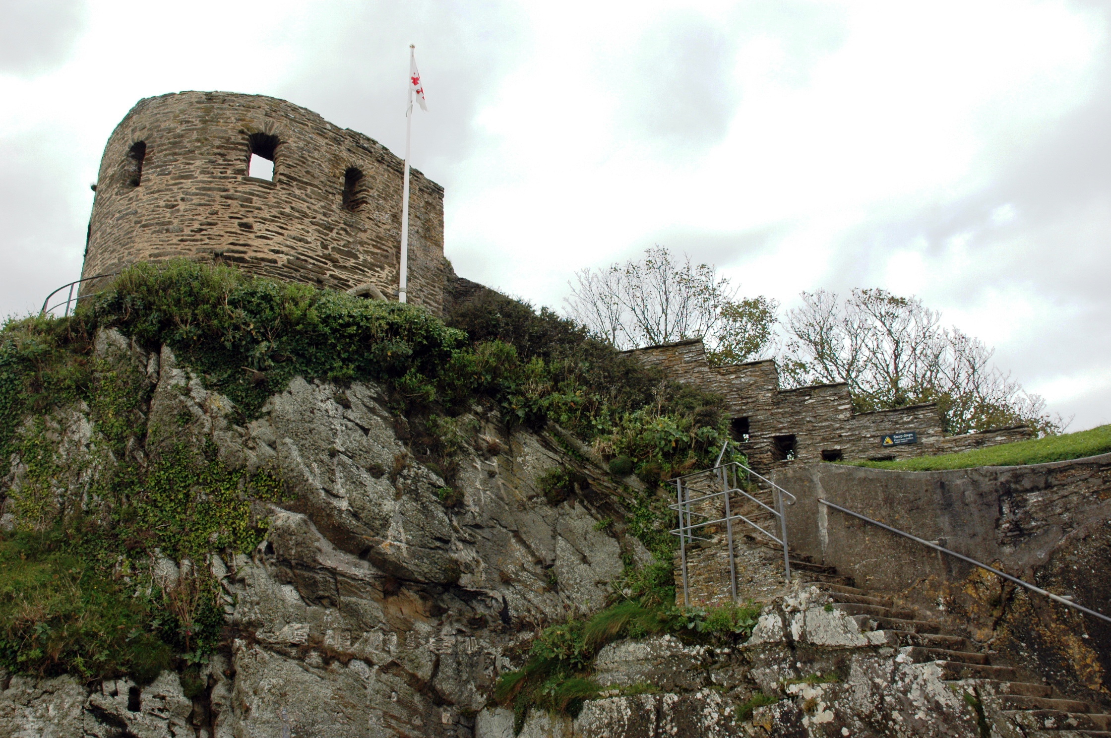
St Catherine's Castle
St Catherine's Castle (Cornish: Kastel S. Kattrin) is a Henrician castle in Cornwall, England, built by Thomas Treffry between approximately 1538 and 1540...
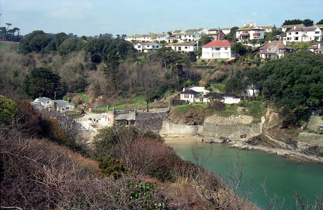
Readymoney Cove
Readymoney Cove (Cornish: Porth Mundy, meaning mineral house cove) is a sandy beach to the south of the harbour town of Fowey, Cornwall, England, United...

River Fowey
The River Fowey ( FOY; Standard Written Form: Fowi) is a river in Cornwall, England, United Kingdom. It rises at Fowey Well (originally Cornish: Fenten...
Fowey River Academy
Fowey River Academy is a co-educational secondary school with academy status (Learning Edge Academies Partnership), serving a large and diverse catchment...
Nearby Amenities
Located within 500m of 50.328296,-4.6444454Have you been to St Catherine's Point?
Leave your review of St Catherine's Point below (or comments, questions and feedback).