Coombe Hawne
Sea, Estuary, Creek in Cornwall
England
Coombe Hawne
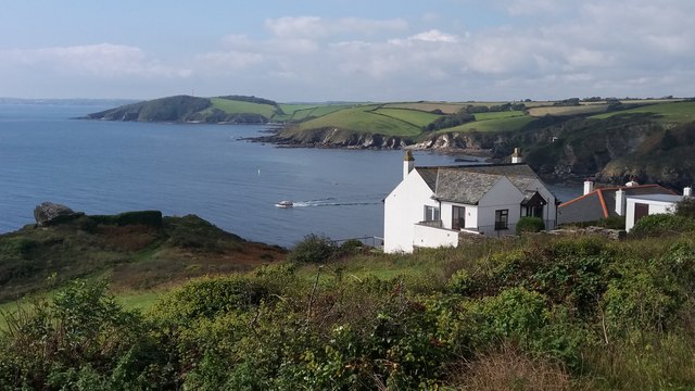
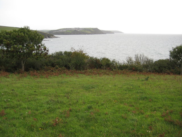
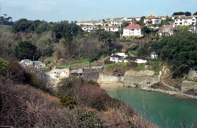
Coombe Hawne is a picturesque coastal area located in Cornwall, England. Situated on the south coast, it encompasses a sea, estuary, and creek, offering a diverse range of natural beauty and recreational activities.
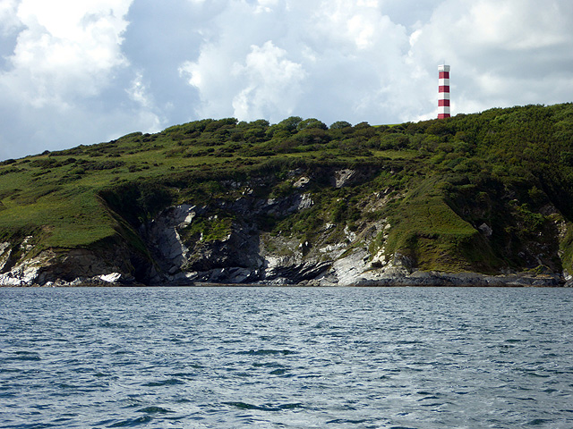
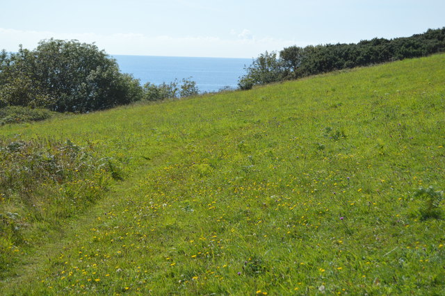
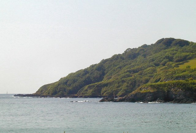
The sea at Coombe Hawne is characterized by its stunning turquoise waters and golden sandy beaches. It provides a perfect setting for swimming, sunbathing, and water sports such as surfing and sailing. The seafront is also dotted with charming seaside cafes and restaurants, offering visitors a chance to indulge in delicious local seafood.
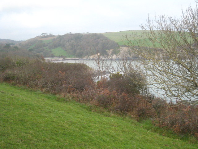
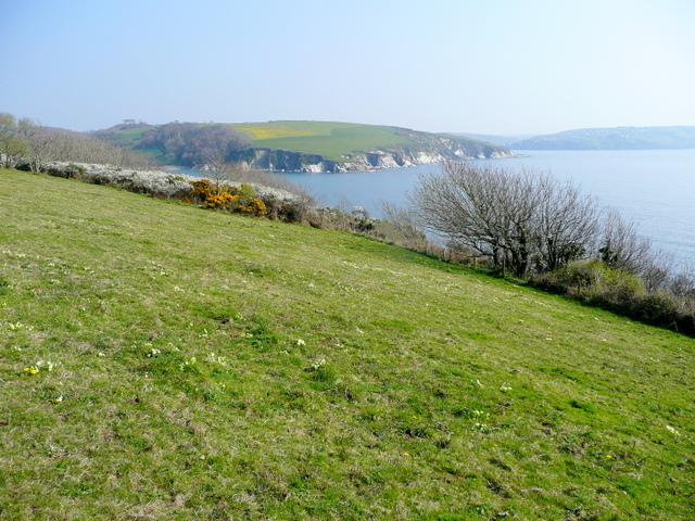
Adjacent to the sea is the estuary, a large body of water where the river meets the sea. The estuary at Coombe Hawne is renowned for its rich biodiversity and is a designated nature reserve. Visitors can explore the estuary by boat or kayak, observing a variety of bird species and marine life. The tranquil waters and lush vegetation make it an ideal spot for birdwatching and nature photography.
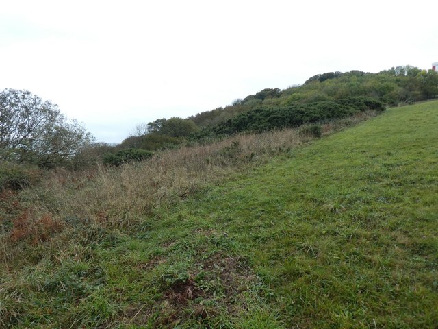
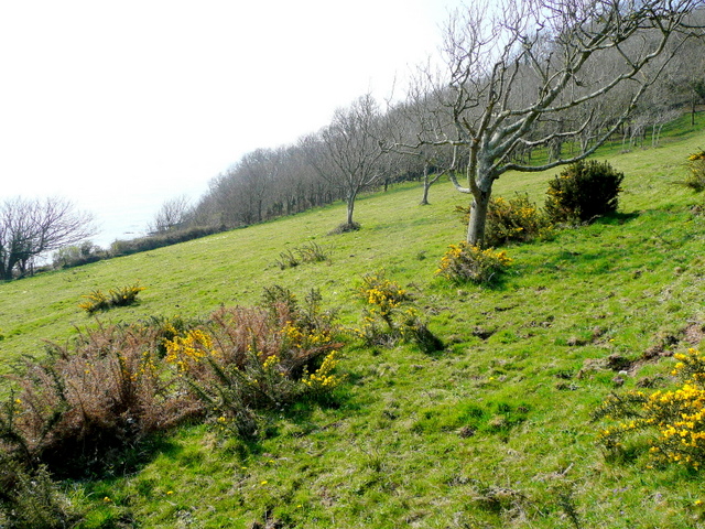
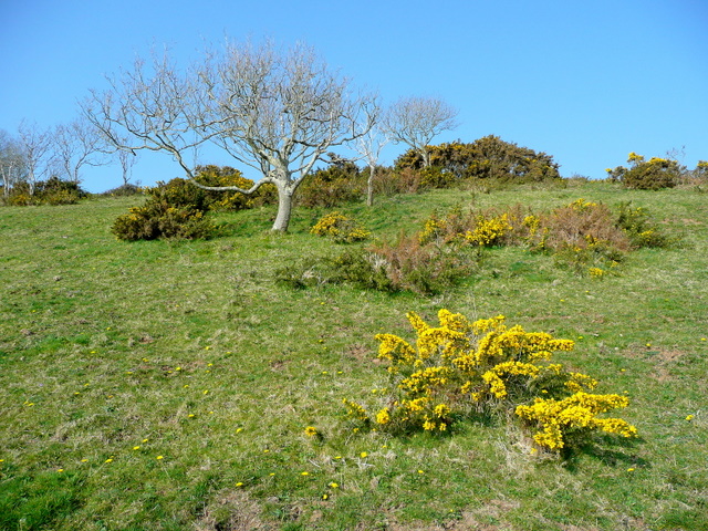
Further inland, the creek meanders through Coombe Hawne, offering a tranquil and idyllic setting. Surrounded by thick vegetation and rolling hills, the creek is perfect for leisurely walks or picnics. It is a popular spot for fishing enthusiasts, with its abundance of fish species.
Overall, Coombe Hawne in Cornwall is a haven for nature lovers, offering a unique blend of sea, estuary, and creek. With its stunning landscapes, diverse wildlife, and recreational opportunities, it attracts both locals and tourists seeking a peaceful and scenic retreat.
If you have any feedback on the listing, please let us know in the comments section below.
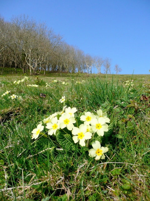
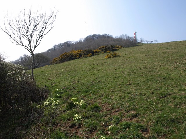
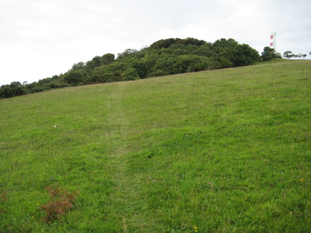
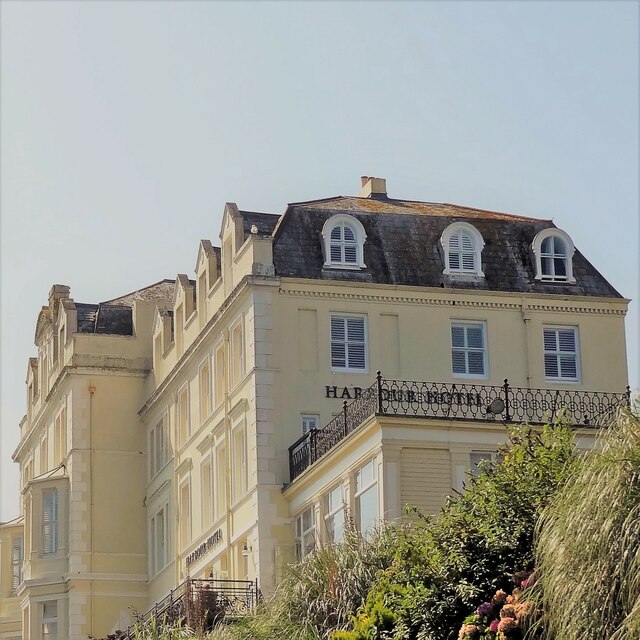
Coombe Hawne Images
Images are sourced within 2km of 50.325723/-4.6515388 or Grid Reference SX1150. Thanks to Geograph Open Source API. All images are credited.

Coombe Hawne is located at Grid Ref: SX1150 (Lat: 50.325723, Lng: -4.6515388)
Unitary Authority: Cornwall
Police Authority: Devon and Cornwall
What 3 Words
///slyly.prop.teamed. Near Fowey, Cornwall
Related Wikis
Readymoney Cove
Readymoney Cove (Cornish: Porth Mundy, meaning mineral house cove) is a sandy beach to the south of the harbour town of Fowey, Cornwall, England, United...
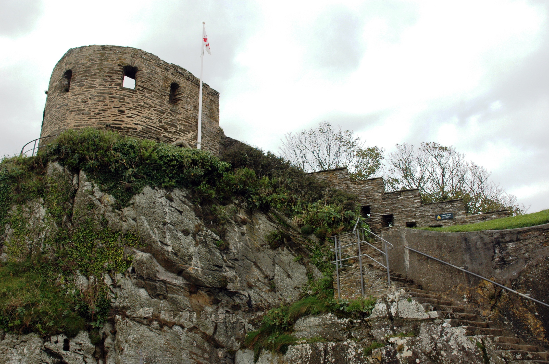
St Catherine's Castle
St Catherine's Castle (Cornish: Kastel S. Kattrin) is a Henrician castle in Cornwall, England, built by Thomas Treffry between approximately 1538 and 1540...

River Fowey
The River Fowey ( FOY; Standard Written Form: Fowi) is a river in Cornwall, England, United Kingdom. It rises at Fowey Well (originally Cornish: Fenten...
Fowey River Academy
Fowey River Academy is a co-educational secondary school with academy status (Learning Edge Academies Partnership), serving a large and diverse catchment...
Nearby Amenities
Located within 500m of 50.325723,-4.6515388Have you been to Coombe Hawne?
Leave your review of Coombe Hawne below (or comments, questions and feedback).