Cafn Enlli
Sea, Estuary, Creek in Caernarfonshire
Wales
Cafn Enlli
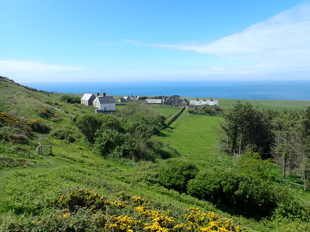
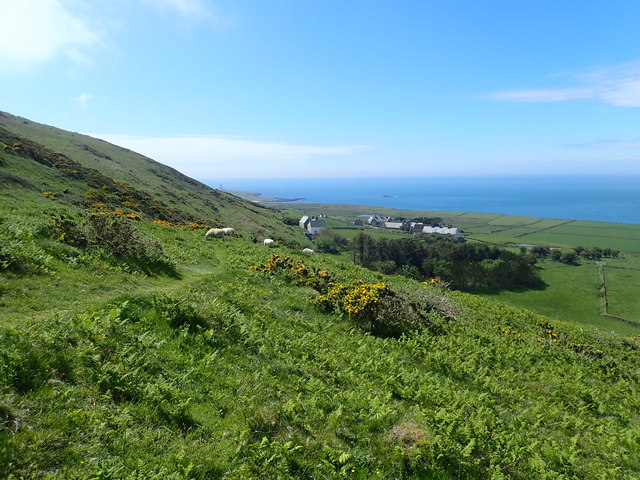
Cafn Enlli, located in Caernarfonshire, is a stunning coastal area encompassing a sea, estuary, and creek. Situated along the picturesque coastline of North Wales, this region is known for its natural beauty and diverse ecosystem.
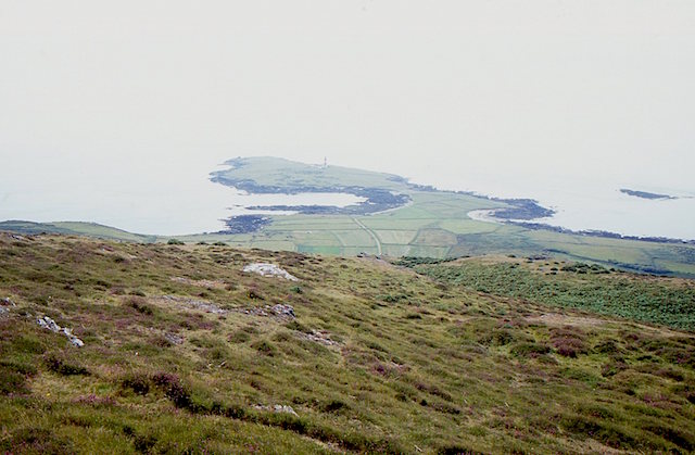
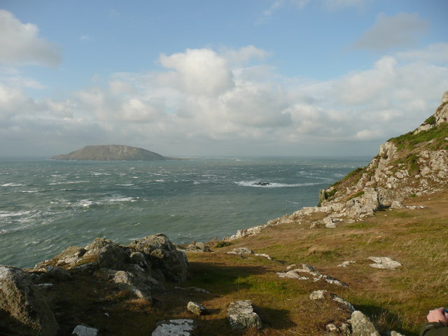
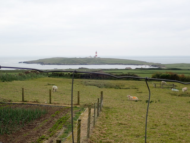
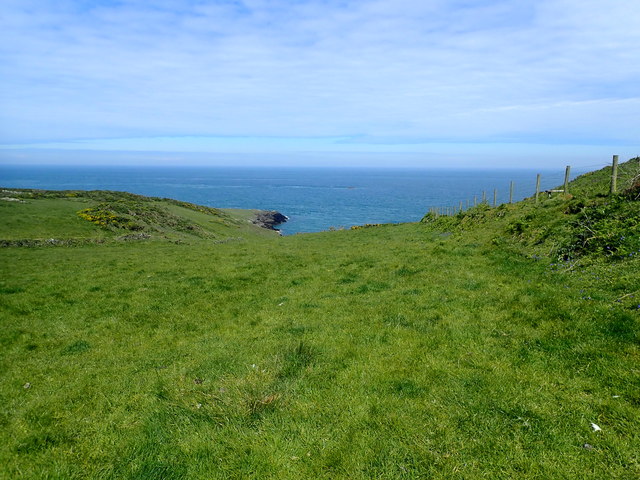
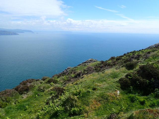
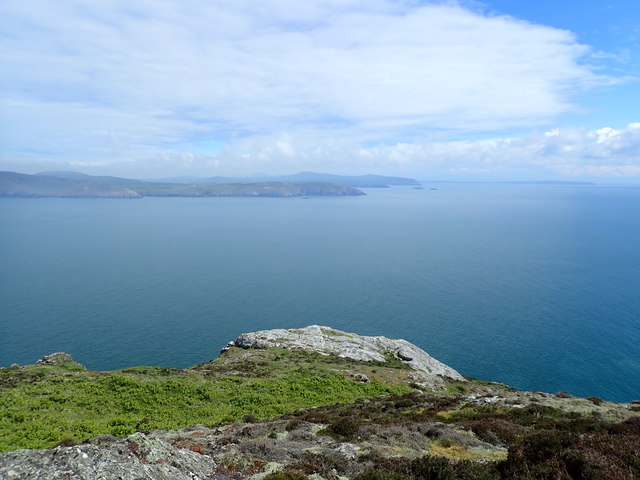
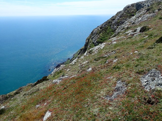
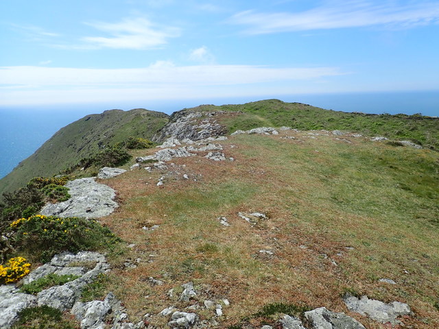
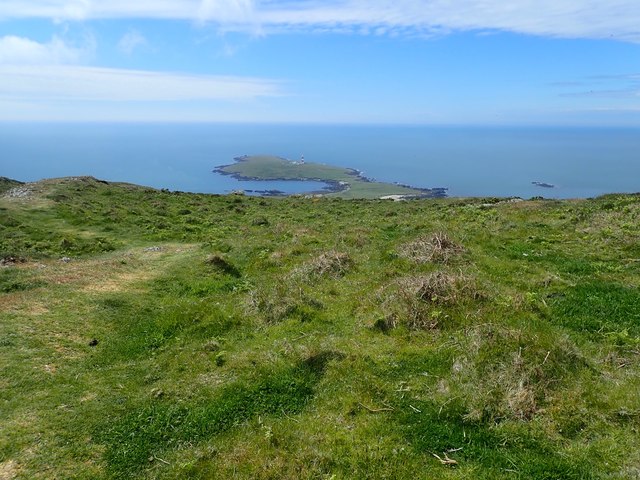
The sea surrounding Cafn Enlli is part of the Irish Sea, providing breathtaking views of the open water. The coastline is characterized by rugged cliffs and rocky outcrops, creating a dramatic backdrop against the crashing waves. This area is a haven for marine life, including seals, dolphins, and a variety of seabirds.
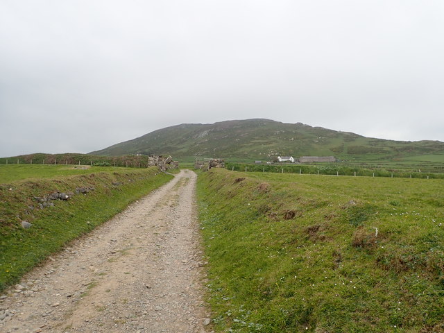
Moving inland, the estuary of Cafn Enlli offers a unique habitat for a wide range of flora and fauna. The estuary is formed where a river meets the sea, creating a transition zone between freshwater and saltwater environments. This mix of habitats supports a rich biodiversity, attracting numerous species of birds, fish, and small mammals.
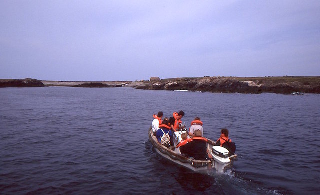
Within Cafn Enlli, a creek meanders through the landscape, adding to the charm of the area. The creek is a smaller waterway, often narrower and shallower than a river. It provides a tranquil setting, with calm waters and a gentle flow. The creek is a popular spot for boating, fishing, and wildlife observation.
Overall, Cafn Enlli is a captivating coastal region that showcases the diverse natural wonders of Caernarfonshire. Whether exploring the rugged sea coastline, observing the rich estuary ecosystem, or relaxing by the peaceful creek, visitors to this area are treated to a truly enchanting experience of nature's beauty.
If you have any feedback on the listing, please let us know in the comments section below.
Cafn Enlli Images
Images are sourced within 2km of 52.753445/-4.7931217 or Grid Reference SH1120. Thanks to Geograph Open Source API. All images are credited.
![The misty isle The title might suggest the Isle of Skye, but this is Ynys Enlli [Bardsey] shrouded in sea mist on a warm September day.](https://s0.geograph.org.uk/geophotos/05/55/75/5557588_00d7f4cc.jpg)

Cafn Enlli is located at Grid Ref: SH1120 (Lat: 52.753445, Lng: -4.7931217)
Unitary Authority: Gwynedd
Police Authority: North Wales
What 3 Words
///sizing.puff.strictest. Near Nefyn, Gwynedd
Nearby Locations
Related Wikis

Bardsey Lighthouse
Bardsey Lighthouse stands on the southerly tip of Bardsey Island, off the Llŷn Peninsula in Gwynedd, Wales, and guides vessels passing through St George...

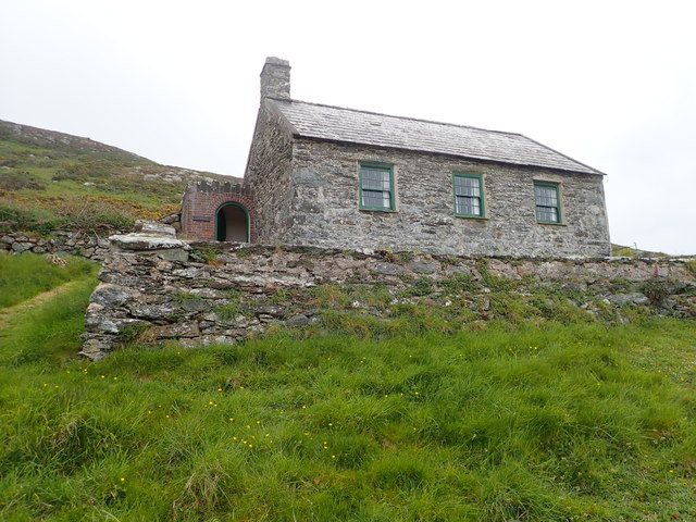
Bardsey Bird and Field Observatory
Bardsey Bird and Field Observatory is a bird observatory on Bardsey Island, off the Welsh coast. It was founded in 1953 by a group of ornithologists from...

Bardsey Island
Bardsey Island (Welsh: Ynys Enlli), known as the legendary "Island of 20,000 Saints", is located 1.9 miles (3.1 km) off the Llŷn Peninsula in the Welsh...

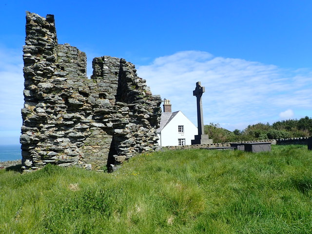
St Hywyn's Church, Aberdaron
The Church of St Hywyn, Aberdaron, Gwynedd, Wales, is a parish church dating from the 12th century. Its origins are earlier, as a clas church from the...
Nearby Amenities
Located within 500m of 52.753445,-4.7931217Have you been to Cafn Enlli?
Leave your review of Cafn Enlli below (or comments, questions and feedback).