Henllwyn
Bay in Caernarfonshire
Wales
Henllwyn
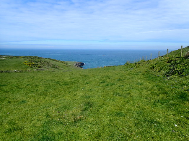
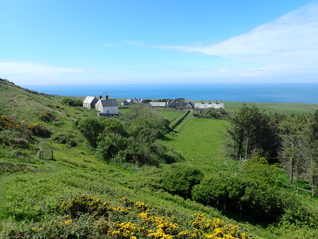
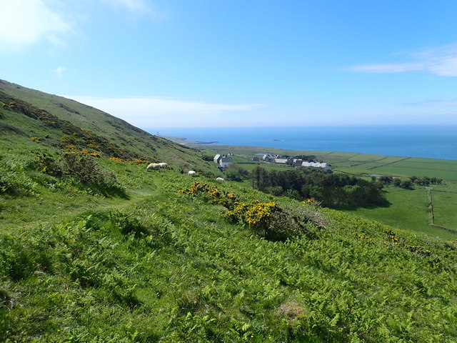
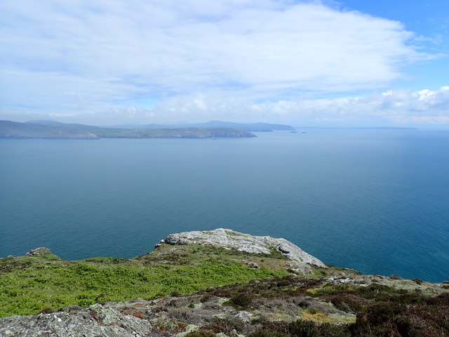
Henllwyn, located in Caernarfonshire, is a breathtaking bay area renowned for its natural beauty and rich history. Situated on the northern coast of Wales, Henllwyn is a popular tourist destination due to its picturesque landscapes and proximity to the Irish Sea.
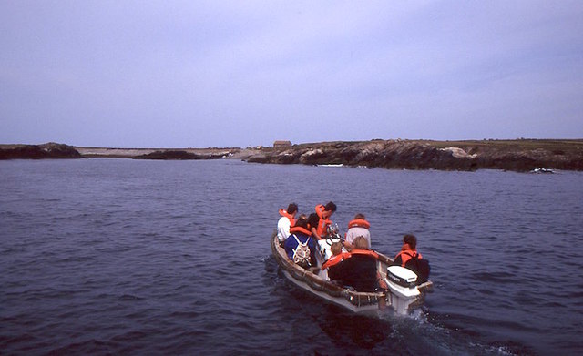
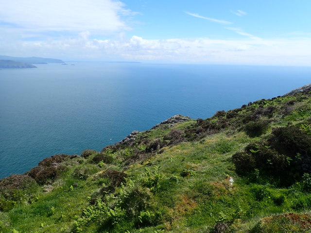
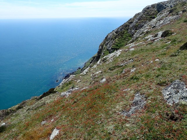
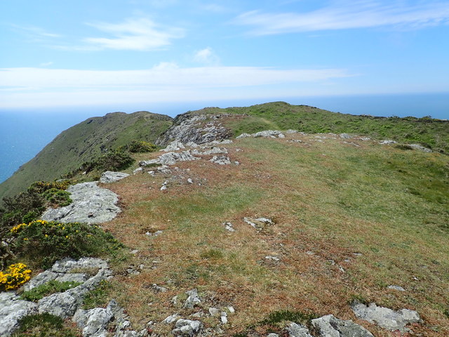
The bay is characterized by its stunning sandy beaches, rugged cliffs, and crystal-clear waters. Visitors can enjoy leisurely walks along the shore, taking in the panoramic views of the surrounding countryside and the azure sea. The bay is also a haven for wildlife enthusiasts, as it is home to a diverse range of bird species, including oystercatchers, herons, and puffins.
Henllwyn boasts a fascinating historical background as well. The area is dotted with ancient ruins and landmarks that offer insight into its past. Caernarfon Castle, a UNESCO World Heritage site, is a notable attraction, showcasing the region's medieval heritage. Built by Edward I in the 13th century, the castle is an impressive architectural marvel, with its imposing walls and towers. Additionally, the nearby village of Bontnewydd is home to the remains of a Roman fort, providing a glimpse into the area's Roman occupation.
In terms of amenities, Henllwyn offers a range of accommodation options, including hotels, guesthouses, and camping sites. There are also several restaurants and cafes where visitors can indulge in local cuisine, such as fresh seafood and traditional Welsh dishes.
Henllwyn, Caernarfonshire, is a captivating bay area that combines natural beauty with a rich historical heritage, making it an ideal destination for nature lovers and history enthusiasts alike.
If you have any feedback on the listing, please let us know in the comments section below.
Henllwyn Images
Images are sourced within 2km of 52.75269/-4.7950149 or Grid Reference SH1120. Thanks to Geograph Open Source API. All images are credited.
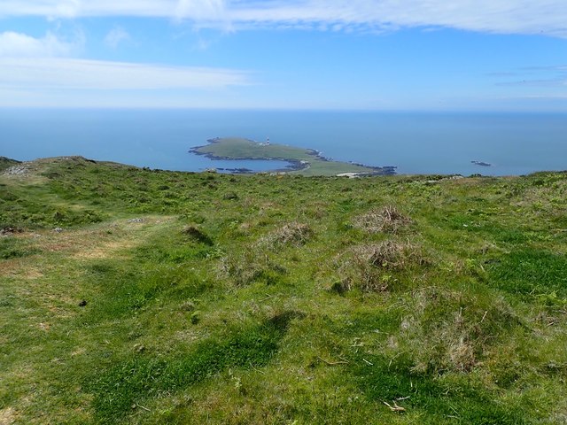
![The misty isle The title might suggest the Isle of Skye, but this is Ynys Enlli [Bardsey] shrouded in sea mist on a warm September day.](https://s0.geograph.org.uk/geophotos/05/55/75/5557588_00d7f4cc.jpg)

Henllwyn is located at Grid Ref: SH1120 (Lat: 52.75269, Lng: -4.7950149)
Unitary Authority: Gwynedd
Police Authority: North Wales
What 3 Words
///escalated.fortified.repeats. Near Nefyn, Gwynedd
Nearby Locations
Related Wikis

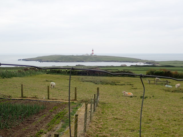
Bardsey Lighthouse
Bardsey Lighthouse stands on the southerly tip of Bardsey Island, off the Llŷn Peninsula in Gwynedd, Wales, and guides vessels passing through St George...

Bardsey Bird and Field Observatory
Bardsey Bird and Field Observatory is a bird observatory on Bardsey Island, off the Welsh coast. It was founded in 1953 by a group of ornithologists from...

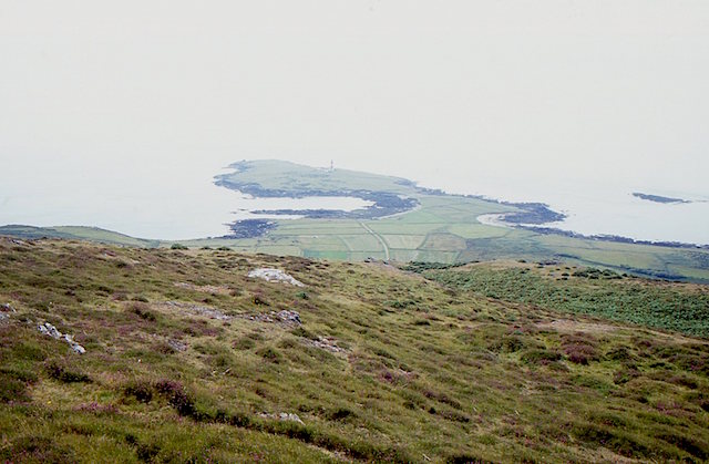
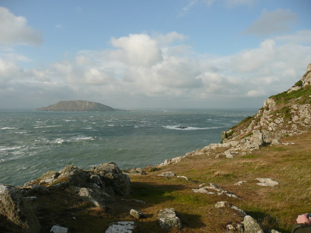
Bardsey Island
Bardsey Island (Welsh: Ynys Enlli), known as the legendary "Island of 20,000 Saints", is located 1.9 miles (3.1 km) off the Llŷn Peninsula in the Welsh...

St Hywyn's Church, Aberdaron
The Church of St Hywyn, Aberdaron, Gwynedd, Wales, is a parish church dating from the 12th century. Its origins are earlier, as a clas church from the...

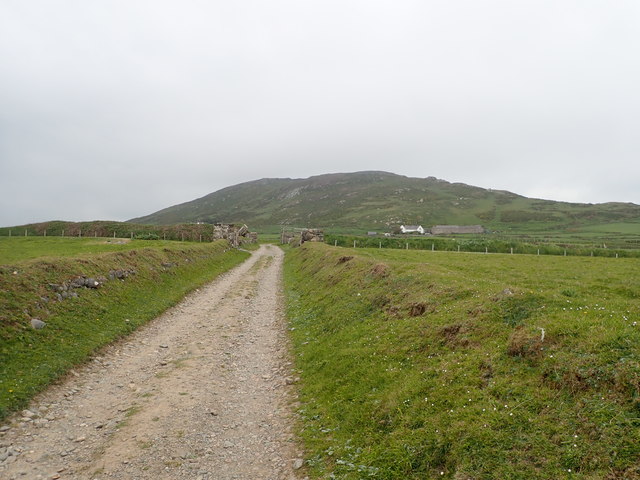
Aberdaron
Aberdaron is a community, electoral ward and former fishing village at the western tip of the Llŷn Peninsula in the Welsh county of Gwynedd. It lies 14...
Nearby Amenities
Located within 500m of 52.75269,-4.7950149Have you been to Henllwyn?
Leave your review of Henllwyn below (or comments, questions and feedback).