Bae Ceredigion
Bay in Caernarfonshire
Wales
Bae Ceredigion
Bae Ceredigion, also known as Caernarfonshire Bay, is a large bay located on the northwestern coast of Wales. It stretches from the Llŷn Peninsula in the west to the Great Orme headland in the east. With its stunning natural beauty and rich history, Bae Ceredigion is a popular destination for locals and tourists alike.
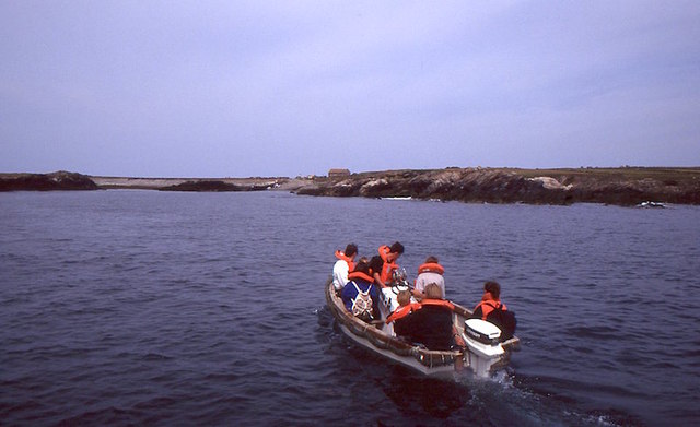
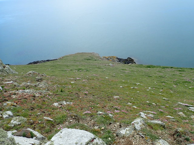
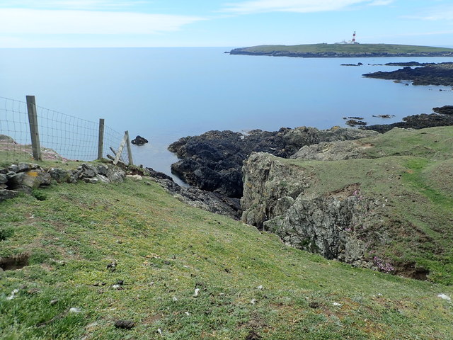
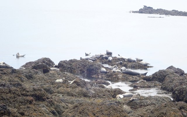
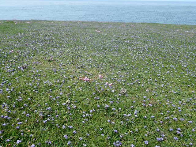
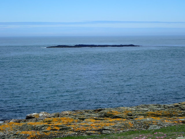
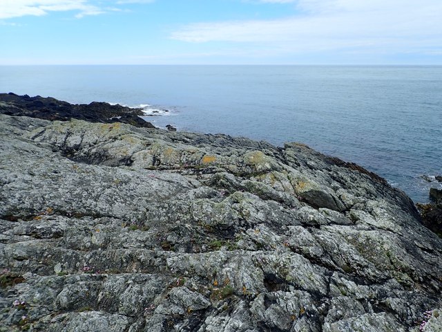
The bay is characterized by its picturesque coastline, which is dotted with sandy beaches, rugged cliffs, and charming seaside villages. The area is known for its diverse wildlife, including seals, dolphins, and various seabirds, making it a haven for nature lovers and birdwatchers.
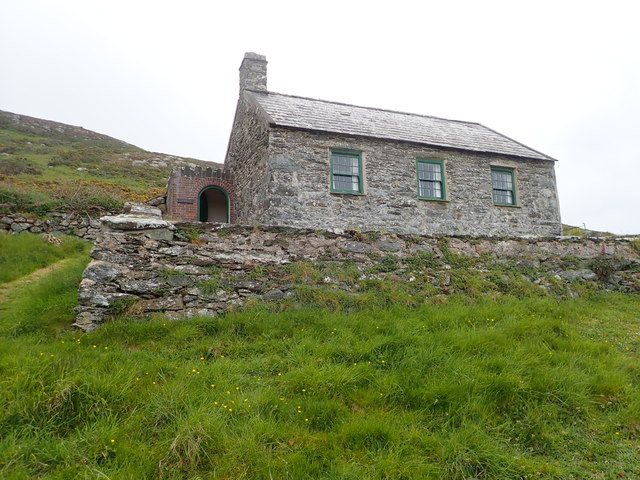
Caernarfonshire Bay is also renowned for its historical significance. It is home to several notable landmarks, such as the medieval fortress of Caernarfon Castle, a UNESCO World Heritage site. The castle, built by Edward I in the 13th century, stands as a testament to the region's rich history and serves as a popular tourist attraction.
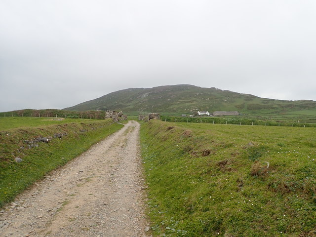
In addition to its natural and historical attractions, Bae Ceredigion offers a range of recreational activities. Visitors can enjoy water sports such as sailing, kayaking, and windsurfing, or explore the bay's coastal paths, which offer breathtaking views of the surrounding landscape.
Overall, Bae Ceredigion, Caernarfonshire Bay, offers a perfect blend of natural beauty, historical significance, and recreational opportunities, making it a must-visit destination for anyone exploring the northwestern coast of Wales.
If you have any feedback on the listing, please let us know in the comments section below.
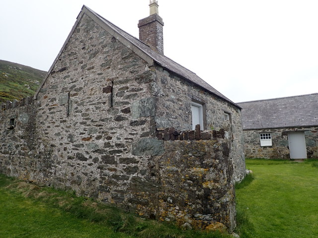
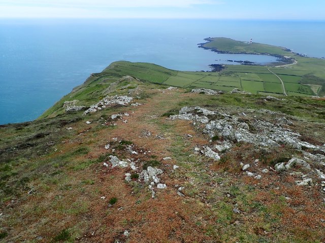
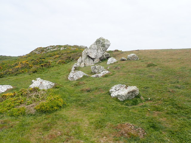
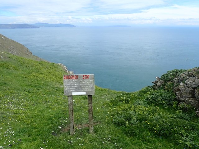
Bae Ceredigion Images
Images are sourced within 2km of 52.746152/-4.8014867 or Grid Reference SH1120. Thanks to Geograph Open Source API. All images are credited.
Bae Ceredigion is located at Grid Ref: SH1120 (Lat: 52.746152, Lng: -4.8014867)
Unitary Authority: Gwynedd
Police Authority: North Wales
Also known as: Cardigan Bay
What 3 Words
///renew.courts.dignify. Near Nefyn, Gwynedd
Nearby Locations
Related Wikis

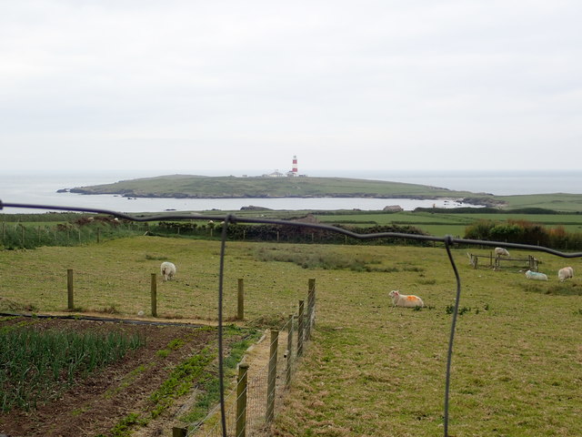
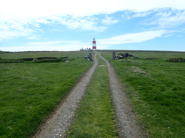
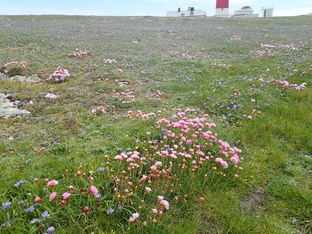
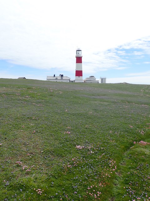
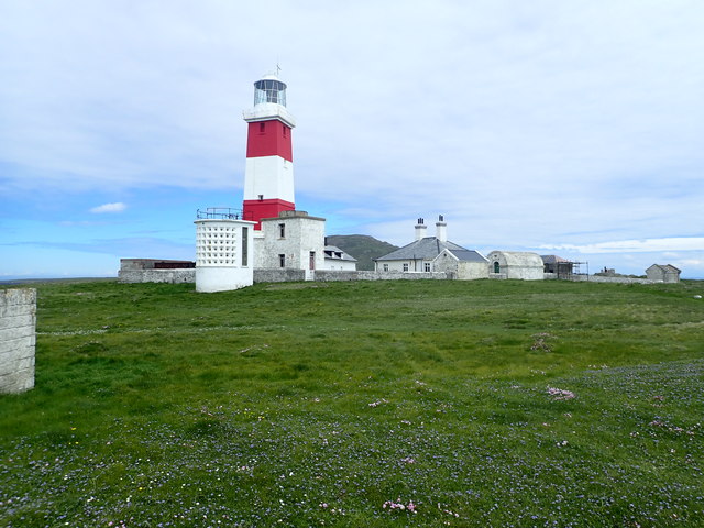
Bardsey Lighthouse
Bardsey Lighthouse stands on the southerly tip of Bardsey Island, off the Llŷn Peninsula in Gwynedd, Wales, and guides vessels passing through St George...

Bardsey Bird and Field Observatory
Bardsey Bird and Field Observatory is a bird observatory on Bardsey Island, off the Welsh coast. It was founded in 1953 by a group of ornithologists from...

Bardsey Island
Bardsey Island (Welsh: Ynys Enlli), known as the legendary "Island of 20,000 Saints", is located 1.9 miles (3.1 km) off the Llŷn Peninsula in the Welsh...

St Hywyn's Church, Aberdaron
The Church of St Hywyn, Aberdaron, Gwynedd, Wales, is a parish church dating from the 12th century. Its origins are earlier, as a clas church from the...
Nearby Amenities
Located within 500m of 52.746152,-4.8014867Have you been to Bae Ceredigion?
Leave your review of Bae Ceredigion below (or comments, questions and feedback).