Gaswallt
Coastal Feature, Headland, Point in Caernarfonshire
Wales
Gaswallt
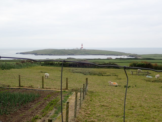
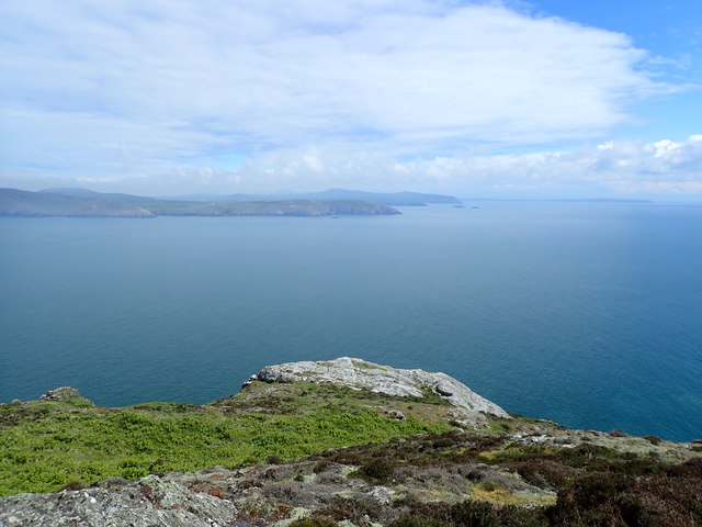
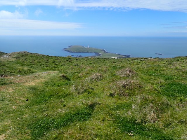
Gaswallt, located in Caernarfonshire, is a prominent headland and coastal feature situated on the northwestern coast of Wales. Occupying a strategic position, it extends into the Irish Sea and offers stunning panoramic views of the surrounding landscape.
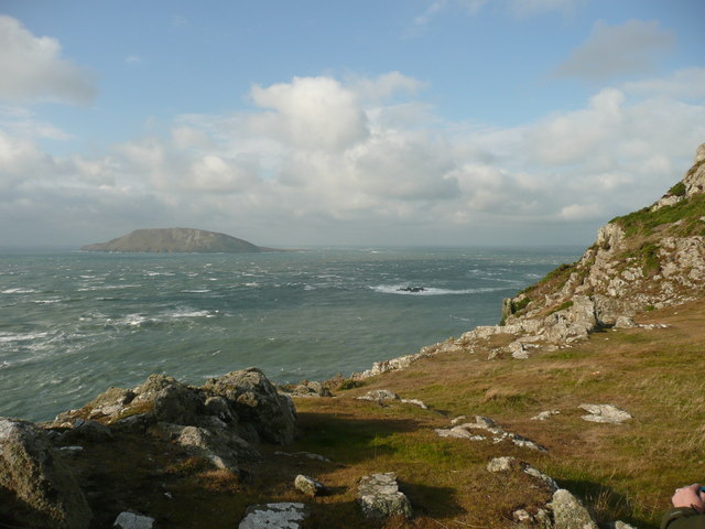
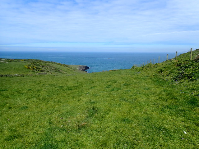
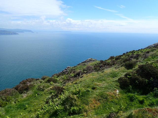
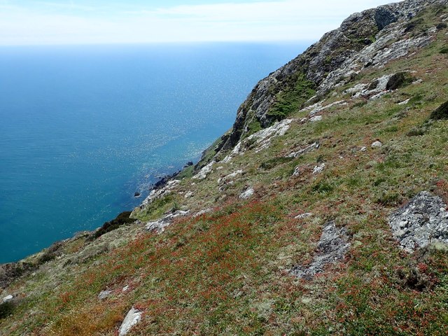
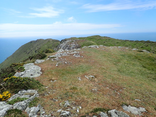
Gaswallt is characterized by its rugged and rocky terrain, which juts out into the sea, forming a natural promontory. The headland is composed of ancient volcanic rocks, creating dramatic cliffs that tower over the crashing waves below. These cliffs are a haven for a variety of seabirds, including razorbills, guillemots, and fulmars, which nest along the sheer faces.
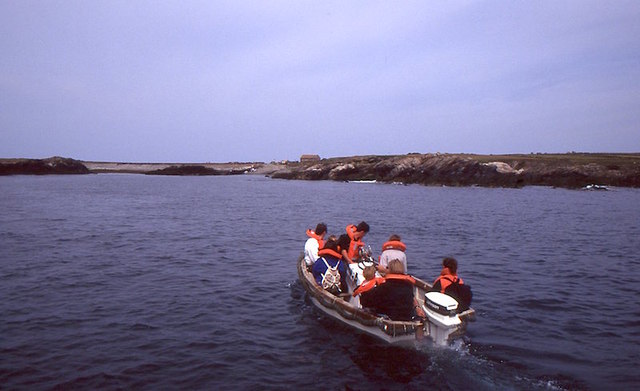
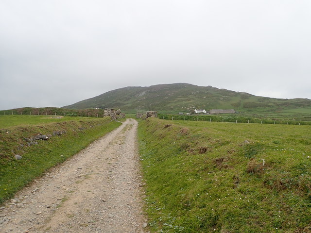
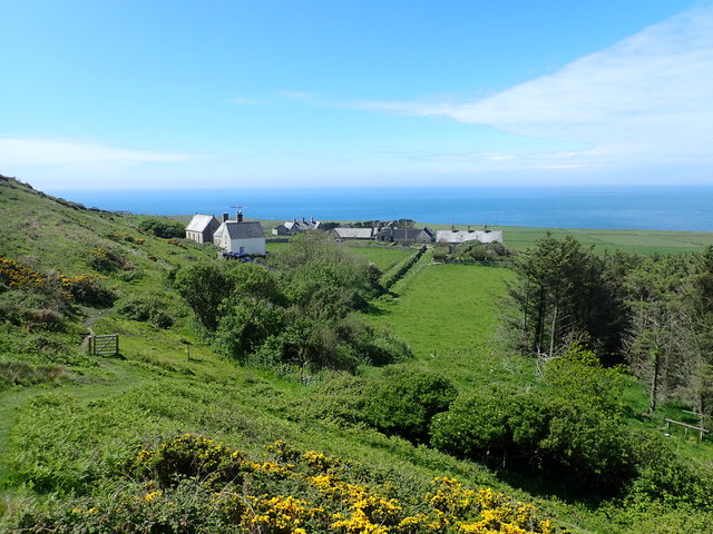
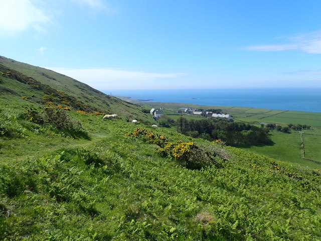
The headland is accessible via a well-maintained footpath that winds its way along the coast, providing visitors with a chance to explore the diverse flora and fauna that thrive in this unique coastal habitat. Dotted along the path are small coves and secluded beaches, offering opportunities for beachcombing and relaxation.
Gaswallt is also of historical significance, with remnants of an Iron Age hillfort visible on its slopes. The hillfort, dating back to around 500 BC, provides a glimpse into the region's ancient past and offers a fascinating insight into the lives of its early inhabitants.
Its location on the Welsh coast makes Gaswallt an excellent spot for outdoor enthusiasts, with activities such as hiking, birdwatching, and photography being popular among visitors. The headland's undisturbed natural beauty and tranquil atmosphere make it a haven for those seeking solace and a connection with nature.
In summary, Gaswallt is a captivating headland and coastal feature in Caernarfonshire, Wales. With its rugged cliffs, diverse wildlife, and historical significance, it offers a unique and enriching experience for all who visit.
If you have any feedback on the listing, please let us know in the comments section below.
Gaswallt Images
Images are sourced within 2km of 52.753129/-4.7935609 or Grid Reference SH1120. Thanks to Geograph Open Source API. All images are credited.
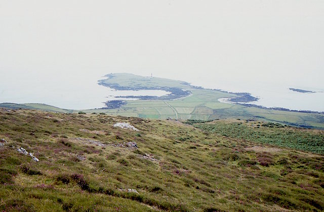
![The misty isle The title might suggest the Isle of Skye, but this is Ynys Enlli [Bardsey] shrouded in sea mist on a warm September day.](https://s0.geograph.org.uk/geophotos/05/55/75/5557588_00d7f4cc.jpg)

Gaswallt is located at Grid Ref: SH1120 (Lat: 52.753129, Lng: -4.7935609)
Unitary Authority: Gwynedd
Police Authority: North Wales
What 3 Words
///grandest.line.pricier. Near Nefyn, Gwynedd
Nearby Locations
Related Wikis

Bardsey Lighthouse
Bardsey Lighthouse stands on the southerly tip of Bardsey Island, off the Llŷn Peninsula in Gwynedd, Wales, and guides vessels passing through St George...

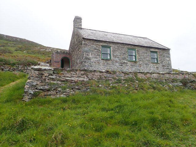
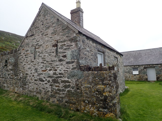
Bardsey Bird and Field Observatory
Bardsey Bird and Field Observatory is a bird observatory on Bardsey Island, off the Welsh coast. It was founded in 1953 by a group of ornithologists from...

Bardsey Island
Bardsey Island (Welsh: Ynys Enlli), known as the legendary "Island of 20,000 Saints", is located 1.9 miles (3.1 km) off the Llŷn Peninsula in the Welsh...

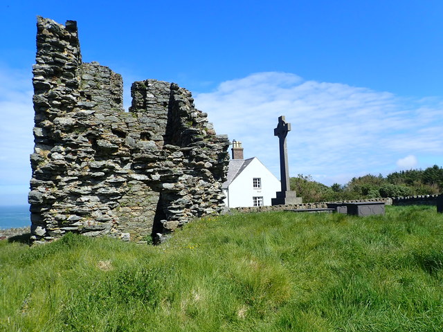
St Hywyn's Church, Aberdaron
The Church of St Hywyn, Aberdaron, Gwynedd, Wales, is a parish church dating from the 12th century. Its origins are earlier, as a clas church from the...
Nearby Amenities
Located within 500m of 52.753129,-4.7935609Have you been to Gaswallt?
Leave your review of Gaswallt below (or comments, questions and feedback).