Bullet

Coastal Feature, Headland, Point in Wigtownshire

Scotland

Bullet

Knowes Farm The Knowes translates as 'the knolls' in the ancient Scottish language.  There is certainly a surfeit of grassy knolls in the area.
Knowes Farm Credit: Jeff Wells

Bullet is a prominent coastal feature located in Wigtownshire, Scotland. It is a headland that extends into the North Channel of the Irish Sea, forming a distinct and recognizable point in the region. The headland is known for its rugged and dramatic cliffs, which rise steeply from the sea and provide breathtaking views of the surrounding landscape.

At its highest point, Bullet reaches an elevation of approximately 50 meters (164 feet) above sea level, making it a prominent landmark visible from miles away. The headland is characterized by its distinctive rocky outcrops, which are the result of millions of years of erosion by the powerful waves and currents of the Irish Sea.

The area surrounding Bullet is rich in biodiversity and provides a habitat for a variety of marine and bird species. The cliffs and rocky shores are home to nesting seabirds such as guillemots, razorbills, and kittiwakes, while the waters below attract seals, porpoises, and dolphins. The headland also offers a haven for a diverse range of plant life, including rare species adapted to the coastal environment.

Bullet is a popular destination for nature enthusiasts, hikers, and photographers who are drawn to its stunning natural beauty and wildlife. There are several well-maintained walking trails that lead visitors along the cliff tops, offering unparalleled views of the surrounding coastline and the vast expanse of the Irish Sea.

If you have any feedback on the listing, please let us know in the comments section below.
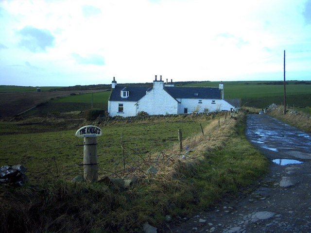
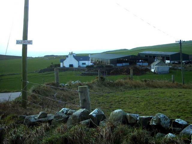
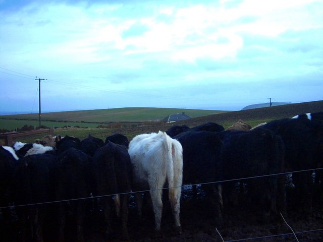
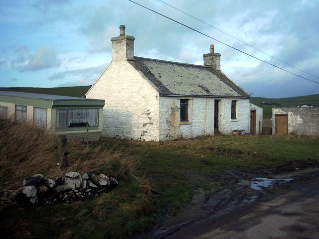
Bullet Images

Images are sourced within 2km of 54.643966/-4.9228804 or Grid Reference NX1131. Thanks to Geograph Open Source API. All images are credited.

Knowes Farm The Knowes translates as 'the knolls' in the ancient Scottish language.  There is certainly a surfeit of grassy knolls in the area.
Knowes Farm
The Knowes translates as 'the knolls' in the ancient Scottish language. There is certainly a surfeit of grassy knolls in the area.
Cardryne Farm Owing to the decline in profitability of dairy farming Cardryne, like many other local dairy farms, is currently for sale.
Cardryne Farm
Owing to the decline in profitability of dairy farming Cardryne, like many other local dairy farms, is currently for sale.
Knock Knowe 'Knock' is a Scottish variant of 'clock'.  A 'Knowe' is a knoll in the Scottish language.  I have no idea why this hill is so named.  It appears to be a completely featureless, muddy, ploughed object.
Knock Knowe
'Knock' is a Scottish variant of 'clock'. A 'Knowe' is a knoll in the Scottish language. I have no idea why this hill is so named. It appears to be a completely featureless, muddy, ploughed object.
Pulinkum Farm and Slewmag Just the roof of buildings on Pulinkum Farm can be seen.  The hill behind is Slewmag, and the Mull of Galloway can be seen in the distance on the right of the picture.
Pulinkum Farm and Slewmag
Just the roof of buildings on Pulinkum Farm can be seen. The hill behind is Slewmag, and the Mull of Galloway can be seen in the distance on the right of the picture.
Knowes Cottage One of many local farm cottages awaiting sympathetic restoration.
Knowes Cottage
One of many local farm cottages awaiting sympathetic restoration.
Port Kemin
Port Kemin
Rocky Coastline, on the Rhins of Galloway
East Cairngaan Cottage Remote cottage situated on the lane from Mull School (B7041) to Cardrain. Nearby is Jenny Smit's Well, a natural spring.
East Cairngaan Cottage
Remote cottage situated on the lane from Mull School (B7041) to Cardrain. Nearby is Jenny Smit's Well, a natural spring.
Rain curtain View of the road as it approaches the bend after passing East Muntloch farm. It was dry where I was standing, but a heavy squall was in progress at the end of the road as can be seen from the misty curtain running alongside the hedge in the distance.
Rain curtain
View of the road as it approaches the bend after passing East Muntloch farm. It was dry where I was standing, but a heavy squall was in progress at the end of the road as can be seen from the misty curtain running alongside the hedge in the distance.
Cattle sheds at Cardryne At this time of year only the calves are living in the big sheds. A farm road towards the shore runs between the farm buildings.
Cattle sheds at Cardryne
At this time of year only the calves are living in the big sheds. A farm road towards the shore runs between the farm buildings.
Beef herd at Cardryne Inquisitive, young beef cattle beside the farm track.
Beef herd at Cardryne
Inquisitive, young beef cattle beside the farm track.
Cliff edge with Man Flower-rich turf atop the cliffs to the south of Knock Knowe. In the distance, the Isle of Man is clearly visible, with a line of cumulus clouds marking the high ground.
Cliff edge with Man
Flower-rich turf atop the cliffs to the south of Knock Knowe. In the distance, the Isle of Man is clearly visible, with a line of cumulus clouds marking the high ground.
Cliffs by Wallace Hole Far from ideal lighting for this view of the impressive cliffs that run almost uninterrupted for many kilometres to the northwest.
Cliffs by Wallace Hole
Far from ideal lighting for this view of the impressive cliffs that run almost uninterrupted for many kilometres to the northwest.
Fishing from Mulanderrie Although I was aware that I was following a rough path, I did not expect to find people fishing at the base of this buttress.
Fishing from Mulanderrie
Although I was aware that I was following a rough path, I did not expect to find people fishing at the base of this buttress.
Till outcrop Where the bank has been hollowed out at Slouchlaurie there is a fine outcrop of glacial till, surmounted by a field wall made with rounded erratic boulders, mostly of granite. The track to Cardryne runs away to the north, past the newly-installed wind turbine.
Till outcrop
Where the bank has been hollowed out at Slouchlaurie there is a fine outcrop of glacial till, surmounted by a field wall made with rounded erratic boulders, mostly of granite. The track to Cardryne runs away to the north, past the newly-installed wind turbine.
Cardrain farm buildings Business-like and well-tended farm buildings at Cardrain.
Cardrain farm buildings
Business-like and well-tended farm buildings at Cardrain.
Blawn wind turbines Arable crops on the hill marked as Blawn, with a wide headland of greater diversity. Every summit here seems to be surmounted by a cluster of wind-turbines. The sea just creeps into the image at the left.
Blawn wind turbines
Arable crops on the hill marked as Blawn, with a wide headland of greater diversity. Every summit here seems to be surmounted by a cluster of wind-turbines. The sea just creeps into the image at the left.
West Cairngaan Another large farm complex in this intensively worked landscape, although the farmyard and silage clamp no longer appear to be in use. A footpath is signposted down the farm track in the valley.
West Cairngaan
Another large farm complex in this intensively worked landscape, although the farmyard and silage clamp no longer appear to be in use. A footpath is signposted down the farm track in the valley.
Show me another place!

Bullet is located at Grid Ref: NX1131 (Lat: 54.643966, Lng: -4.9228804)

Unitary Authority: Dumfries and Galloway

Police Authority: Dumfries and Galloway

What 3 Words

///shuttered.prayers.unspoiled. Near Drummore, Dumfries & Galloway

Related Wikis

Cairngaan

Cairngaan, Wigtownshire, is the southmost settlement in Scotland. The hamlet of Cairngaan lies just north of the Mull of Galloway (which contains Scotland...

Mull of Galloway

The Mull of Galloway (Scottish Gaelic: Maol nan Gall, pronounced [mɯːlˠ̪ nəŋ ˈkaulˠ̪]; grid reference NX158303) is the southernmost point of Scotland....

Kirkmaiden (village)

Kirkmaiden (sometimes Maidenkirk; Scottish Gaelic: Cill M'Eudan) is a small settlement in Galloway, Scotland, located approximately 17 miles (27 km) south...

Drummore

Drummore (drum-ORE; (from Gaelic An Druim Mòr meaning "the great ridge") is the southernmost village in Scotland, located at the southern end of the Rhins...

Kirkmaiden

Kirkmaiden is a parish in the Rhins of Galloway, the most southerly in Scotland; the present Church of Scotland parish has the same name as and is approximately...

Pasages (steam trawler)

ST Pasages (FD 119) was originally a Canadian "Castle" – TR series minesweeping trawler built by the Dominion Shipbuilding Company, Toronto, in 1917 for...

Port Logan

Port Logan, formerly Port Nessock, is a small village in the parish of Kirkmaiden in the Rhins of Galloway in Wigtownshire. The Gaelic name is Port Neasaig...

Nearby Amenities

Located within 500m of 54.643966,-4.9228804
Source: PGS
Lat/Long: 54.6469127/-4.928334
Source: PGS
Lat/Long: 54.6463622/-4.9278557
Source: PGS
Lat/Long: 54.6461328/-4.9275213
Source: PGS
Lat/Long: 54.6460125/-4.9273366
Source: PGS
Lat/Long: 54.6456787/-4.9274399
Source: PGS
Lat/Long: 54.6459506/-4.9266345
Source: PGS
Lat/Long: 54.6457146/-4.9262385
Source: PGS
Lat/Long: 54.6455623/-4.9257361
Source: PGS
Lat/Long: 54.6455245/-4.9252585
Source: PGS
Lat/Long: 54.6449684/-4.9254814
Source: PGS
Lat/Long: 54.6448971/-4.9248864
Source: PGS
Lat/Long: 54.644613/-4.9249735
Source: PGS
Lat/Long: 54.6446115/-4.924265
Source: PGS
Lat/Long: 54.6448514/-4.9235376
Source: PGS
Lat/Long: 54.644374/-4.9233948
Source: PGS
Lat/Long: 54.6439036/-4.9223756
Source: PGS
Lat/Long: 54.6437253/-4.9217504
Source: PGS
Lat/Long: 54.6434945/-4.9223232
Source: PGS
Lat/Long: 54.6438292/-4.9209198
Source: PGS
Lat/Long: 54.6436429/-4.9204421
Source: PGS
Lat/Long: 54.6434362/-4.9208346
Source: PGS
Lat/Long: 54.6435461/-4.9200686
Source: PGS
Lat/Long: 54.6434953/-4.9188039
Source: PGS
Lat/Long: 54.6430515/-4.919235
Source: PGS
Lat/Long: 54.6431289/-4.9188045
Source: PGS
Lat/Long: 54.6426534/-4.9182764
Source: PGS
Lat/Long: 54.642556/-4.9175341
Source: PGS
Lat/Long: 54.642555/-4.9171209
Source: PGS
Lat/Long: 54.6427271/-4.916768
Source: PGS
Lat/Long: 54.6429224/-4.9164836
Source: PGS
Lat/Long: 54.6431026/-4.9158949
Source: PGS
Lat/Long: 54.6434826/-4.9158593
Source: PGS
Lat/Long: 54.6433194/-4.9154414
Knock Knowe
Natural: peak
Lat/Long: 54.6470997/-4.920553
The data included in this document is from www.openstreetmap.org. The data is made available under ODbL.

Have you been to Bullet?

Leave your review of Bullet below (or comments, questions and feedback).