Pulinkum Burn Foot

Sea, Estuary, Creek in Wigtownshire

Scotland

Pulinkum Burn Foot

View west from Barracks Bridge East Cairngaan on the horizon.
View west from Barracks Bridge Credit: Russel Wills

Pulinkum Burn Foot is a small coastal settlement located in Wigtownshire, Scotland. Situated on the western shores of the country, it is surrounded by picturesque landscapes and offers stunning views of the sea, estuary, and creek.

The main attraction of Pulinkum Burn Foot is its beautiful sandy beach, which stretches along the coastline for several kilometers. The beach is a popular spot for both locals and tourists, who can enjoy sunbathing, swimming, and various beach activities. The clear blue waters of the sea provide an ideal setting for water sports enthusiasts, such as sailing, windsurfing, and kayaking.

The estuary in Pulinkum Burn Foot is formed by the convergence of the Pulinkum Burn and the sea. This estuary is a haven for wildlife, attracting a variety of bird species, including ducks, swans, and herons. Birdwatchers can spend hours observing and photographing these magnificent creatures in their natural habitat.

The creek in Pulinkum Burn Foot adds to the charm of the area. It meanders through the landscape, providing a tranquil and peaceful environment for visitors. The creek is also home to a diverse range of plant and animal species, making it an excellent spot for nature lovers to explore and appreciate the local biodiversity.

Overall, Pulinkum Burn Foot is a hidden gem on the Wigtownshire coast. Its stunning sea, estuary, and creek offer a range of recreational activities and nature experiences for all to enjoy. Whether you are seeking relaxation on the beach or an opportunity to immerse yourself in the beauty of the natural surroundings, Pulinkum Burn Foot has something for everyone.

If you have any feedback on the listing, please let us know in the comments section below.

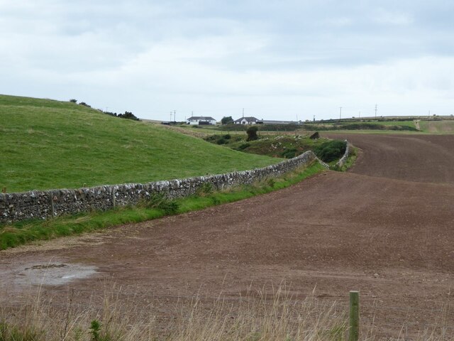
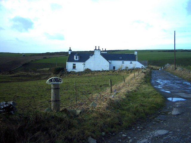
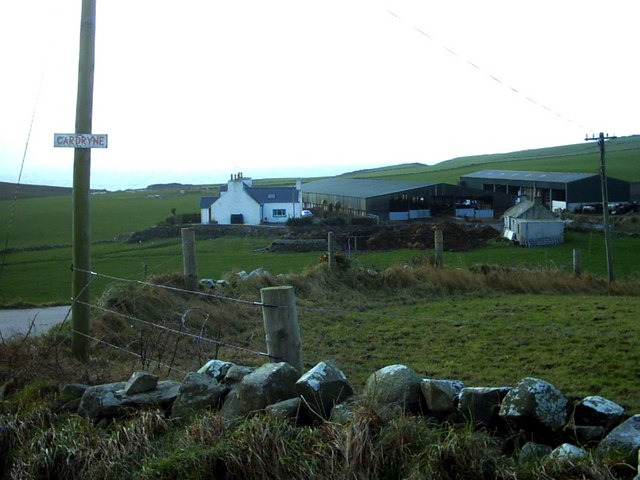
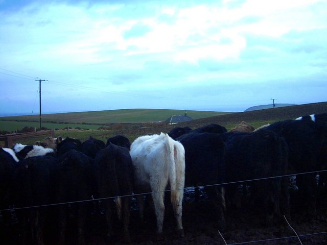
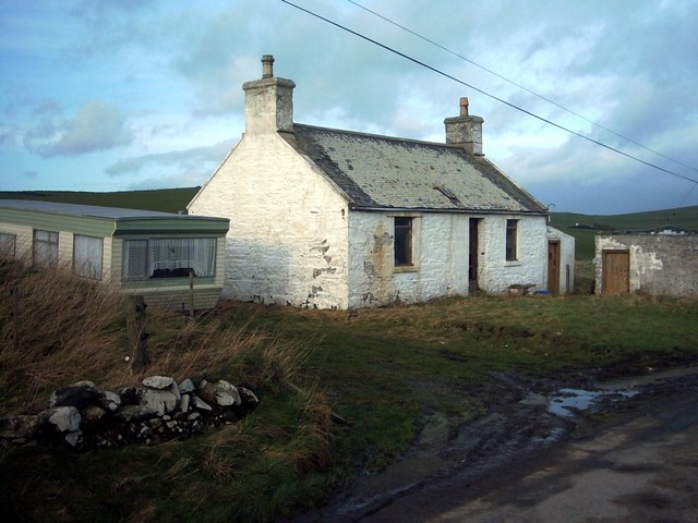
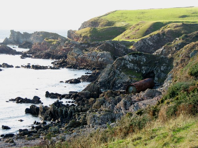
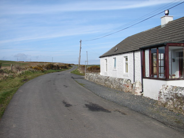
Pulinkum Burn Foot Images

Images are sourced within 2km of 54.643267/-4.9157149 or Grid Reference NX1131. Thanks to Geograph Open Source API. All images are credited.

View west from Barracks Bridge East Cairngaan on the horizon.
View west from Barracks Bridge
East Cairngaan on the horizon.
West Tarbet, Mull of Galloway West Tarbet is the bay at the narrow neck of land a mile from Mull of Galloway.  Just how many Tarbets are there in Scotland?
West Tarbet, Mull of Galloway
West Tarbet is the bay at the narrow neck of land a mile from Mull of Galloway. Just how many Tarbets are there in Scotland?
Knowes Farm The Knowes translates as 'the knolls' in the ancient Scottish language.  There is certainly a surfeit of grassy knolls in the area.
Knowes Farm
The Knowes translates as 'the knolls' in the ancient Scottish language. There is certainly a surfeit of grassy knolls in the area.
Cardryne Farm Owing to the decline in profitability of dairy farming Cardryne, like many other local dairy farms, is currently for sale.
Cardryne Farm
Owing to the decline in profitability of dairy farming Cardryne, like many other local dairy farms, is currently for sale.
Knock Knowe 'Knock' is a Scottish variant of 'clock'.  A 'Knowe' is a knoll in the Scottish language.  I have no idea why this hill is so named.  It appears to be a completely featureless, muddy, ploughed object.
Knock Knowe
'Knock' is a Scottish variant of 'clock'. A 'Knowe' is a knoll in the Scottish language. I have no idea why this hill is so named. It appears to be a completely featureless, muddy, ploughed object.
Pulinkum Farm and Slewmag Just the roof of buildings on Pulinkum Farm can be seen.  The hill behind is Slewmag, and the Mull of Galloway can be seen in the distance on the right of the picture.
Pulinkum Farm and Slewmag
Just the roof of buildings on Pulinkum Farm can be seen. The hill behind is Slewmag, and the Mull of Galloway can be seen in the distance on the right of the picture.
Knowes Cottage One of many local farm cottages awaiting sympathetic restoration.
Knowes Cottage
One of many local farm cottages awaiting sympathetic restoration.
Port Kemin
Port Kemin
Country Road The end of the road is nigh!  These passing places feature at regular intervals on this single-track road the (eventually) leads to the Mull of Galloway whose lighthouse may be seen in the far distance. Luce Bay is on the left.
Country Road
The end of the road is nigh! These passing places feature at regular intervals on this single-track road the (eventually) leads to the Mull of Galloway whose lighthouse may be seen in the far distance. Luce Bay is on the left.
Rocky Coastline, on the Rhins of Galloway
Mull of Galloway Farm & Cottage
West Tarbet
West Tarbet
East Cairngaan Cottage Remote cottage situated on the lane from Mull School (B7041) to Cardrain. Nearby is Jenny Smit's Well, a natural spring.
East Cairngaan Cottage
Remote cottage situated on the lane from Mull School (B7041) to Cardrain. Nearby is Jenny Smit's Well, a natural spring.
Mull Glen The steep v-shaped profile of Mull Glen suggests that it was carved by a river rather than  being a glacial meltwater channel. For a similar view in sunshine see <a href="https://www.geograph.org.uk/photo/5550049">NX1331 : Mull Glen</a>.
Mull Glen
The steep v-shaped profile of Mull Glen suggests that it was carved by a river rather than being a glacial meltwater channel. For a similar view in sunshine see NX1331 : Mull Glen.
Mull Glen This is the last part of the little glen before it emerges on to the shore.
Mull Glen
This is the last part of the little glen before it emerges on to the shore.
Pink Beach Almost every other rock along here is named on one or other of the maps, but this little stony bay doesn't seem to have a name. The pink pebbles seem to be mainly from an outcrop of felsite which forms the isthmus between West Tarbet and East Tarbet.
Pink Beach
Almost every other rock along here is named on one or other of the maps, but this little stony bay doesn't seem to have a name. The pink pebbles seem to be mainly from an outcrop of felsite which forms the isthmus between West Tarbet and East Tarbet.
Sole Structures Geologically speaking, this is a real bit of "ooh-ah" rock. It's the underside of a sandstone bed which was deposited on a surface eroded into a series of hollows created by currents in an underwater avalanche when it reached the deep ocean bed. Since then the bed has been raised and tilted to beyond the vertical by tectonic movements, and the underlying stratum has been eroded away, leaving this spectacular rock face. The rounded lobes point upstream, so the current that created this was flowing more or less towards where I am standing, but several layers higher up the succession.
Sole Structures
Geologically speaking, this is a real bit of "ooh-ah" rock. It's the underside of a sandstone bed which was deposited on a surface eroded into a series of hollows created by currents in an underwater avalanche when it reached the deep ocean bed. Since then the bed has been raised and tilted to beyond the vertical by tectonic movements, and the underlying stratum has been eroded away, leaving this spectacular rock face. The rounded lobes point upstream, so the current that created this was flowing more or less towards where I am standing, but several layers higher up the succession.
Slouchanamars This area abounds in splendid names for rocks, and this one is one of the best. It is probably Gaelic in origin, and makes a much more evocative title than something like 'boulders on the shore'.
Slouchanamars
This area abounds in splendid names for rocks, and this one is one of the best. It is probably Gaelic in origin, and makes a much more evocative title than something like 'boulders on the shore'.
Show me another place!

Pulinkum Burn Foot is located at Grid Ref: NX1131 (Lat: 54.643267, Lng: -4.9157149)

Unitary Authority: Dumfries and Galloway

Police Authority: Dumfries and Galloway

What 3 Words

///lousy.escalates.drew. Near Drummore, Dumfries & Galloway

Related Wikis

Cairngaan

Cairngaan, Wigtownshire, is the southmost settlement in Scotland. The hamlet of Cairngaan lies just north of the Mull of Galloway (which contains Scotland...

Mull of Galloway

The Mull of Galloway (Scottish Gaelic: Maol nan Gall, pronounced [mɯːlˠ̪ nəŋ ˈkaulˠ̪]; grid reference NX158303) is the southernmost point of Scotland....

Drummore

Drummore (drum-ORE; (from Gaelic An Druim Mòr meaning "the great ridge") is the southernmost village in Scotland, located at the southern end of the Rhins...

Kirkmaiden (village)

Kirkmaiden (sometimes Maidenkirk; Scottish Gaelic: Cill M'Eudan) is a small settlement in Galloway, Scotland, located approximately 17 miles (27 km) south...

Nearby Amenities

Located within 500m of 54.643267,-4.9157149
Source: PGS
Lat/Long: 54.6439036/-4.9223756
Source: PGS
Lat/Long: 54.6437253/-4.9217504
Source: PGS
Lat/Long: 54.6434945/-4.9223232
Source: PGS
Lat/Long: 54.6438292/-4.9209198
Source: PGS
Lat/Long: 54.6436429/-4.9204421
Source: PGS
Lat/Long: 54.6434362/-4.9208346
Source: PGS
Lat/Long: 54.6435461/-4.9200686
Source: PGS
Lat/Long: 54.6434953/-4.9188039
Source: PGS
Lat/Long: 54.6430515/-4.919235
Source: PGS
Lat/Long: 54.6431289/-4.9188045
Source: PGS
Lat/Long: 54.6426534/-4.9182764
Source: PGS
Lat/Long: 54.642556/-4.9175341
Source: PGS
Lat/Long: 54.642555/-4.9171209
Source: PGS
Lat/Long: 54.6427271/-4.916768
Source: PGS
Lat/Long: 54.6429224/-4.9164836
Source: PGS
Lat/Long: 54.6431026/-4.9158949
Source: PGS
Lat/Long: 54.6434826/-4.9158593
Source: PGS
Lat/Long: 54.6433194/-4.9154414
Source: PGS
Lat/Long: 54.6437832/-4.9150212
Source: PGS
Lat/Long: 54.6435803/-4.9144019
Source: PGS
Lat/Long: 54.643222/-4.9144215
Source: PGS
Lat/Long: 54.642988/-4.9139656
Source: PGS
Lat/Long: 54.6434357/-4.9141561
Source: PGS
Lat/Long: 54.643393/-4.913766
Source: PGS
Lat/Long: 54.6435922/-4.9131495
Source: PGS
Lat/Long: 54.6432529/-4.9124197
Source: PGS
Lat/Long: 54.6428001/-4.9124523
Source: PGS
Lat/Long: 54.6426138/-4.9121422
Source: PGS
Lat/Long: 54.6427869/-4.9115461
Source: PGS
Lat/Long: 54.6432347/-4.9108482
Source: PGS
Lat/Long: 54.6434143/-4.9086274
The data included in this document is from www.openstreetmap.org. The data is made available under ODbL.

Have you been to Pulinkum Burn Foot?

Leave your review of Pulinkum Burn Foot below (or comments, questions and feedback).