Bae y Rhigol
Sea, Estuary, Creek in Caernarfonshire
Wales
Bae y Rhigol
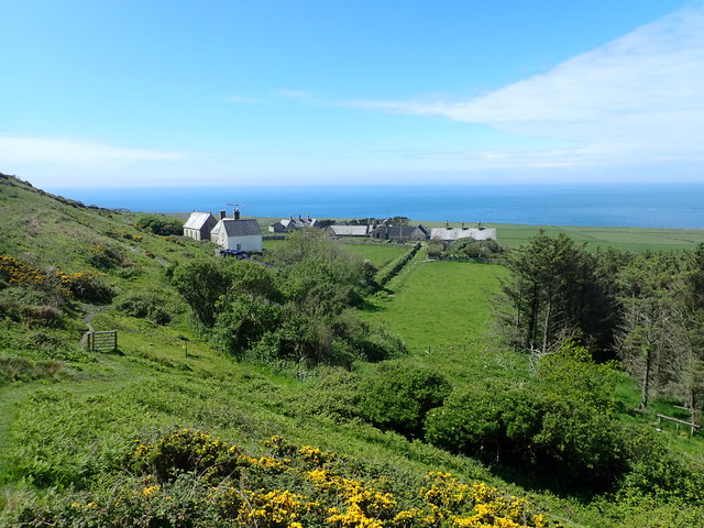
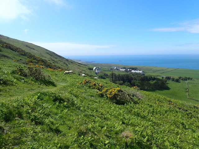
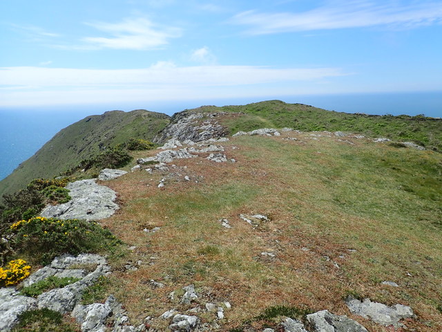
Bae y Rhigol is a small but picturesque coastal area located in Caernarfonshire, Wales. Nestled between the towns of Criccieth and Porthmadog, this beautiful spot is known for its stunning sea views, estuary, and creek.
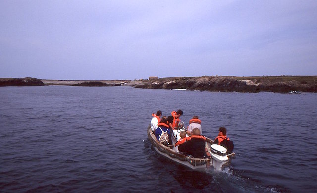
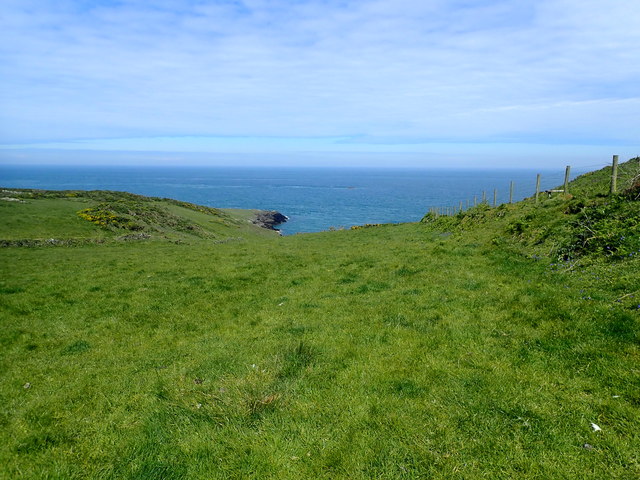
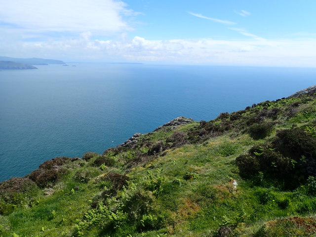
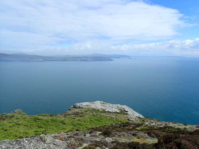
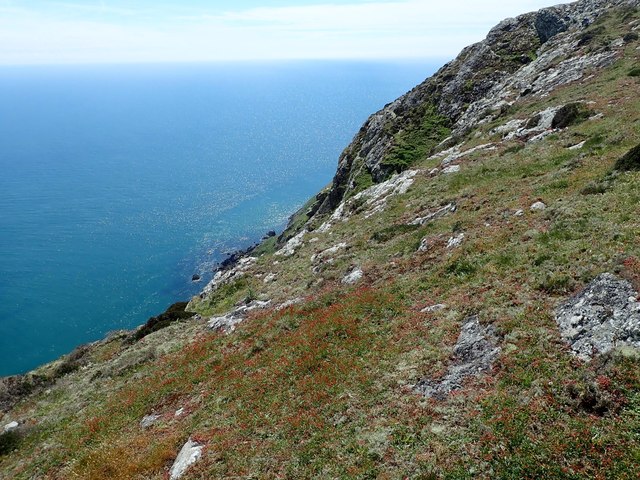
The area is bordered by the Irish Sea to the north, offering visitors breathtaking vistas of the open waters. The sea in Bae y Rhigol is often dotted with sailboats, providing a charming and idyllic backdrop for those seeking tranquility or engaging in water activities.
To the south, Bae y Rhigol is embraced by an estuary, creating a unique and diverse ecosystem. This estuary is a haven for a wide range of bird species, making it a popular destination for birdwatchers. The intertidal mudflats and marshes found here provide a rich feeding ground for these birds, including curlews, sandpipers, and oystercatchers.
In addition to the sea and estuary, Bae y Rhigol is also home to a creek, which meanders through the landscape. The creek is surrounded by lush greenery, with small boats gently rocking in the water. This peaceful setting is perfect for those seeking a tranquil walk or a quiet picnic by the water's edge.
Overall, Bae y Rhigol is a hidden gem in Caernarfonshire, offering visitors a chance to connect with nature and enjoy the beauty of the Welsh coastline. Whether you are a nature lover, a bird enthusiast, or simply seeking a peaceful retreat, this coastal area has something to offer everyone.
If you have any feedback on the listing, please let us know in the comments section below.
Bae y Rhigol Images
Images are sourced within 2km of 52.768323/-4.7909908 or Grid Reference SH1122. Thanks to Geograph Open Source API. All images are credited.
![The misty isle The title might suggest the Isle of Skye, but this is Ynys Enlli [Bardsey] shrouded in sea mist on a warm September day.](https://s0.geograph.org.uk/geophotos/05/55/75/5557588_00d7f4cc.jpg)

Bae y Rhigol is located at Grid Ref: SH1122 (Lat: 52.768323, Lng: -4.7909908)
Unitary Authority: Gwynedd
Police Authority: North Wales
What 3 Words
///pushover.mailers.wand. Near Nefyn, Gwynedd
Nearby Locations
Related Wikis

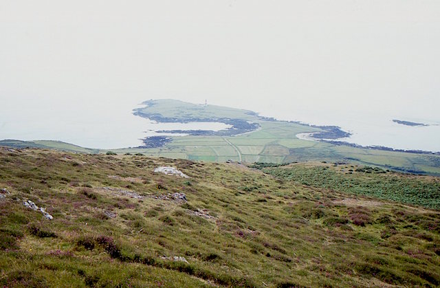
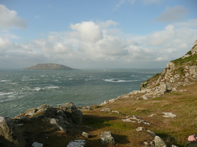
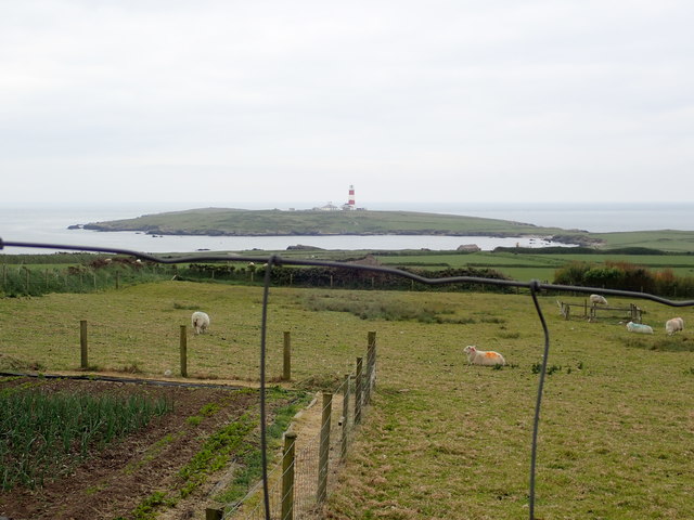
Bardsey Island
Bardsey Island (Welsh: Ynys Enlli), known as the legendary "Island of 20,000 Saints", is located 1.9 miles (3.1 km) off the Llŷn Peninsula in the Welsh...

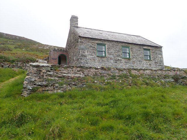
Bardsey Bird and Field Observatory
Bardsey Bird and Field Observatory is a bird observatory on Bardsey Island, off the Welsh coast. It was founded in 1953 by a group of ornithologists from...

Bardsey Lighthouse
Bardsey Lighthouse stands on the southerly tip of Bardsey Island, off the Llŷn Peninsula in Gwynedd, Wales, and guides vessels passing through St George...

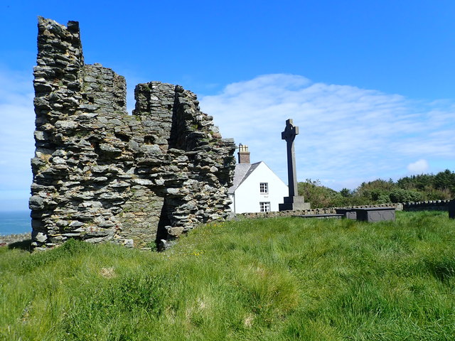
St Hywyn's Church, Aberdaron
The Church of St Hywyn, Aberdaron, Gwynedd, Wales, is a parish church dating from the 12th century. Its origins are earlier, as a clas church from the...

Aberdaron
Aberdaron is a community, electoral ward and former fishing village at the western tip of the Llŷn Peninsula in the Welsh county of Gwynedd. It lies 14...
Nearby Amenities
Located within 500m of 52.768323,-4.7909908Have you been to Bae y Rhigol?
Leave your review of Bae y Rhigol below (or comments, questions and feedback).